velo47
Member
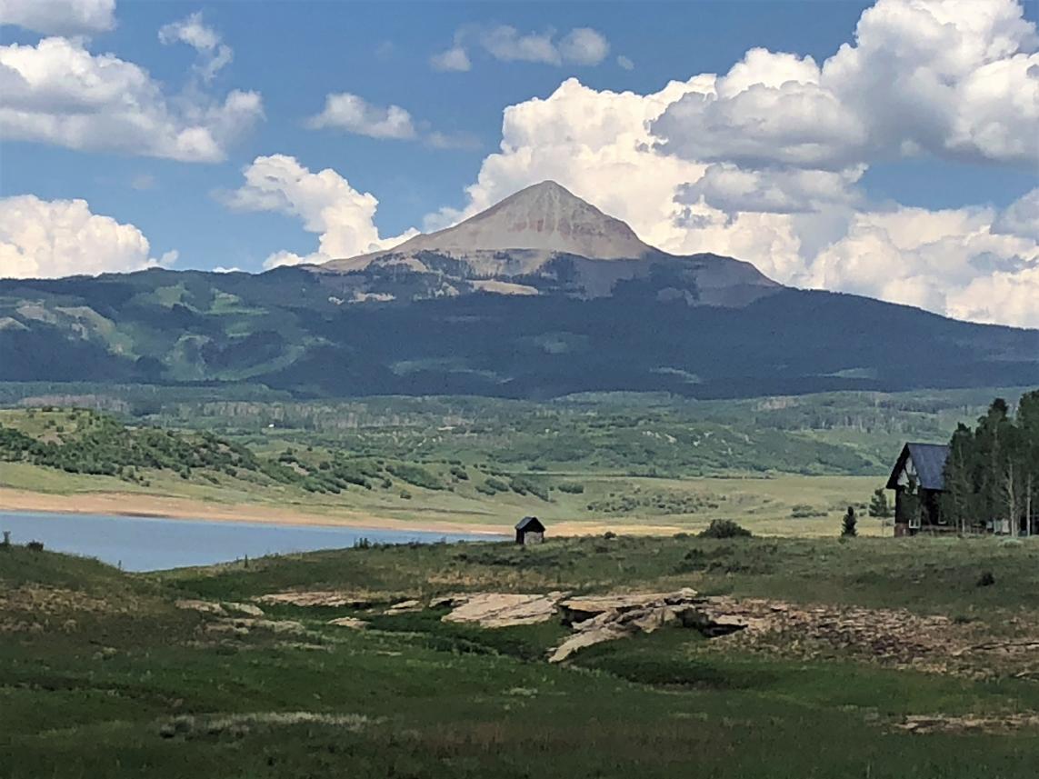
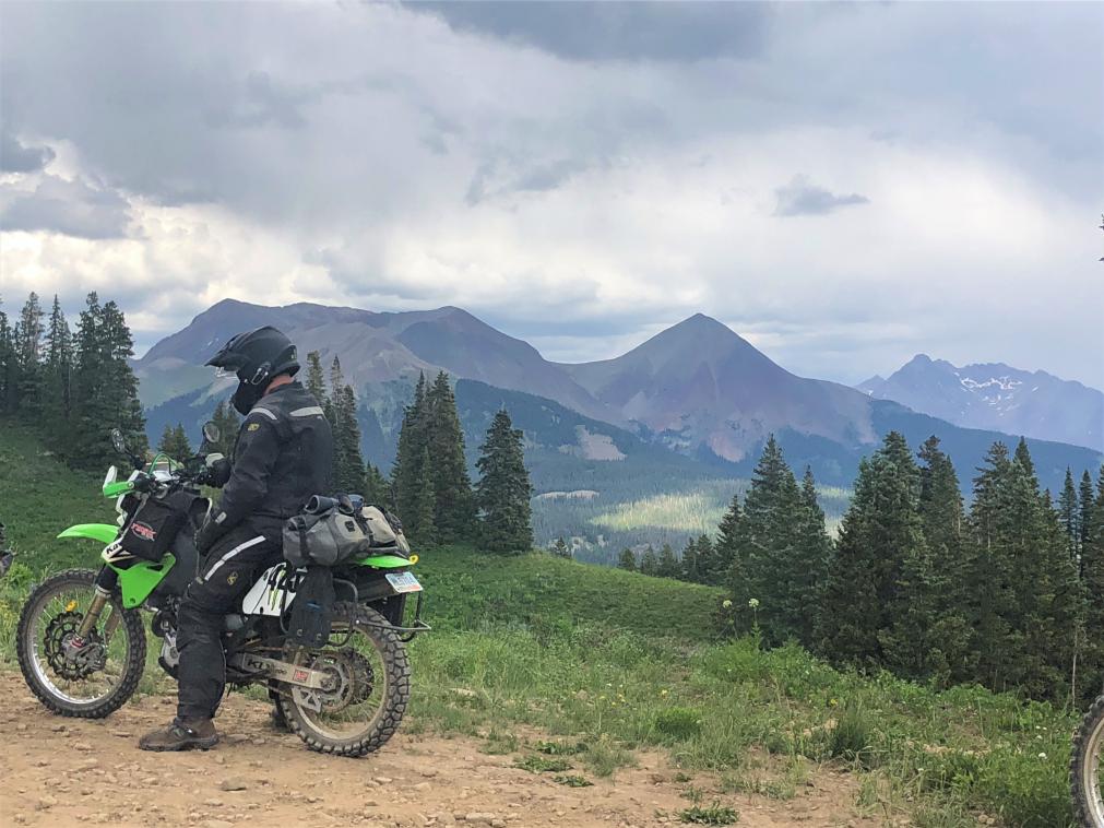
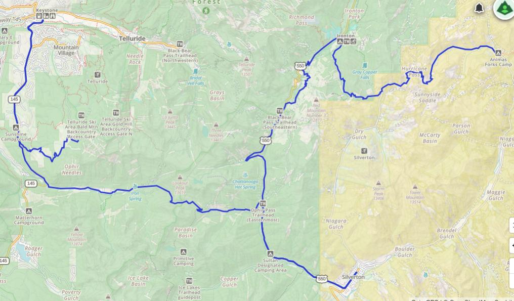
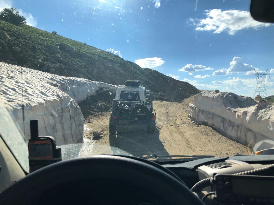
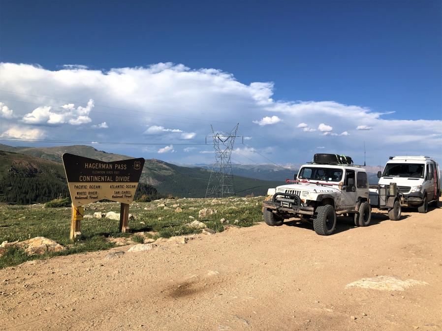
Continental Divide and Colorado BDR
Last May, I drove the Arizona Backcountry Discovery Route with three others, one Jeep and two motorcycles. Bill, Patrick, and John were great to travel with and we had an awesome trip. So, this year when they said they wanted to do the Colorado BDR, I was all in. Their schedules dictated that we do the trip the week beginning on July 5, and we would do the trip south to north.
Our family usually goes up to western Montana to visit my stepdaughter, fish, and generally laze about around the end of July, so I thought maybe I could combine a trip up the Continental Divide, the CO BDR, and our family vacation into a great adventure. My wife, stepson, and grandson could not do the whole trip due to other commitments, jobs, etc., so…
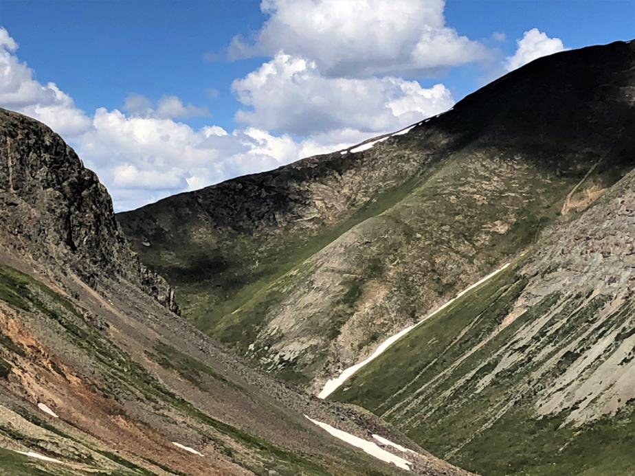
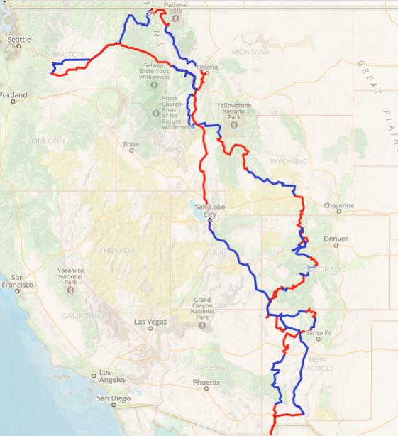
On June 26, I left home on epic journey (for me, anyway). I set off to drive the Continental Divide Route, primarily solo, with a detour to do the CO BDR. I would meet up with the family late in July in Missoula after completing the CDR and we would drive home together in early August. This was by far the longest trip of its kind I had ever attempted, let alone by myself.
Day 1 – Albuquerque, NM to Las Cruces, NM – 225 miles
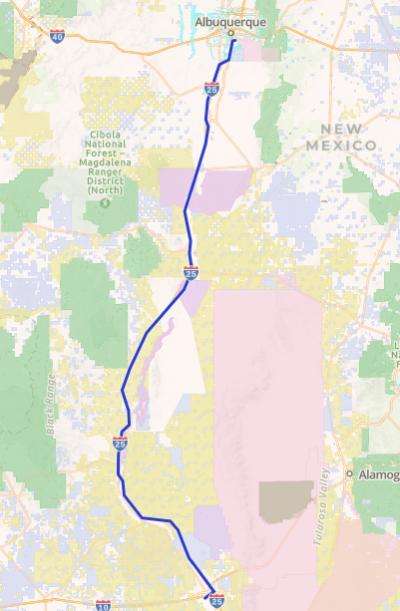
The journey started with an uneventful drive down I-25 to Las Cruces, NM and a stay at what I assumed would be the last motel for a while. I picked up a dozen green chile cheese tamales at Roberto's and put them in the fridge for later. Had a grilled cheese and a couple beers at Picacho Peak Brewery, and called it a night.
Day 2 – Las Cruces to Silver City – 275 miles
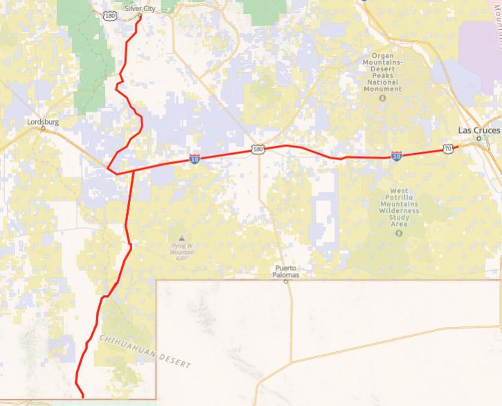
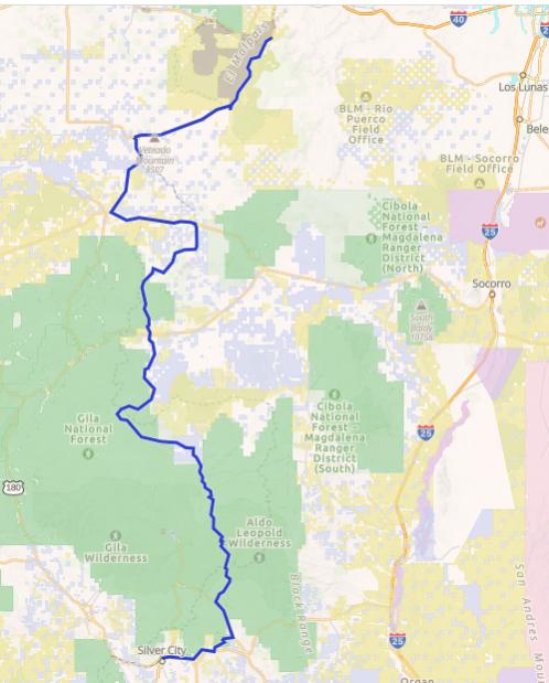
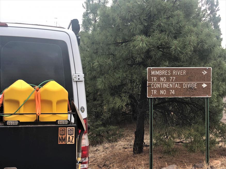
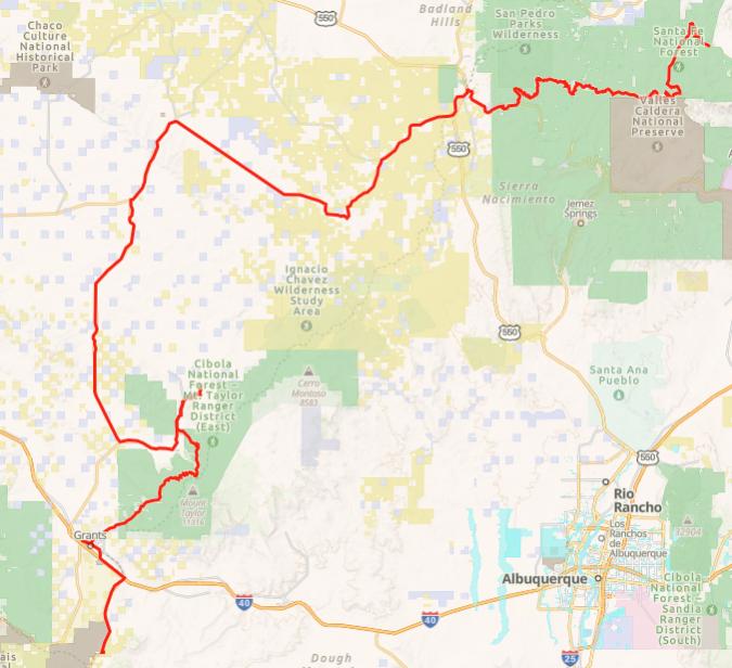
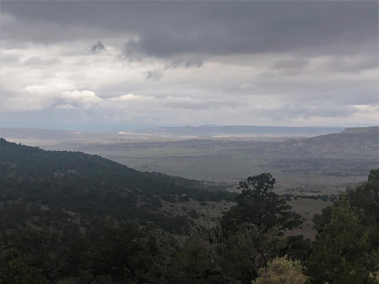
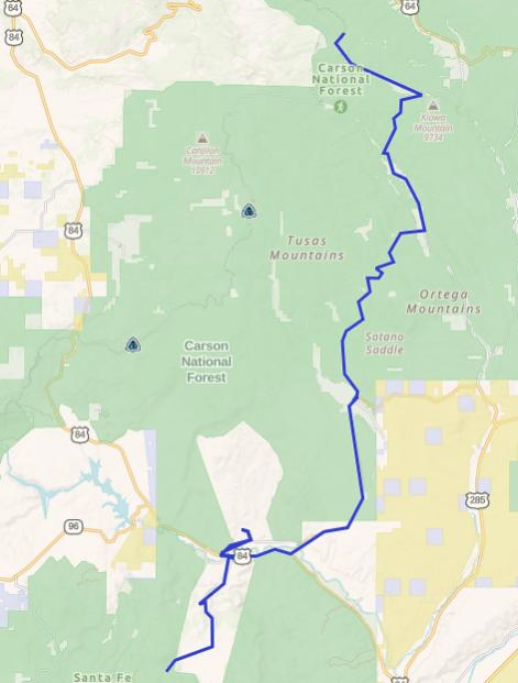
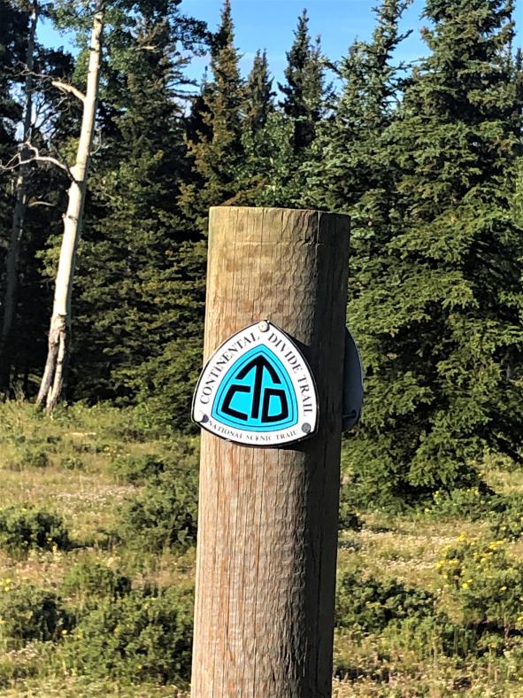
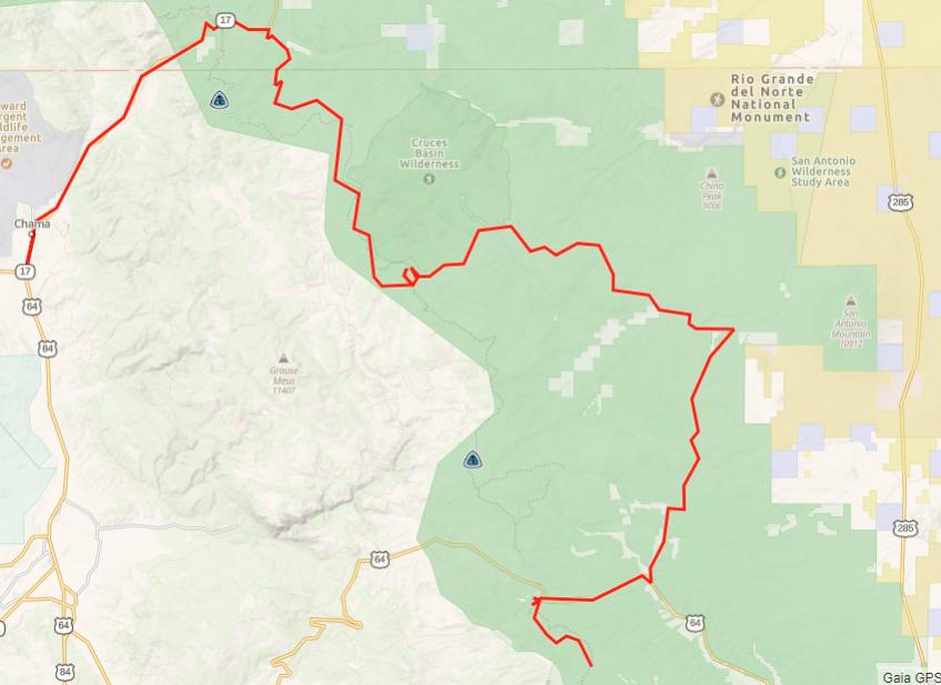
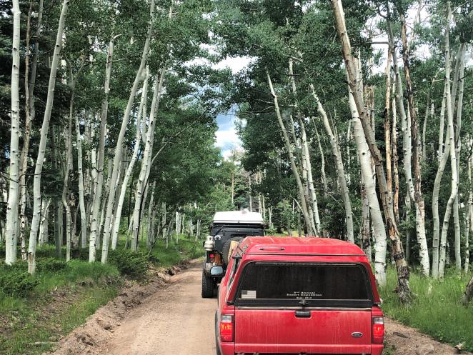
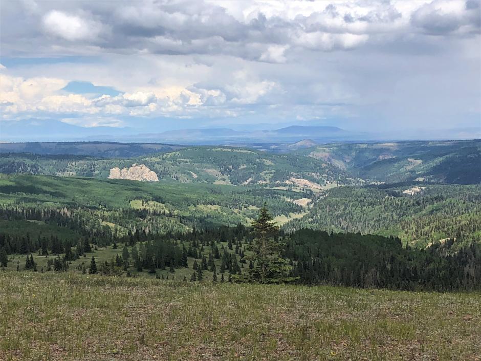
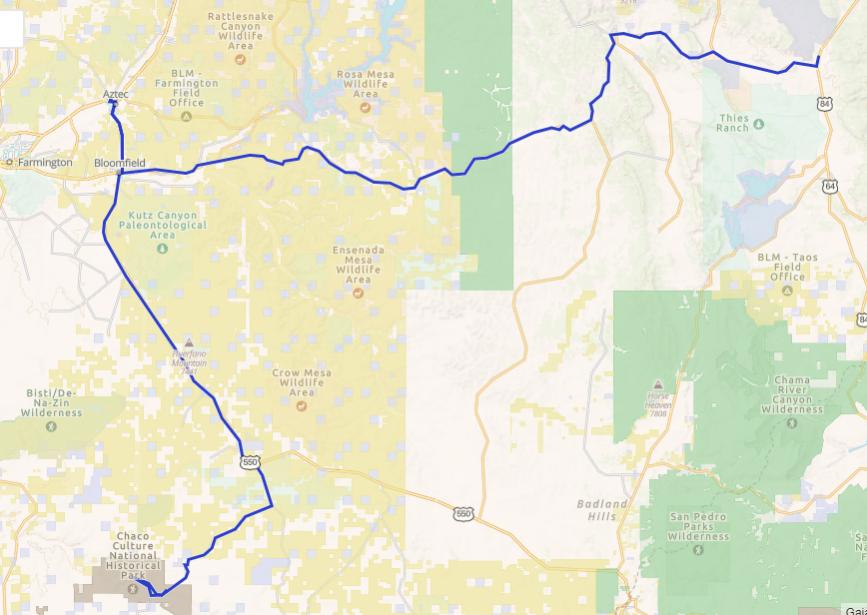
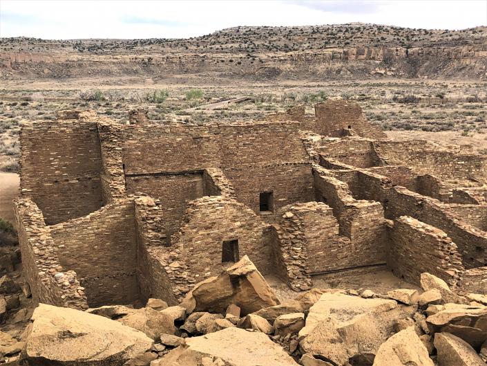
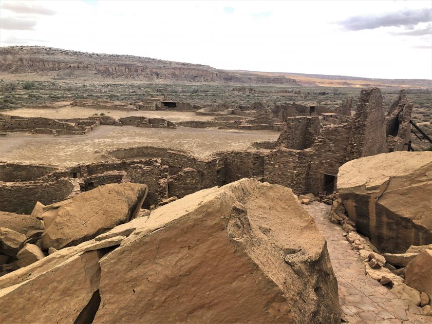
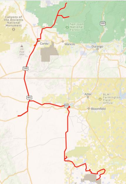
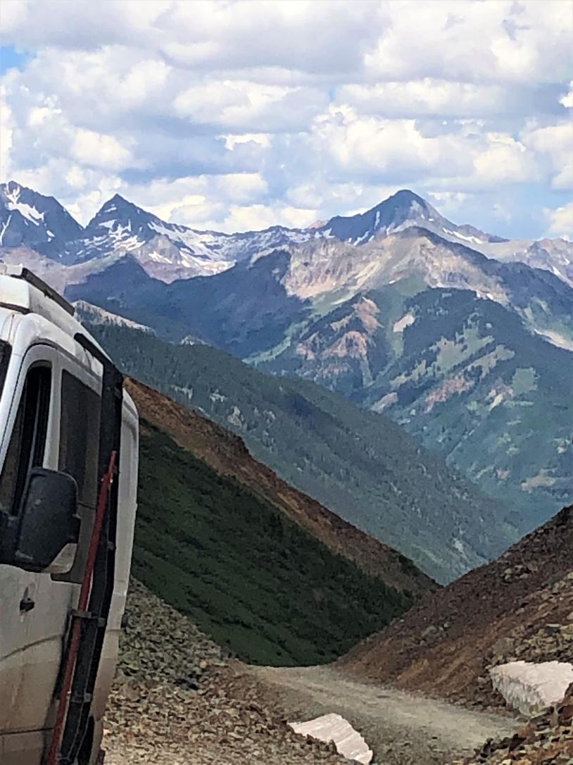
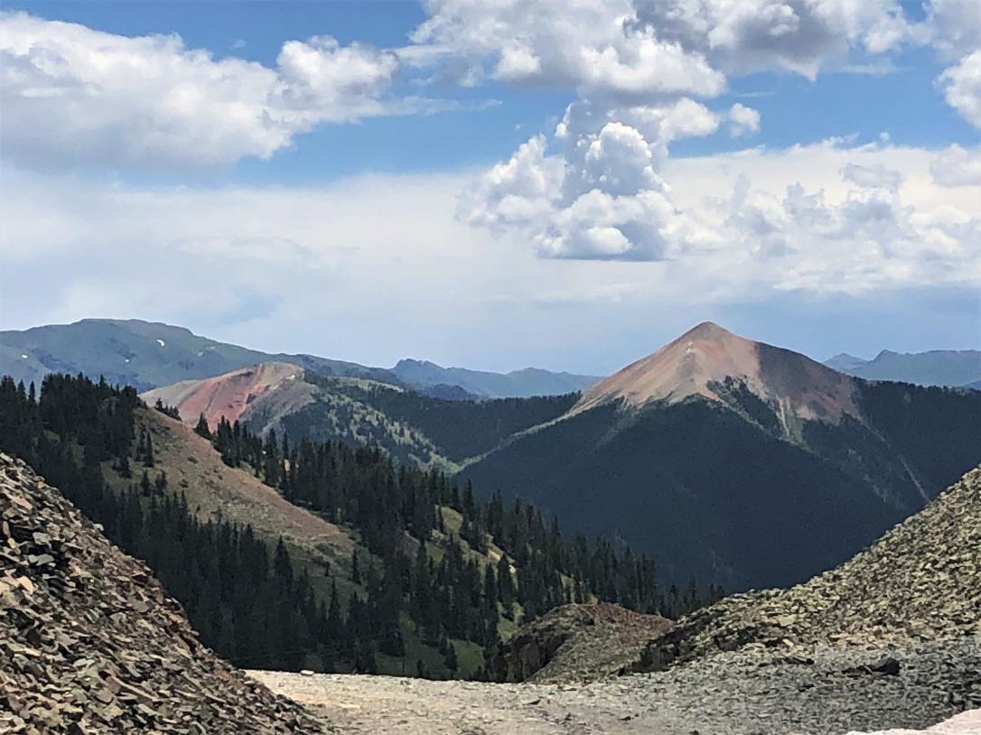
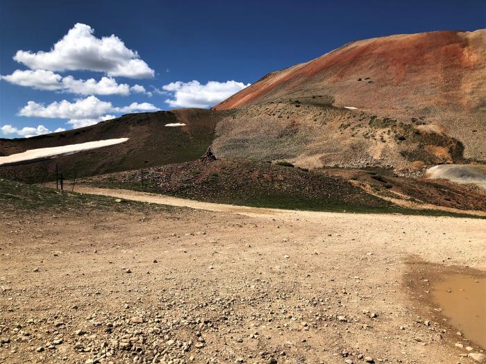
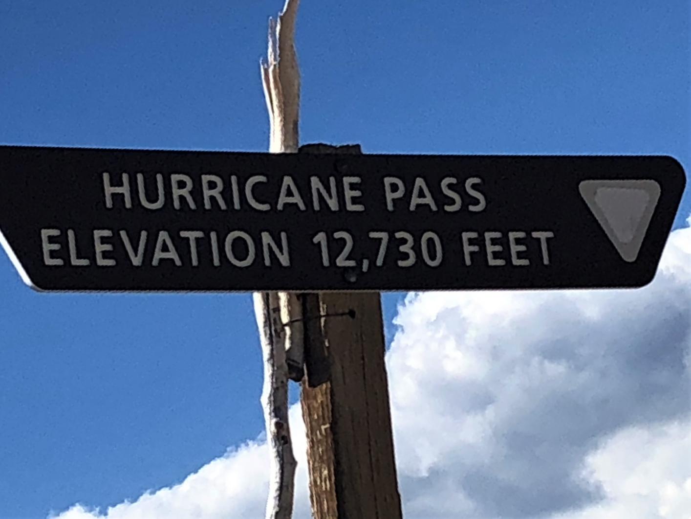
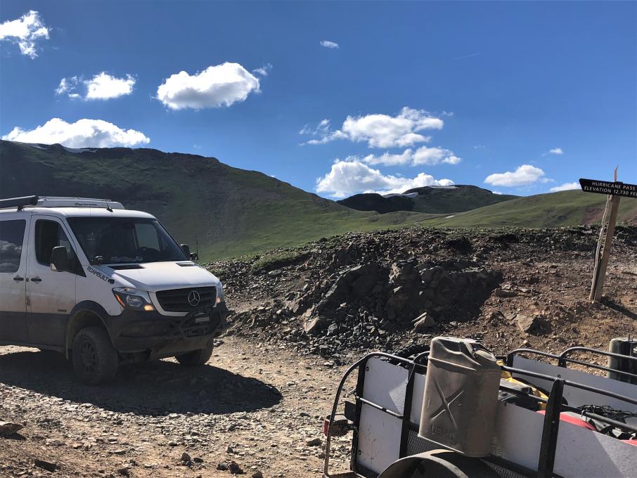
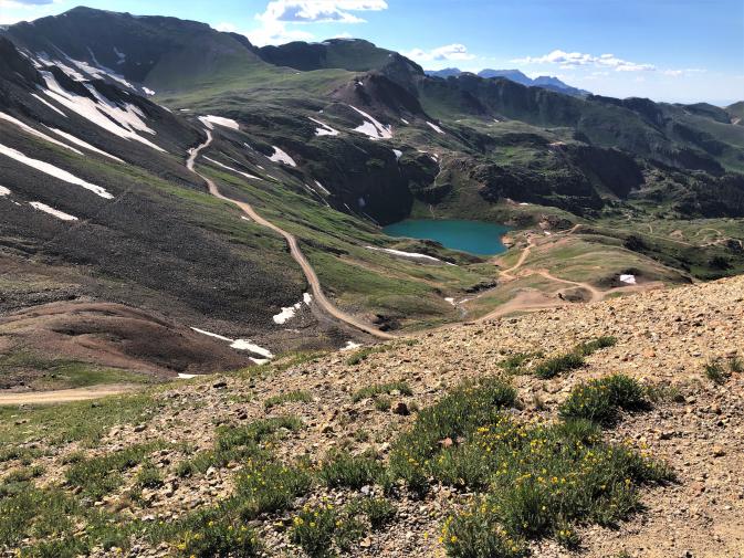
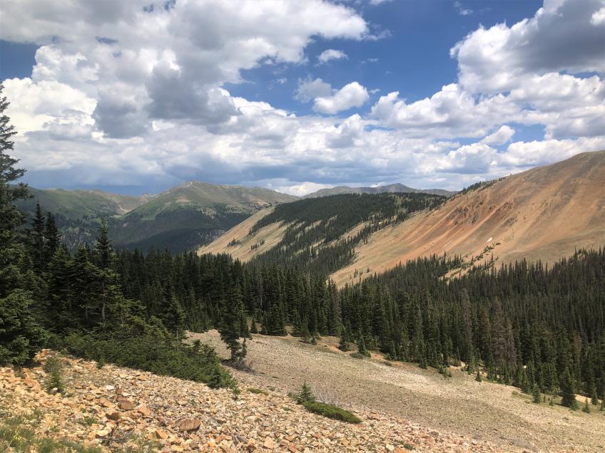
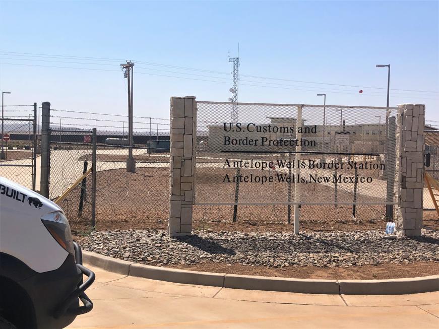
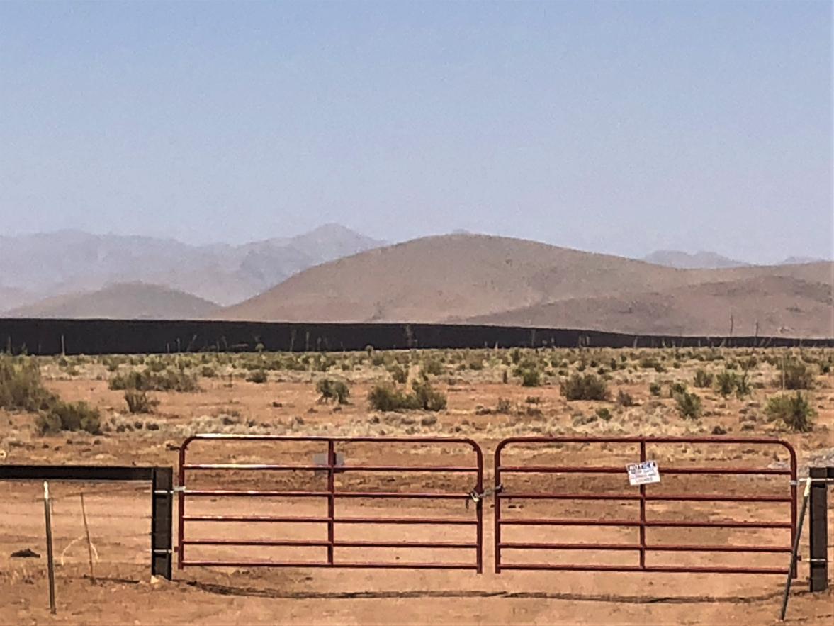
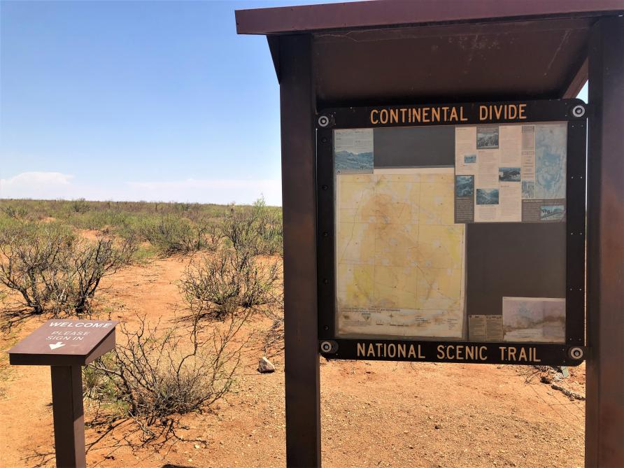
Today began the CDR in earnest. Drove west on I-10 past Deming. Headed south through Hatchita, between the Big Hatchet Mountains and the Little Hatchet Mountains, to the Border Crossing at Antelope Wells, which was closed. This is the “official start” of the CDR.
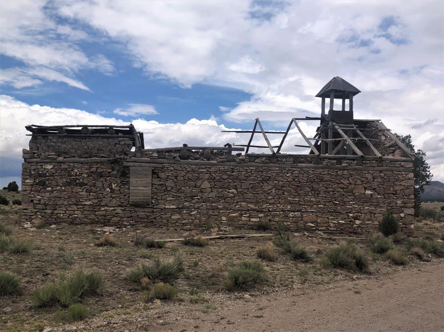
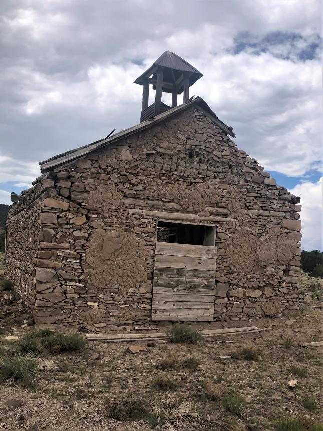
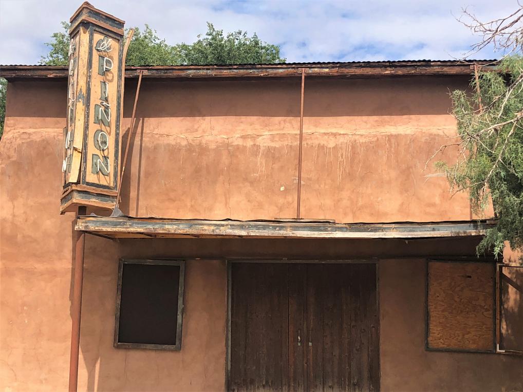
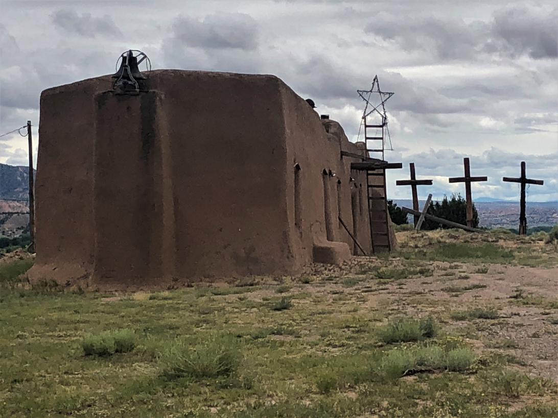
The current town of Hatchita is actually “New Hatchita” and was formed in the early 1900s when the railroad came through. The original settlement of Hatchita was a mining town several miles away, now known as “Old Hatchita.” It was abandoned and became a ghost town when silver prices plummeted in the 1920s. In the 1970s, a retired New York businessman came west and built a church, Saint Catherine of Sienna, out of the old high school building. The church remains but is now abandoned due to declining population.


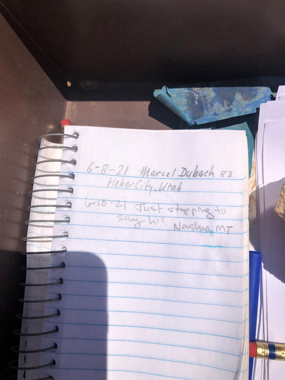
Just a few miles north of the border crossing is a sign-in book for CDT hikers. The last entry was 9 days earlier, on June 18, and the penultimate was 10 days before that, on June 8. By this time of year, it’s already getting too hot to start a northbound trek.
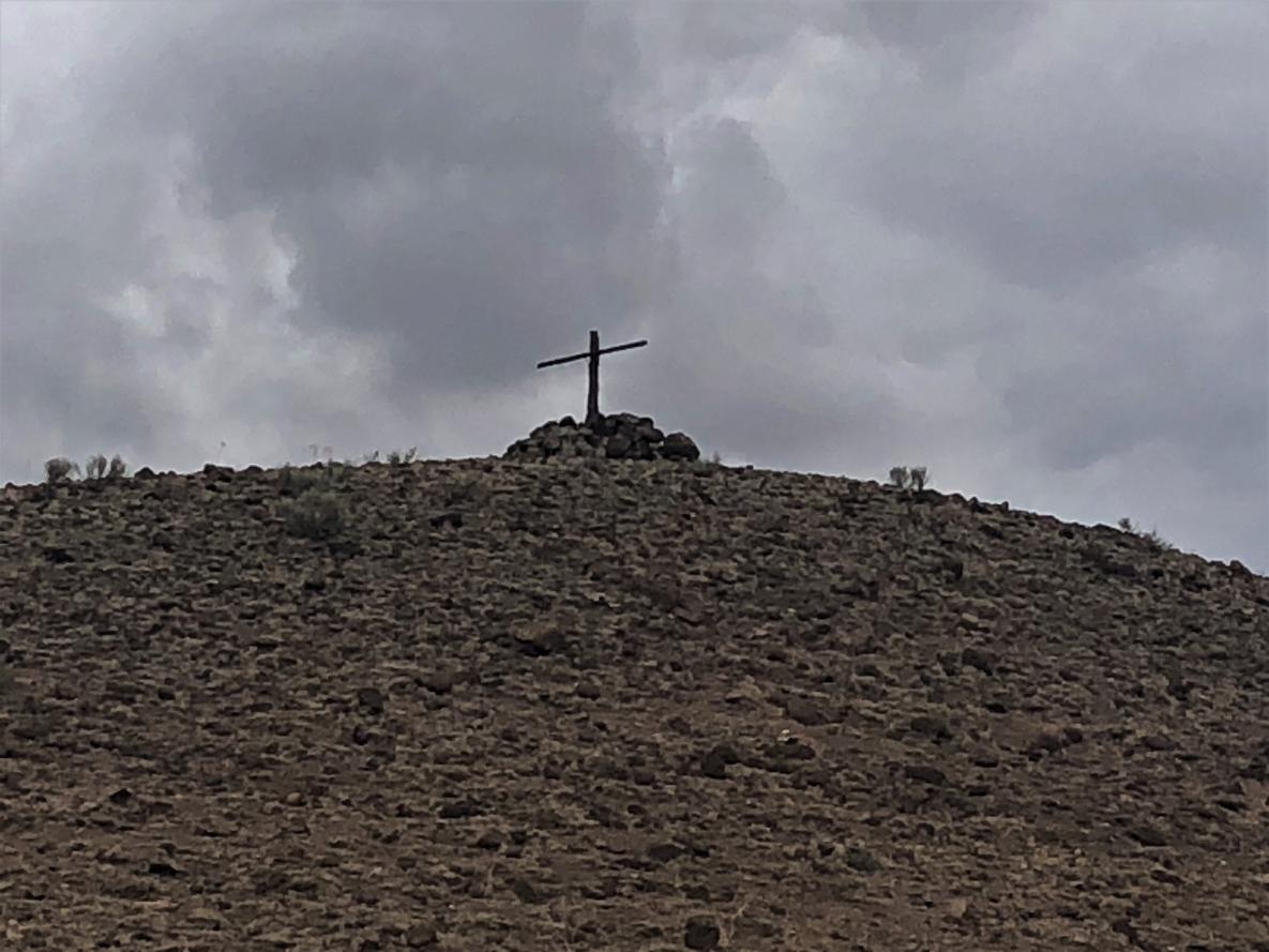
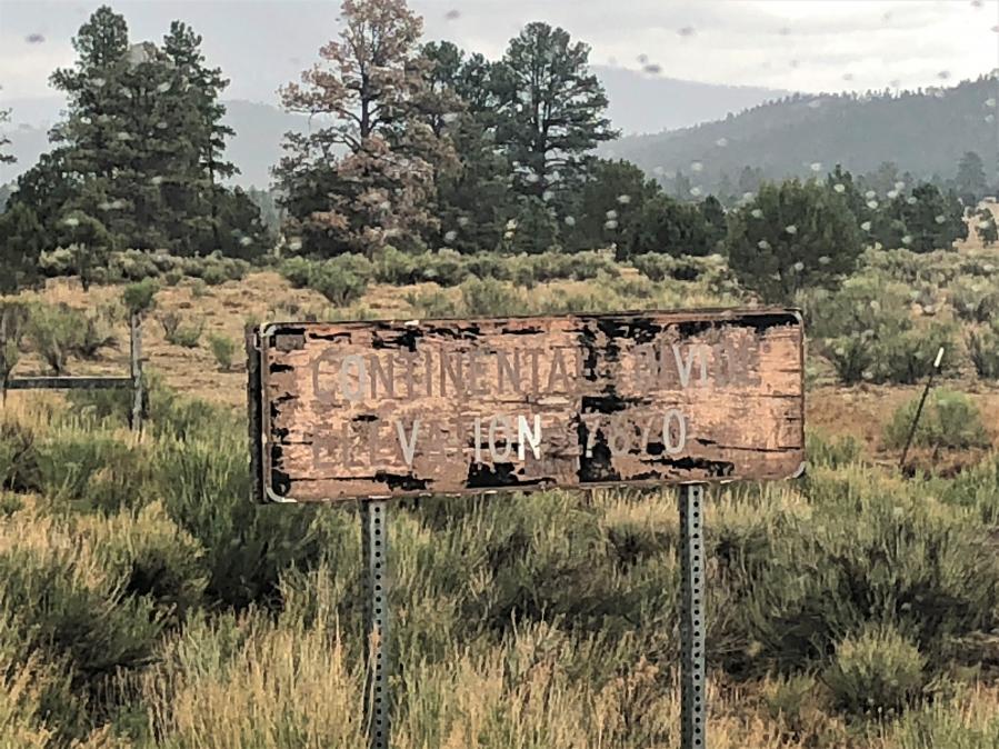
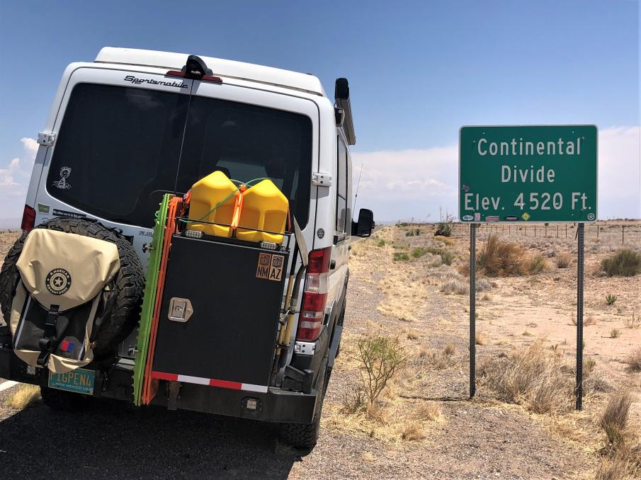
Between Antelope Wells and I-10 is the first Divide crossing, at only 4,520 feet elevation.
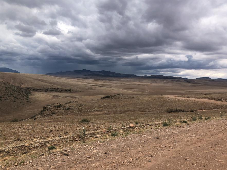
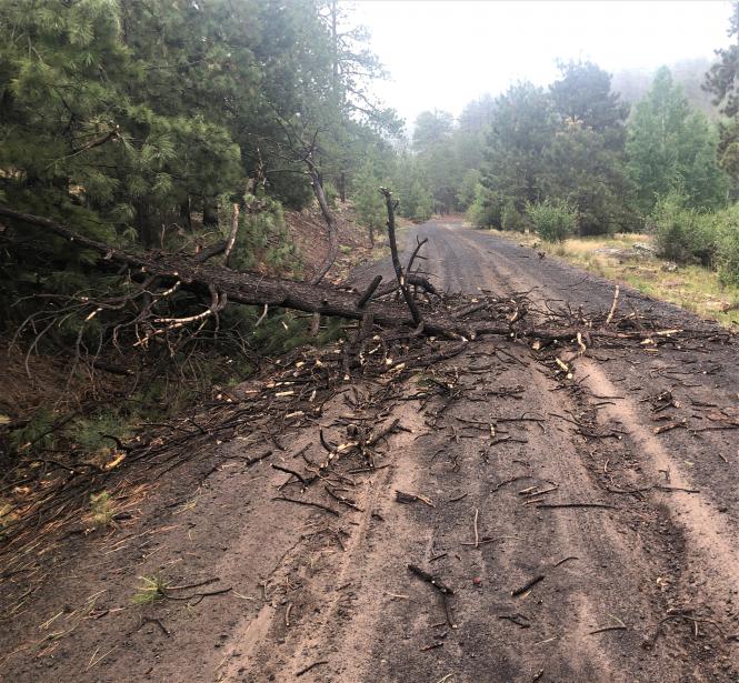
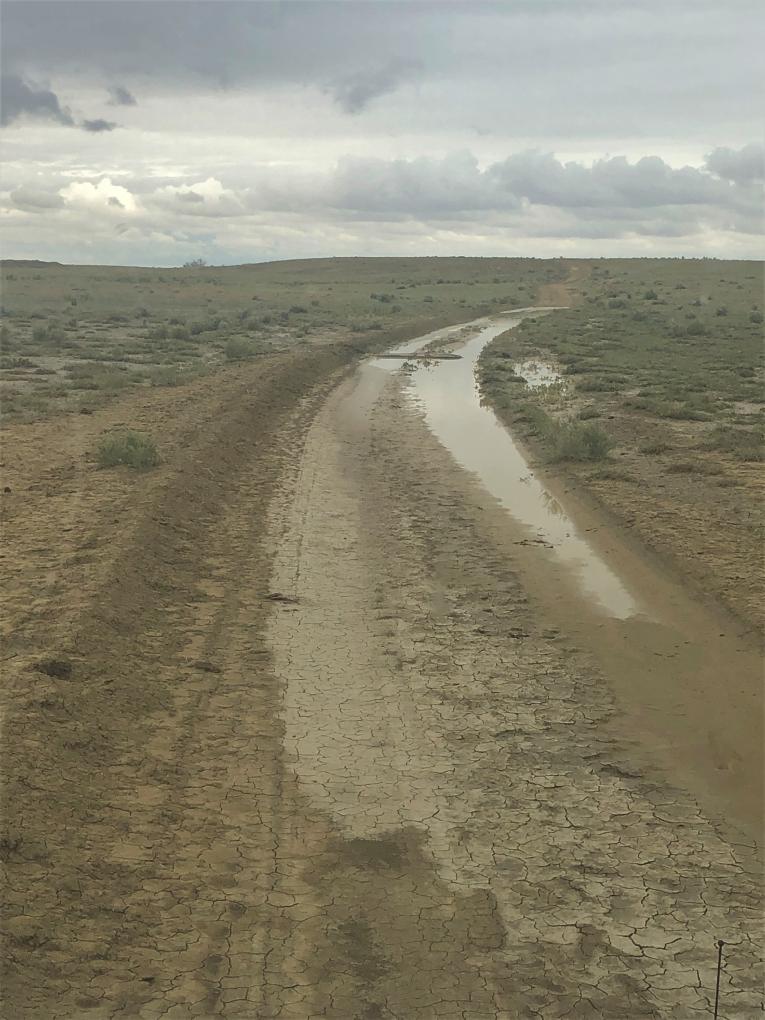
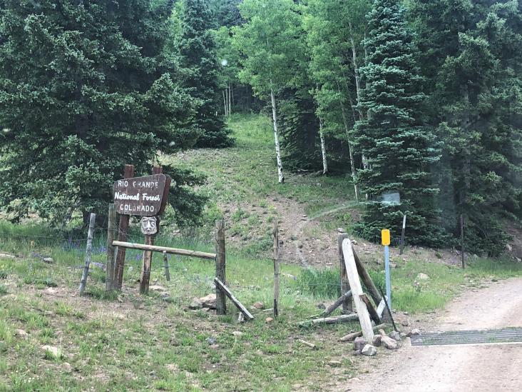
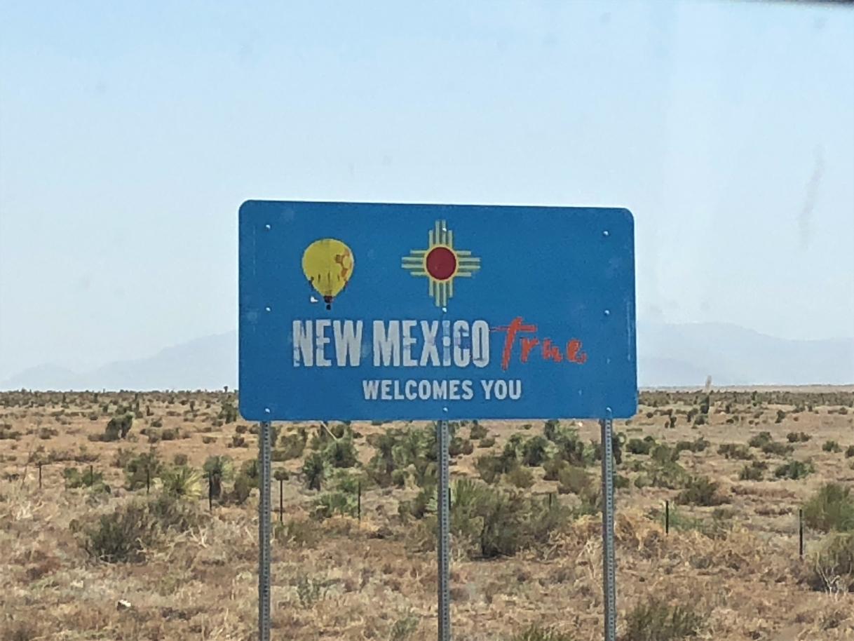
I retraced route back to I-10 and headed north towards Silver City on the first dirt roads of the trip. This section is pretty remote ranch roads until you get to NM 90 which takes you into Silver City. No sooner had I hit the pavement on NM 90, the skies opened up with a good New Mexico monsoon.
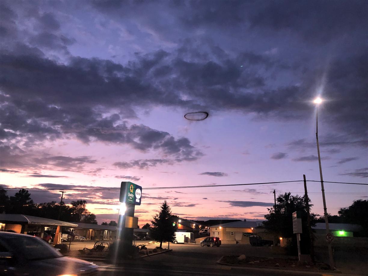
I stopped in Silver City at the Little Toad Creek Brewery to wait out the rain. The original plan was to continue past Silver and camp somewhere in the Gila National Forest. After a sandwich and a beer or three, the rain was still coming down. Ambition to drive around in the mud looking for a camp was gone, and I got a room at the historic Murray Hotel , just up the street from the brewpub. Two days in and two hotels, not an auspicious start!
Last May, I drove the Arizona Backcountry Discovery Route with three others, one Jeep and two motorcycles. Bill, Patrick, and John were great to travel with and we had an awesome trip. So, this year when they said they wanted to do the Colorado BDR, I was all in. Their schedules dictated that we do the trip the week beginning on July 5, and we would do the trip south to north.
Our family usually goes up to western Montana to visit my stepdaughter, fish, and generally laze about around the end of July, so I thought maybe I could combine a trip up the Continental Divide, the CO BDR, and our family vacation into a great adventure. My wife, stepson, and grandson could not do the whole trip due to other commitments, jobs, etc., so…
On June 26, I left home on epic journey (for me, anyway). I set off to drive the Continental Divide Route, primarily solo, with a detour to do the CO BDR. I would meet up with the family late in July in Missoula after completing the CDR and we would drive home together in early August. This was by far the longest trip of its kind I had ever attempted, let alone by myself.
Day 1 – Albuquerque, NM to Las Cruces, NM – 225 miles
The journey started with an uneventful drive down I-25 to Las Cruces, NM and a stay at what I assumed would be the last motel for a while. I picked up a dozen green chile cheese tamales at Roberto's and put them in the fridge for later. Had a grilled cheese and a couple beers at Picacho Peak Brewery, and called it a night.
Day 2 – Las Cruces to Silver City – 275 miles
Today began the CDR in earnest. Drove west on I-10 past Deming. Headed south through Hatchita, between the Big Hatchet Mountains and the Little Hatchet Mountains, to the Border Crossing at Antelope Wells, which was closed. This is the “official start” of the CDR.
The current town of Hatchita is actually “New Hatchita” and was formed in the early 1900s when the railroad came through. The original settlement of Hatchita was a mining town several miles away, now known as “Old Hatchita.” It was abandoned and became a ghost town when silver prices plummeted in the 1920s. In the 1970s, a retired New York businessman came west and built a church, Saint Catherine of Sienna, out of the old high school building. The church remains but is now abandoned due to declining population.
Just a few miles north of the border crossing is a sign-in book for CDT hikers. The last entry was 9 days earlier, on June 18, and the penultimate was 10 days before that, on June 8. By this time of year, it’s already getting too hot to start a northbound trek.
Between Antelope Wells and I-10 is the first Divide crossing, at only 4,520 feet elevation.
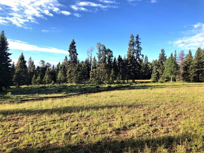
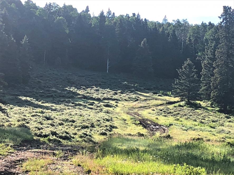
I retraced route back to I-10 and headed north towards Silver City on the first dirt roads of the trip. This section is pretty remote ranch roads until you get to NM 90 which takes you into Silver City. No sooner had I hit the pavement on NM 90, the skies opened up with a good New Mexico monsoon.
I stopped in Silver City at the Little Toad Creek Brewery to wait out the rain. The original plan was to continue past Silver and camp somewhere in the Gila National Forest. After a sandwich and a beer or three, the rain was still coming down. Ambition to drive around in the mud looking for a camp was gone, and I got a room at the historic Murray Hotel , just up the street from the brewpub. Two days in and two hotels, not an auspicious start!