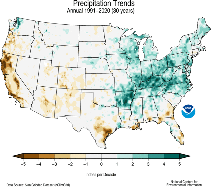
We've had a couple of dry years here in Grand Junction but that's of course just one data point.

But the drought is pervasive in the Colorado River basin. This year has seen about 3 million acre-feet inflow, which is 18% of the Compact assumption (16.5 million total including 1.5 million allocation promised to Mexico) and probably about 25% of the realistic annual average (about 12 million).
Yet usage remains constant so we're drawing down the bank. At least one of our water companies here have been taking their Colorado River allotments this year for the first time in 40 or 50 years because our reservoirs didn't fill much this year. Most of our water comes from a different source. We expect senior rights holders to want their Colorado allotments so it's anyone's guess how long we can take them.

Lake Mead stands at 1,068.55 feet above sea level as of July 5, 2021. That puts it at about 35% of full pool and 151 feet below max elevation of 1,219 feet.

The Compact restrictions and triggers.
- Light shortage. When the surface elevation at Lake Mead is below 1,075 feet relative to mean sea level but above 1,050 feet, the Lower Basin states will receive 7,167,000 acre-feet per year: 4,400,000 acre-feet to California, 2,480,000 acre-feet to Arizona, and 287,000 acre-feet to Nevada.
- Heavy shortage. When the surface elevation of Lake Mead is below 1,050 feet but above 1,025 feet, 7,083,000 acre-feet per year will be delivered to the Lower Basin states: 4,400,000 acre-feet to California, 2,400,000 acre-feet to Arizona, and 283,000 acre-feet to Nevada.
- Extreme shortage. The most severe shortage considered in the interim guidelines is when the level of Lake Mead drops below 1,025 feet, in which event 7,000,000 acre-feet per year will be delivered to the Lower Basin states: 4,400,000 acre-feet to California, 2,320,000 acre-feet to Arizona, and 280,000 acre-feet to Nevada.


