viter
Adventurer
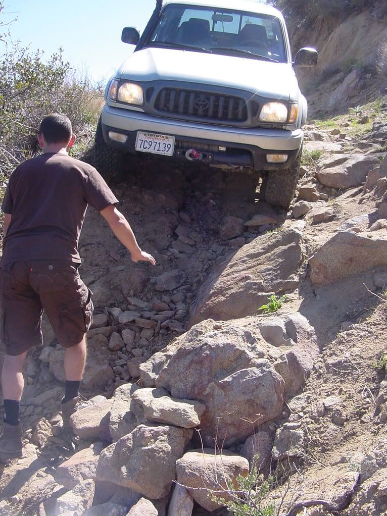
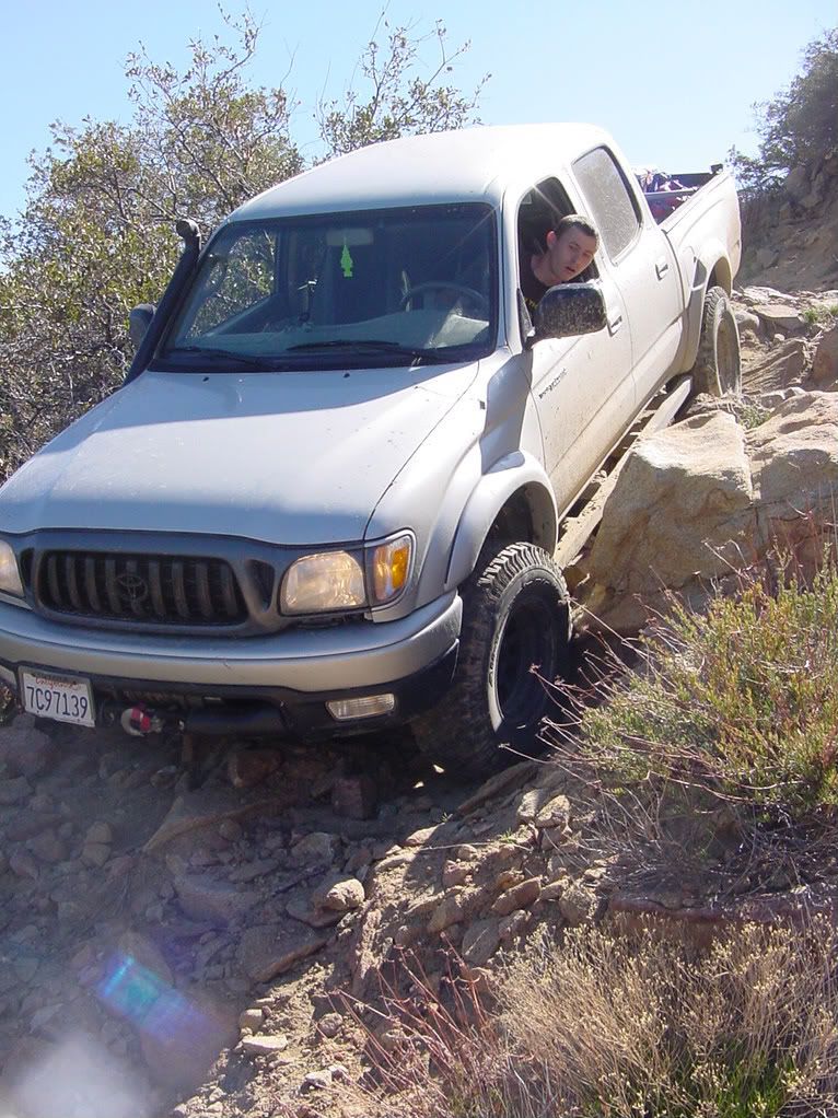
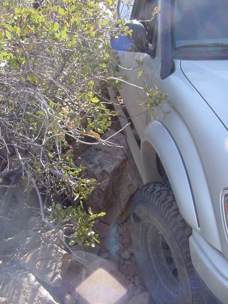
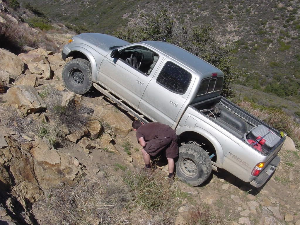
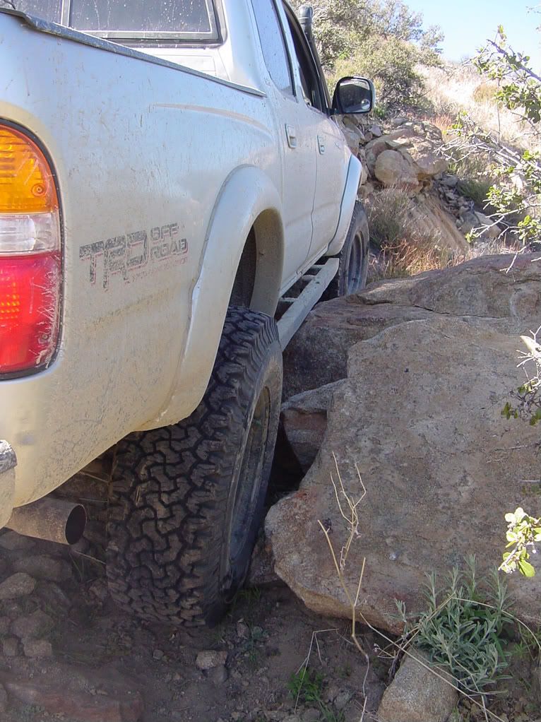
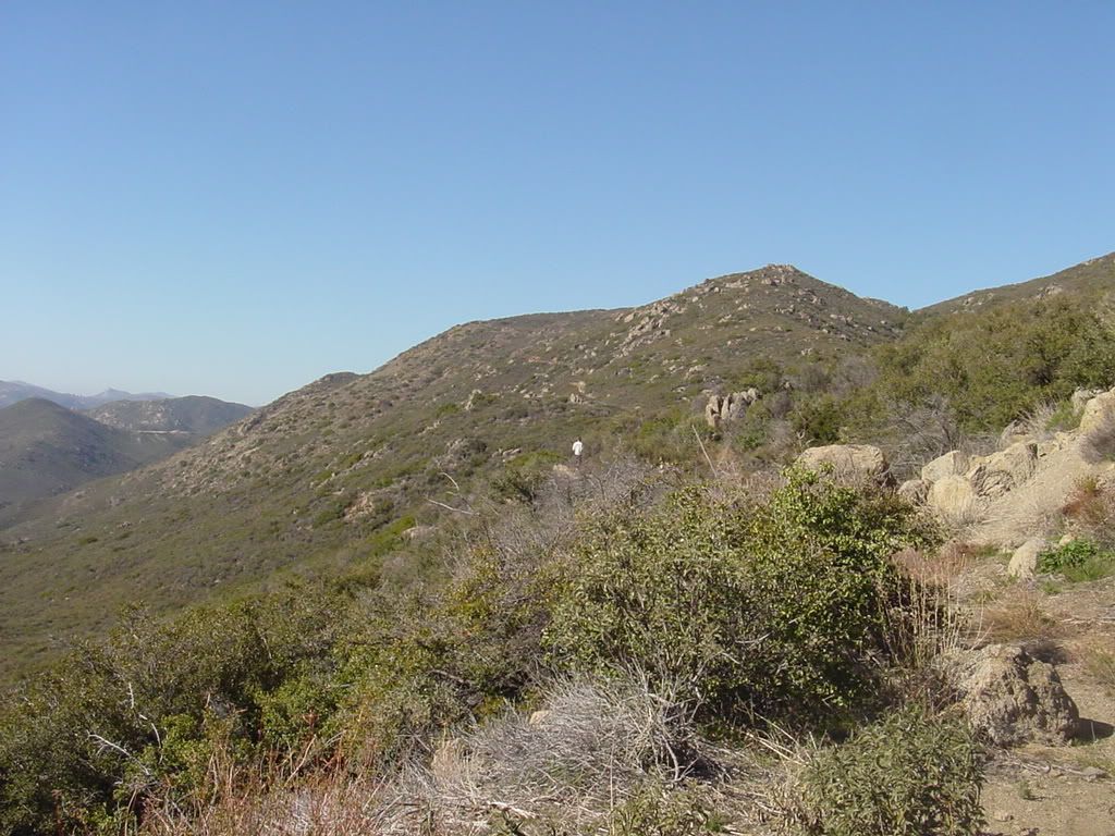
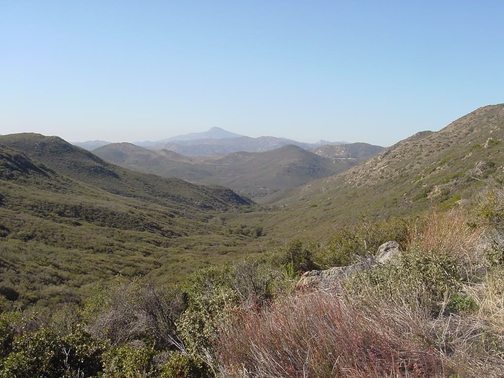
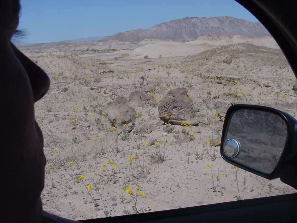
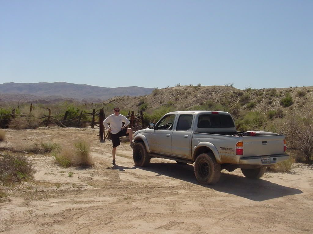
last weekend my friends and I were running a checkpoint at a dirtbike race out by plaster city area - that in itself was a lot of fun, but afterwards one of my friends and I left in my truck to do a little exploring first in the anza borrego desert and then up in the mountains on the way back to San Diego. The other point of going to the mountains was to test out my newly built sliders.
lava rocks
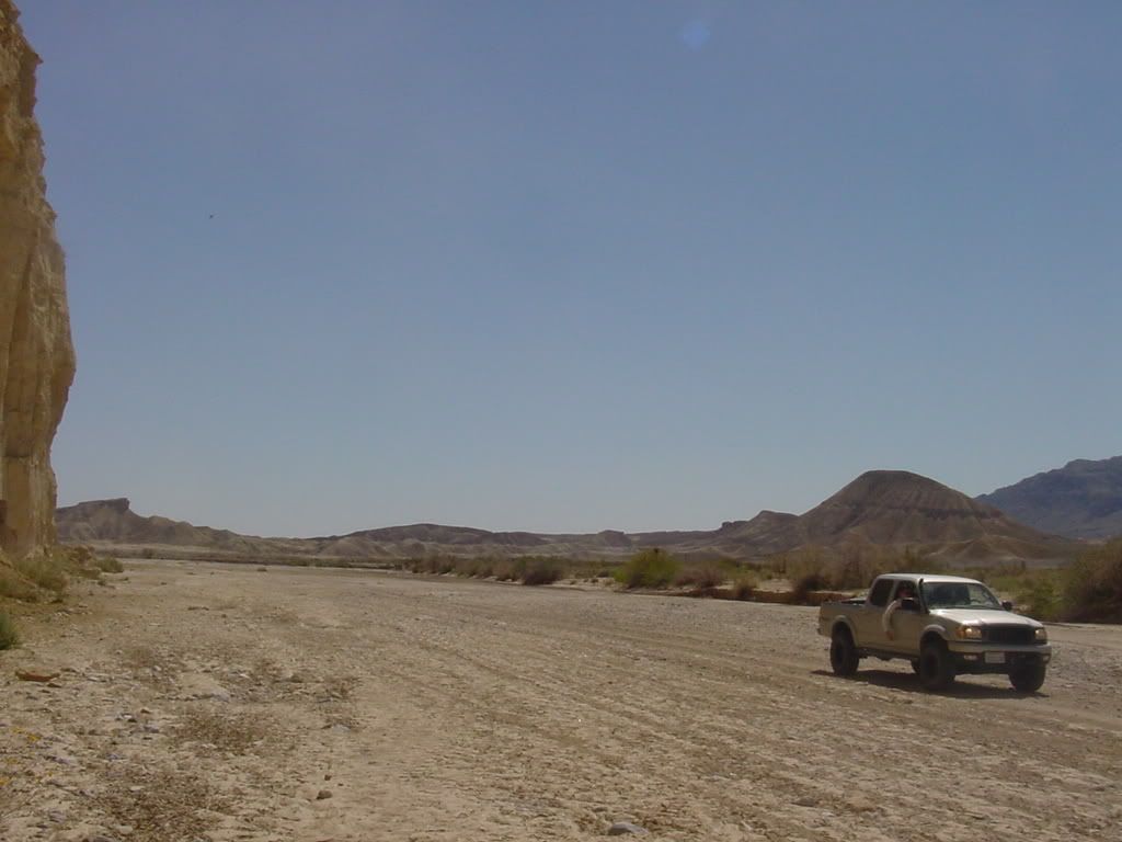
carrizo wash east of the "creek" section
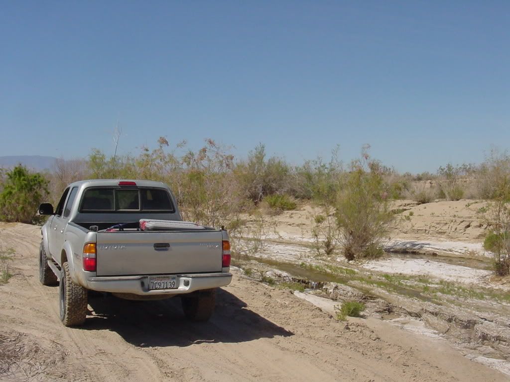
some salty water running throught the creek at carrizo wash
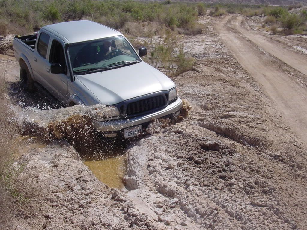
creek puddle diving - after getting a little lost this was the only way to the "dry land"
remains of the old stage coach station were people used to change horses centuries ago on their way west
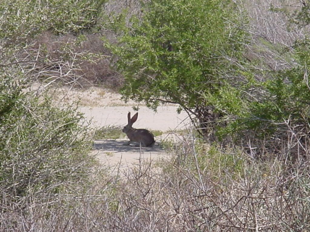
wabbit or whatever you call it
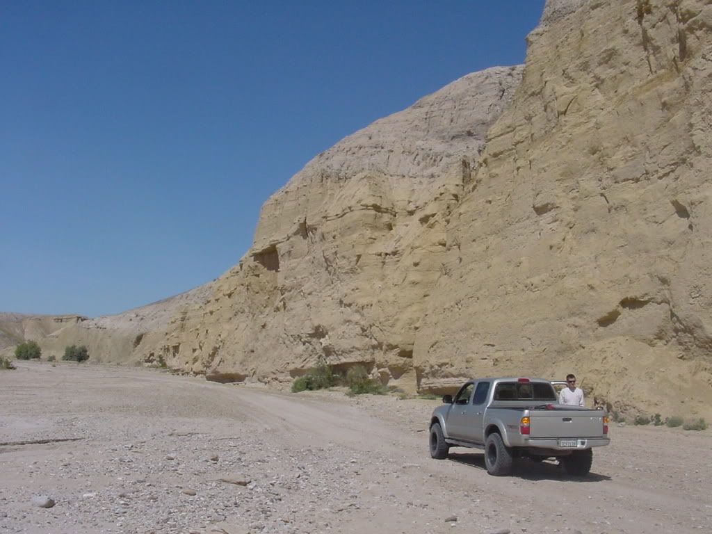
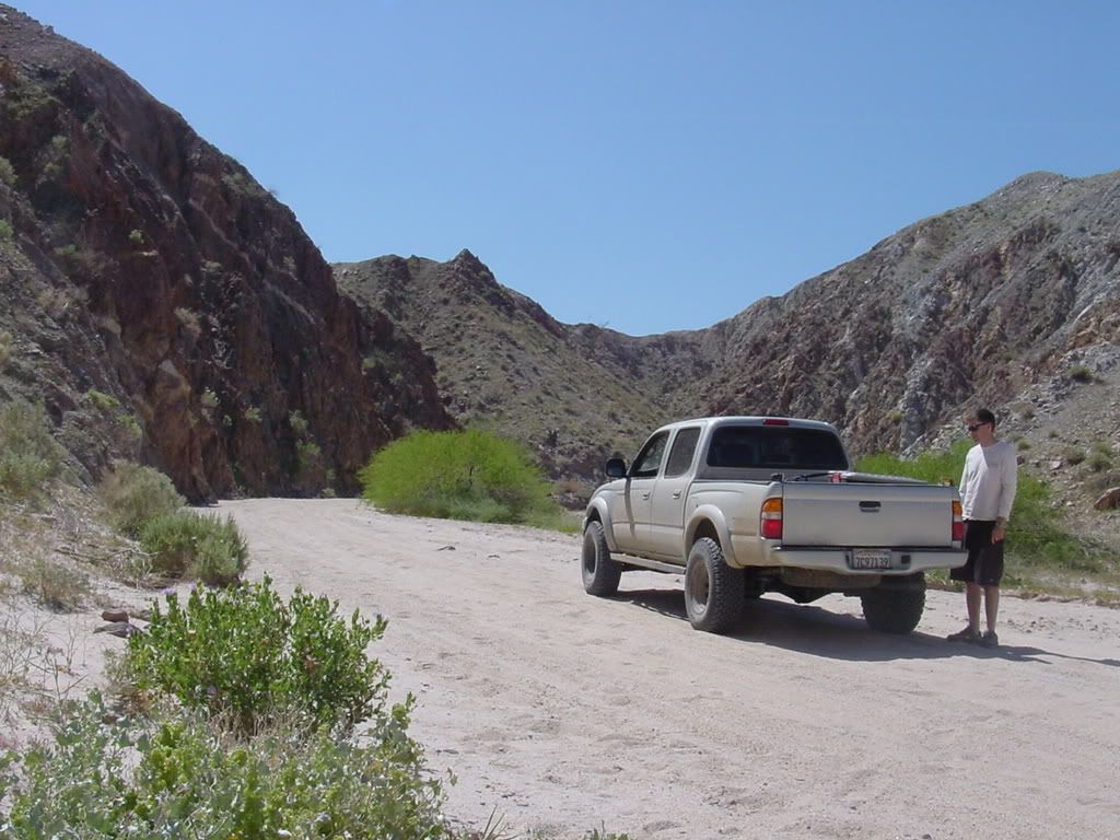
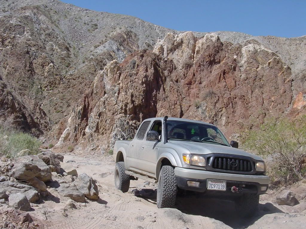
canyon sin nombre
lava rocks
carrizo wash east of the "creek" section
some salty water running throught the creek at carrizo wash
creek puddle diving - after getting a little lost this was the only way to the "dry land"
remains of the old stage coach station were people used to change horses centuries ago on their way west
wabbit or whatever you call it
canyon sin nombre