ExploreDesert: El Paso Mountains & Mining District

1MK

ExploreDesert
I can't believe it's been over two years since the last trip report. A lot has happened in that time - moving, career change and all the various life obstacles. The biggest one for the adventure/vehicle side of things was selling the Tacoma, out of a need of necessity and a different focus going forward. Unfortunately that left us without a nicely setup and nearly dedicated exploring rig and the new truck wasn't bought as it's "replacement".

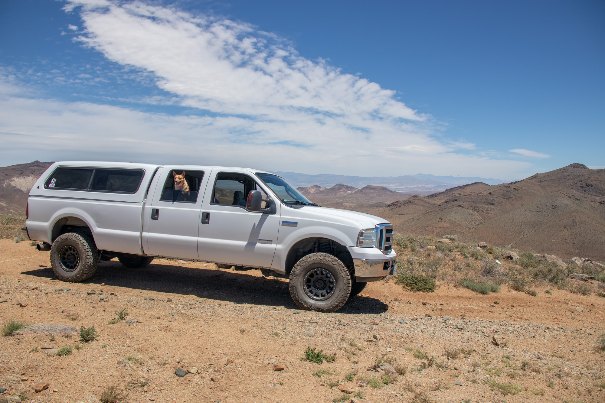
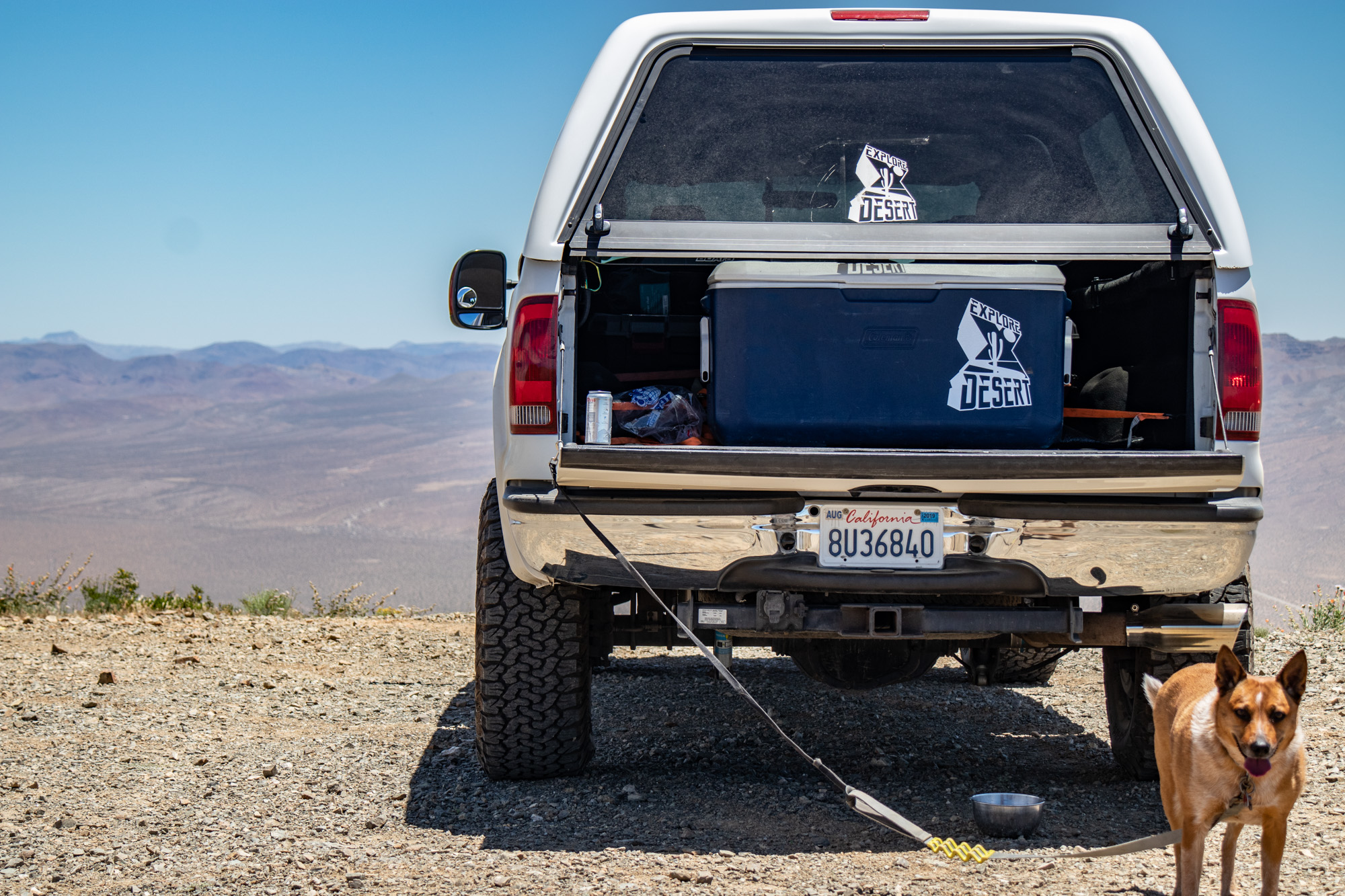
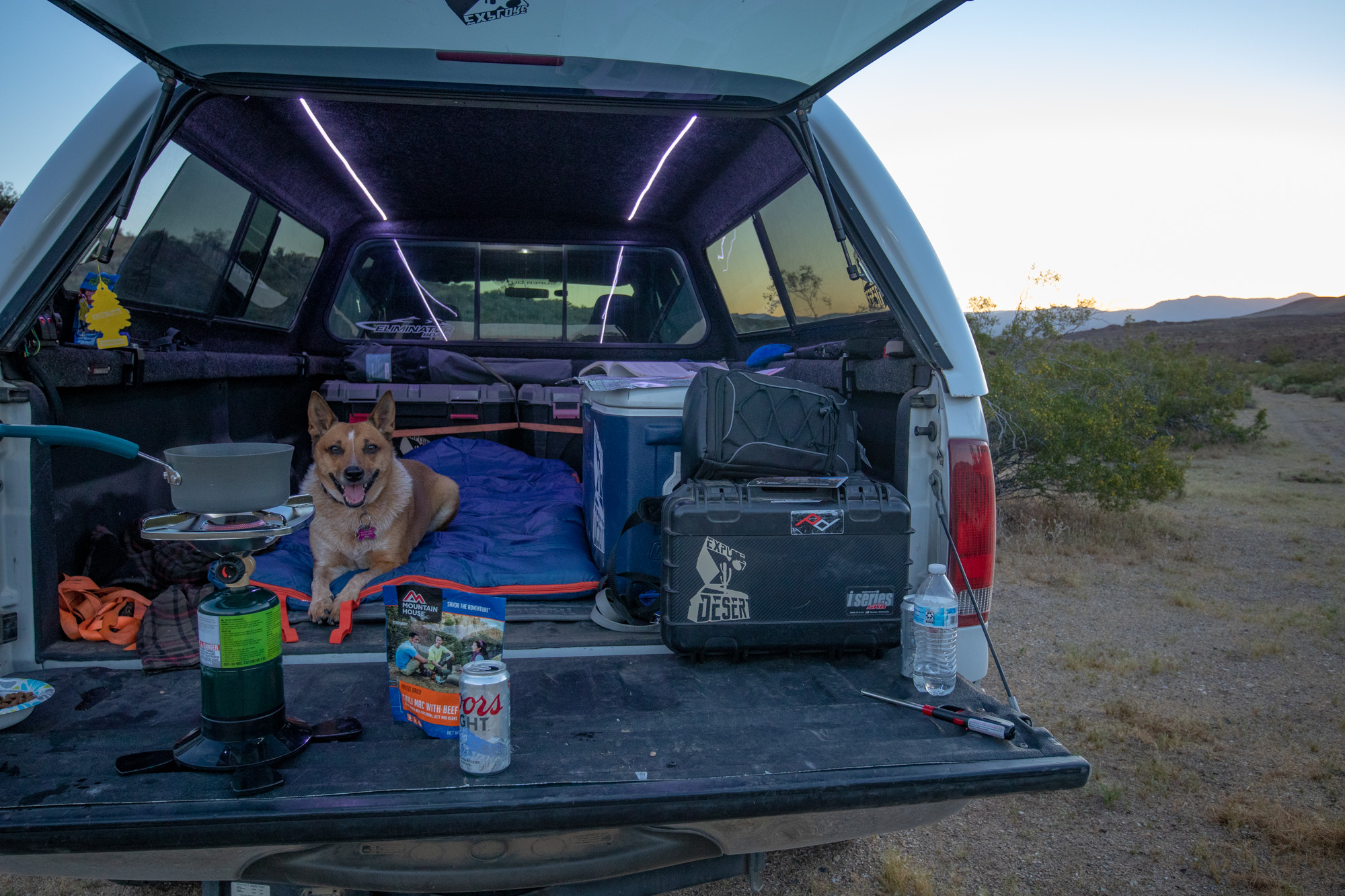
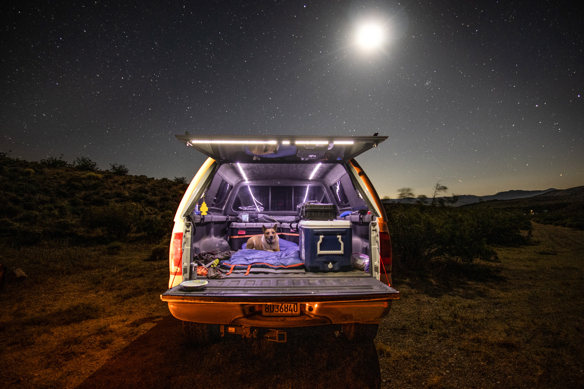
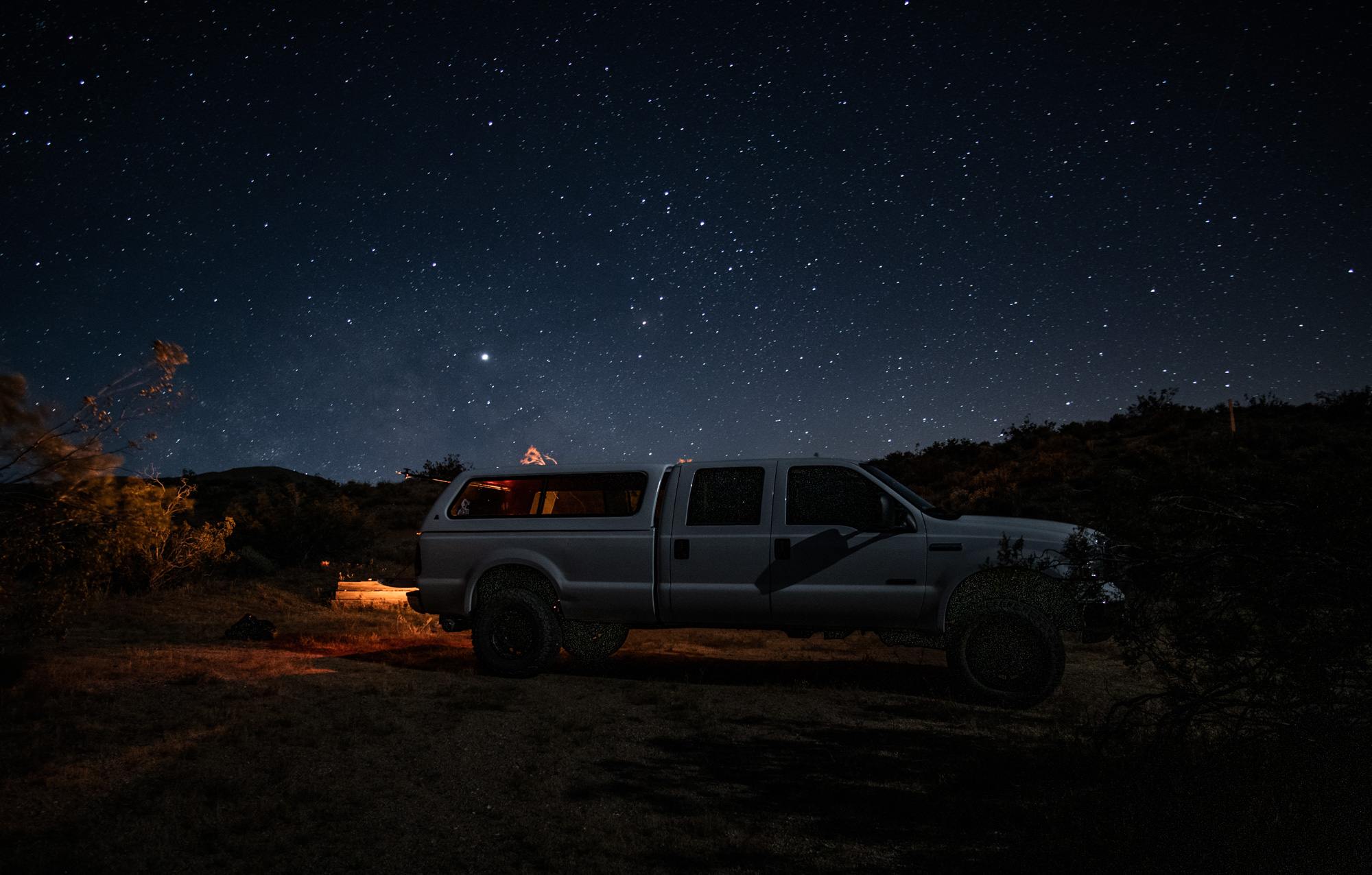
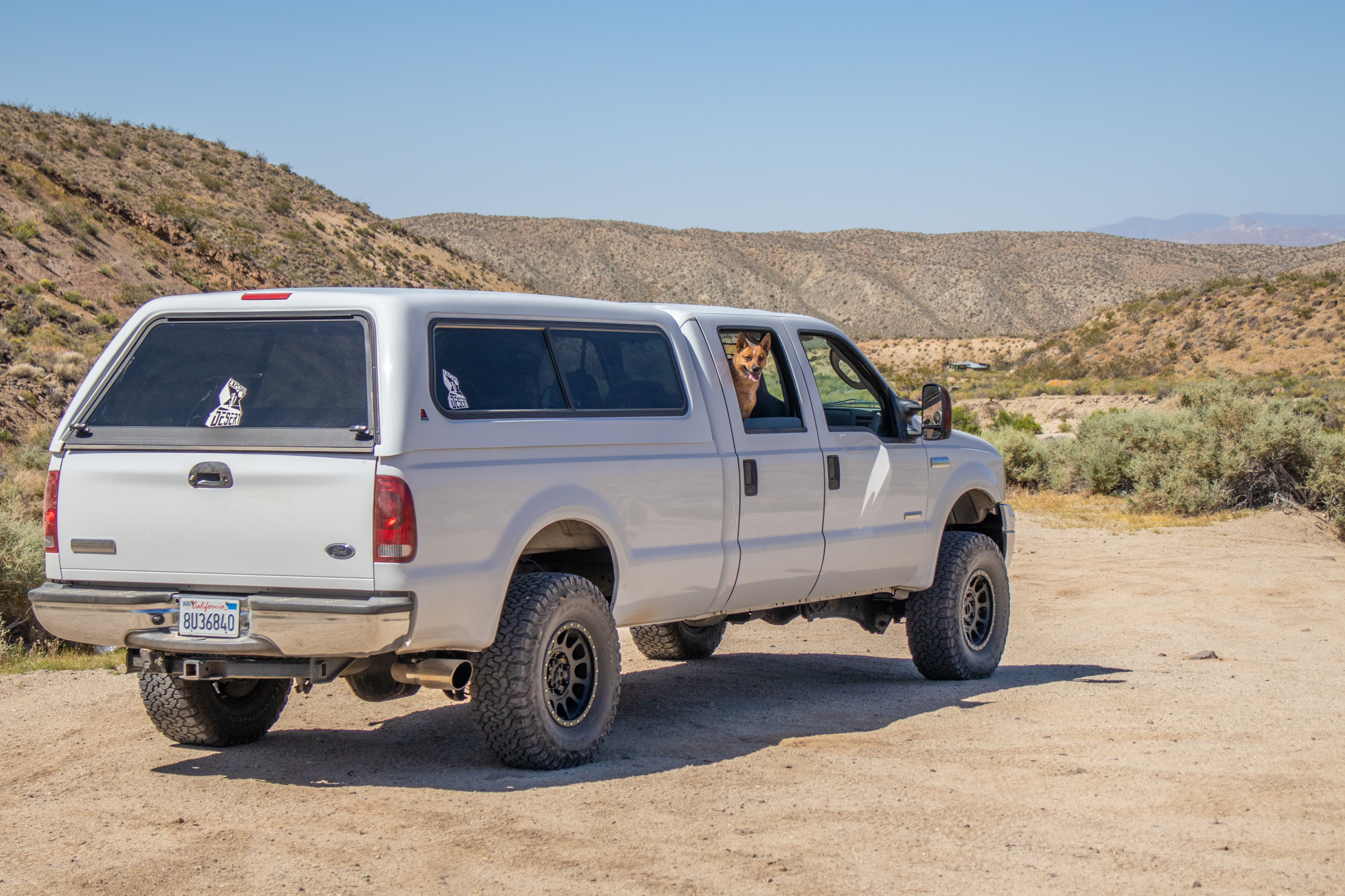
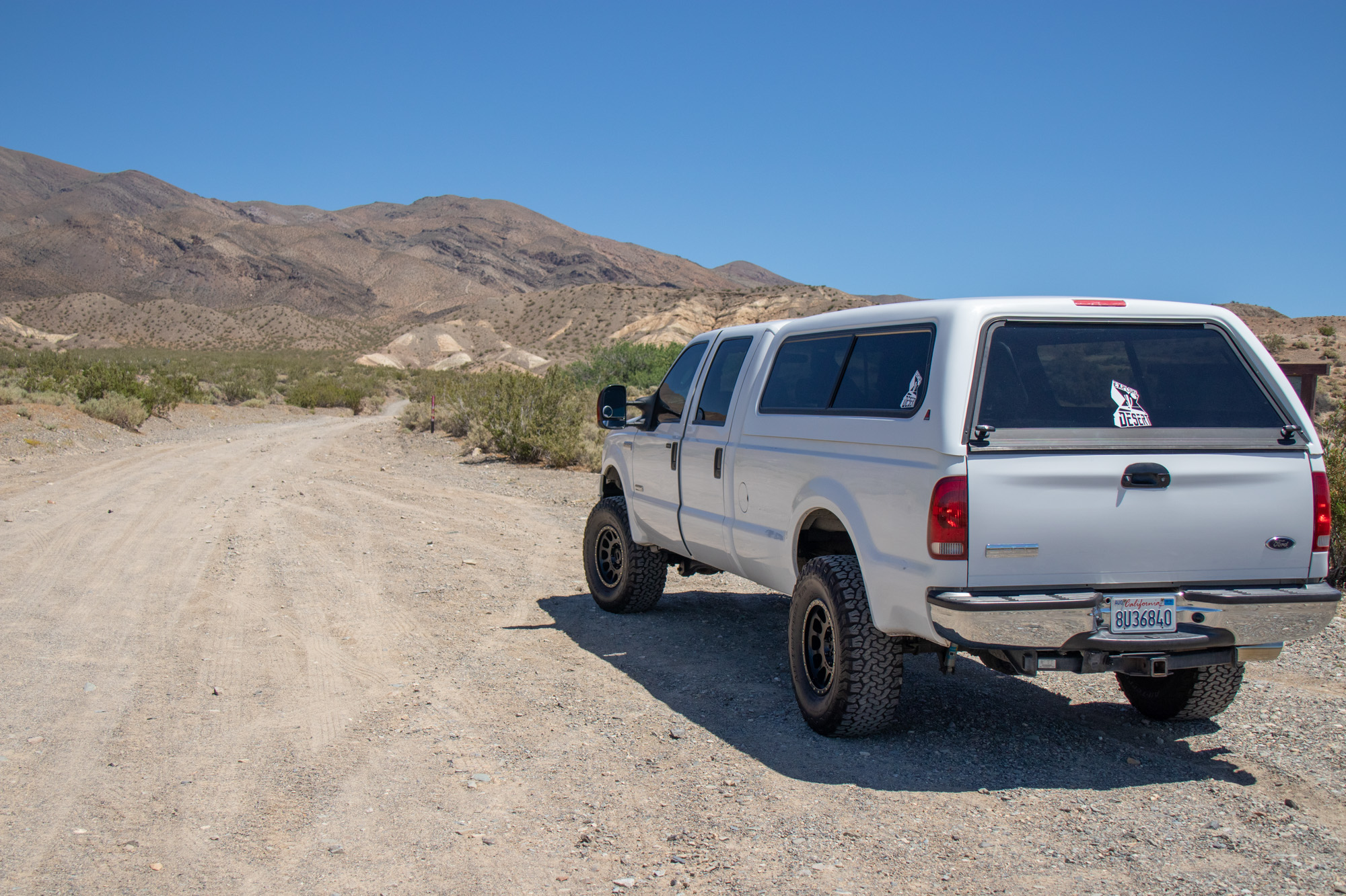
I knew that with the big ol' Ford F-350 many of the trails and places would no longer be easily accessible, but it didn't mean it was all now off-limits. Just have to go about things a bit different. With that in mind, found a decent deal on a camper shell and decided to go back to the roots. Simpler times. No RTT, no radical suspension setup, no drawer system or refrigerator. Shell, sleeping bag, ice chest, tools & basic supplies. Make Camping Simple Again.

20190606_193912.jpg


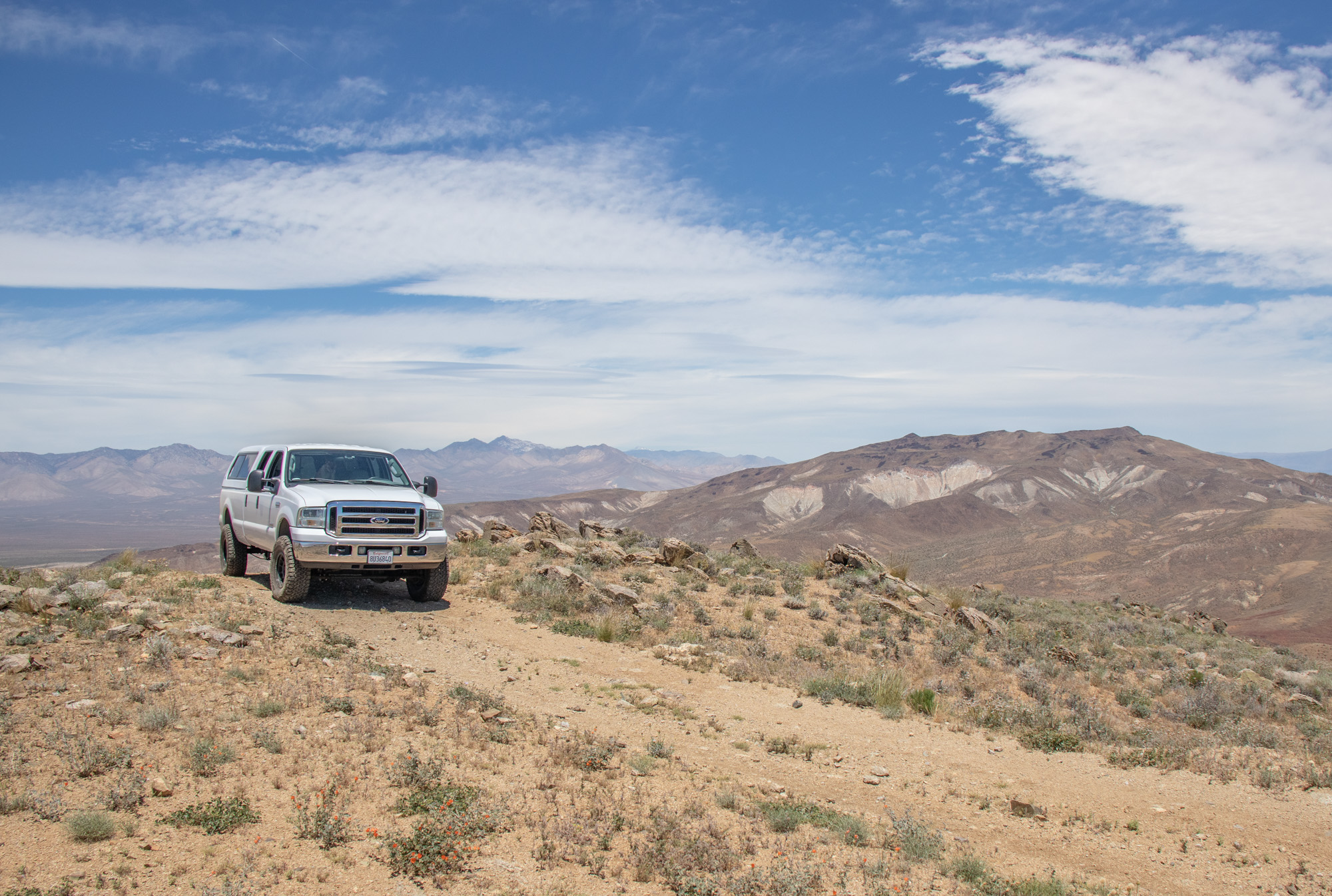
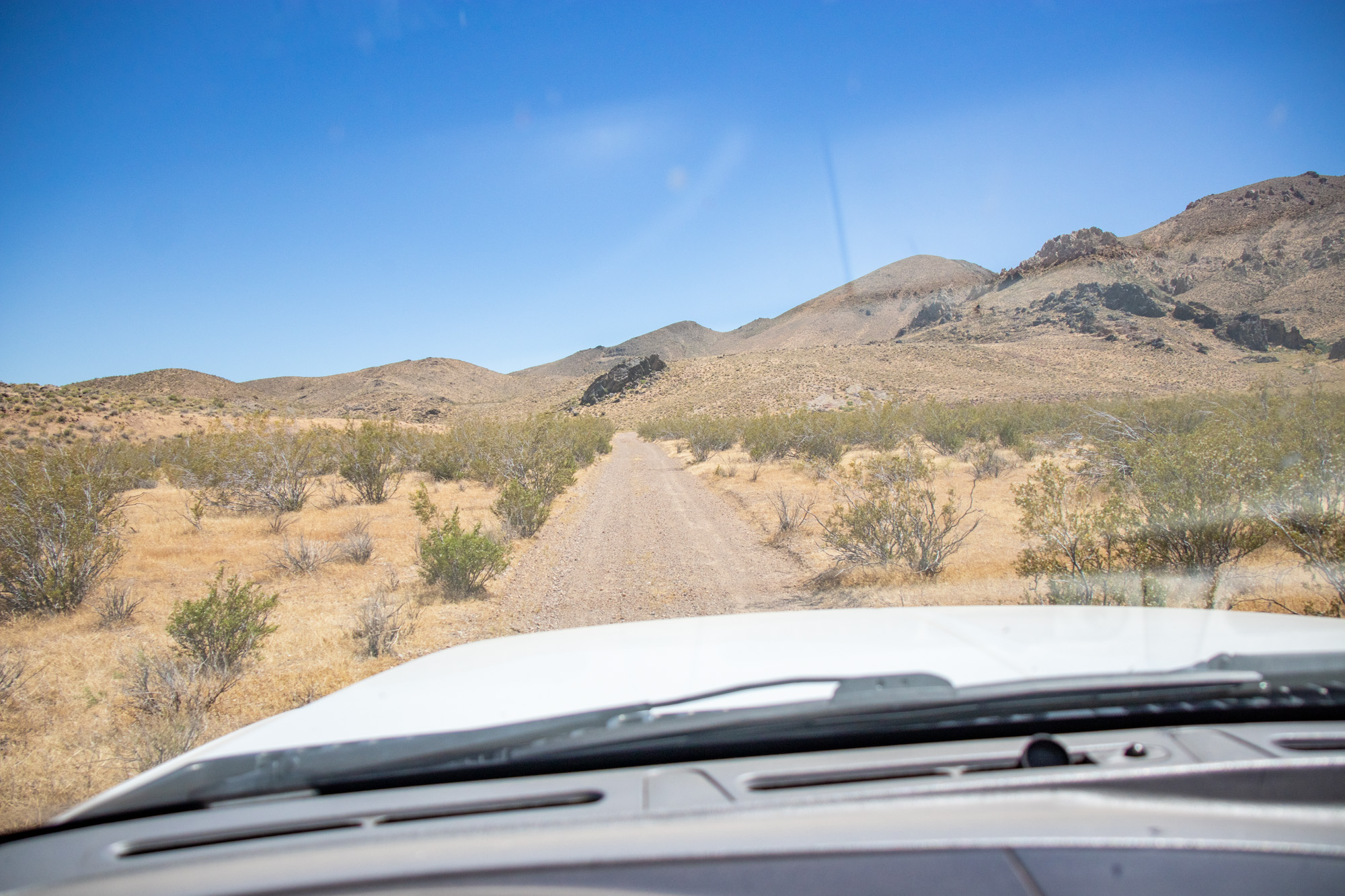
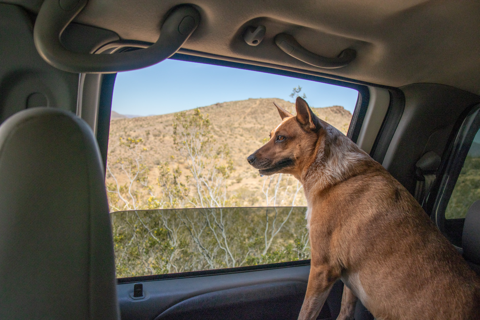
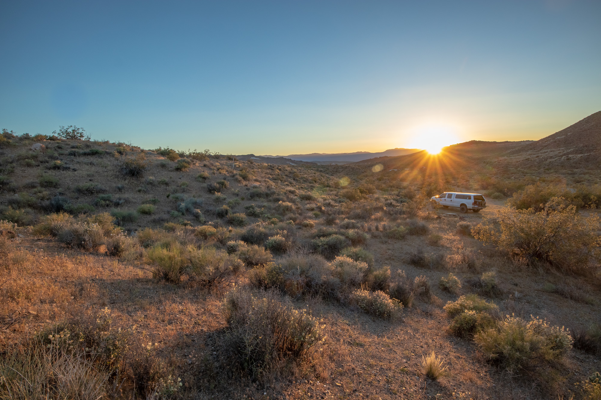
With the basics in place and a area I had planned to explore with the Tacoma but never got the chance to, I set off to the El Paso Mountain range in the SuperDuty.

20190607_105438.jpg

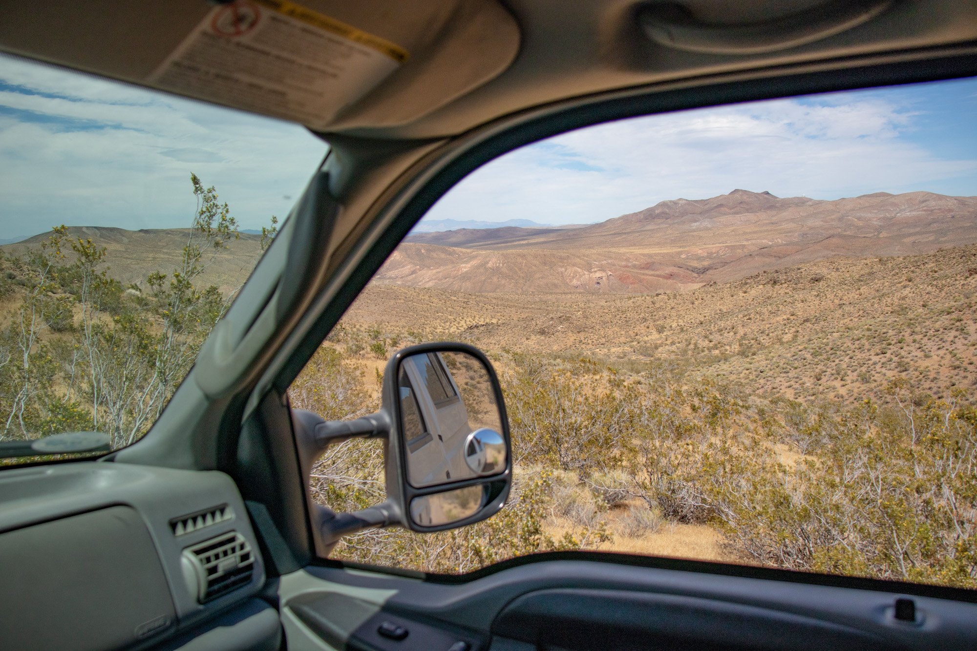
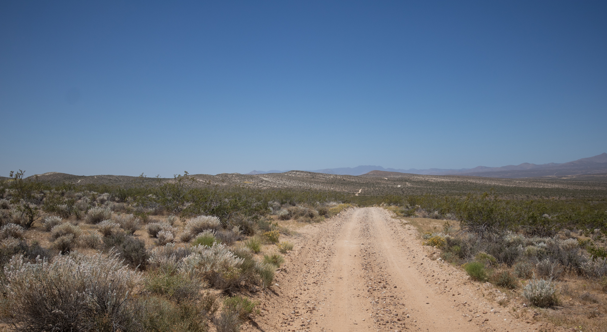
The El Paso Mountain Range Straight Ahead


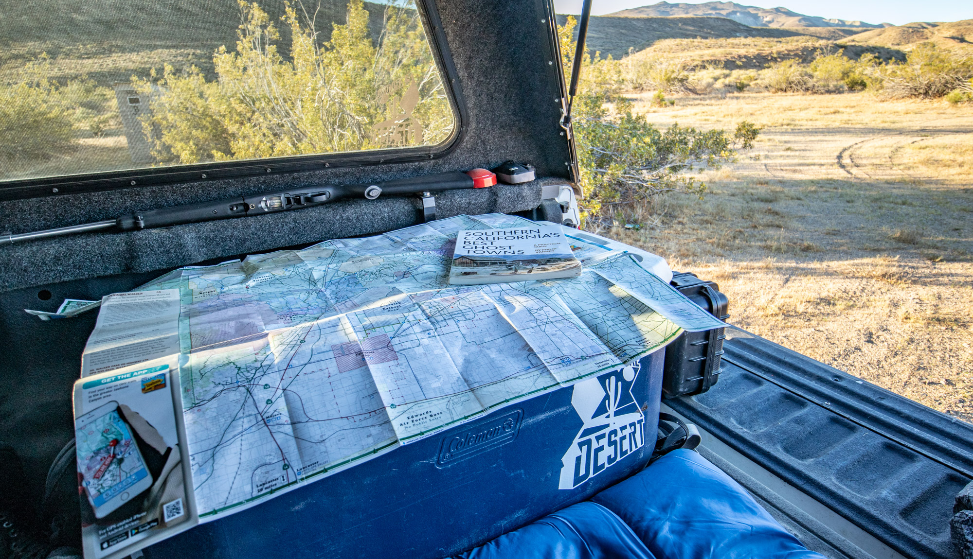
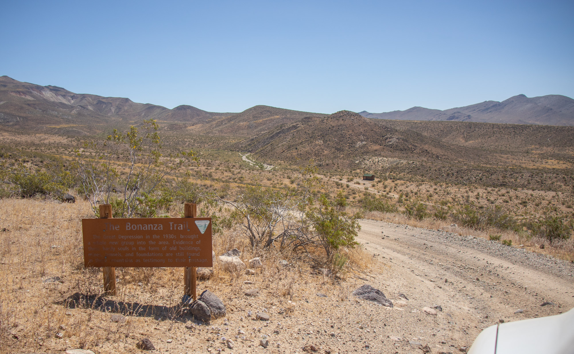
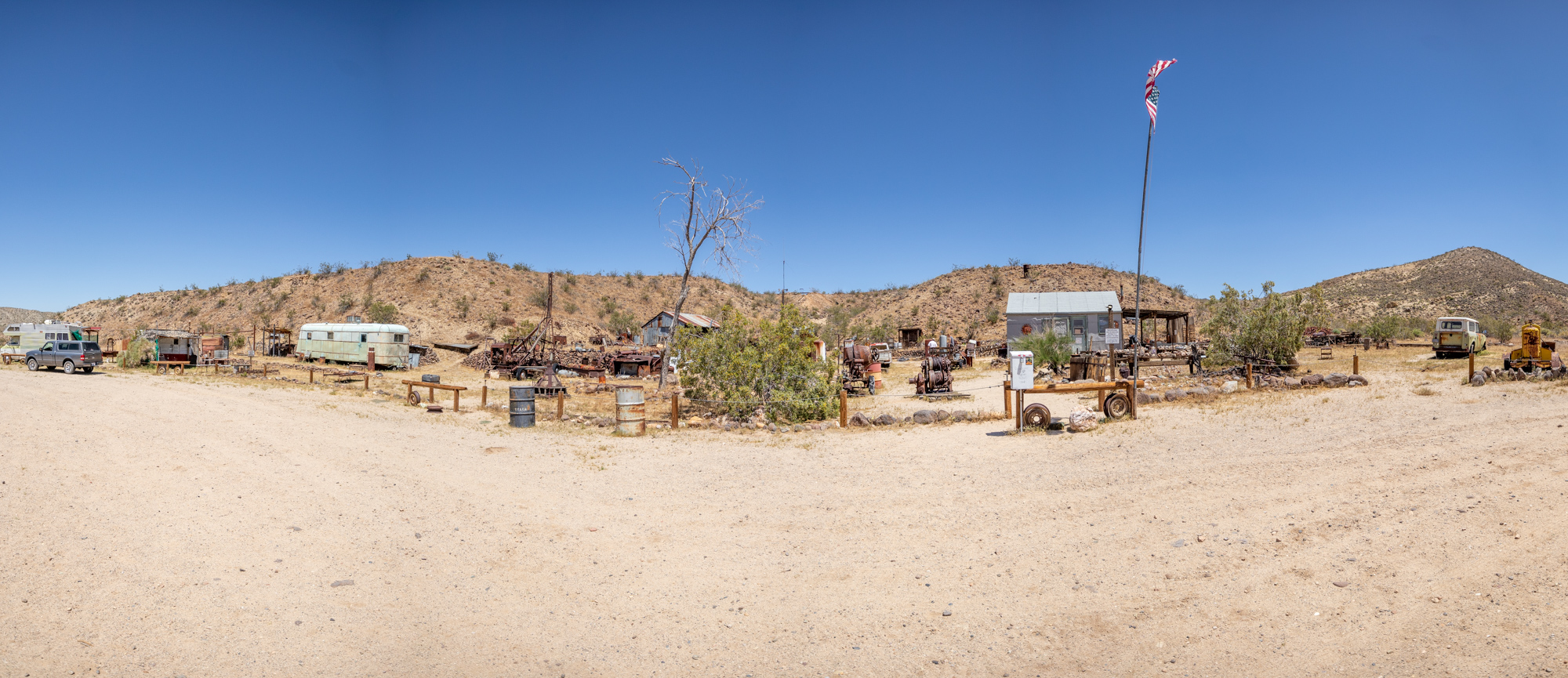
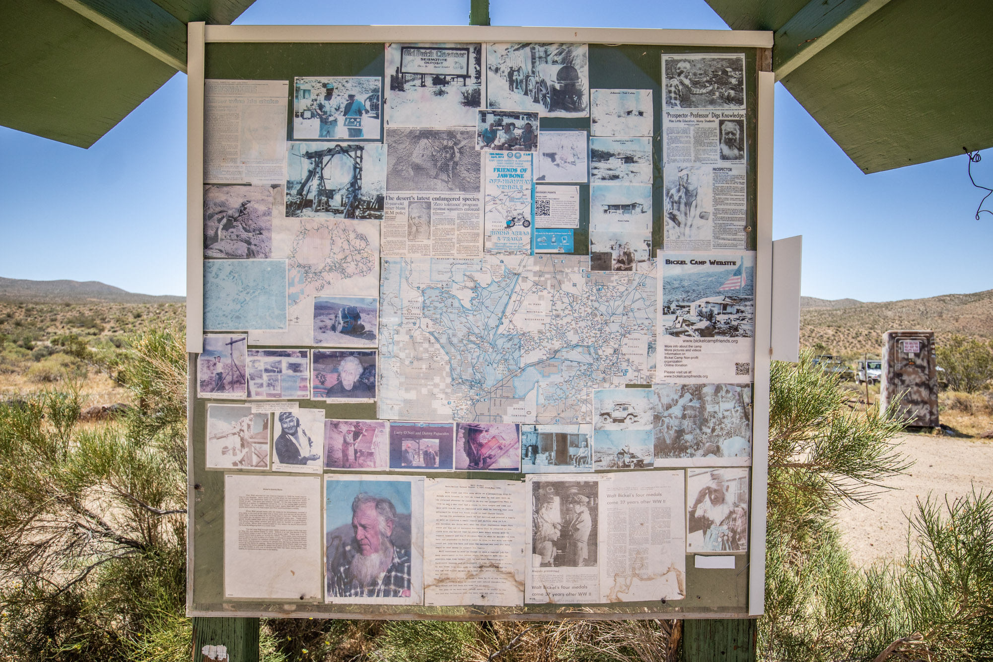
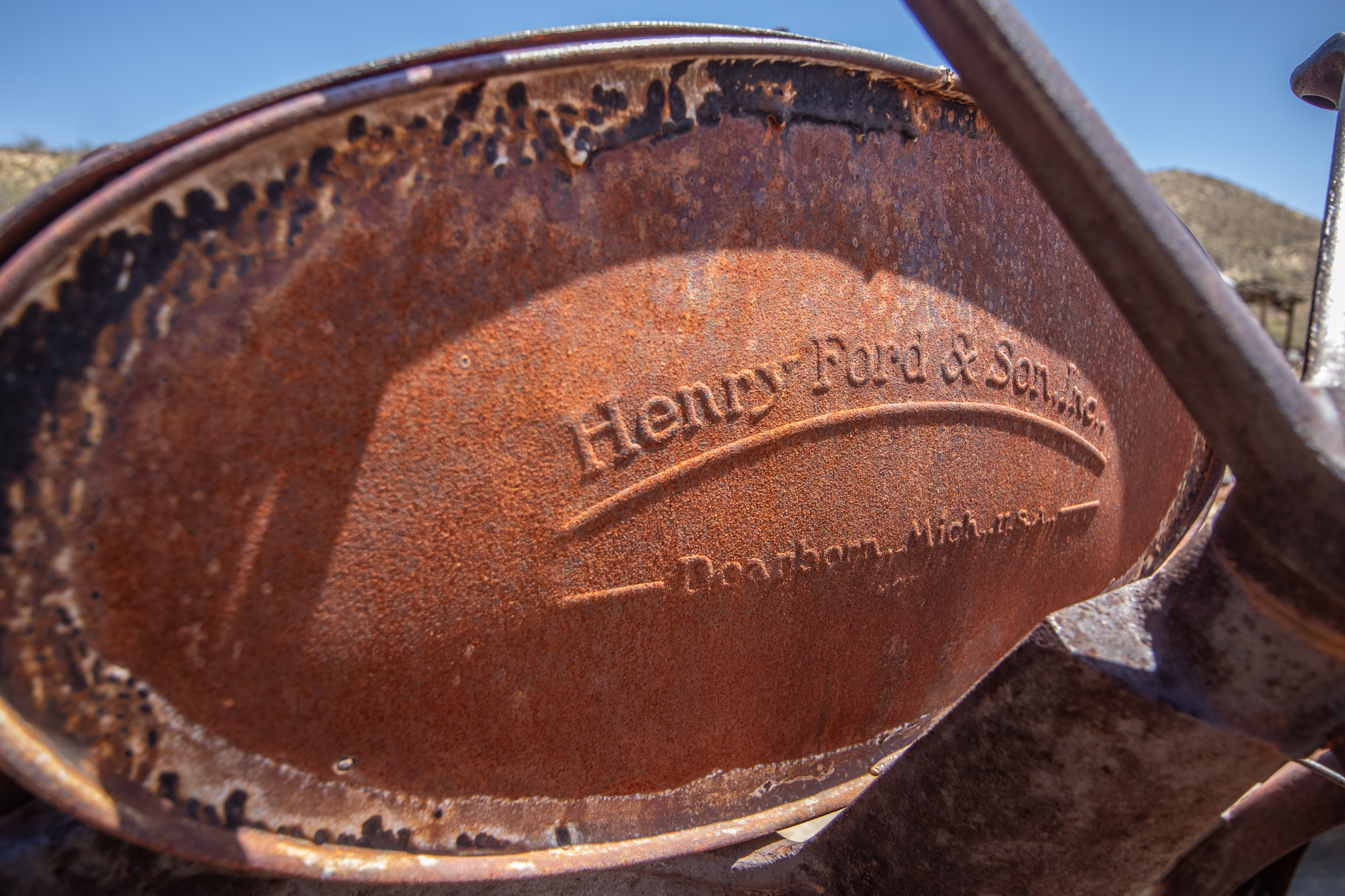
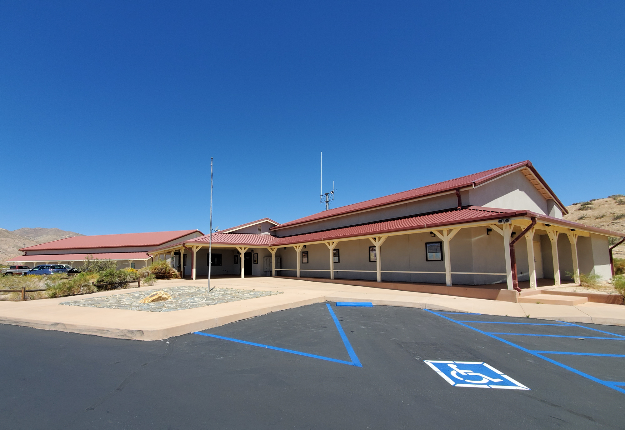
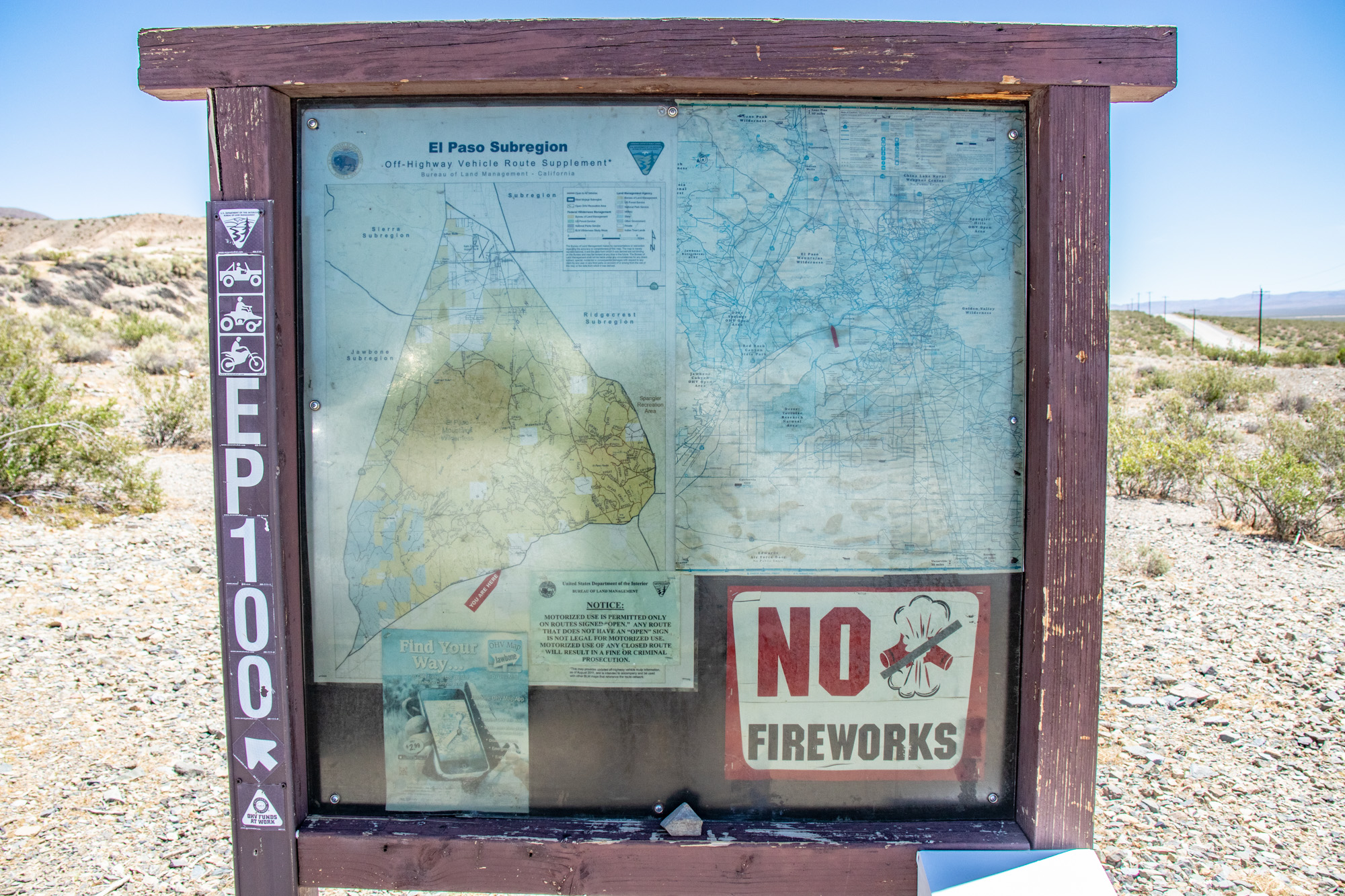
Quick stop by Friends of Jawbone to give it a look as well as grab a couple maps of the local areas.

20190607_111020.jpg


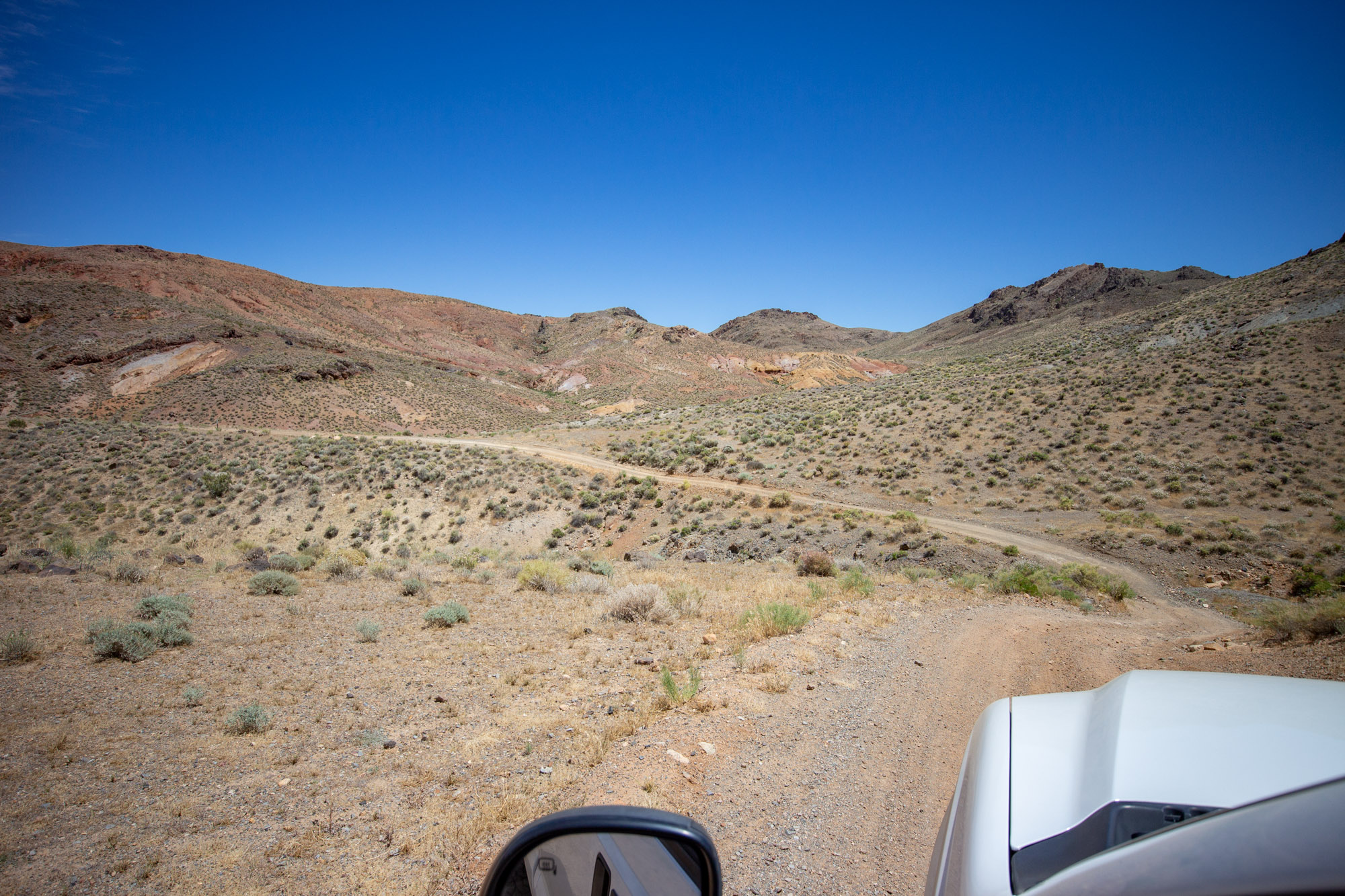
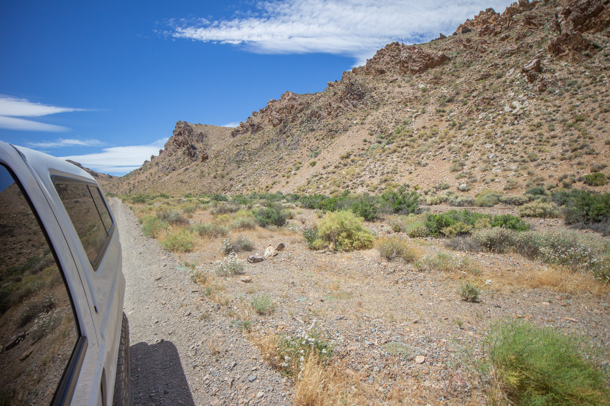
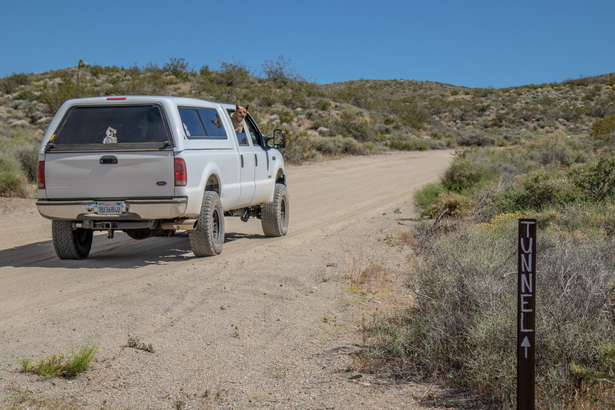
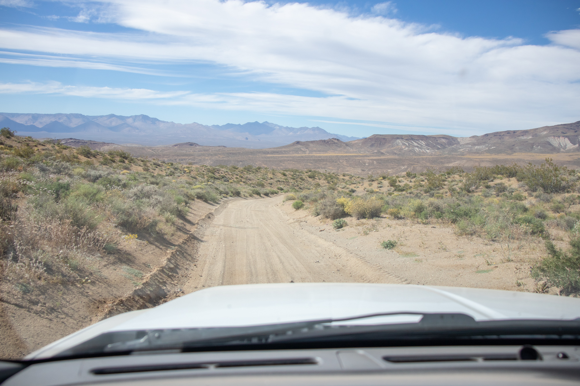
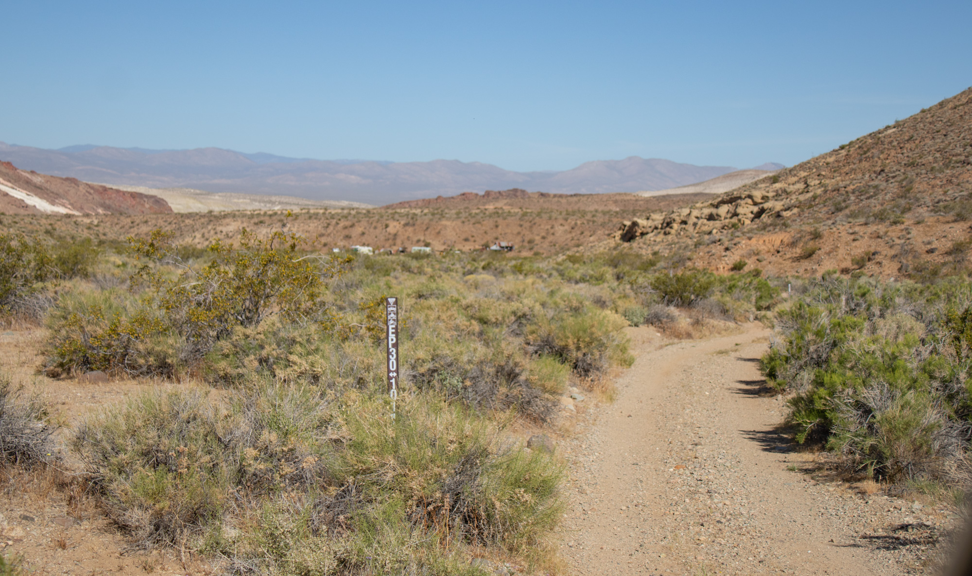
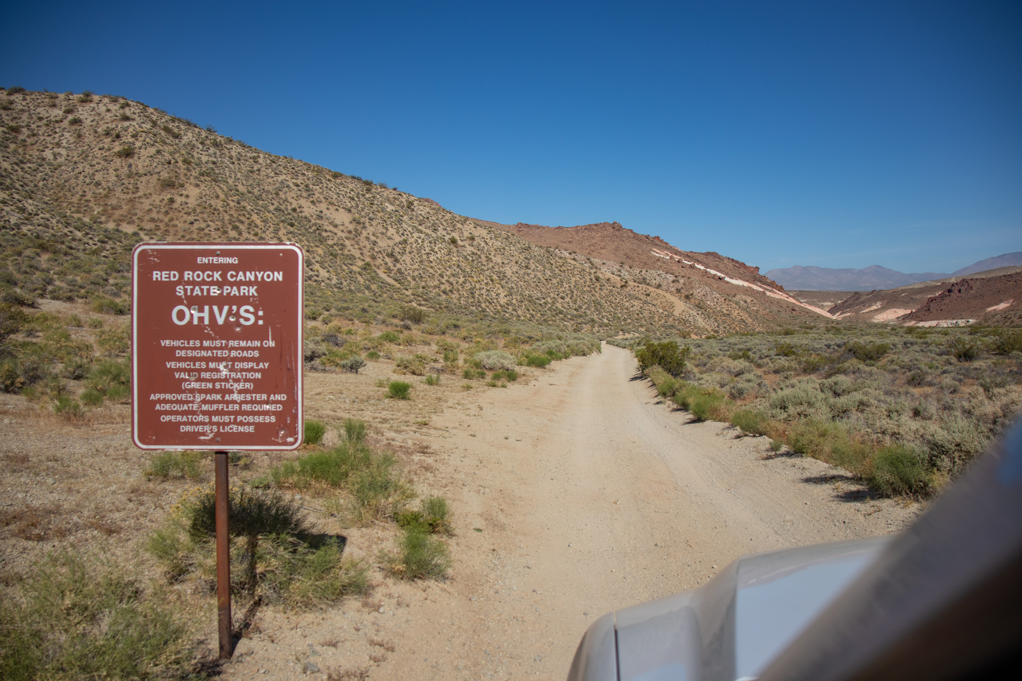
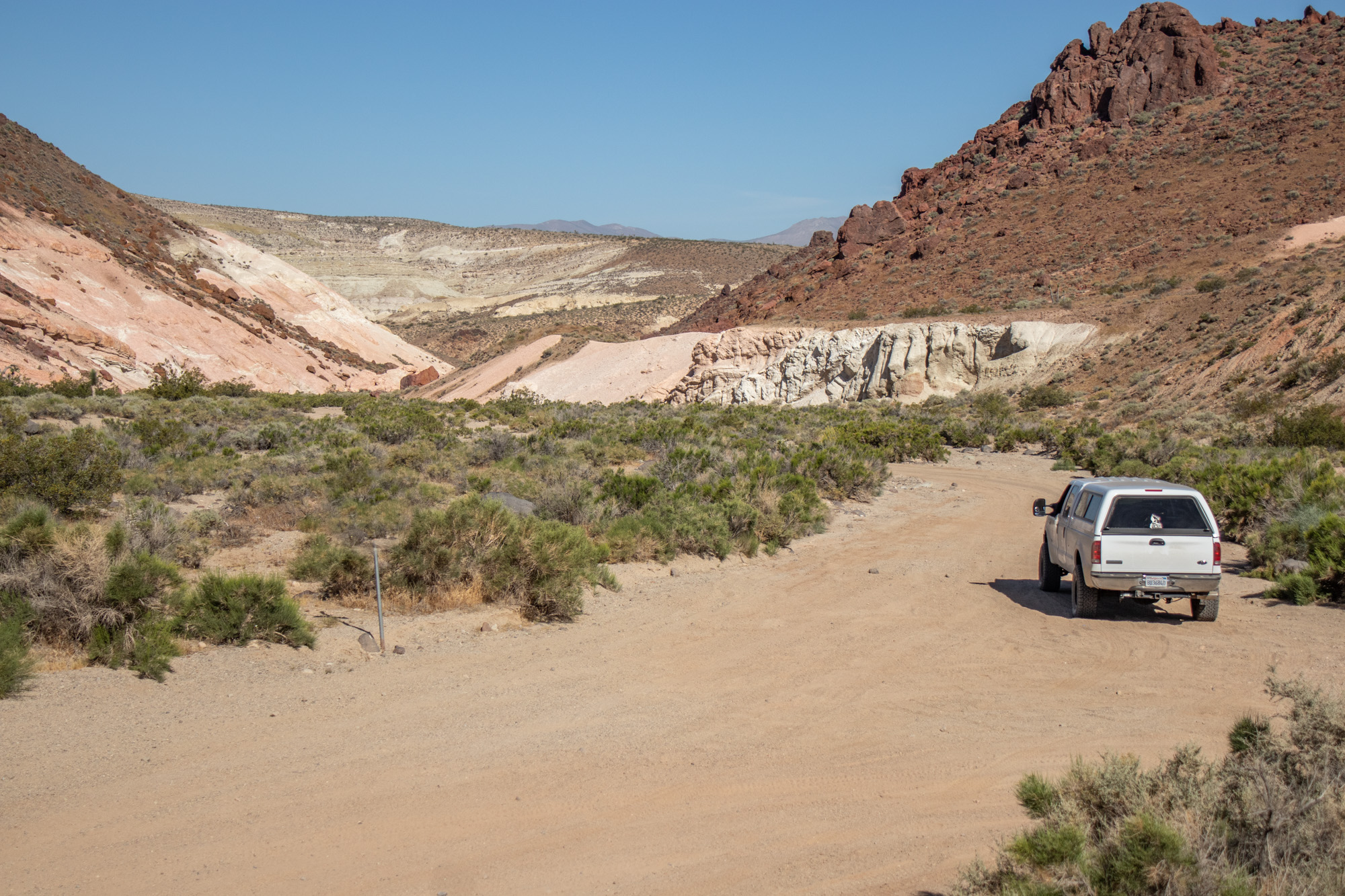
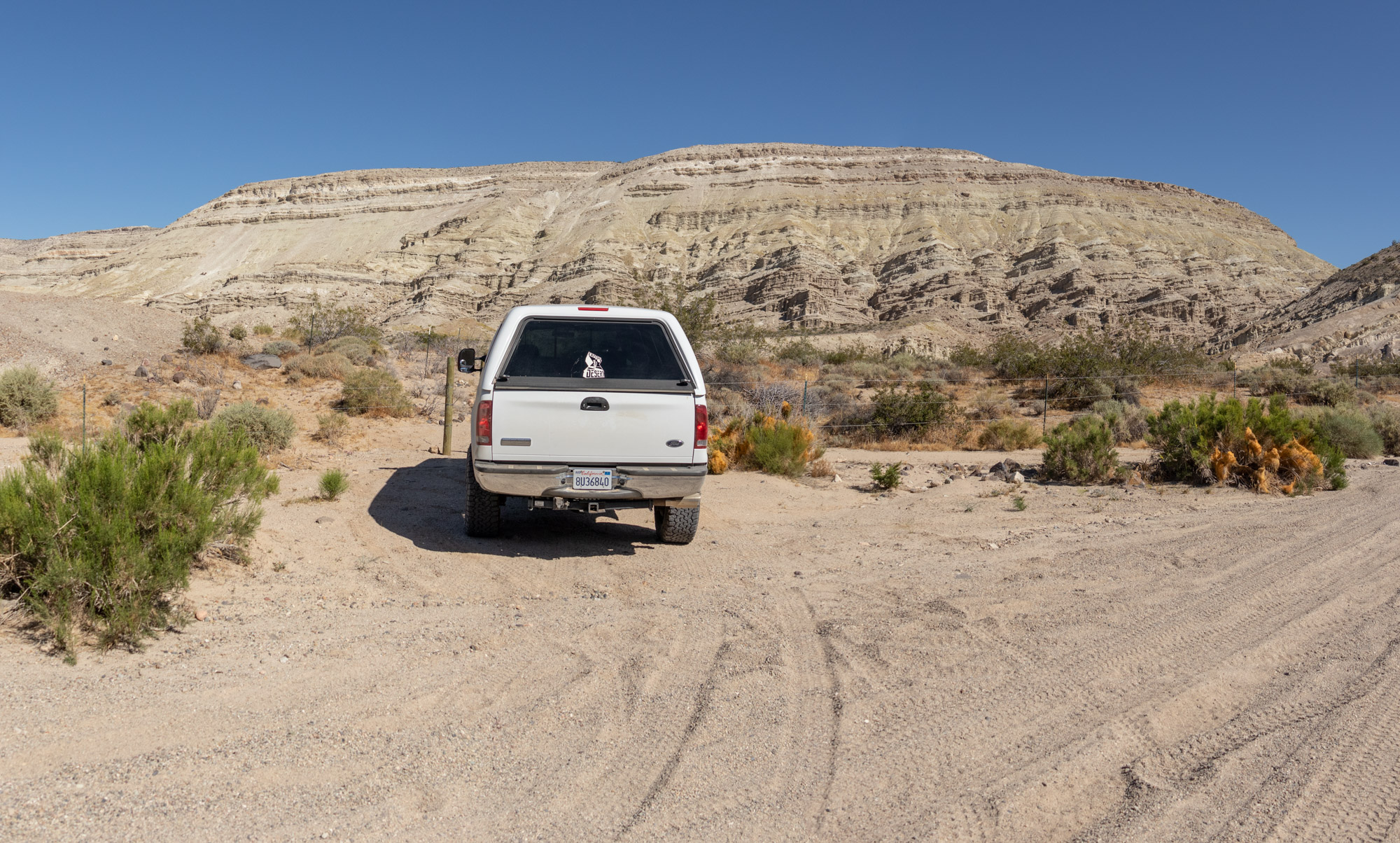
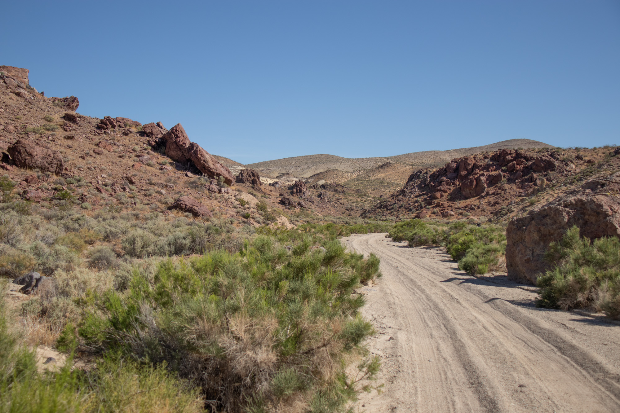
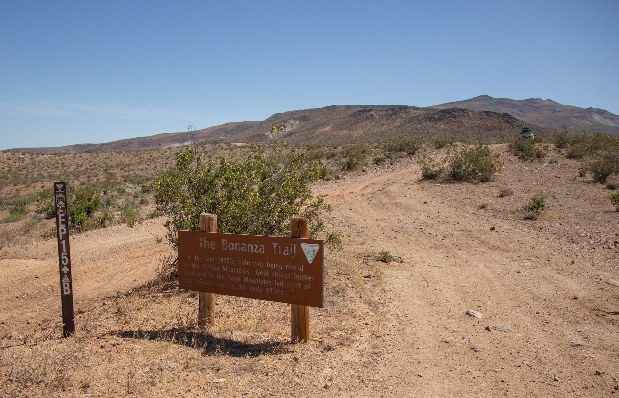
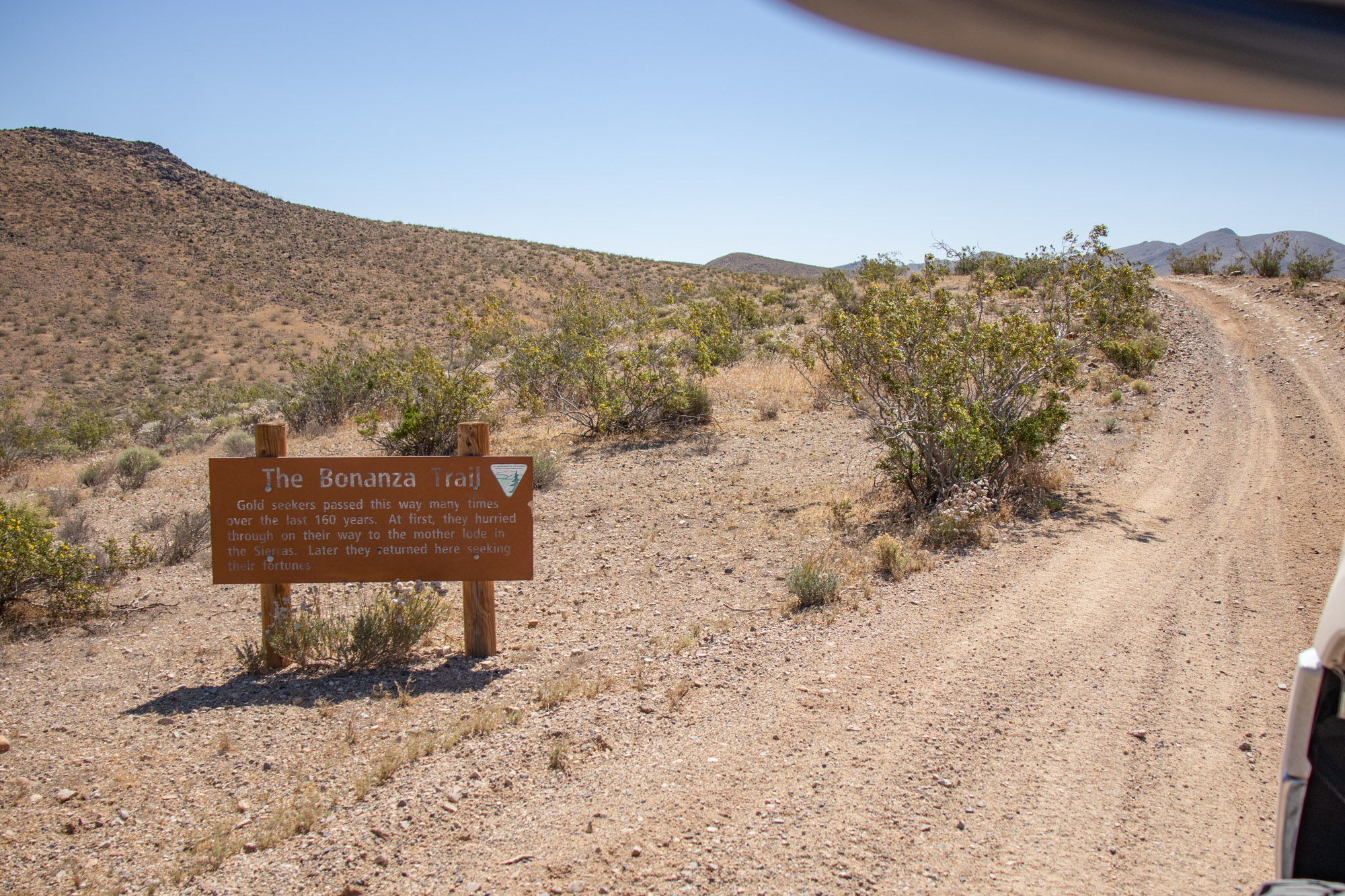
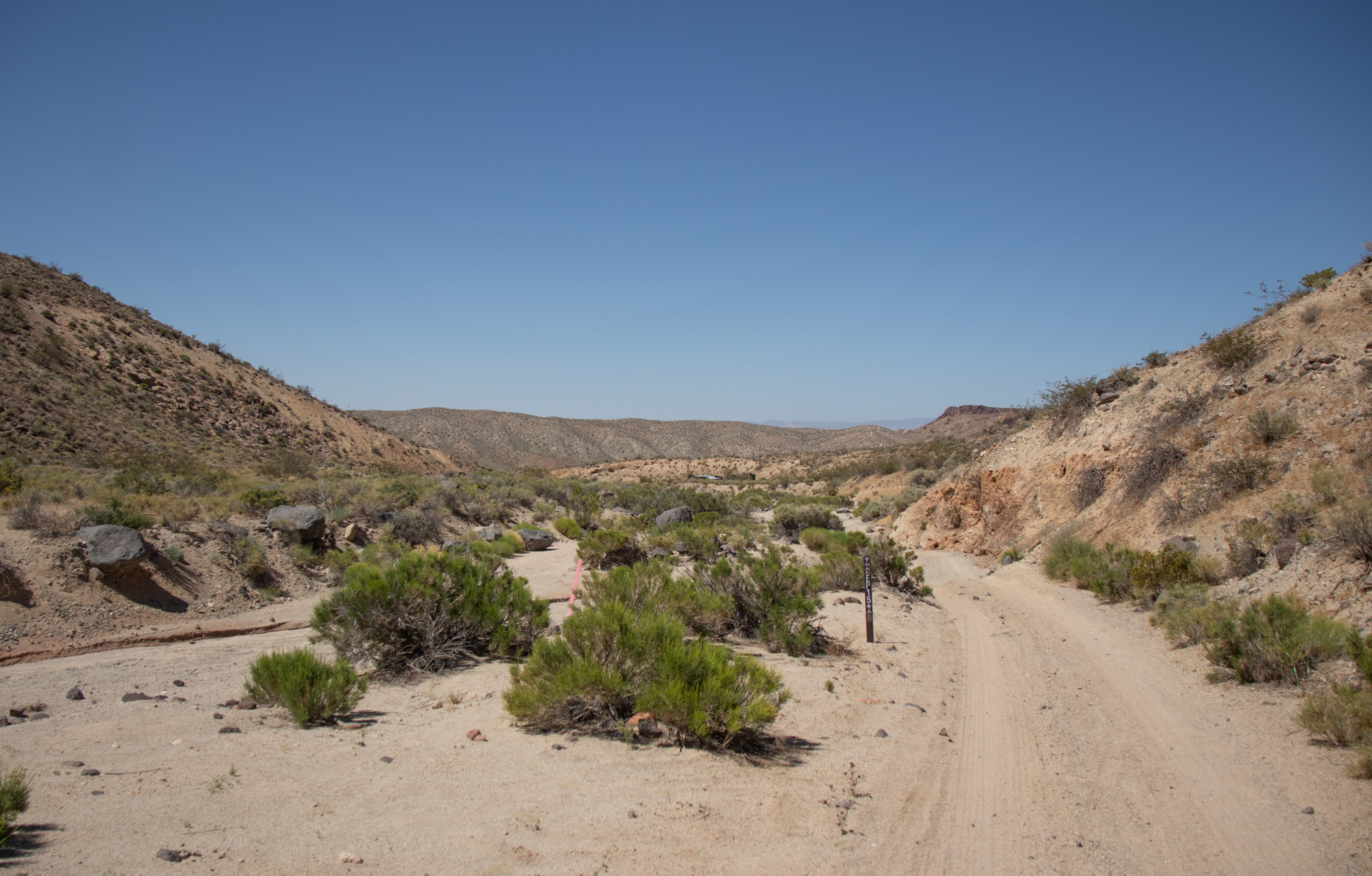
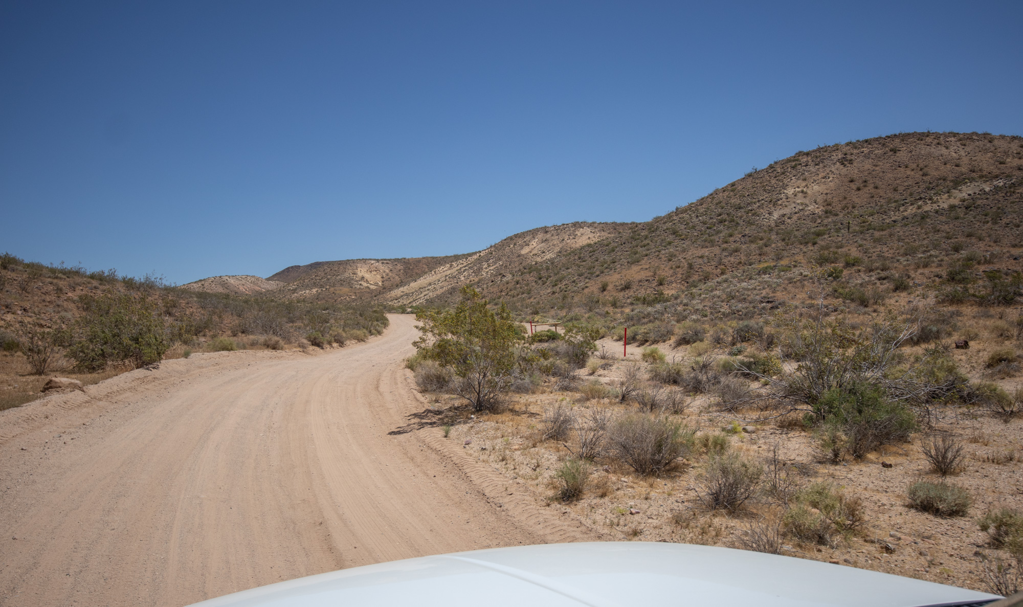
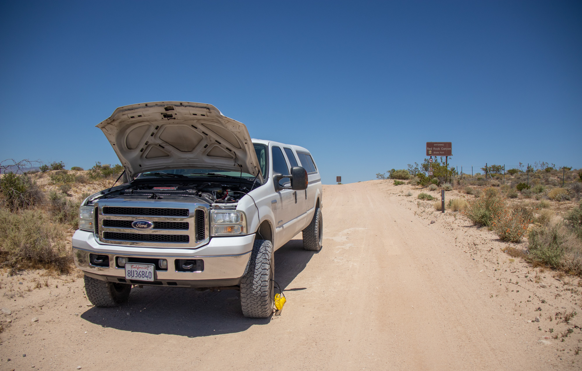
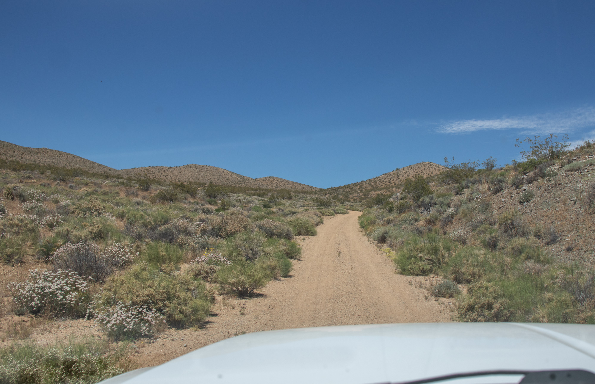
From there continued up Highway 14 until I reached RedRock Randsburg Rd which I then followed to Mesquite Canyon Trail. There's a few other options that you can take into the El Paso's on this side of the mountain, all different in approach, scenery and difficulty. For me I choice the easy route as a break-in run with the giant diesel.

IMG_6695.jpg


IMG_6691.jpg


IMG_8536.jpg

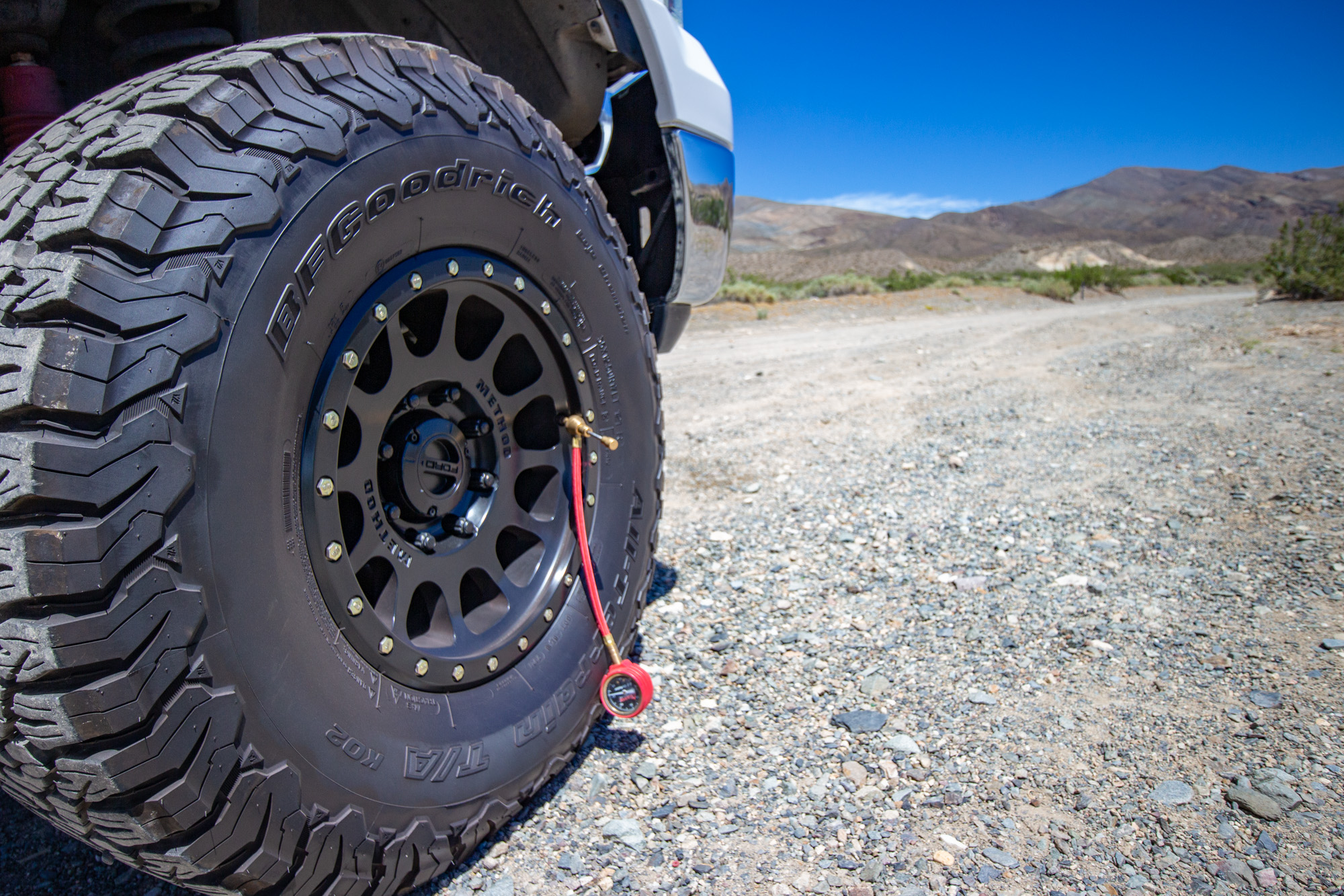
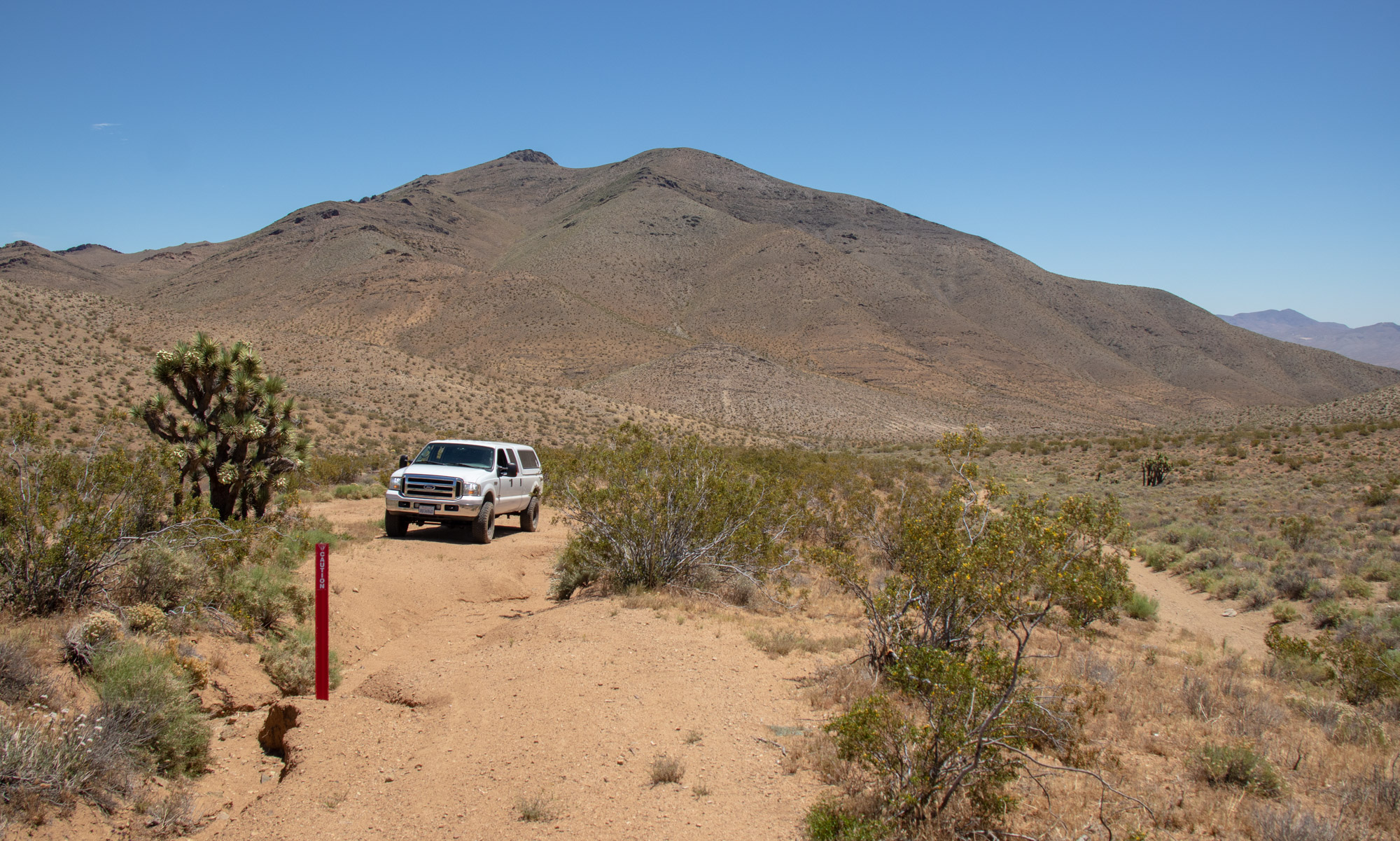
The 65 PSI was of no use once the tires touched dirt. Aired down to 30 front and 25 rear and the truck actually rode great.


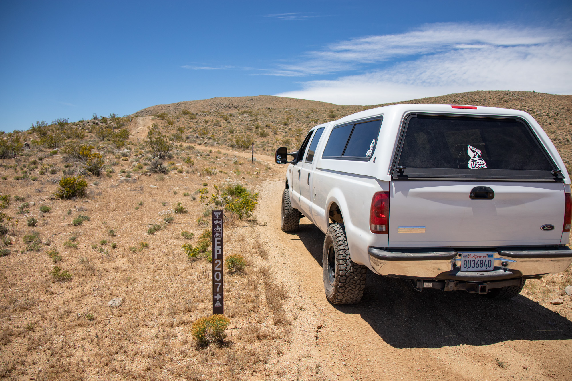
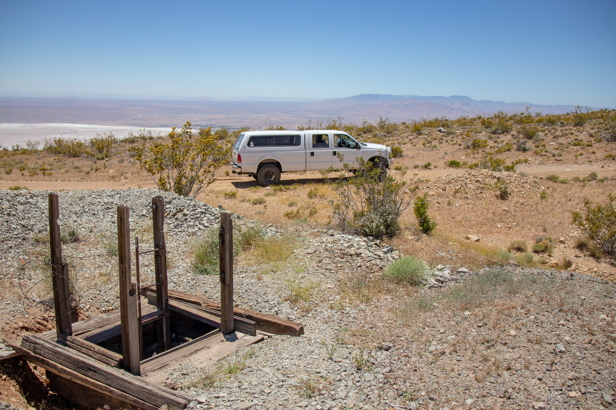
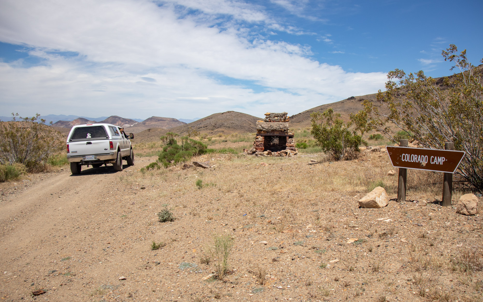
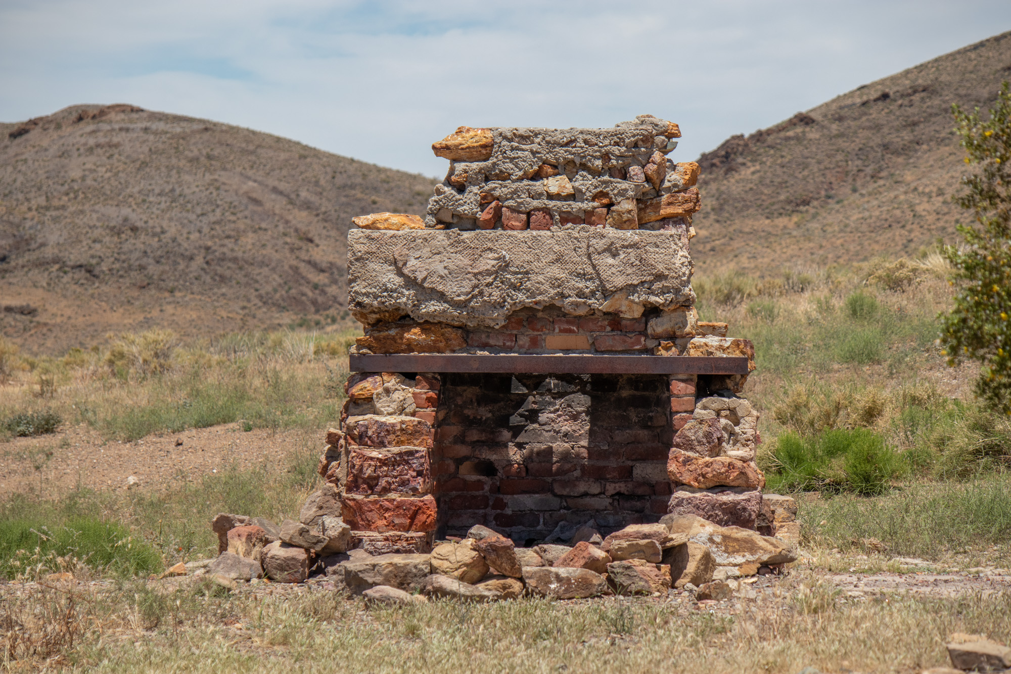
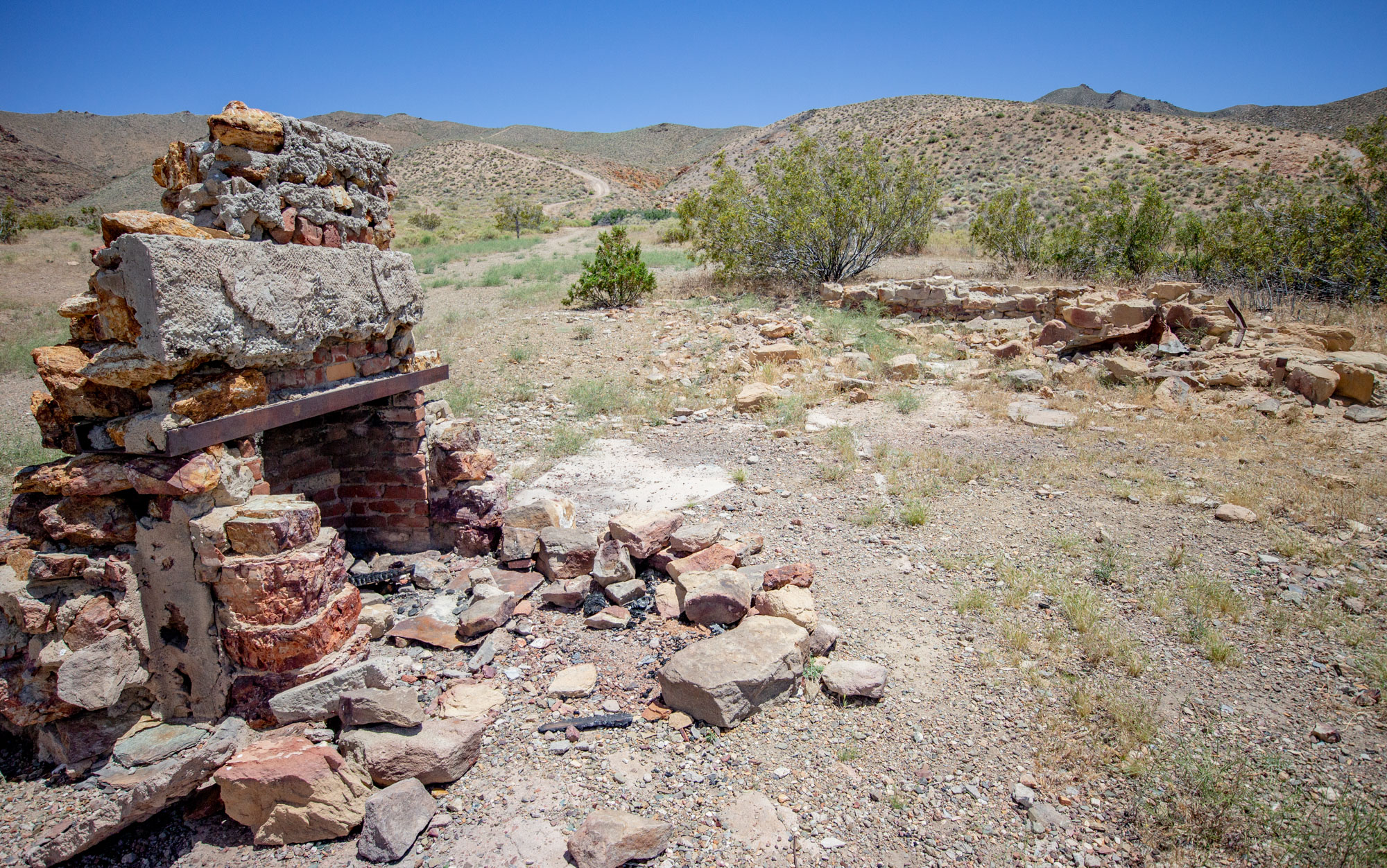
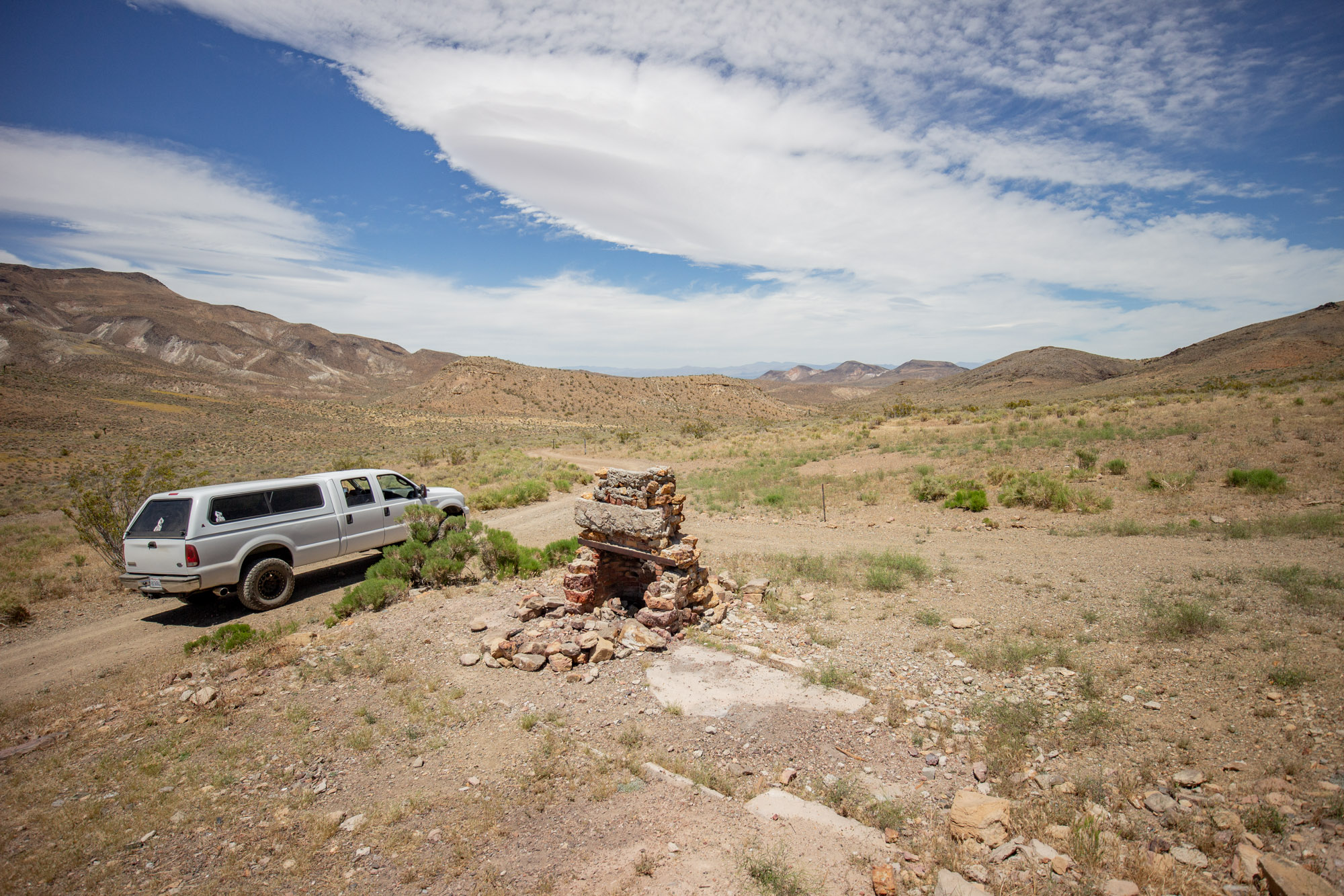
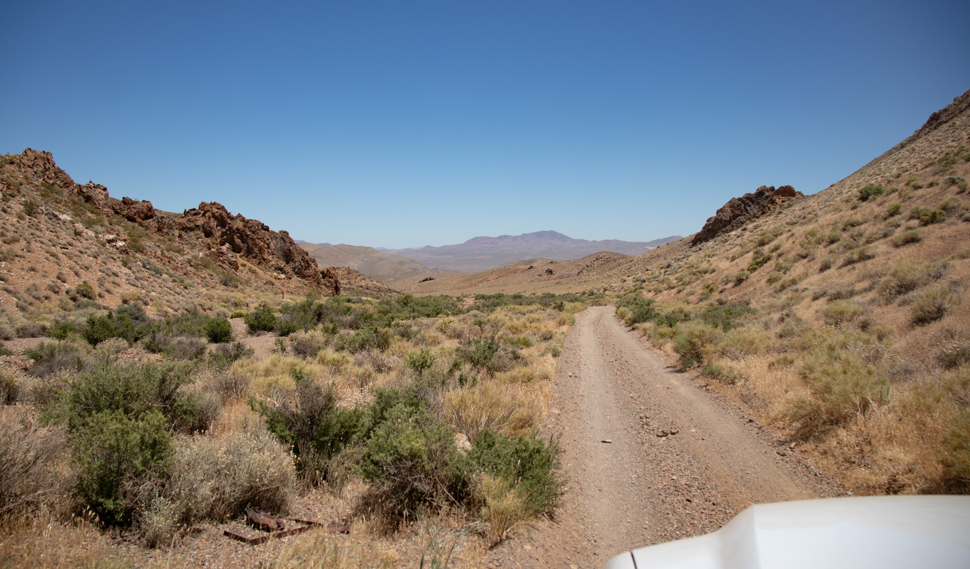
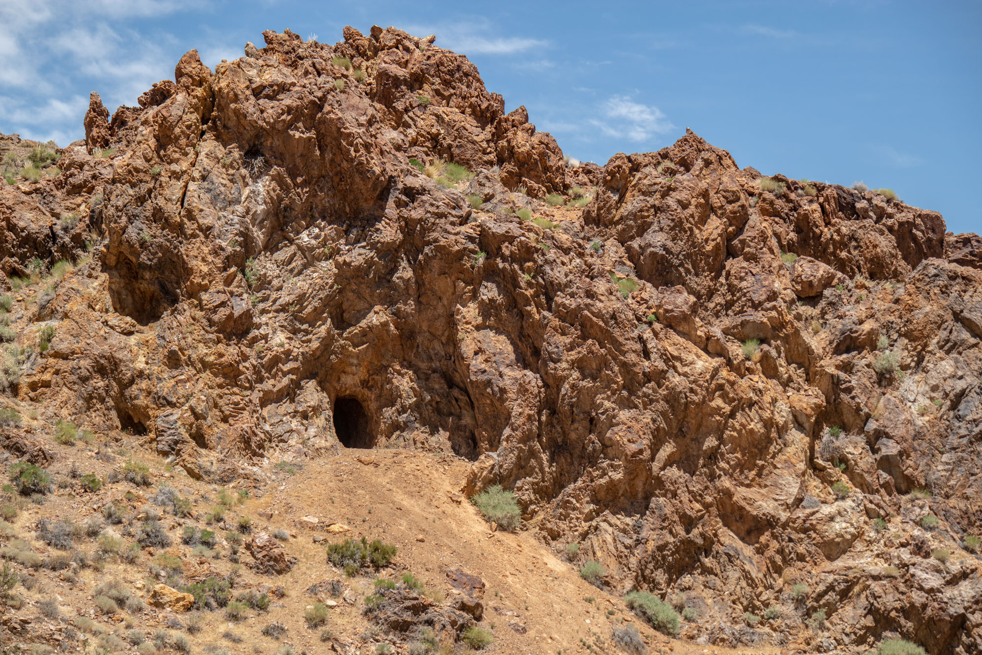
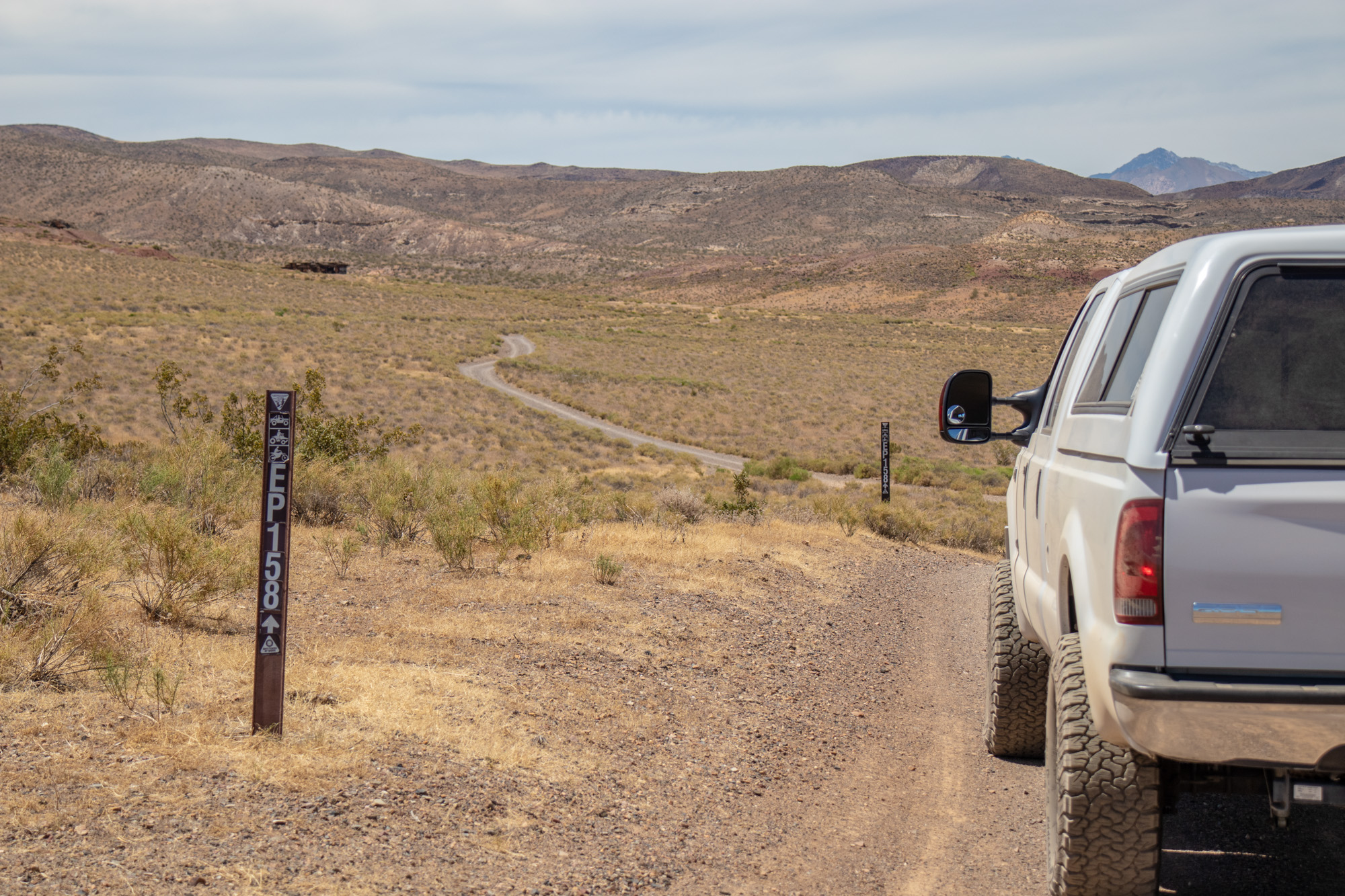
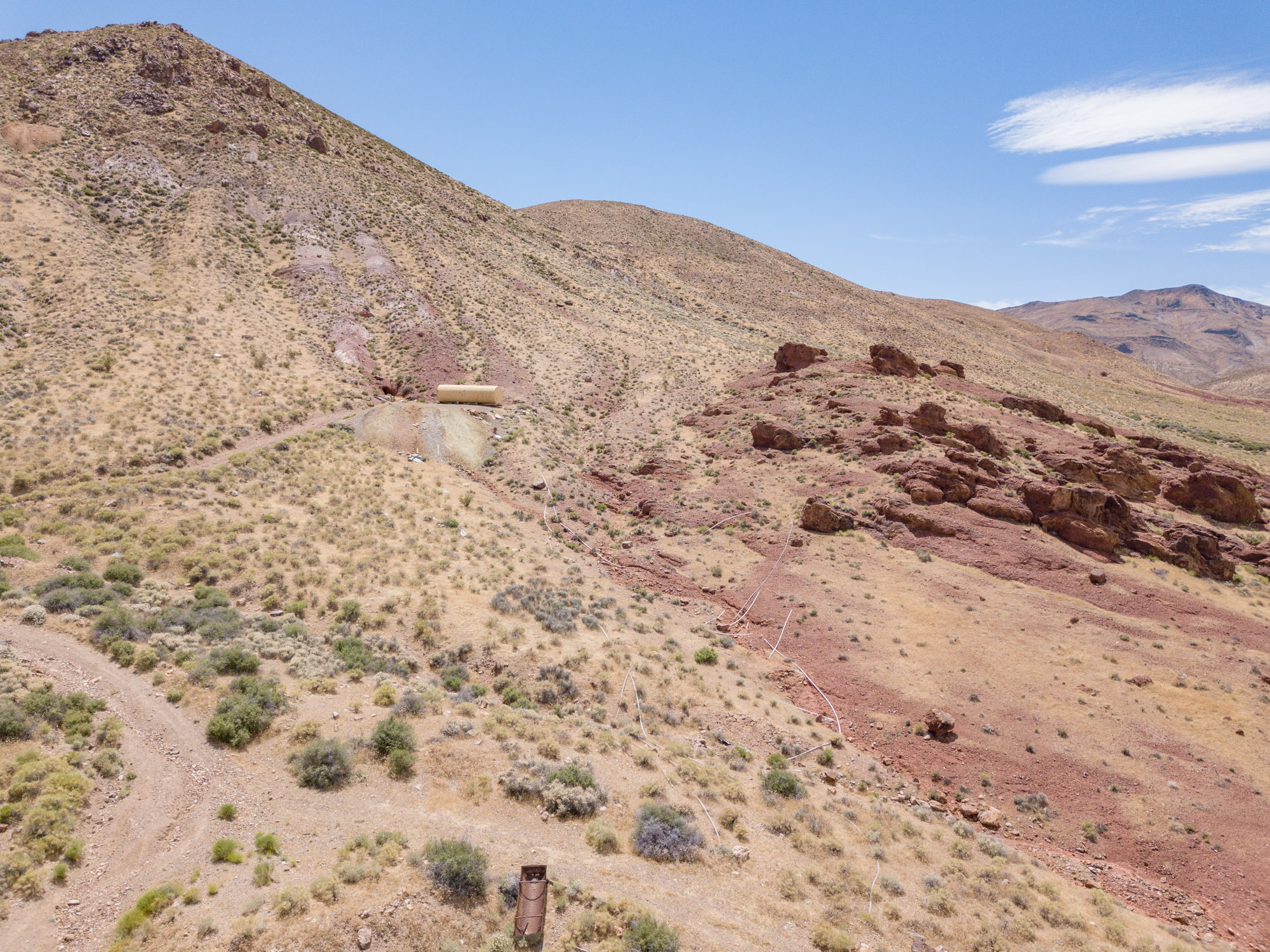
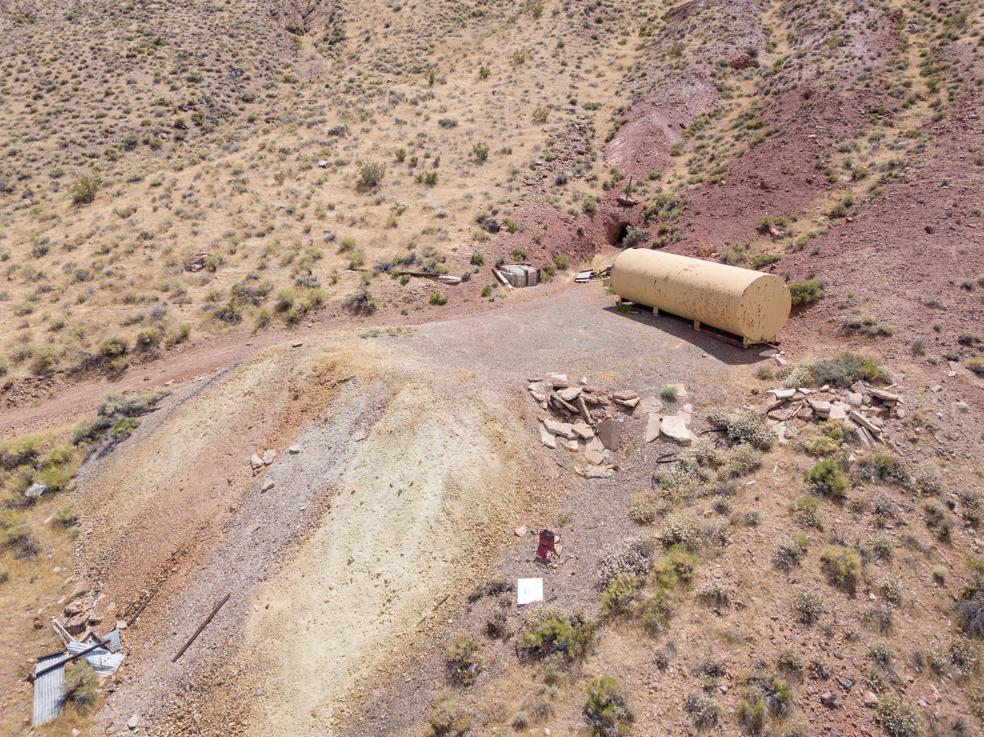
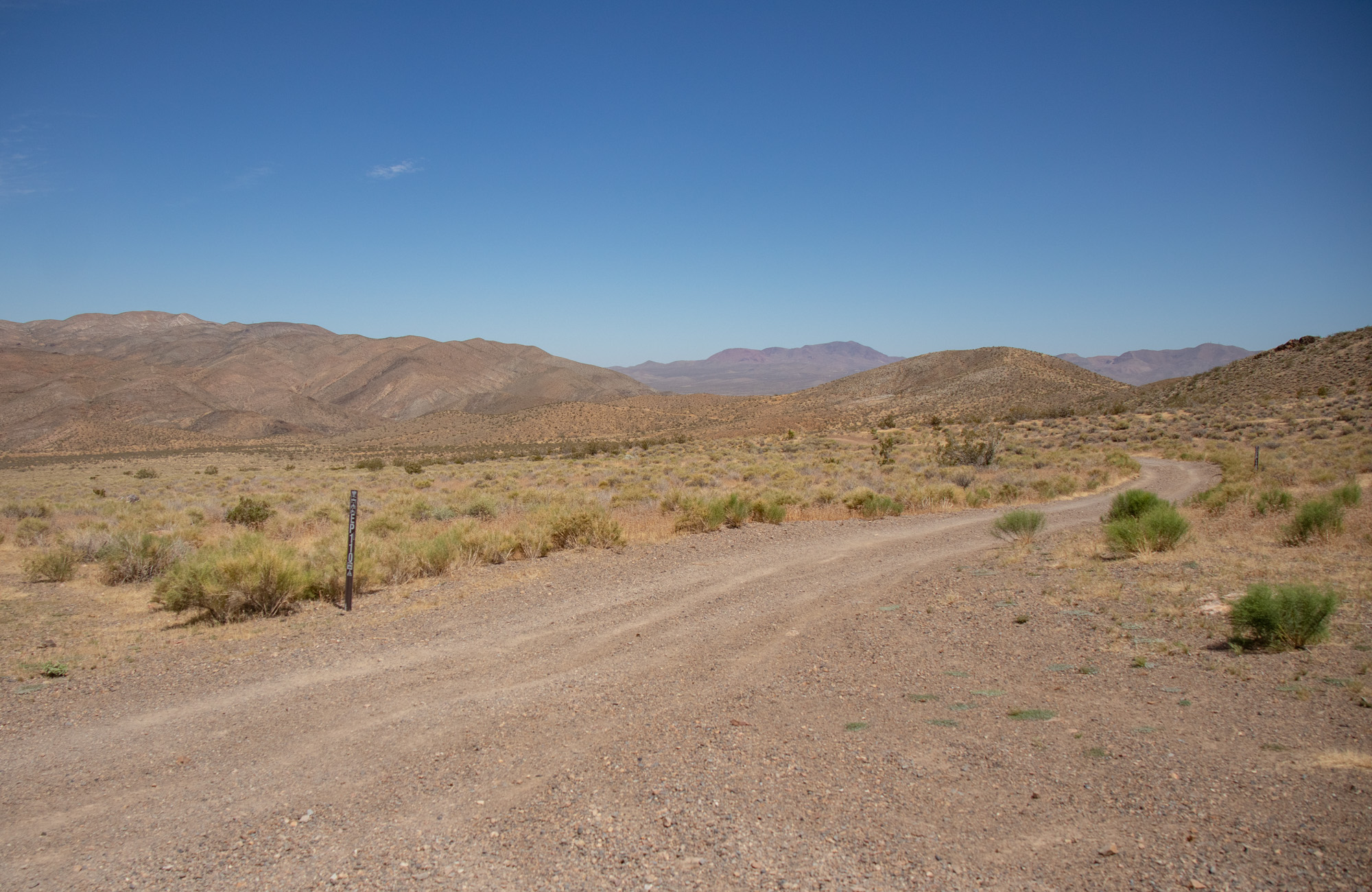
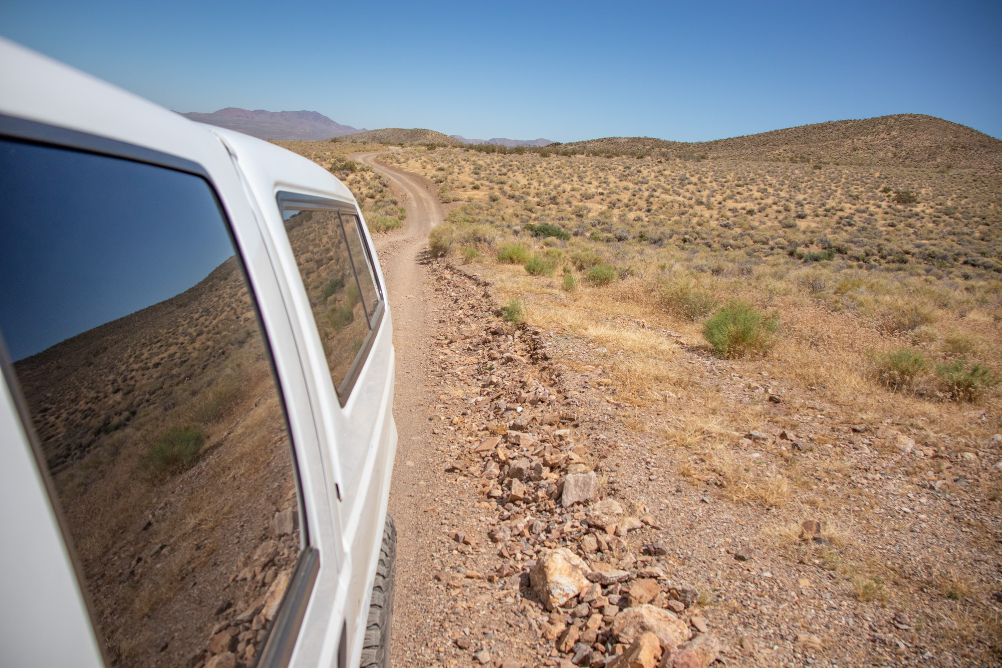
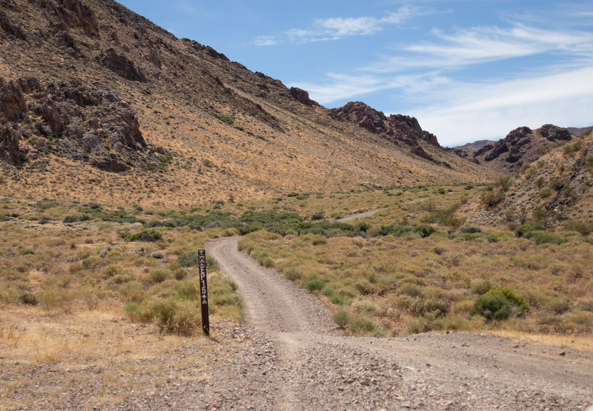
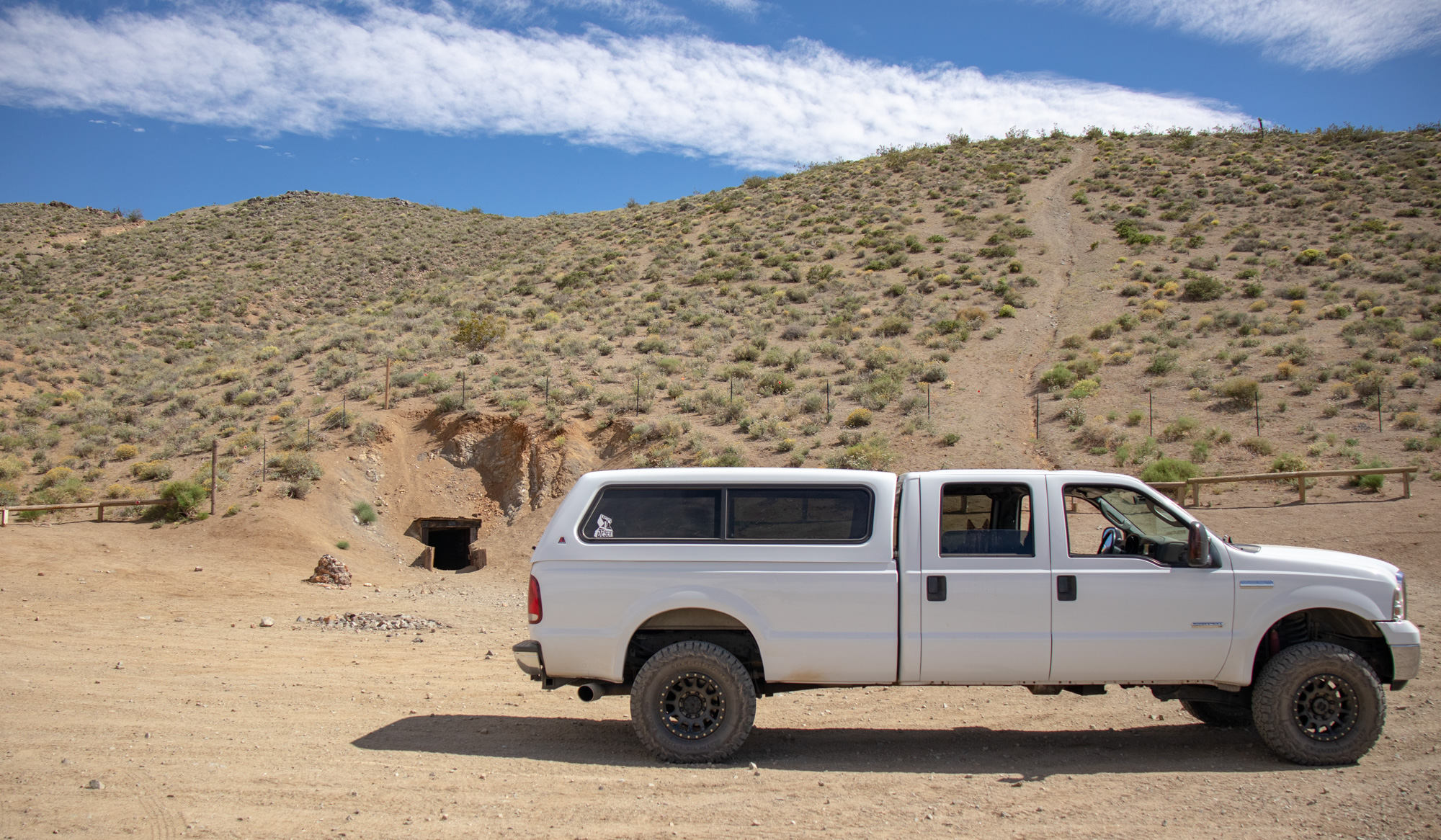
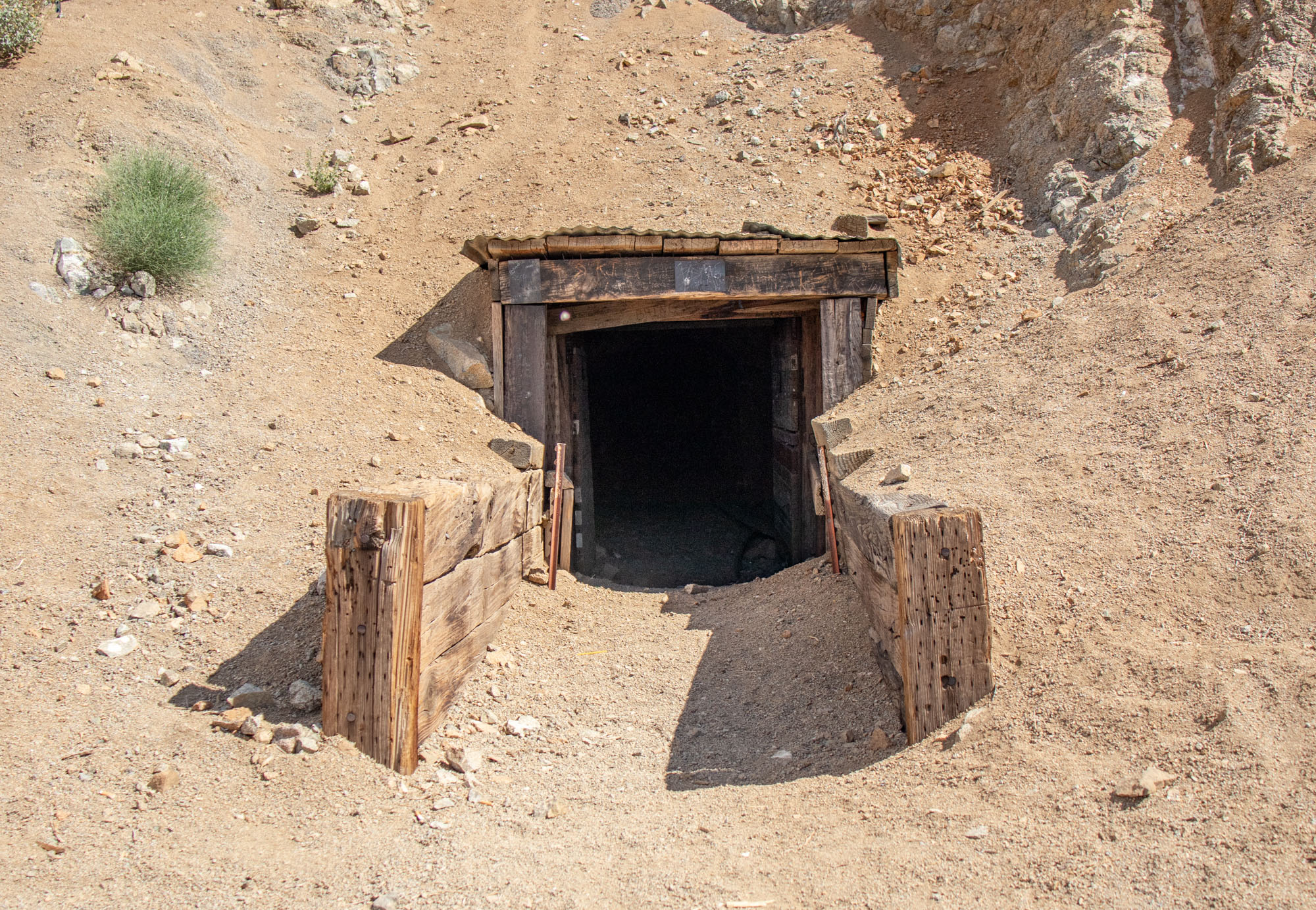
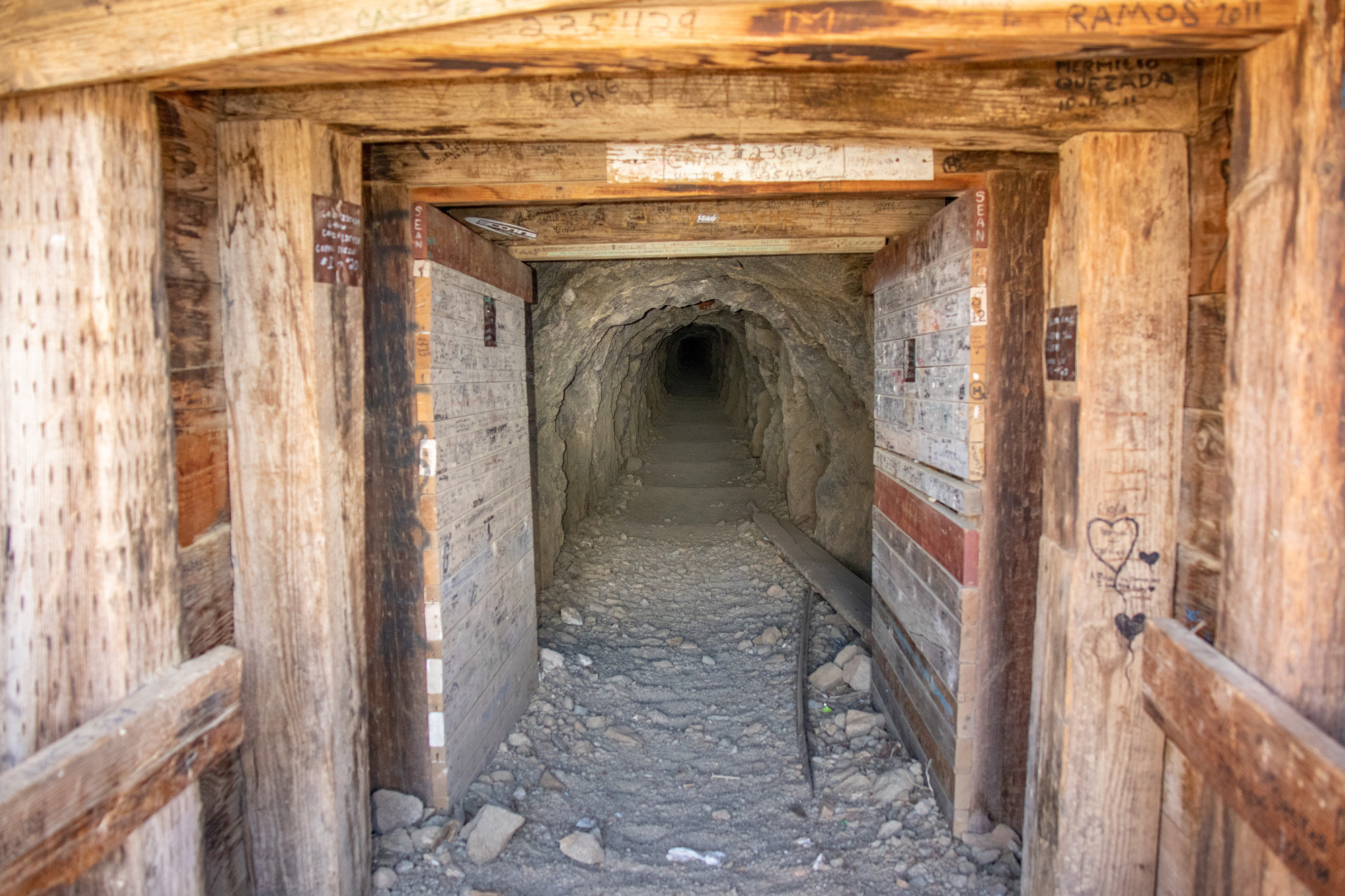
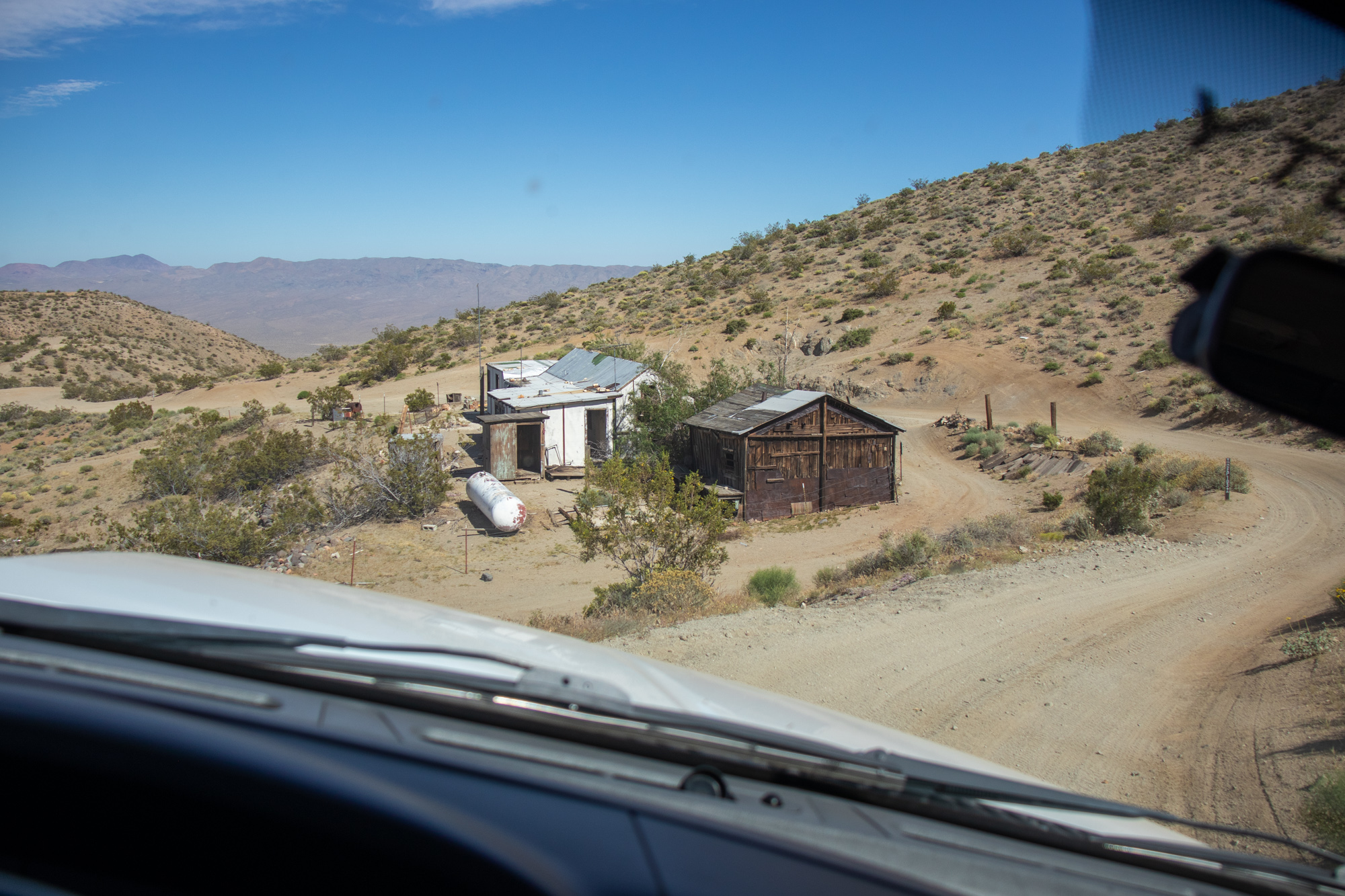
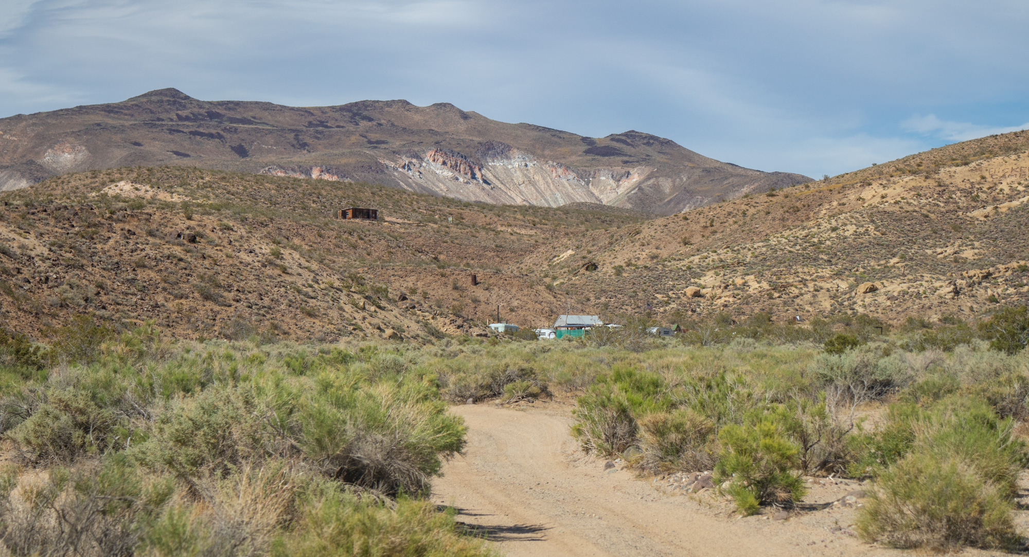
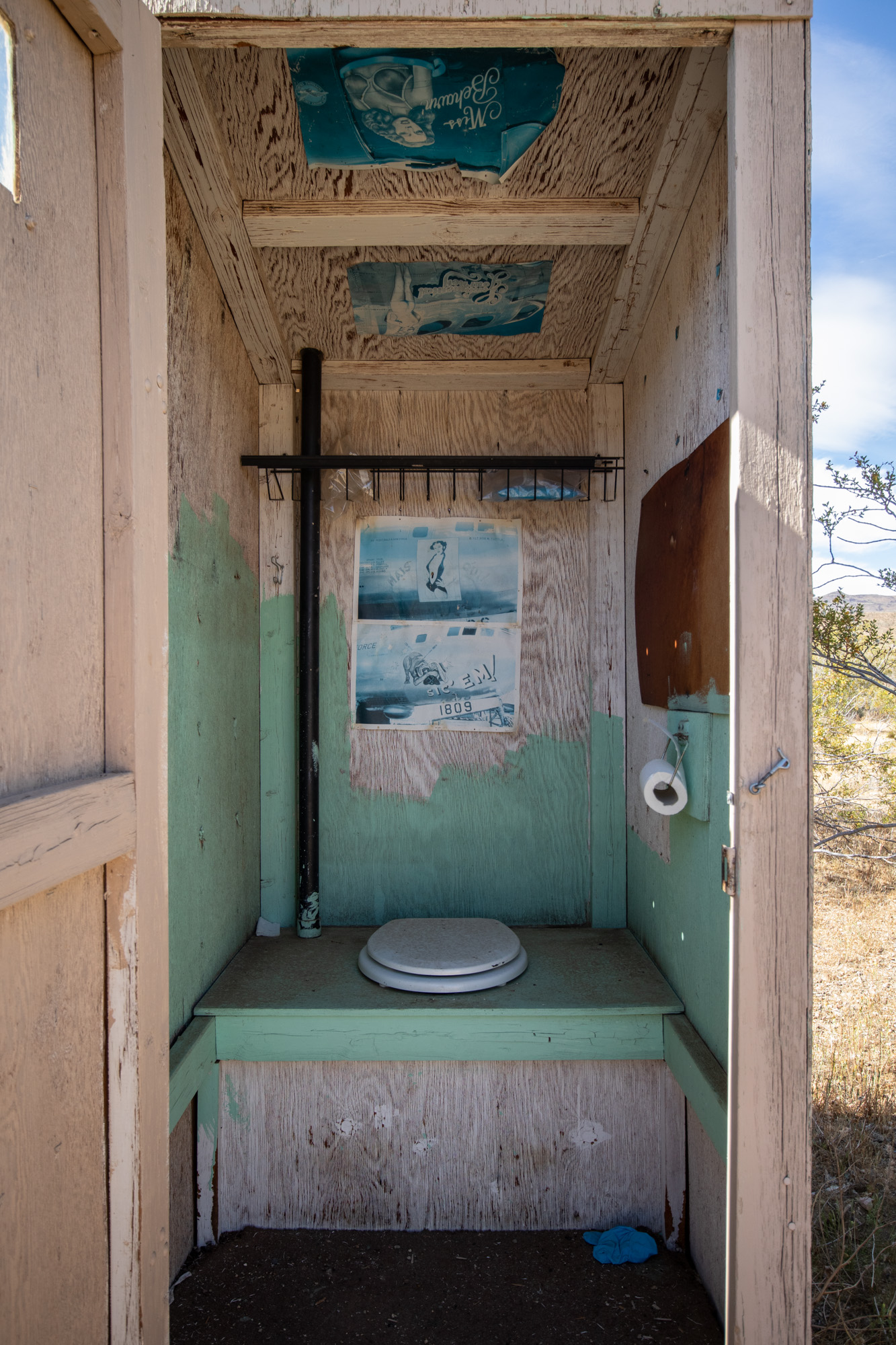
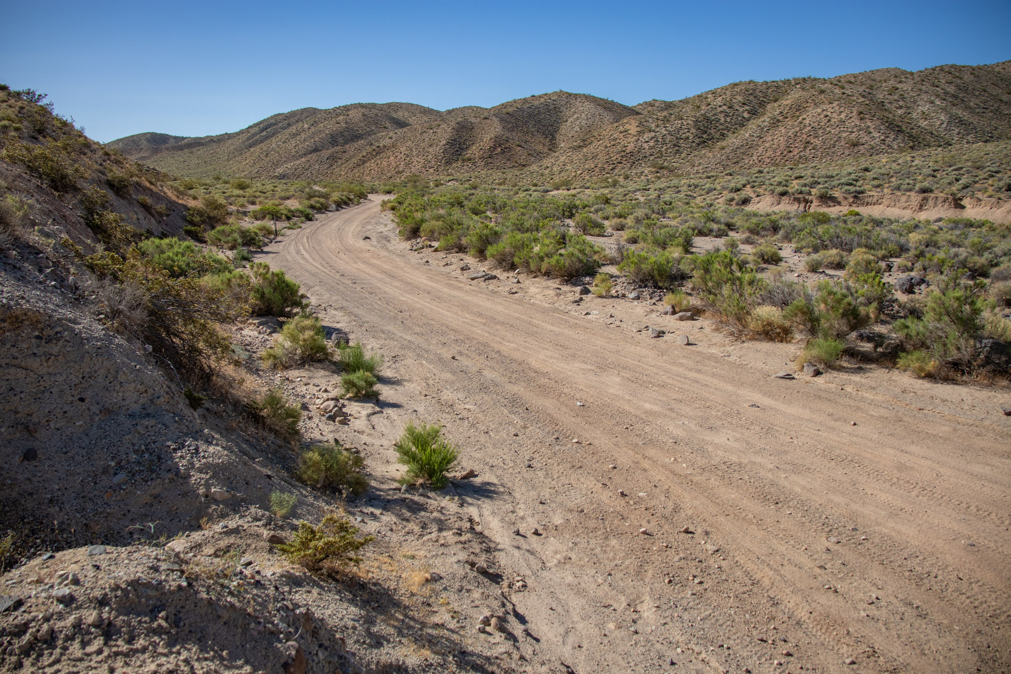
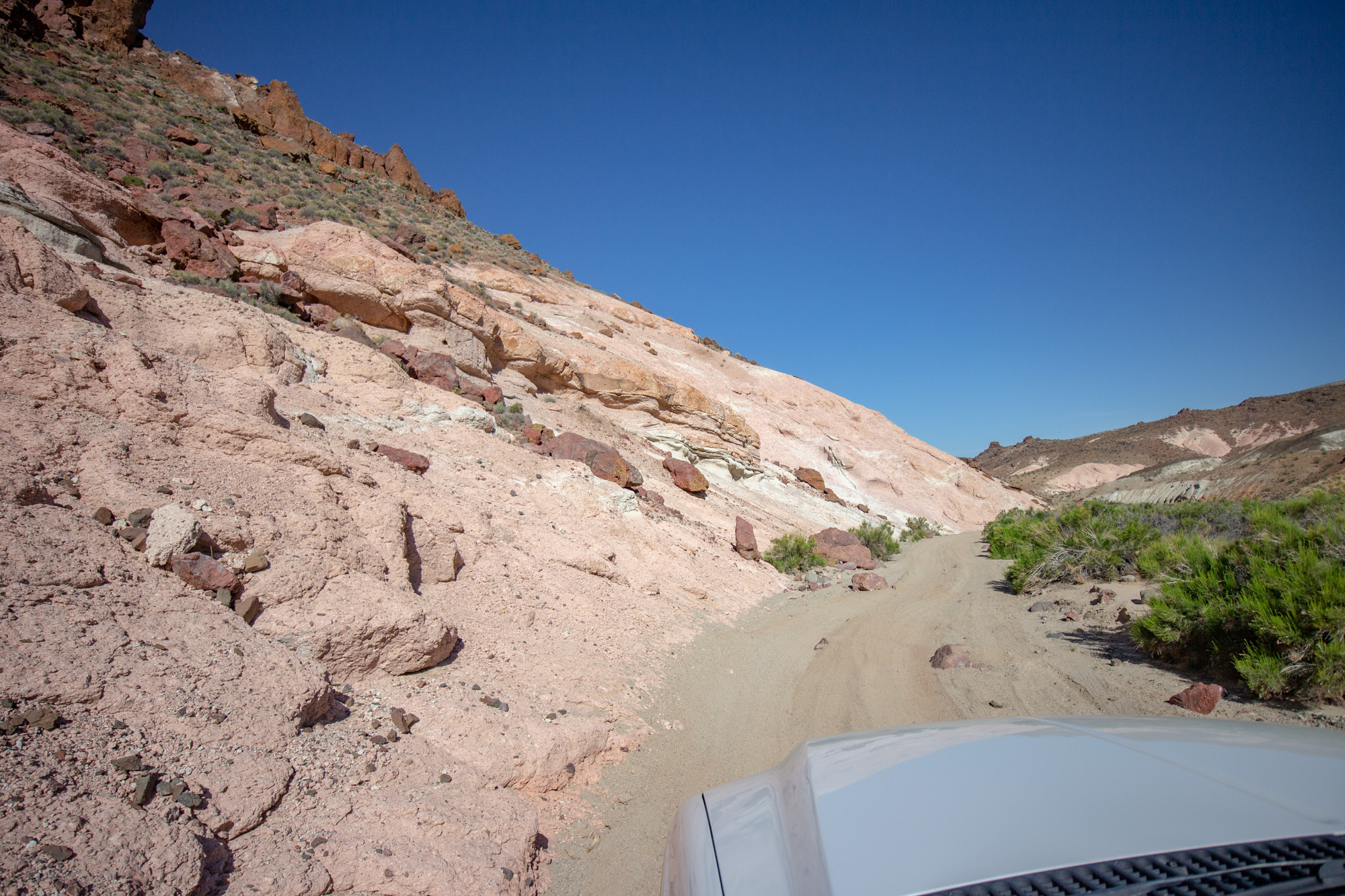
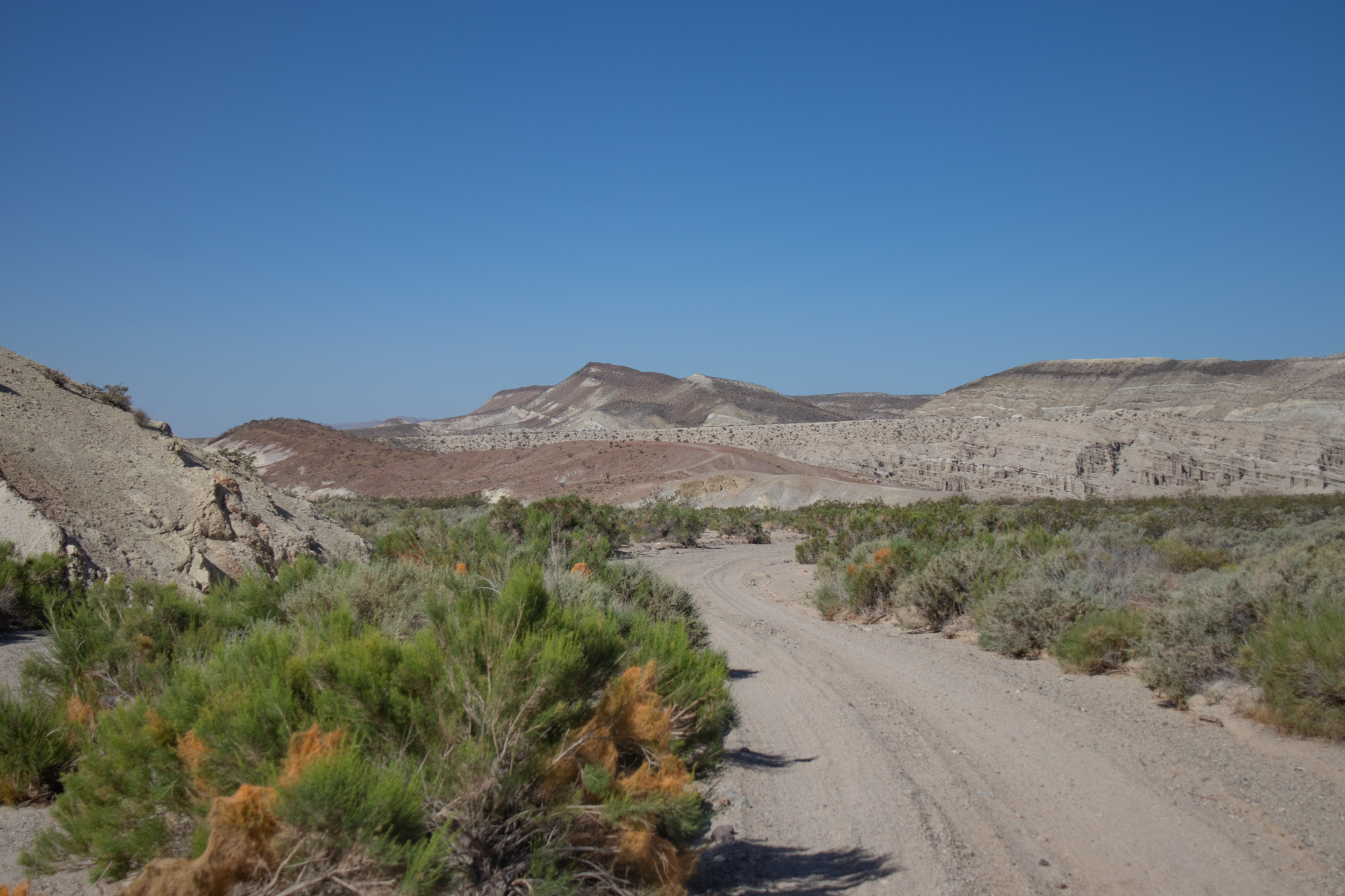
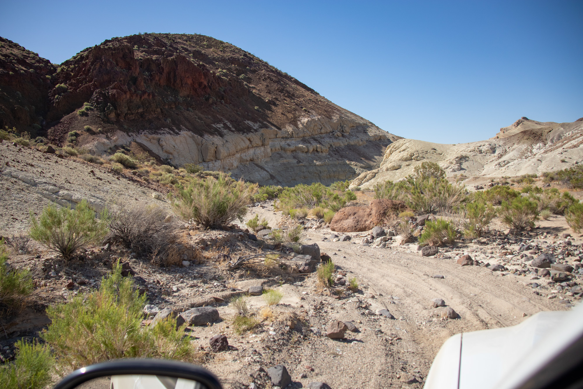
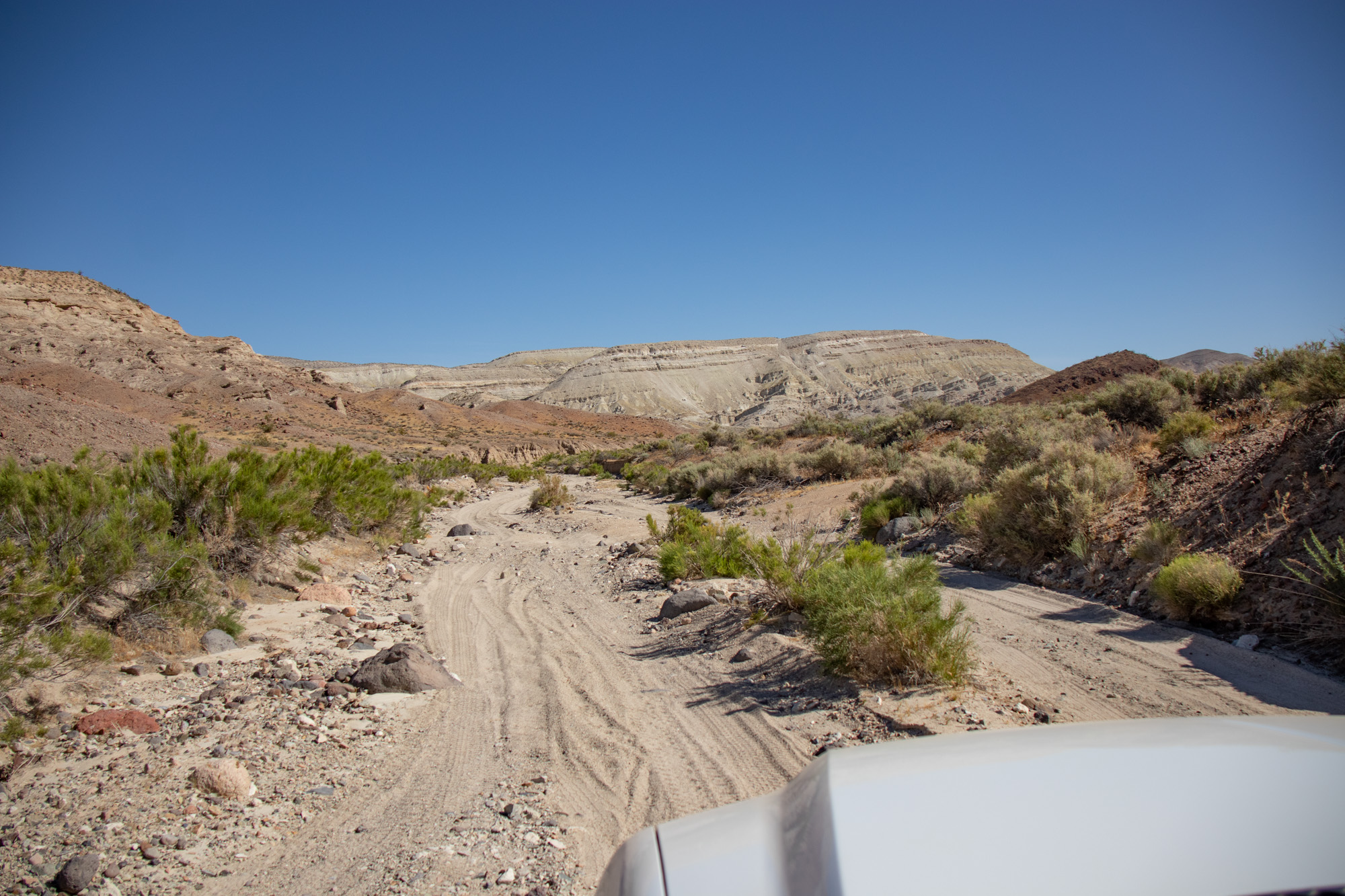
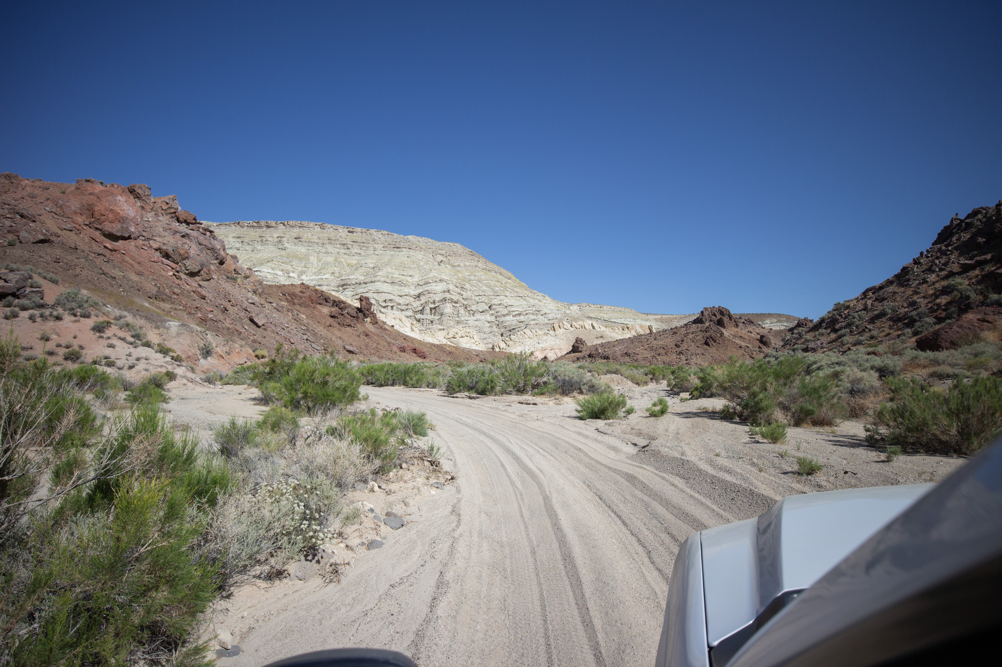
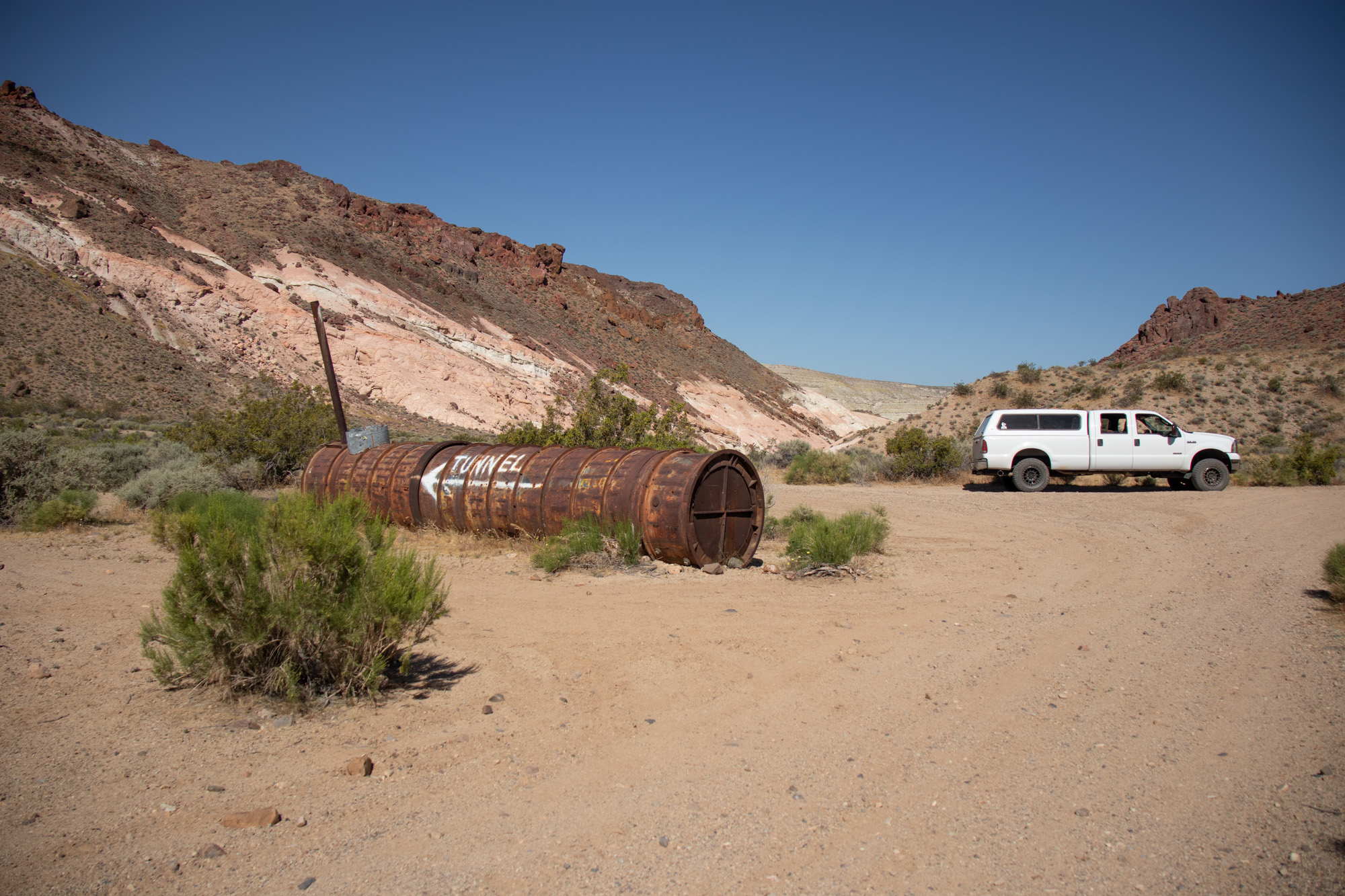
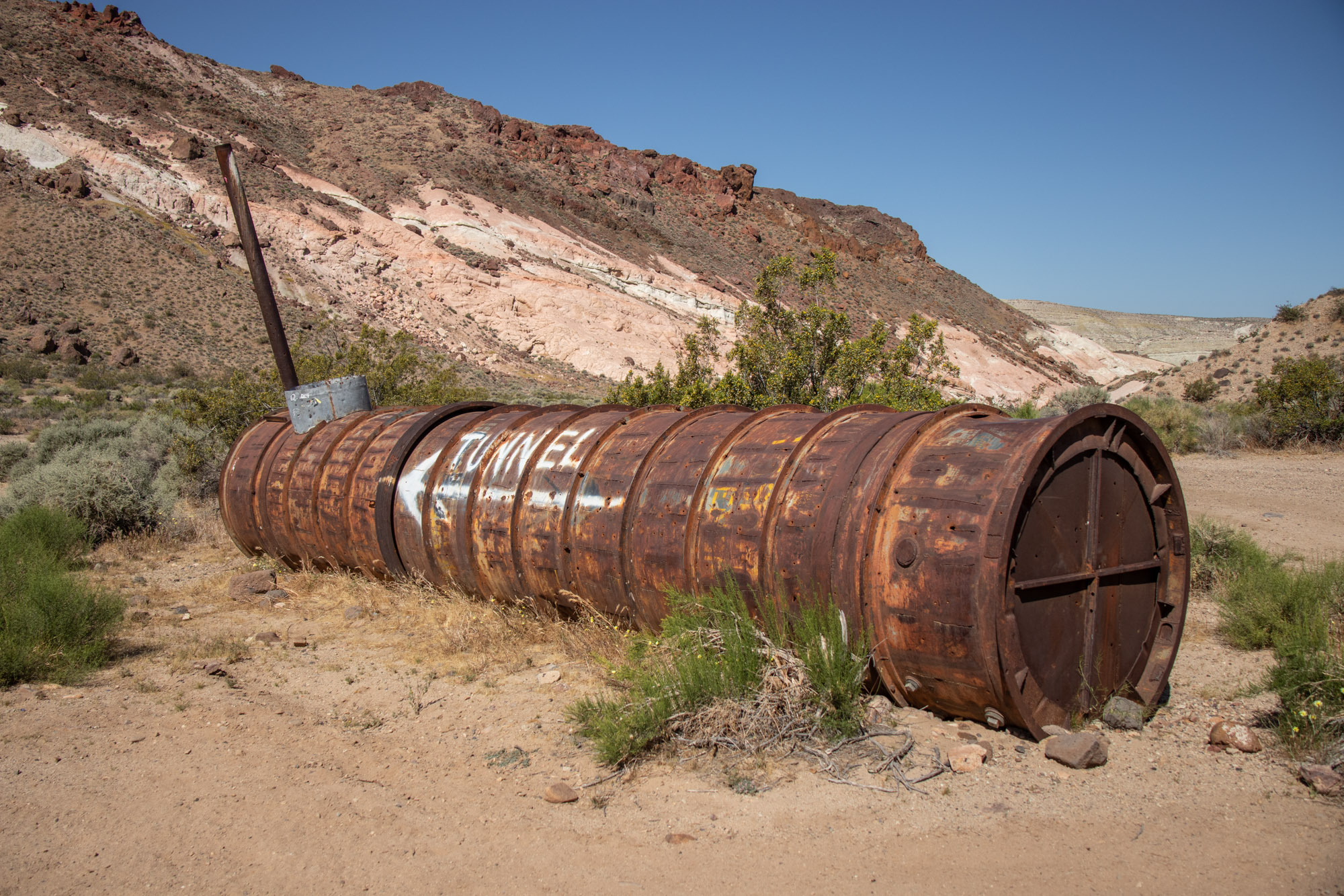
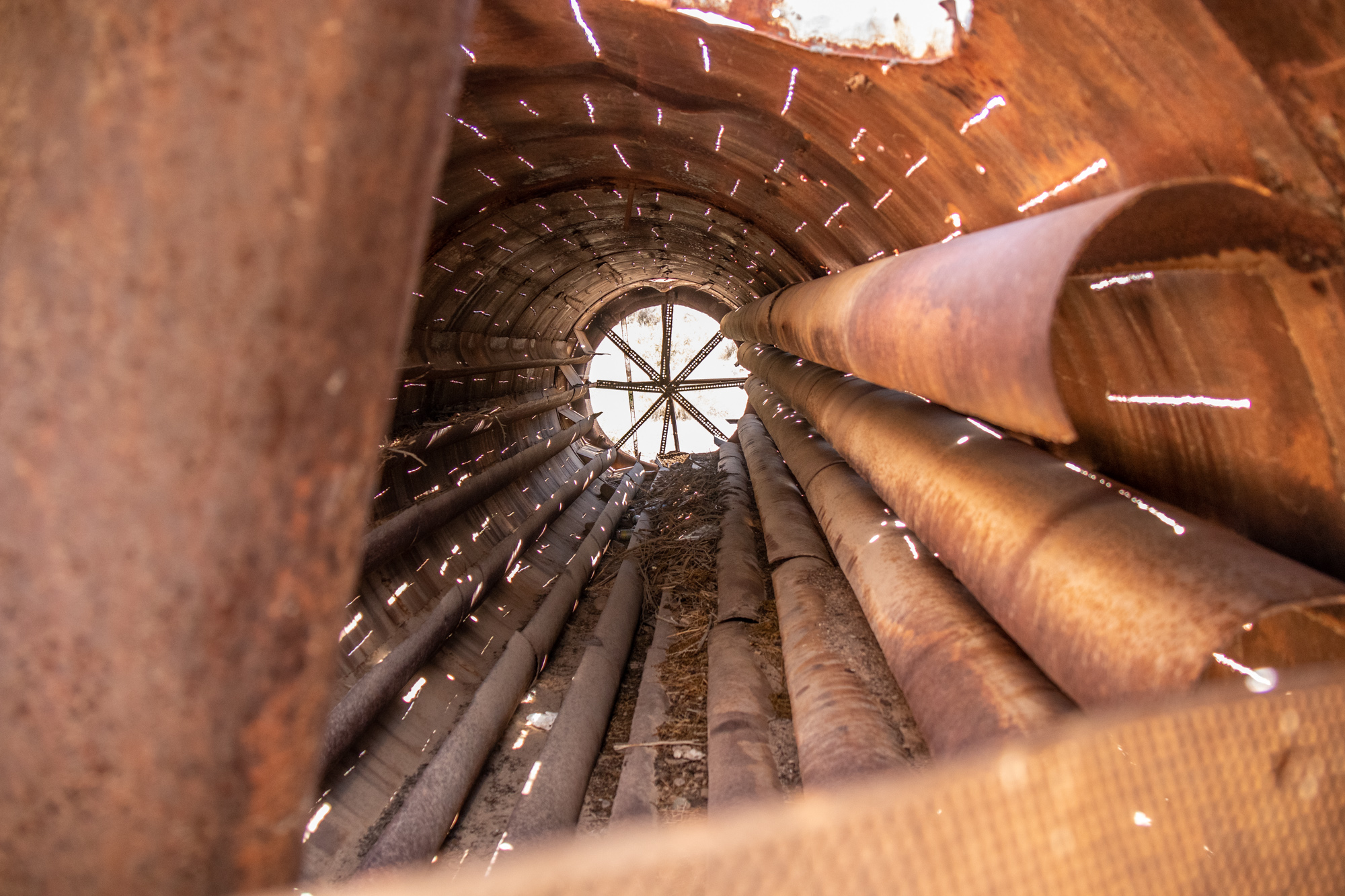
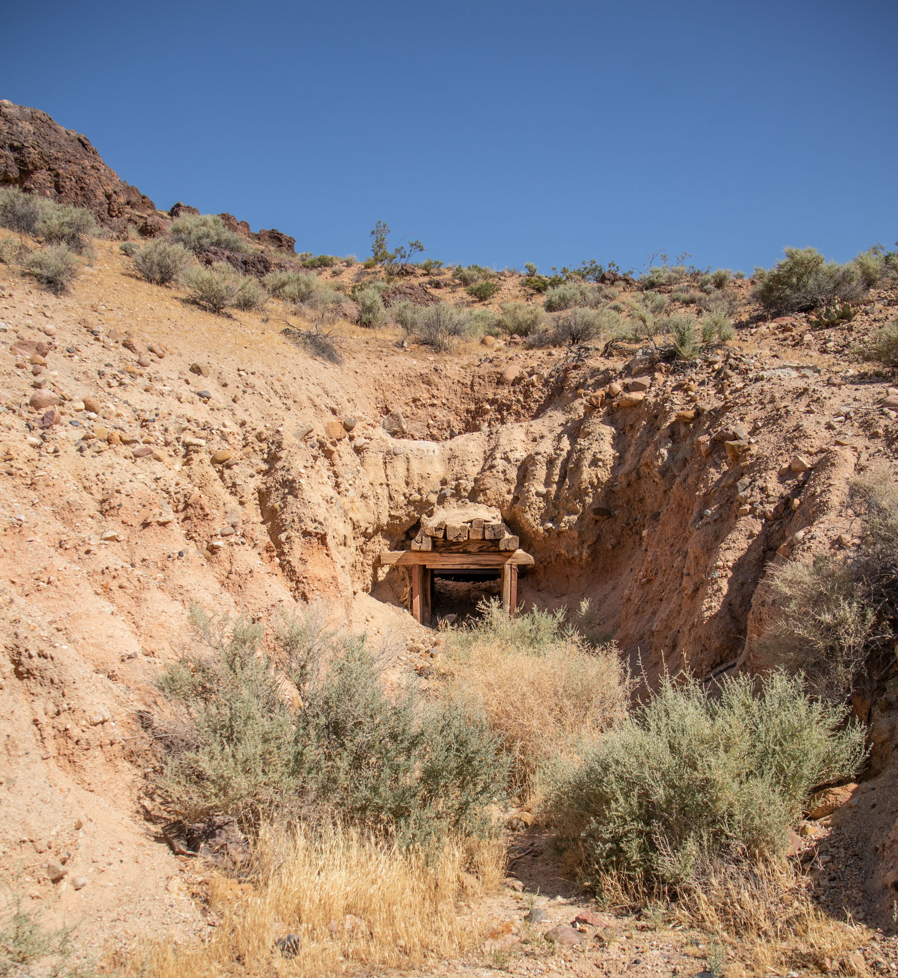
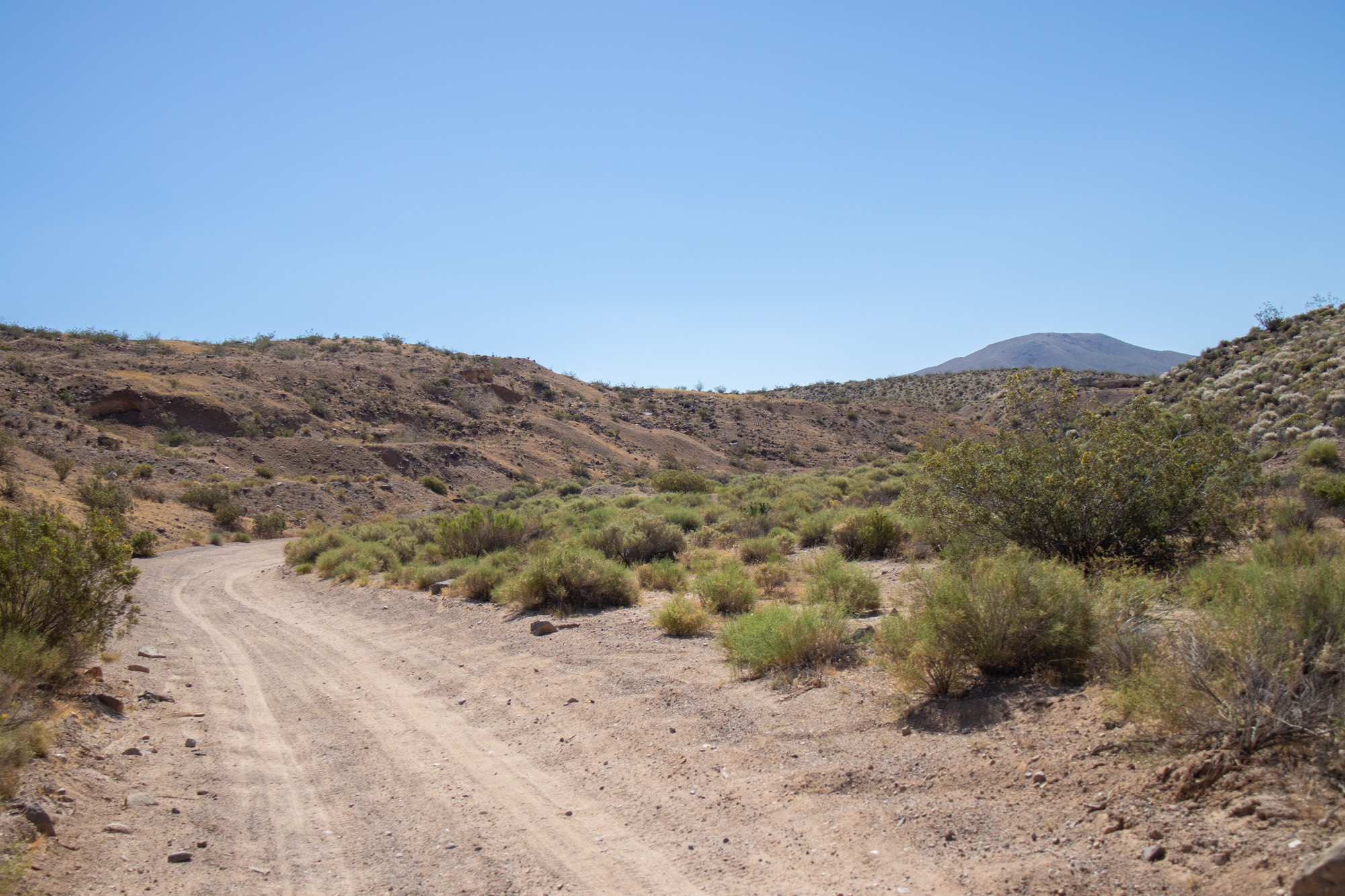
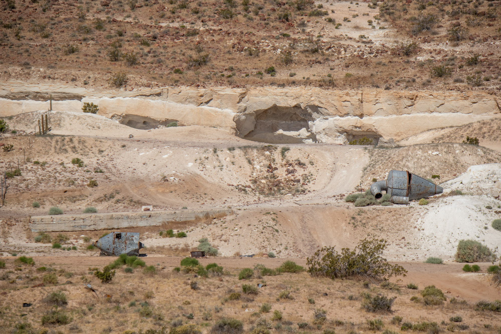
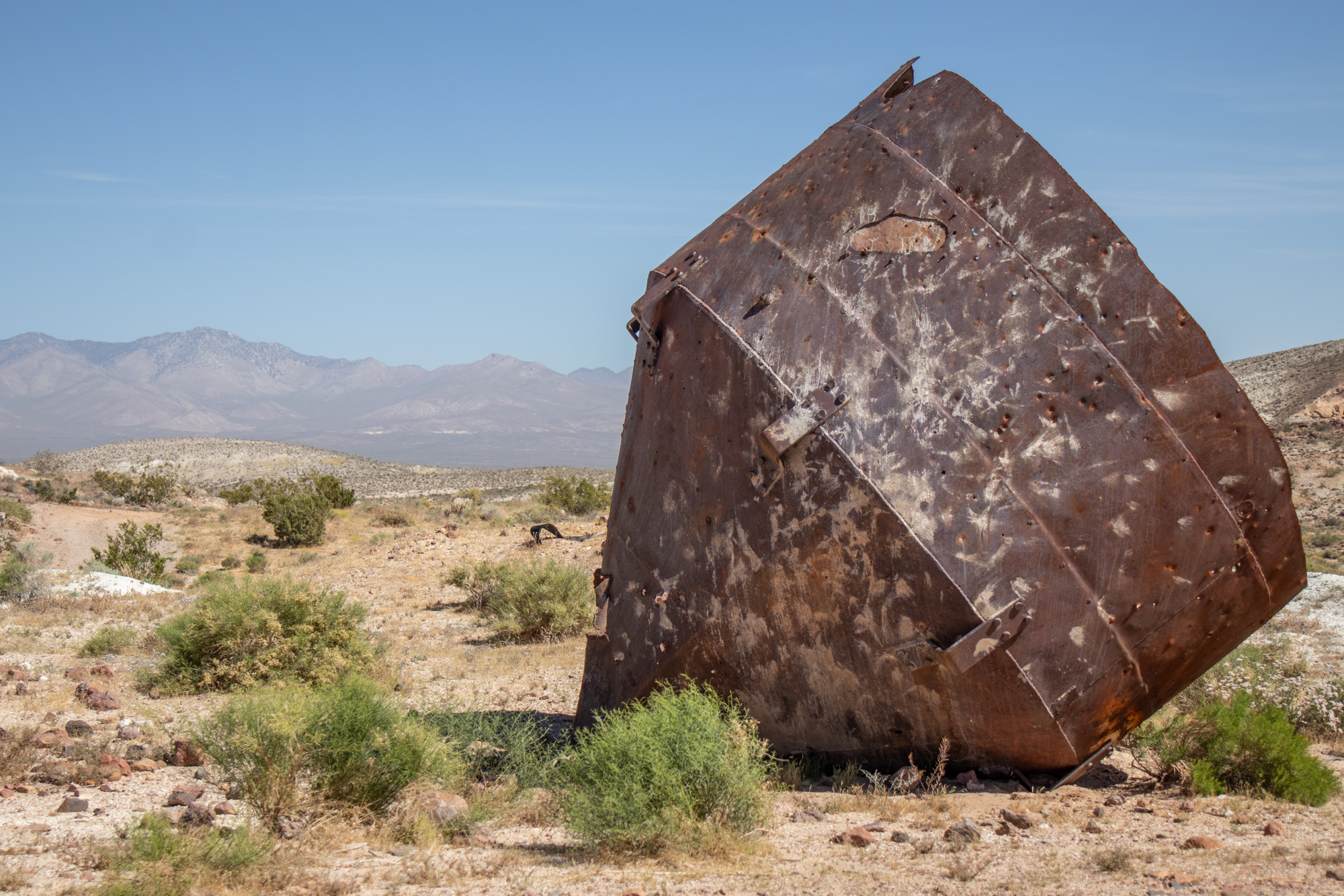
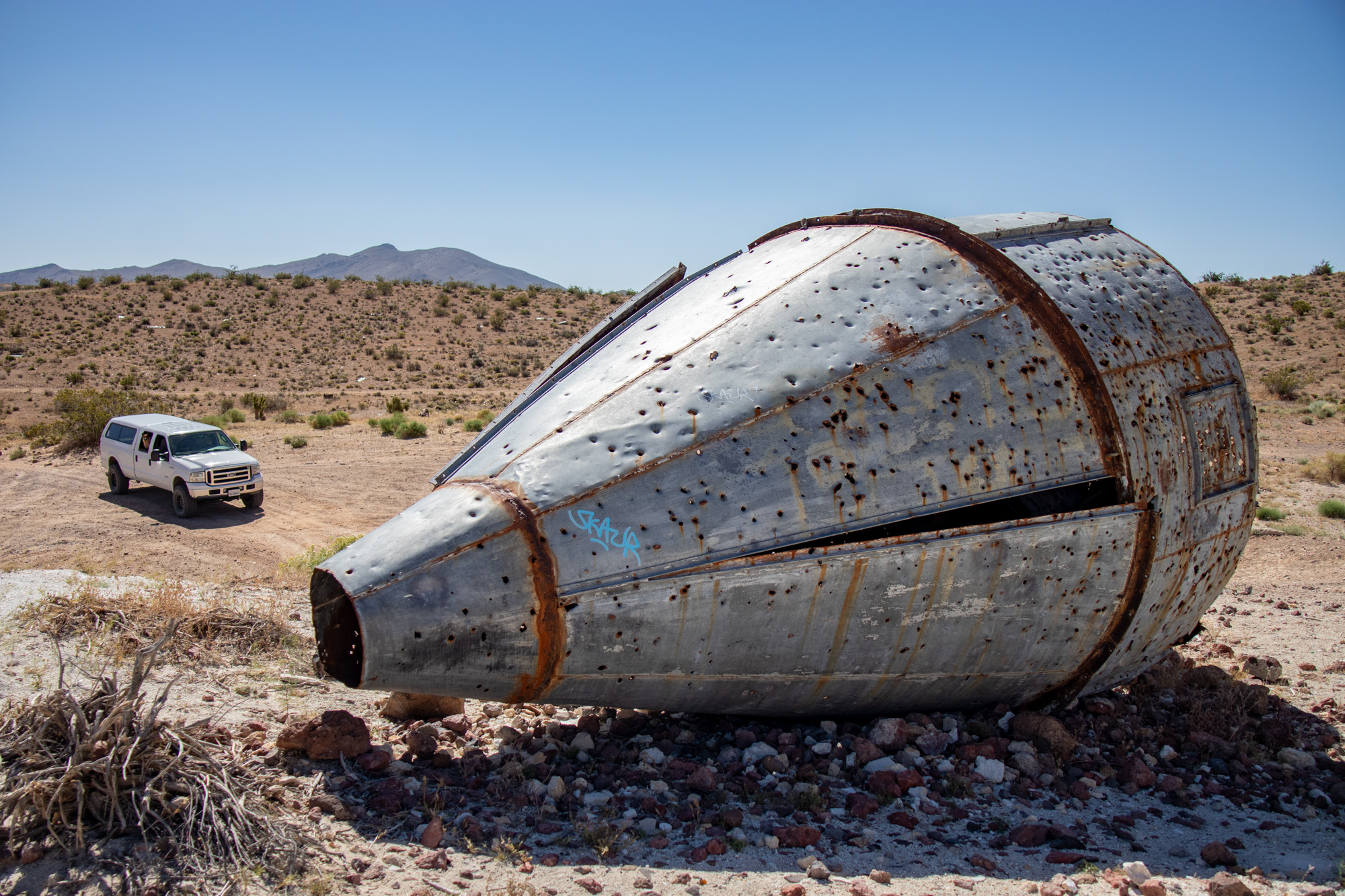
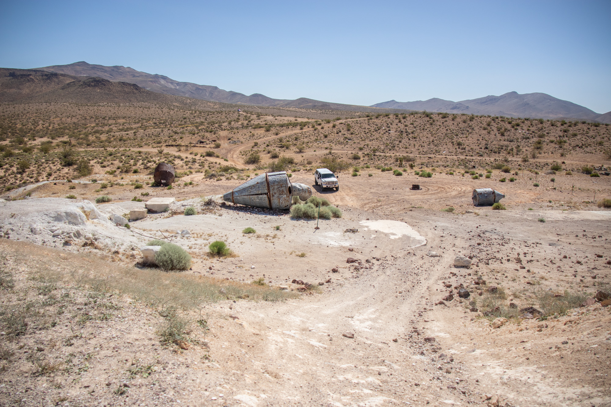
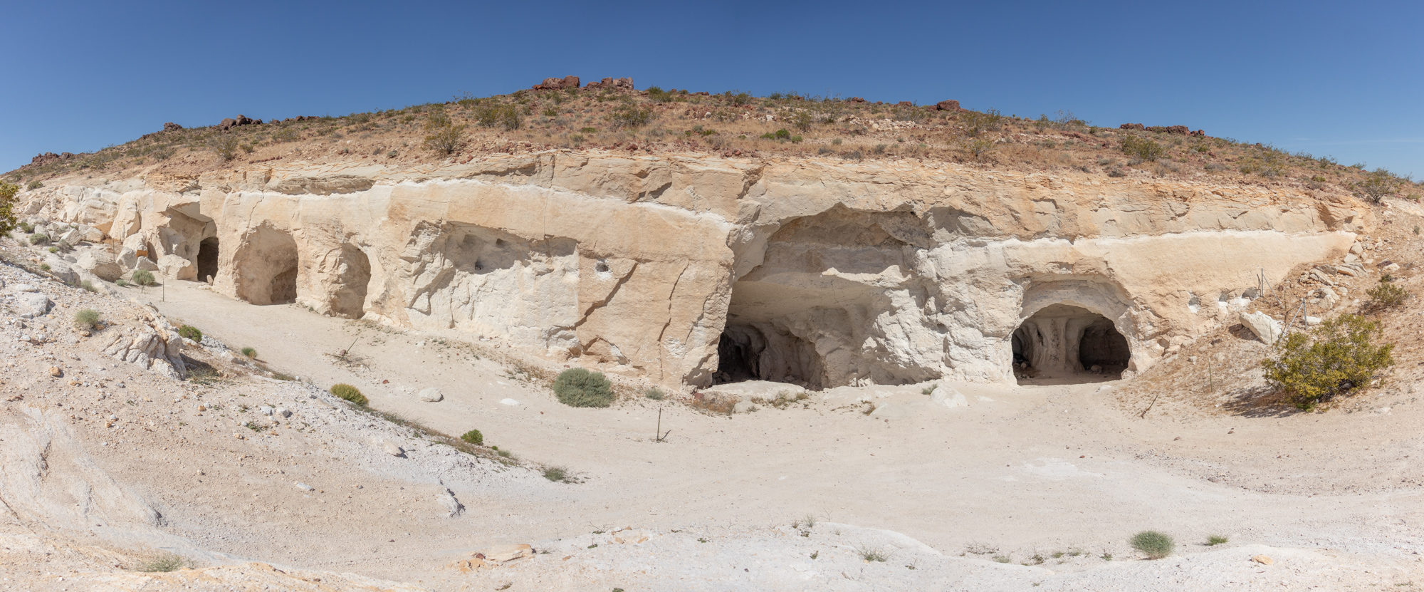
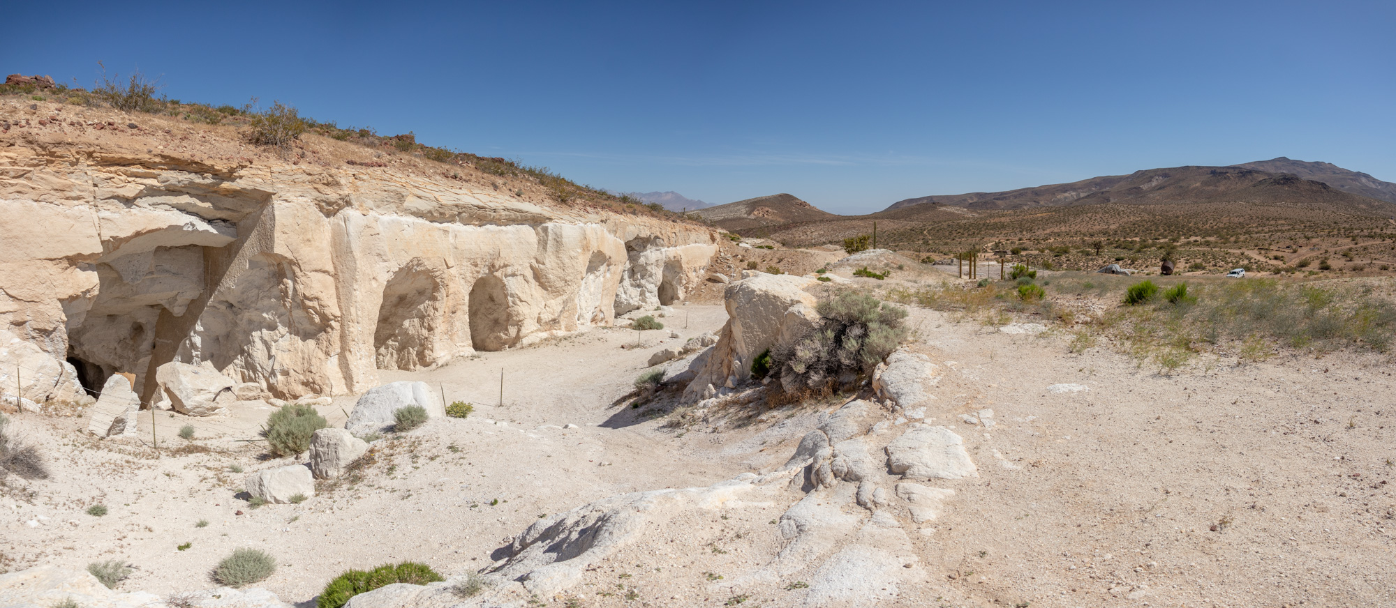
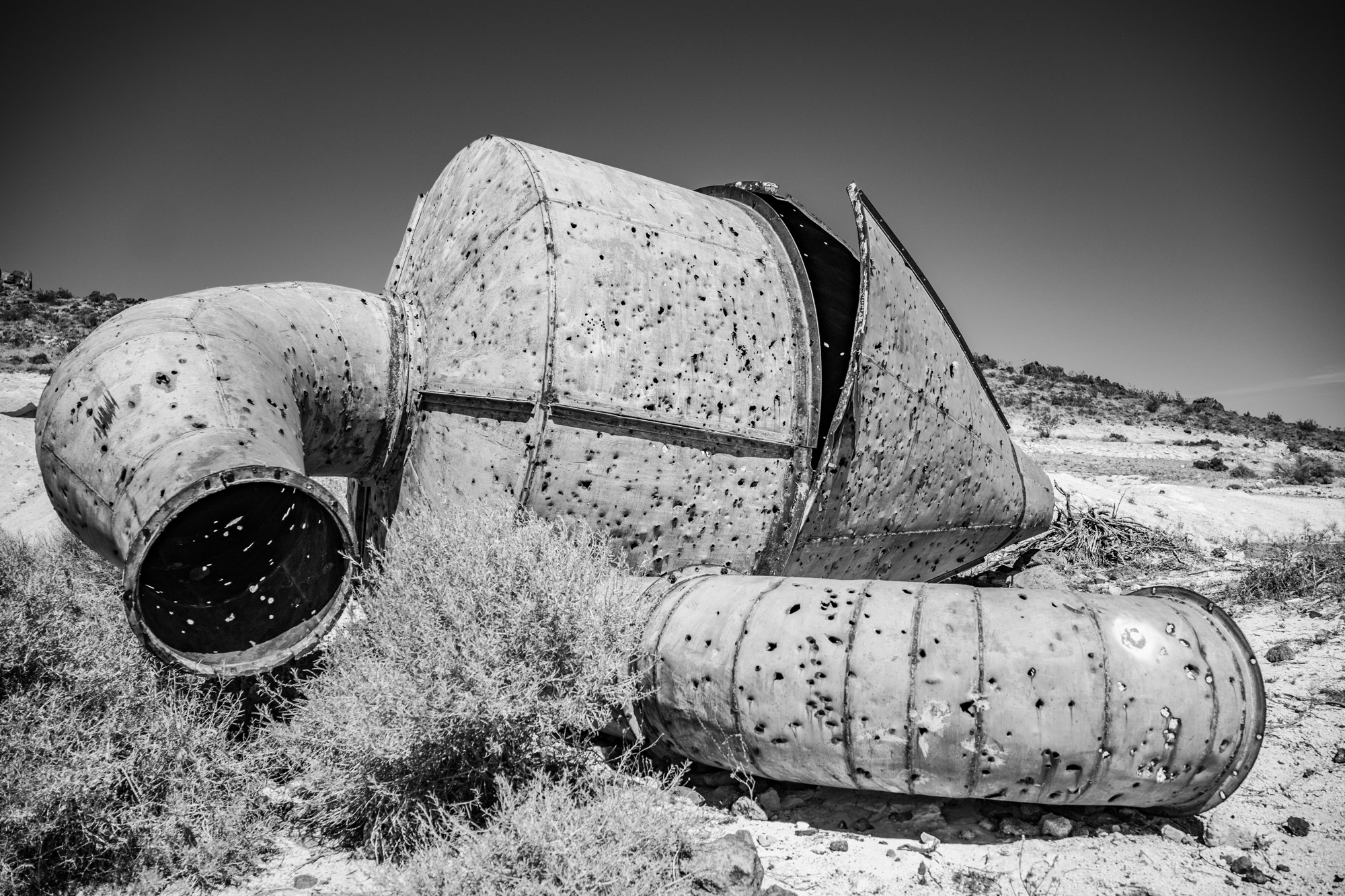
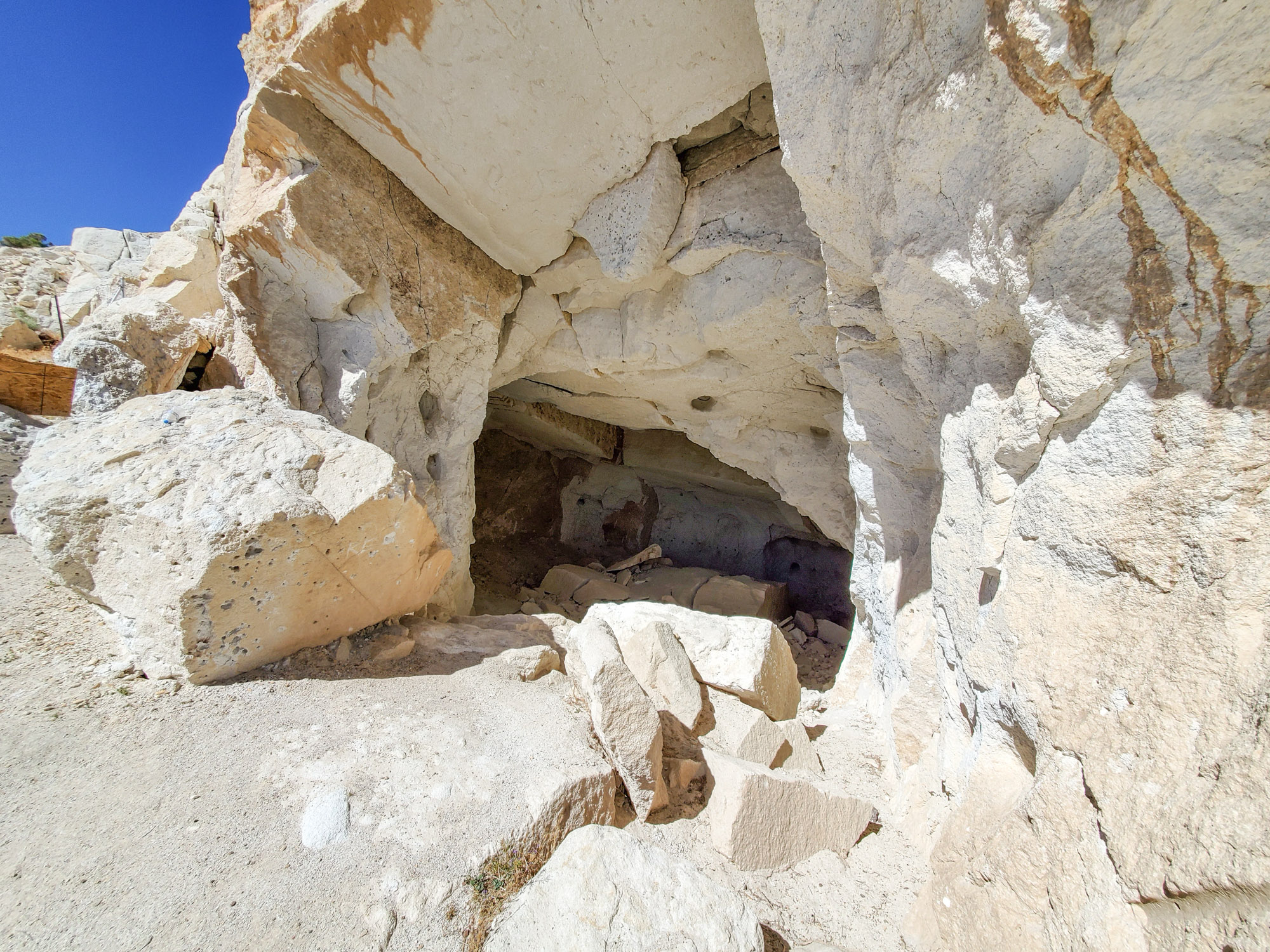
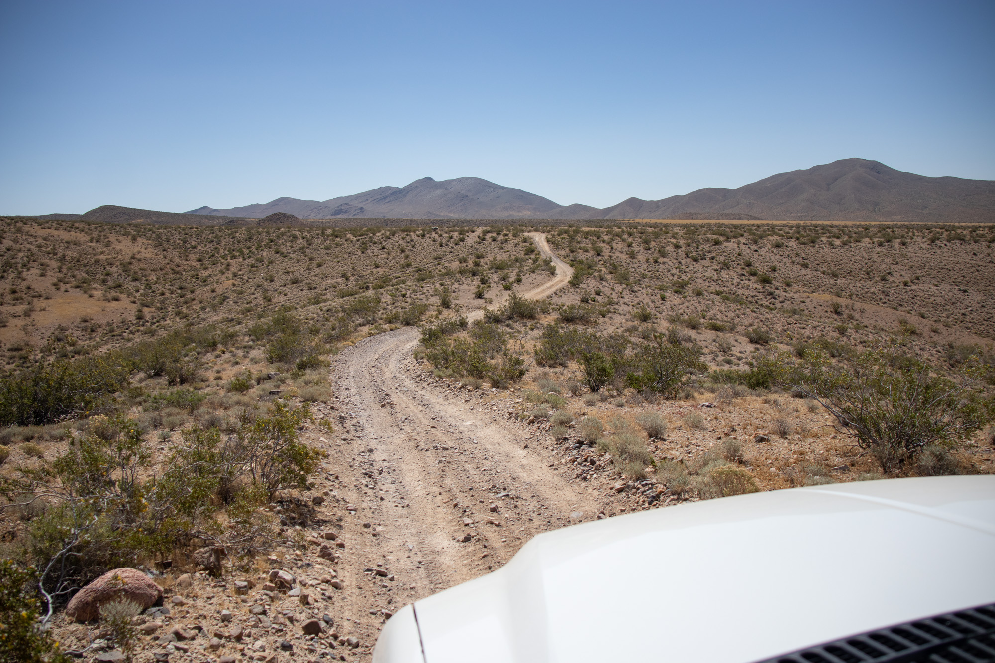
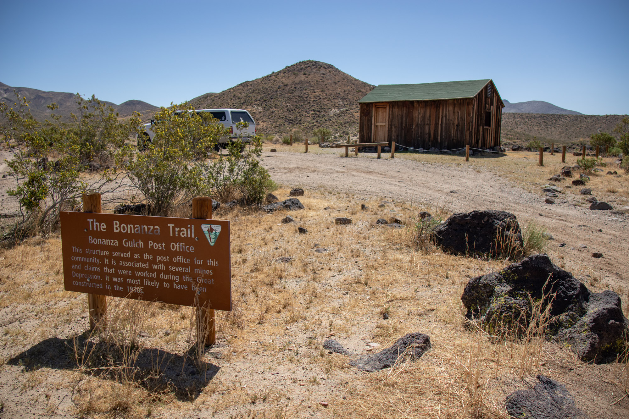
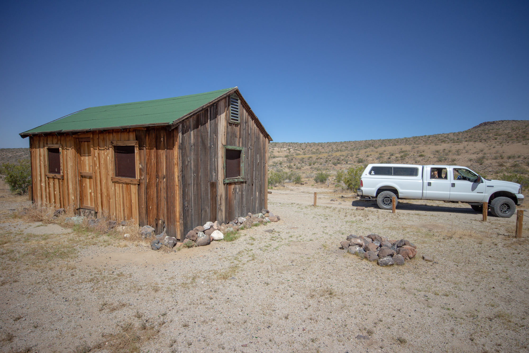
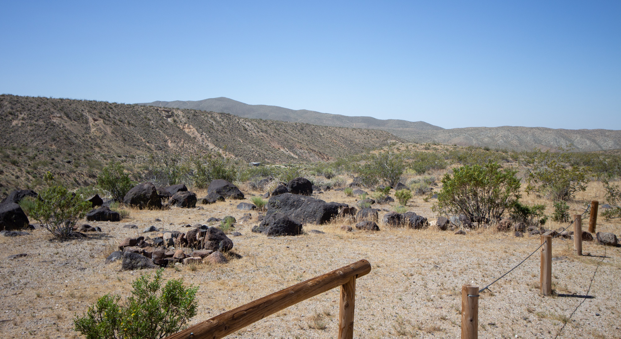
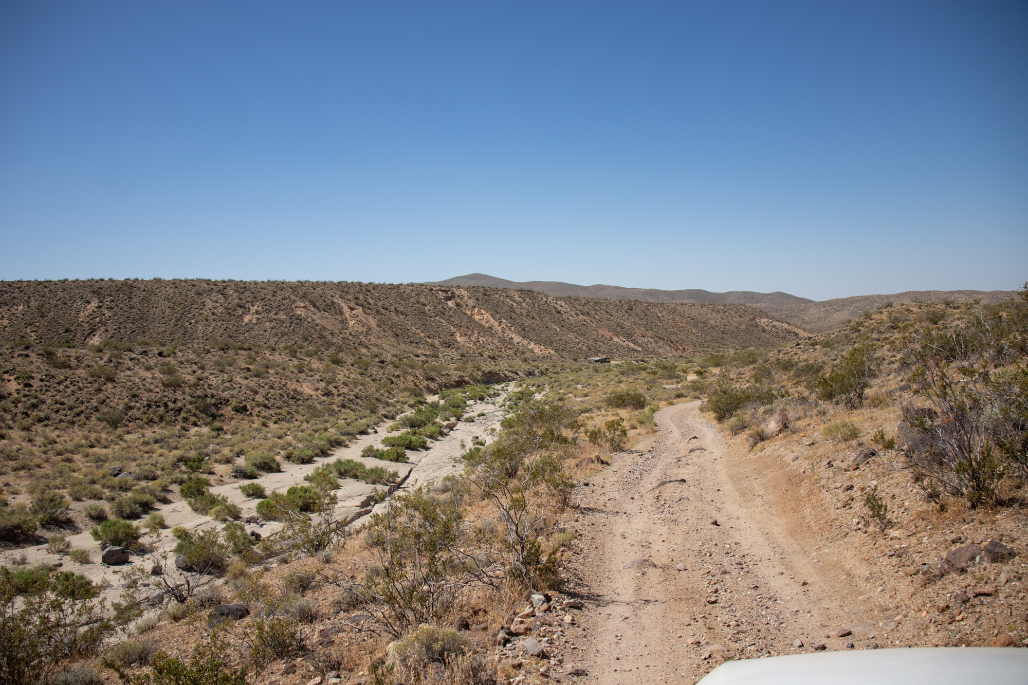
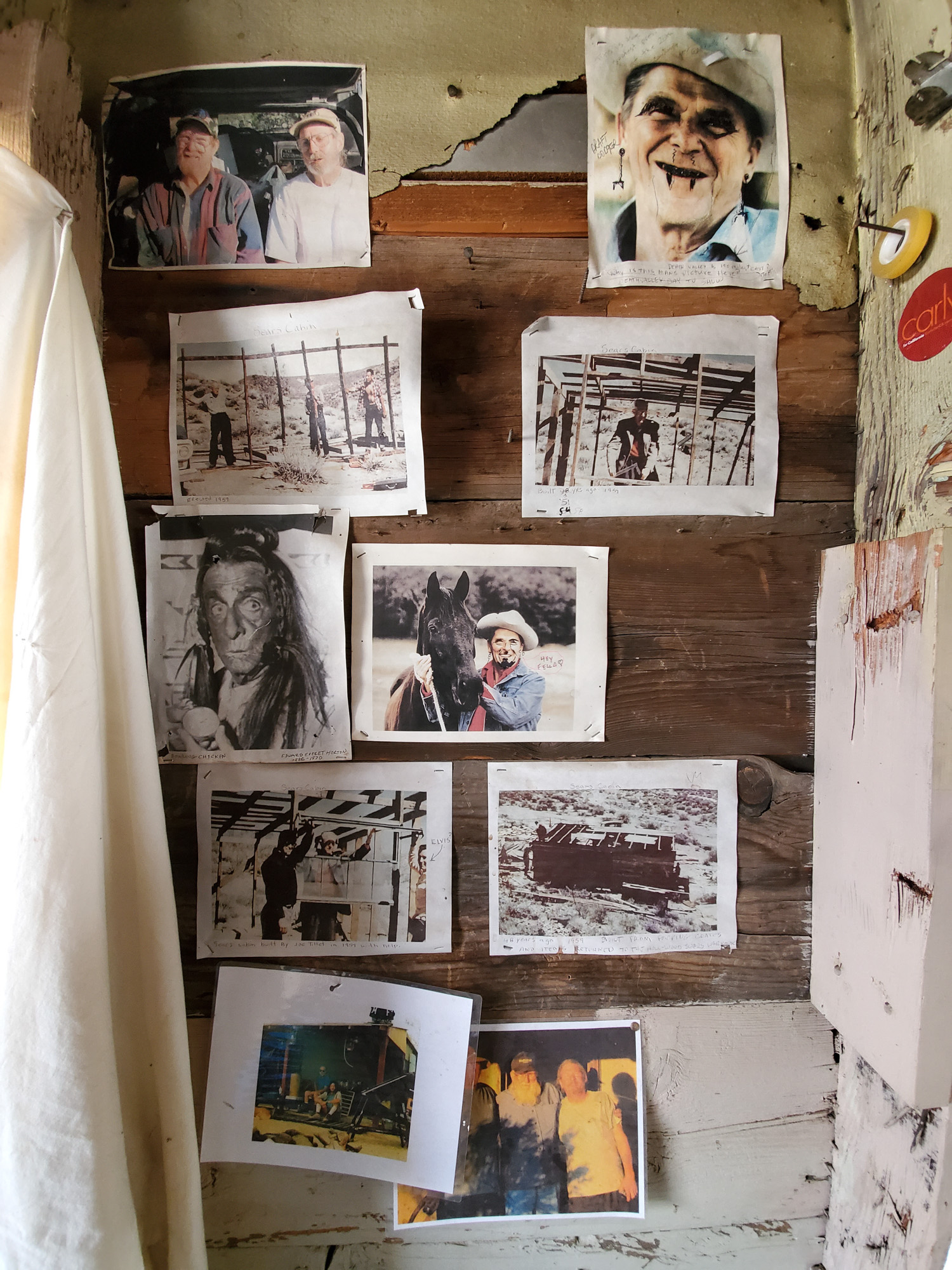
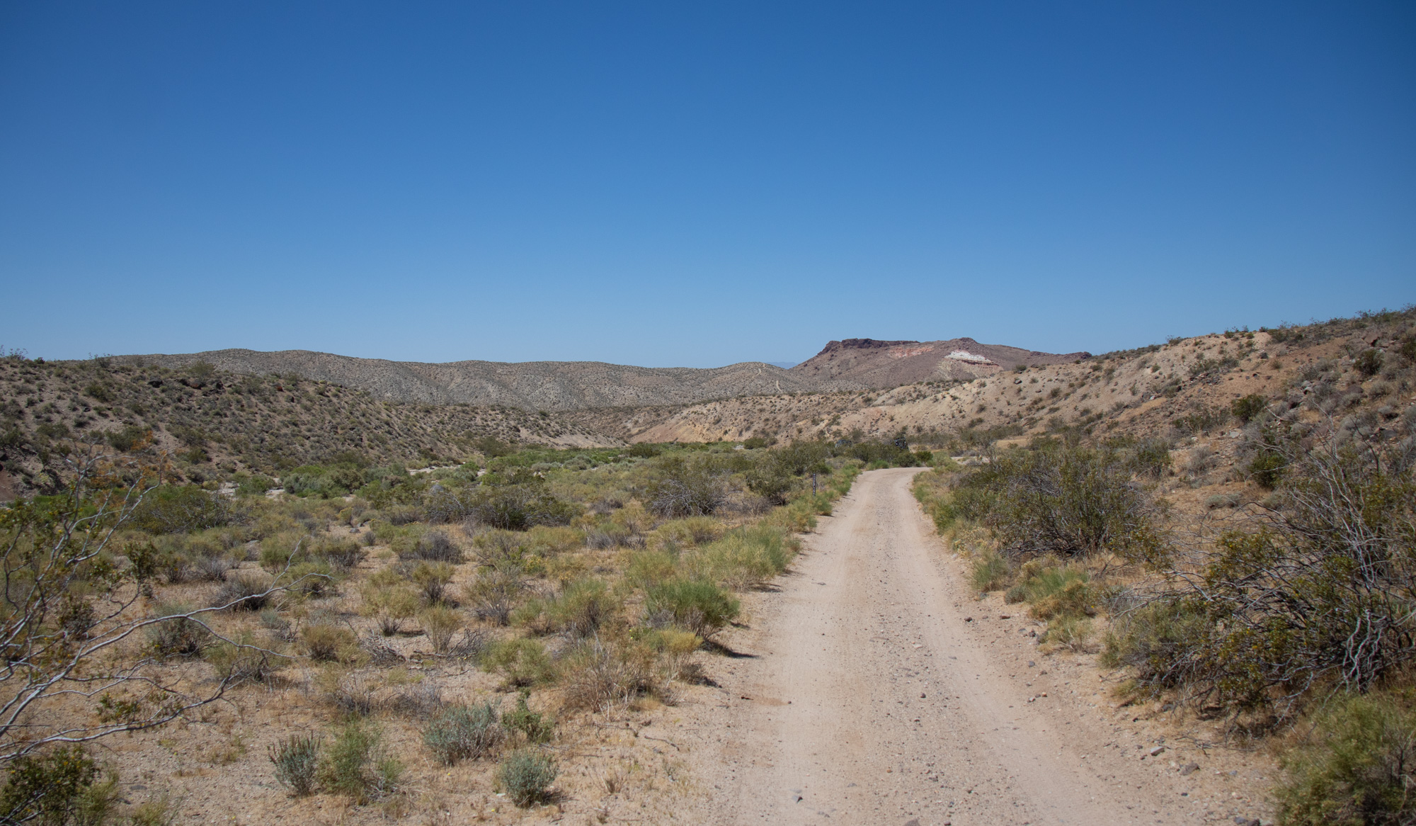
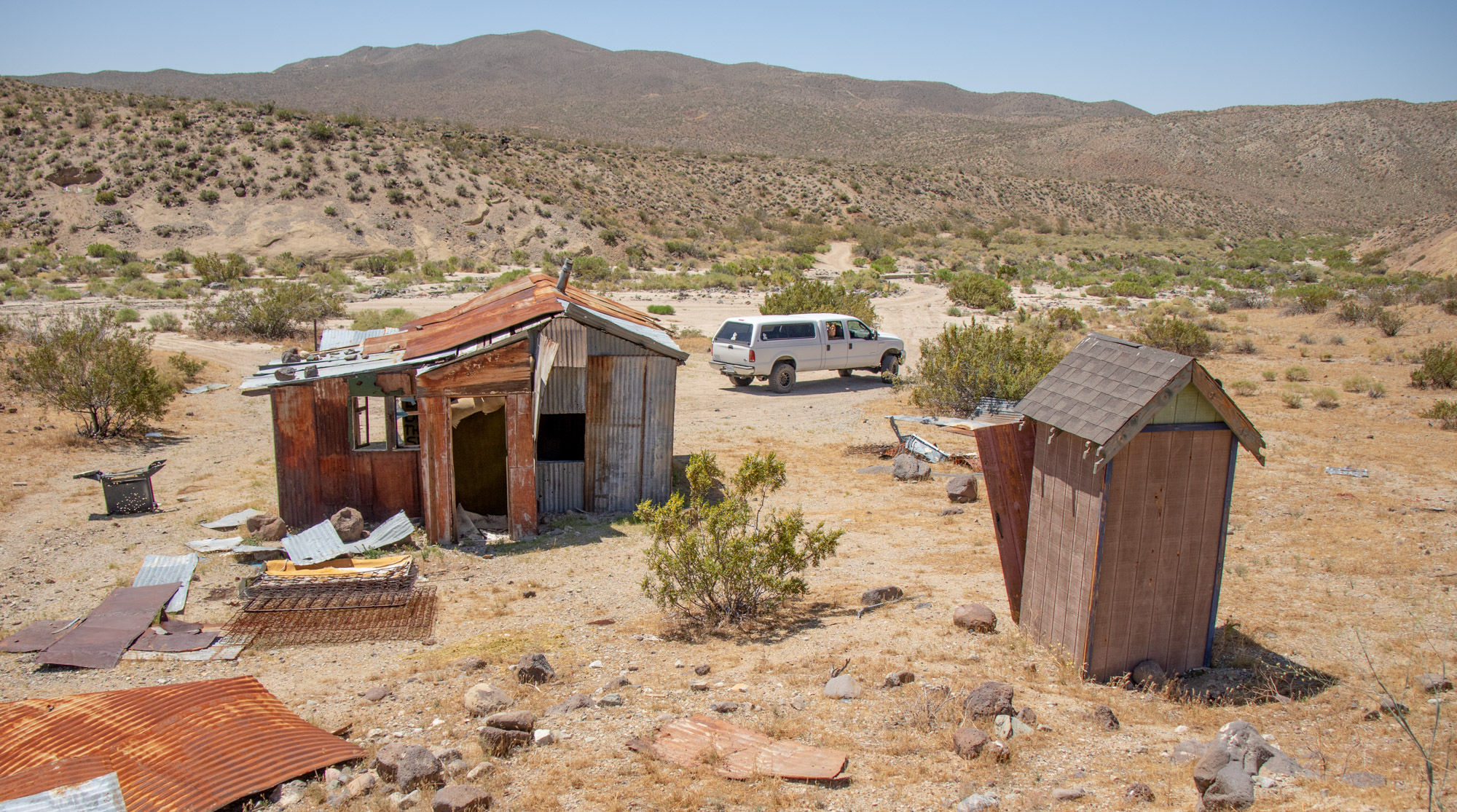
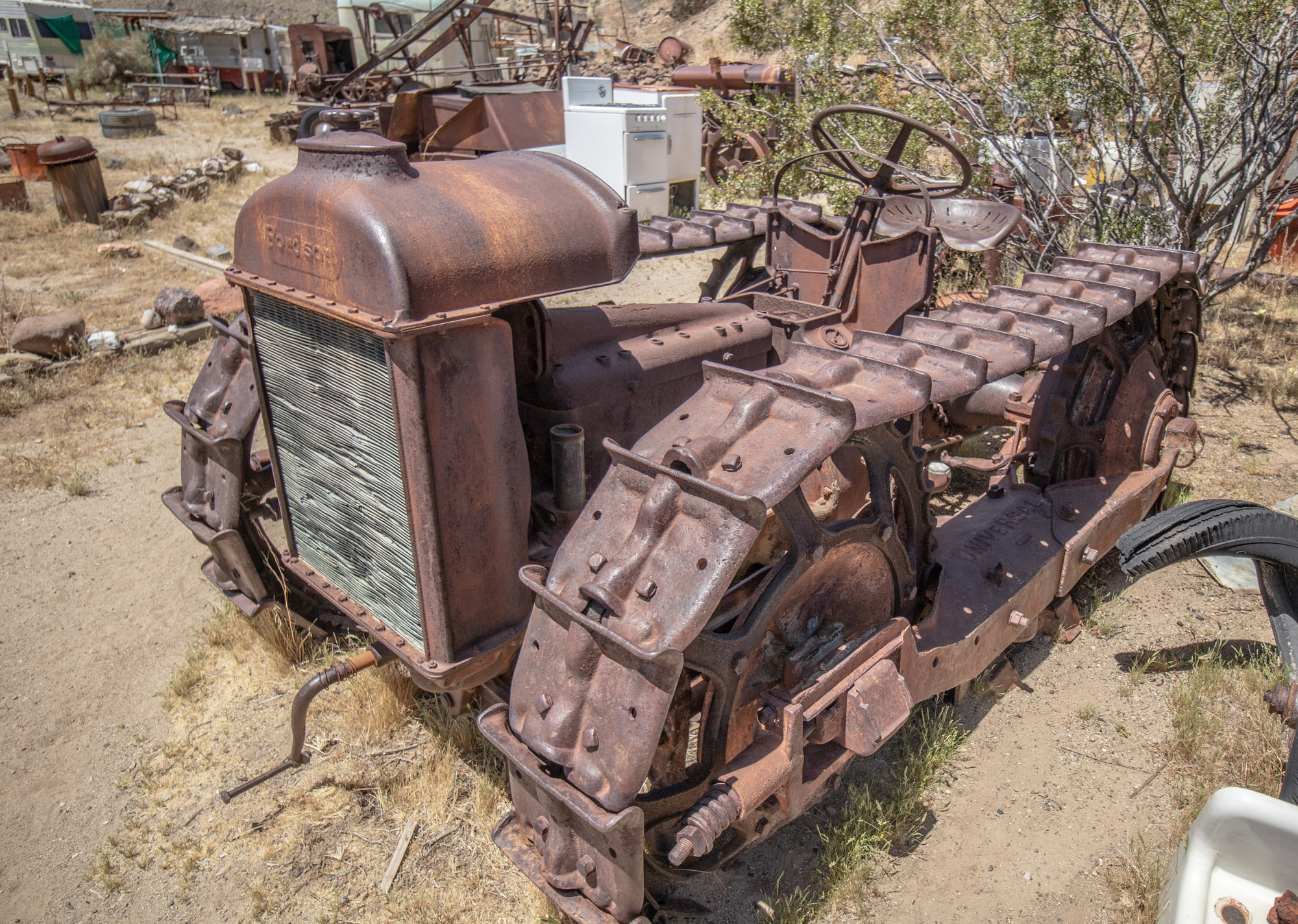
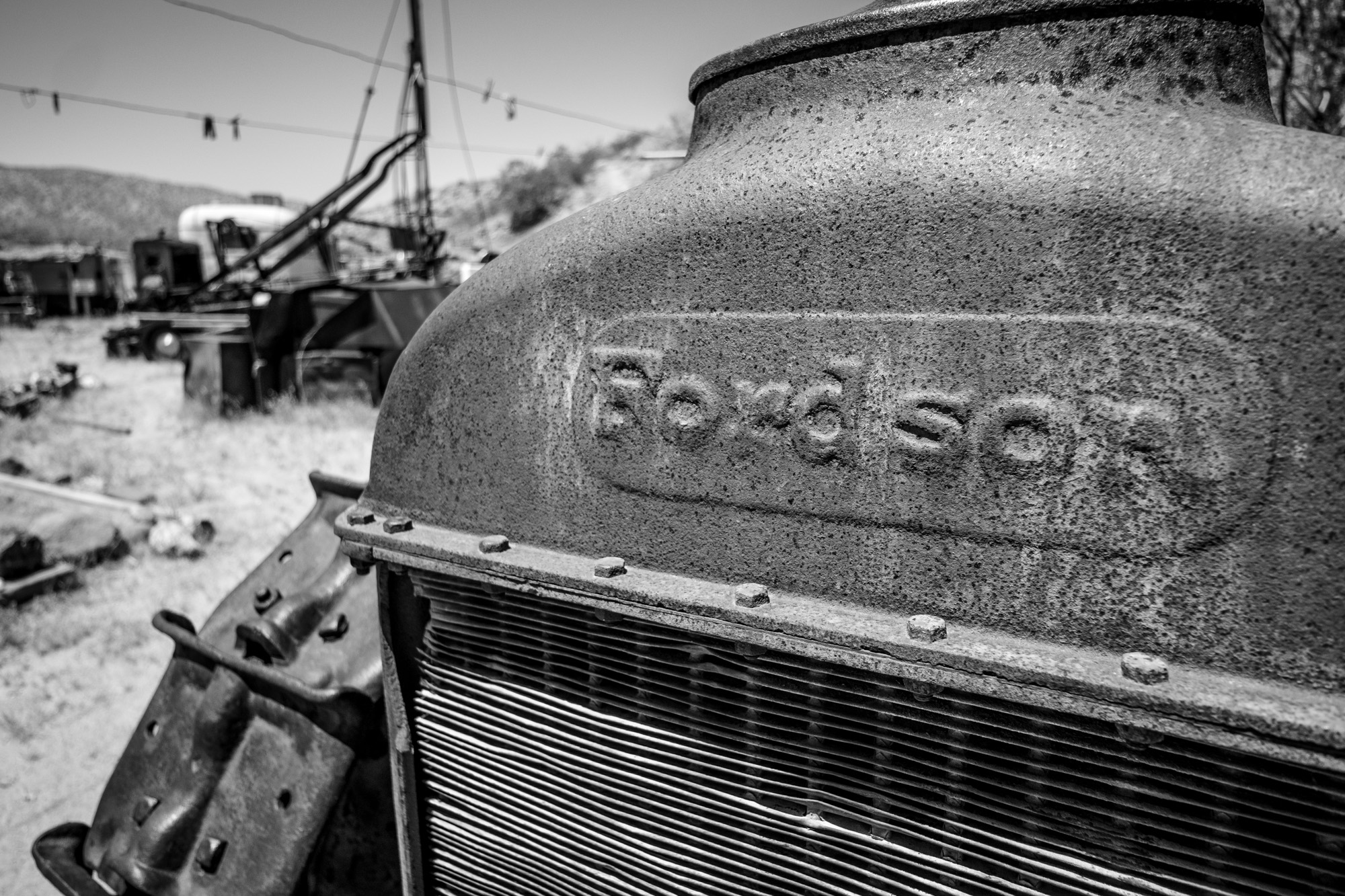
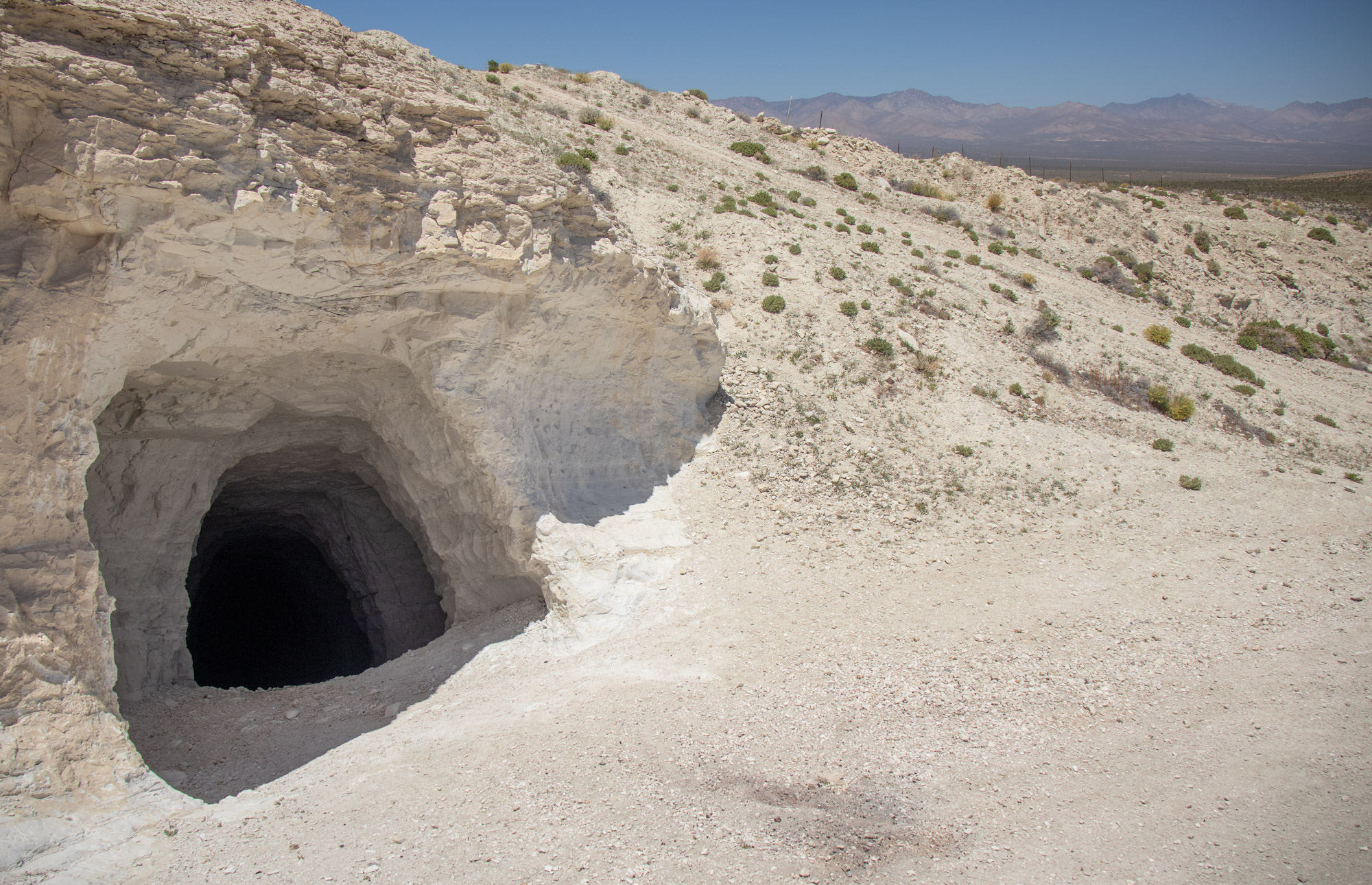
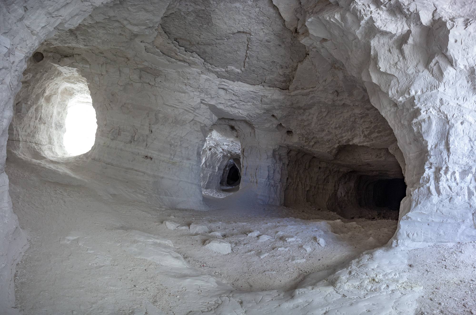
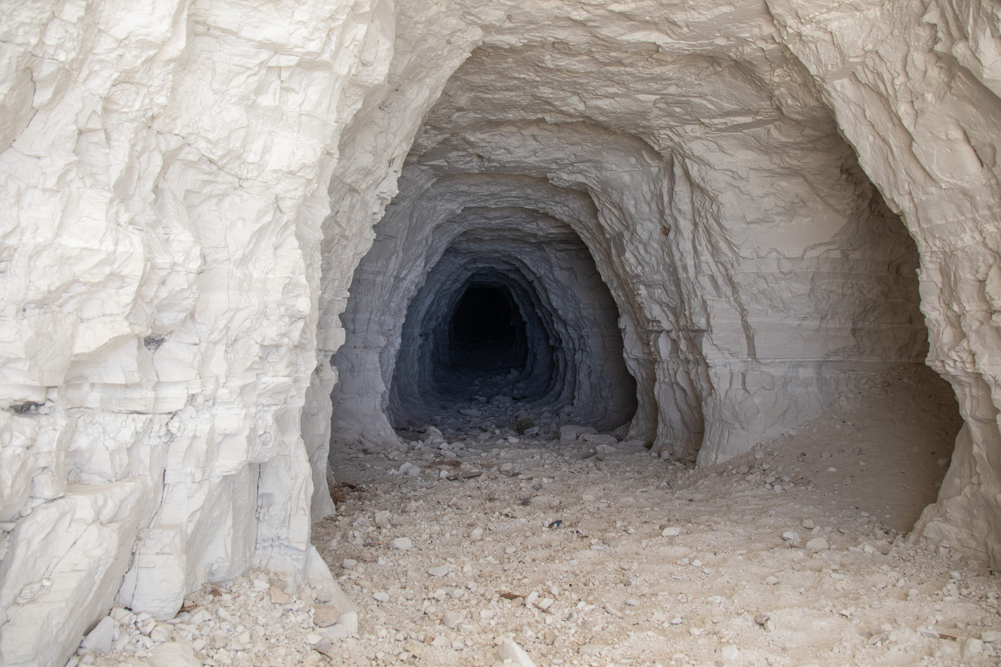
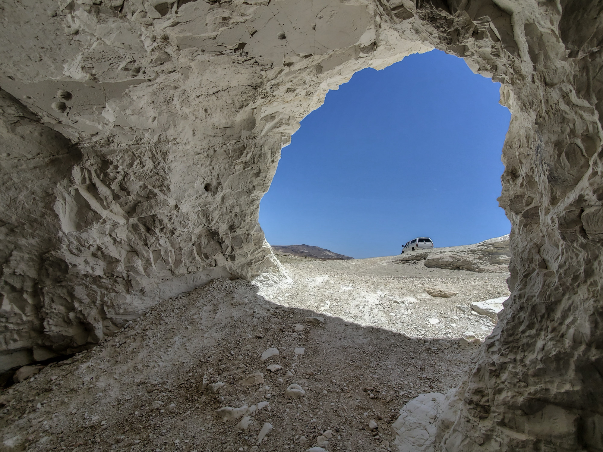
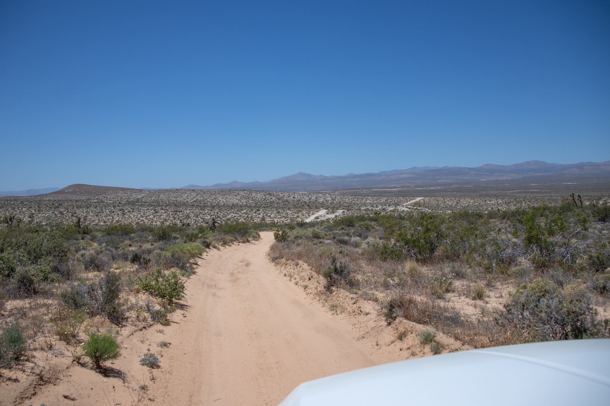
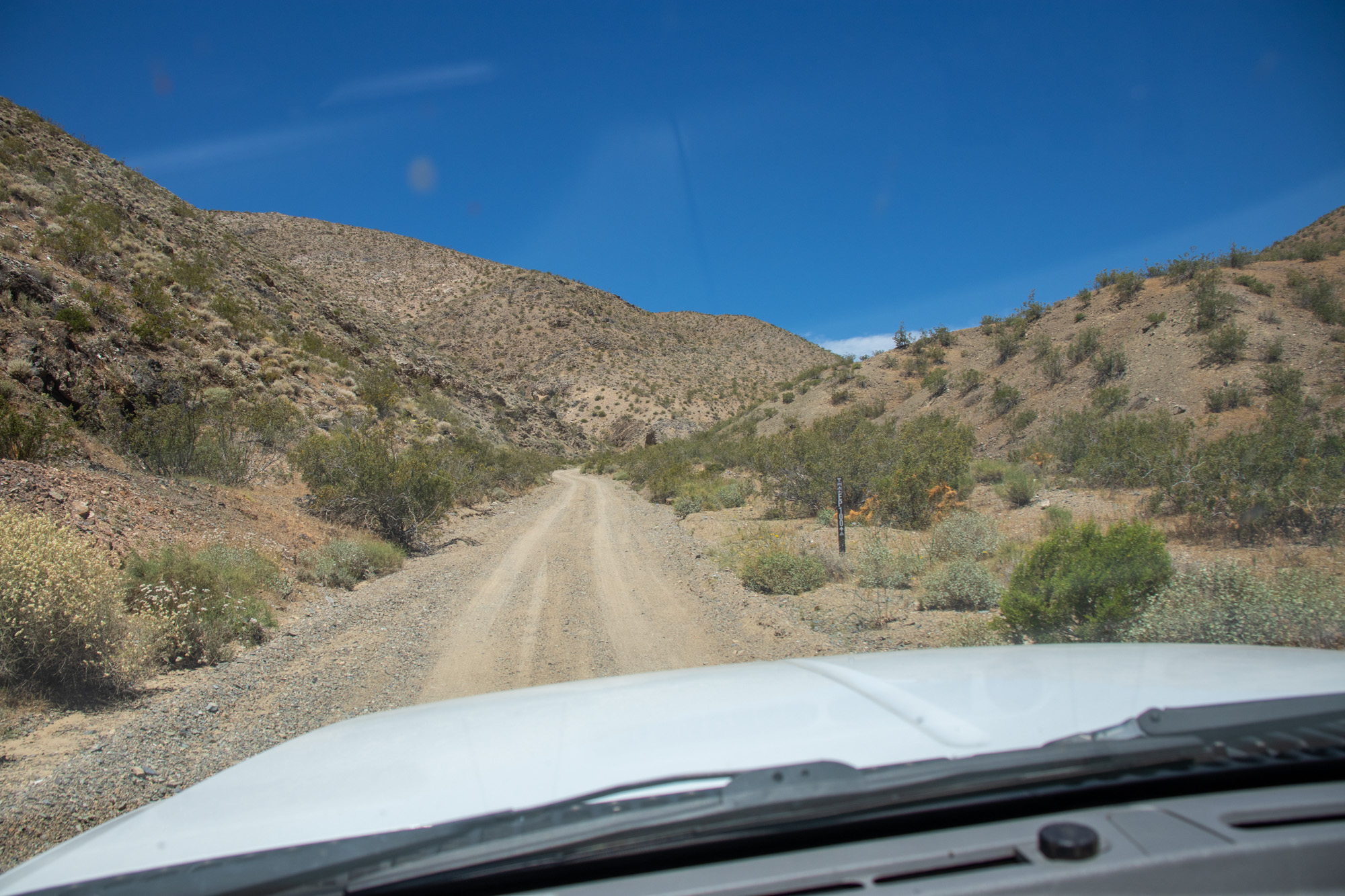
As I said, Mesquite Canyon is easy and a quick way to get into the area. Basic dirt trail with a few mines to see along the way.

IMG_6700.jpg


IMG_6698.jpg


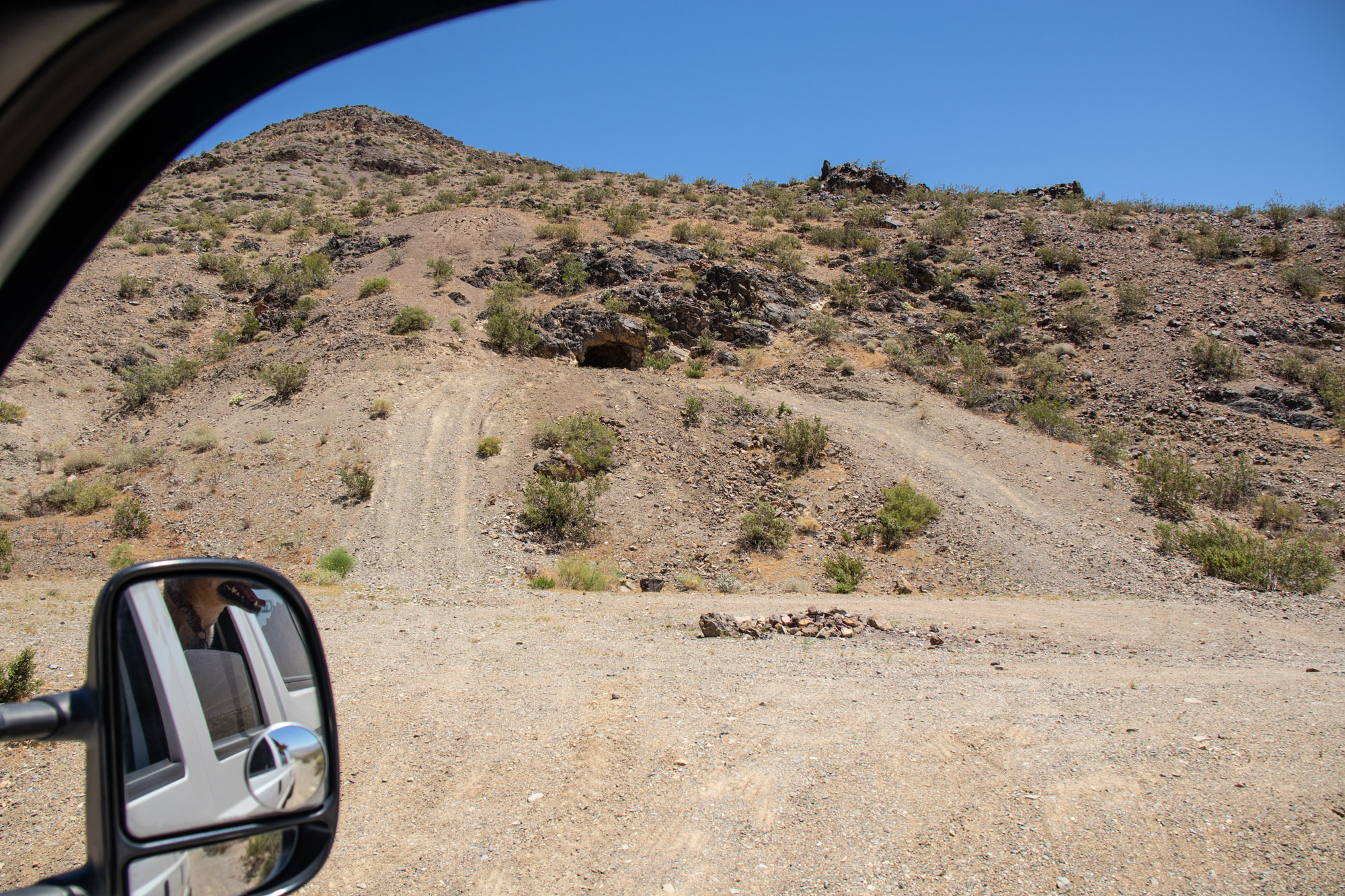
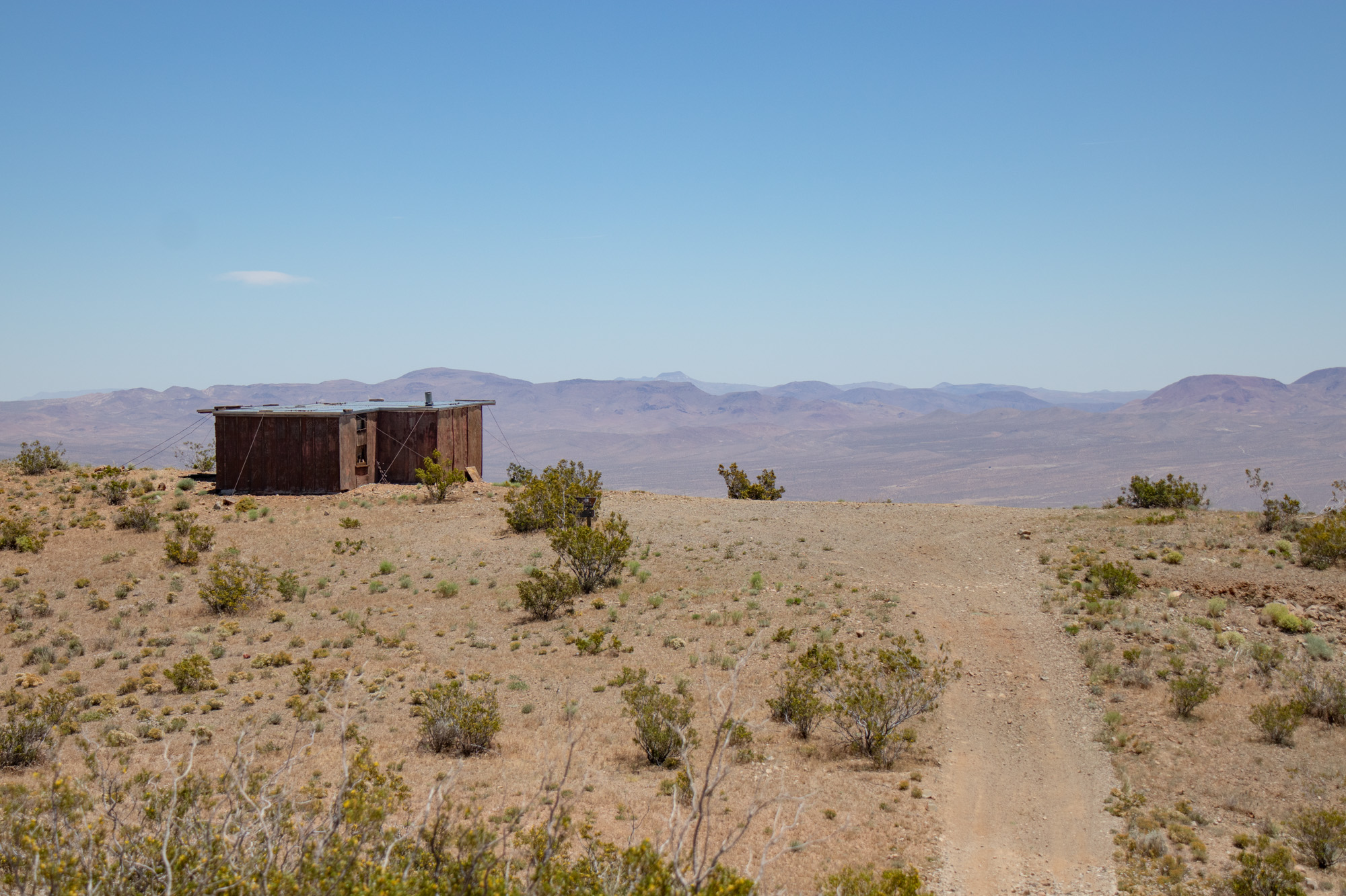
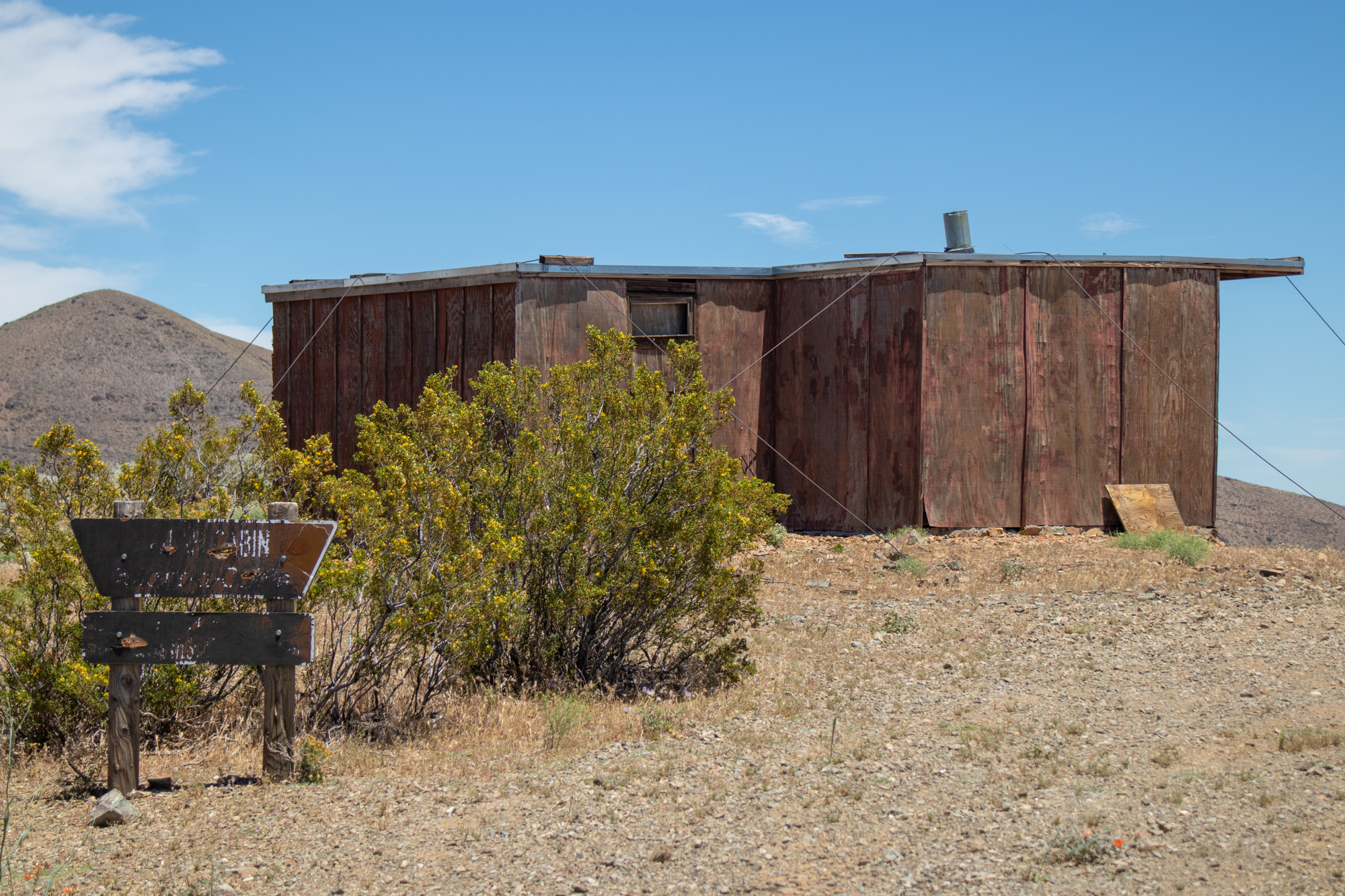
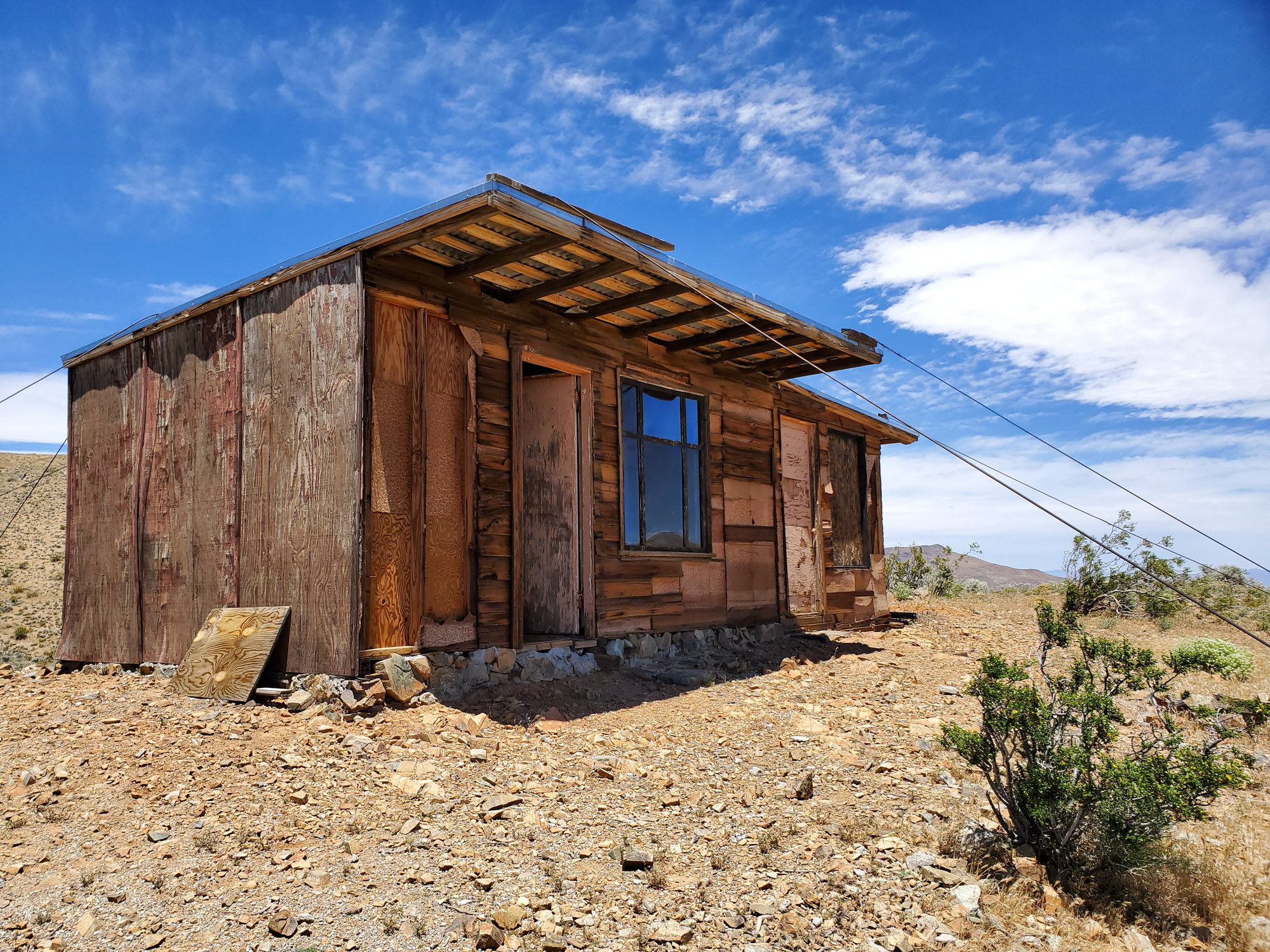
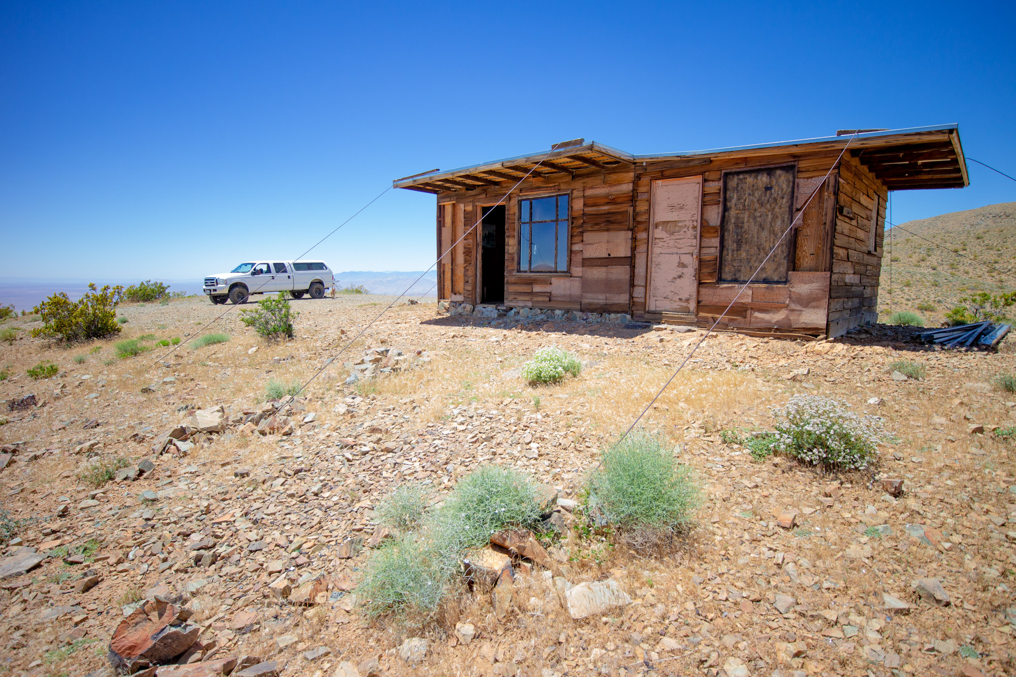
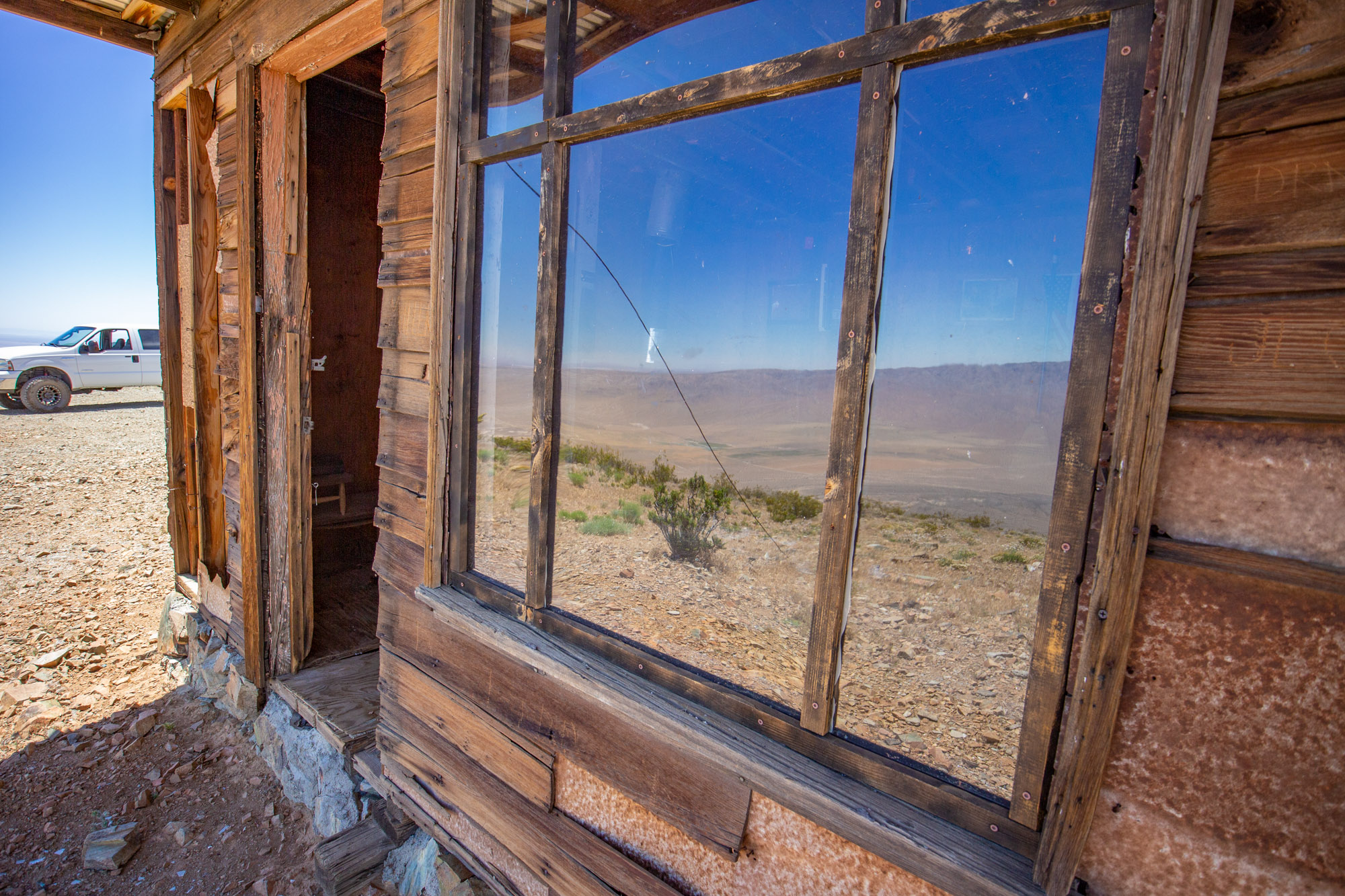
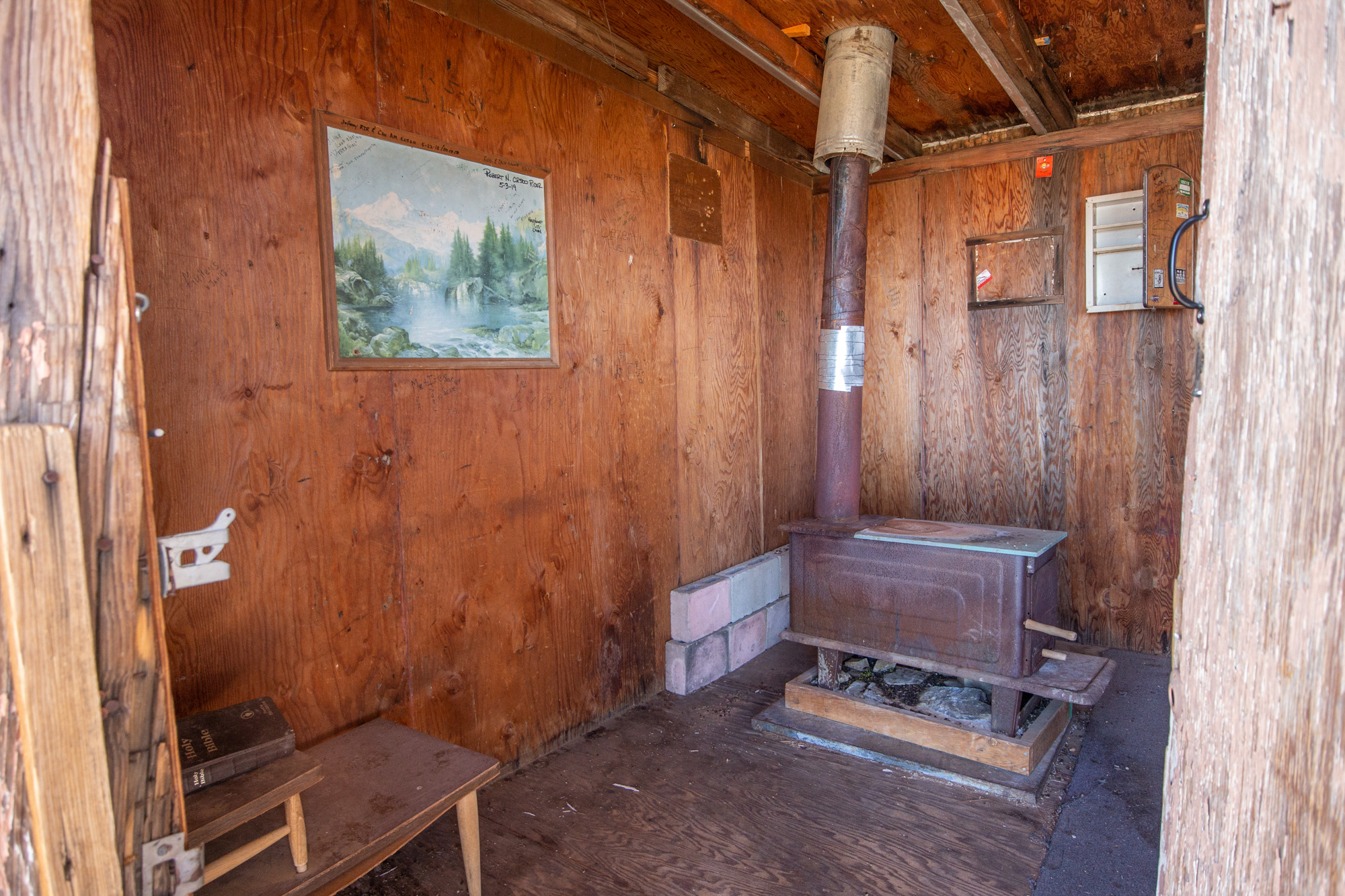
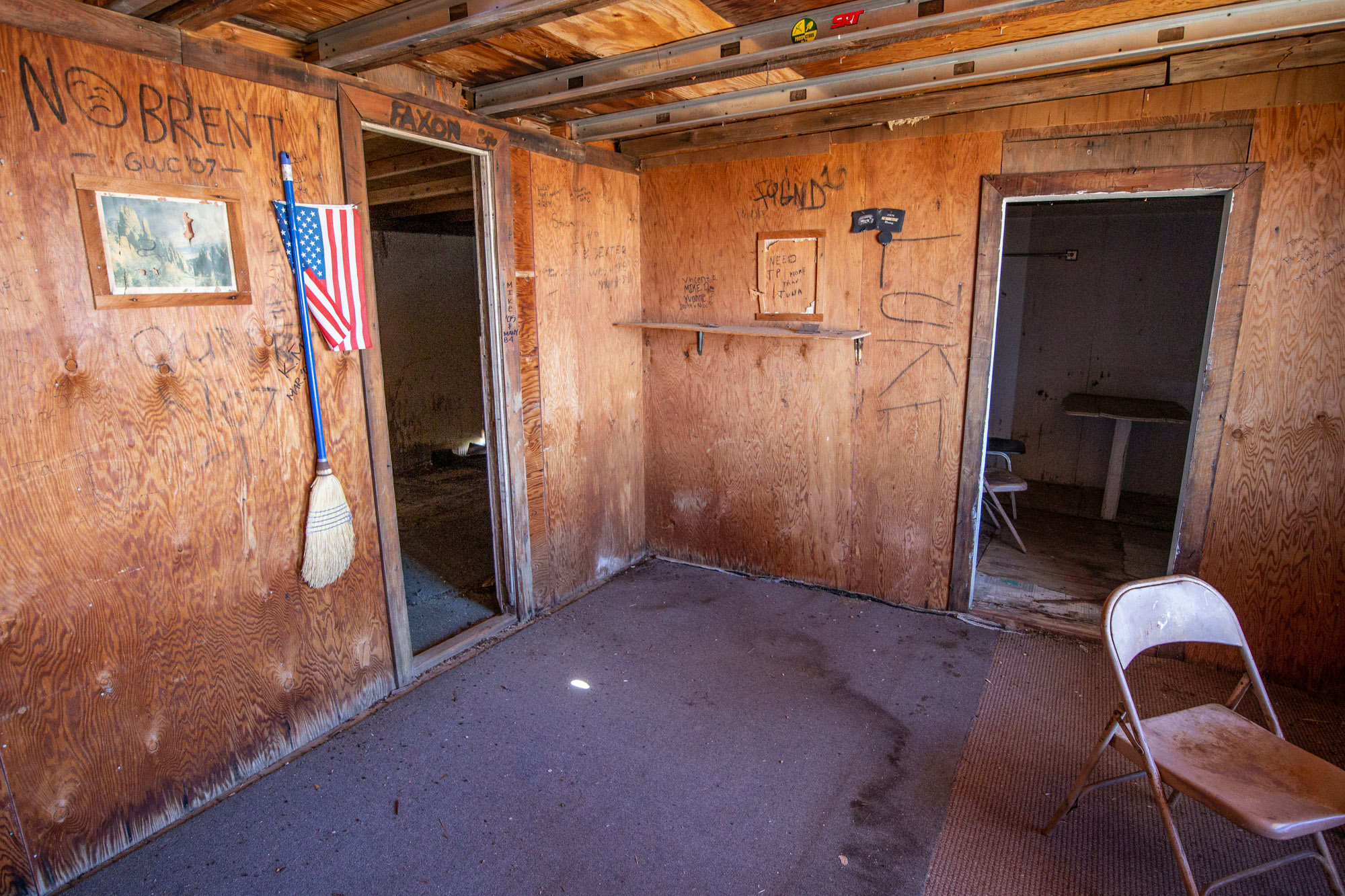
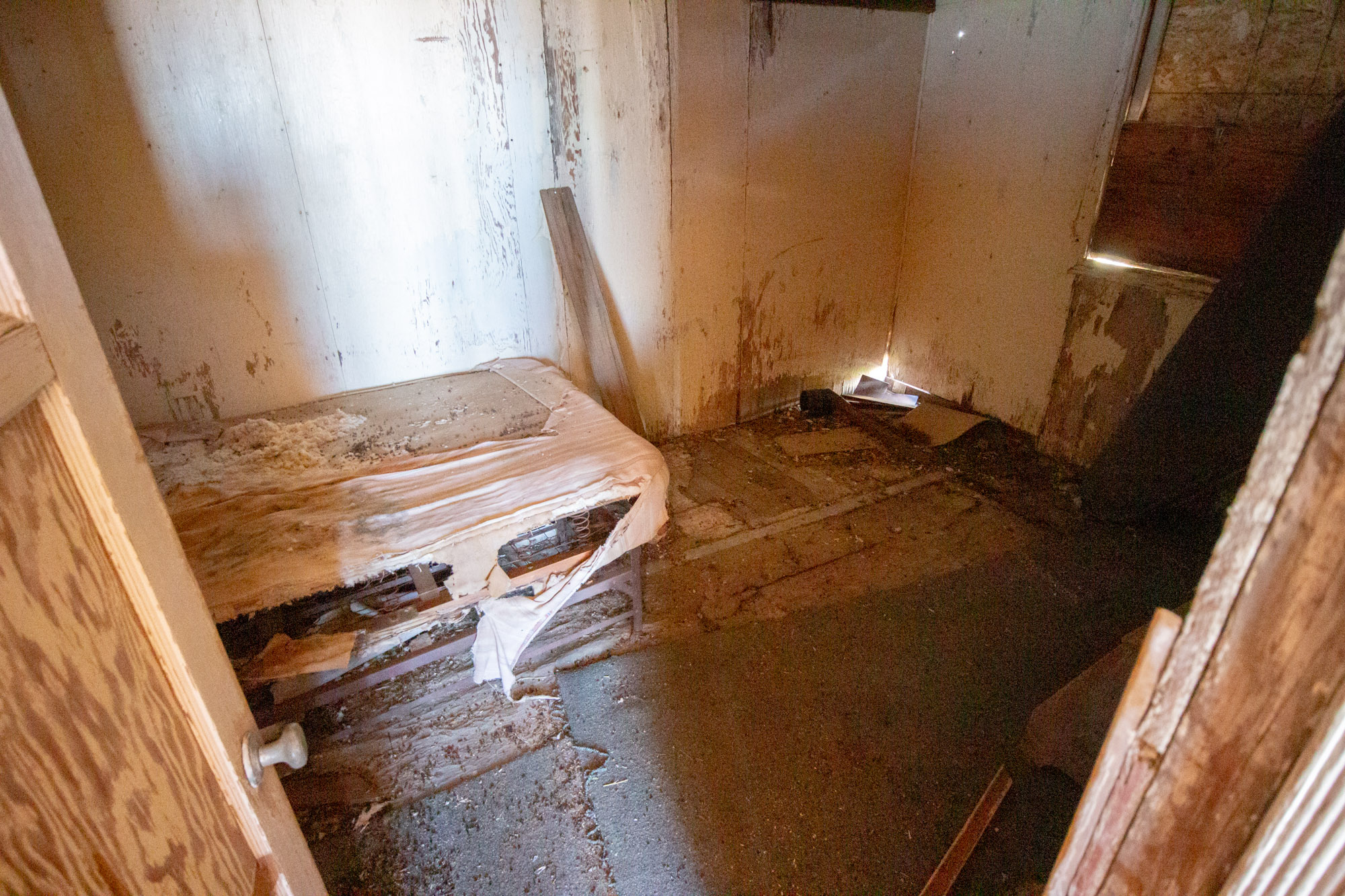
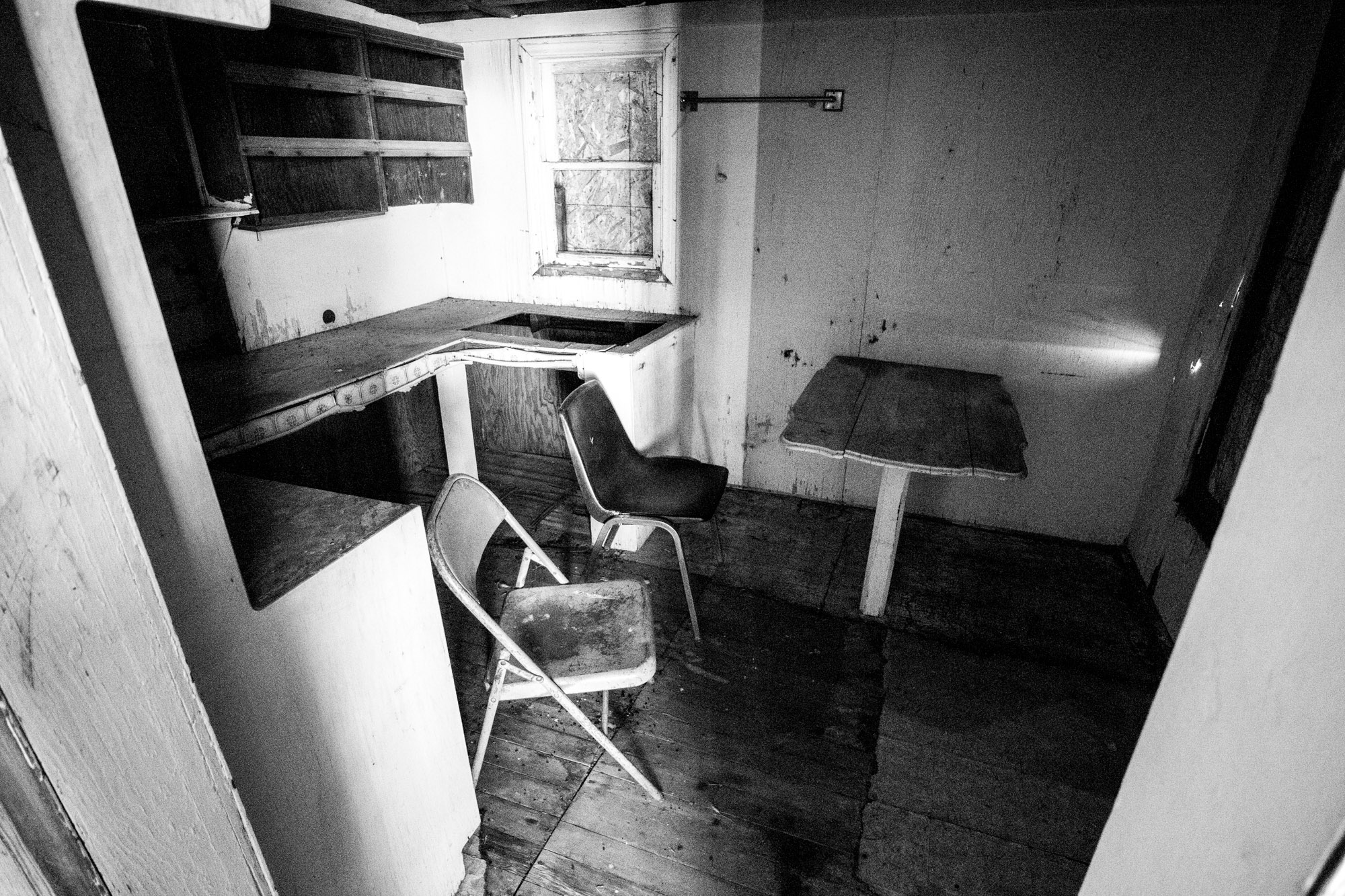
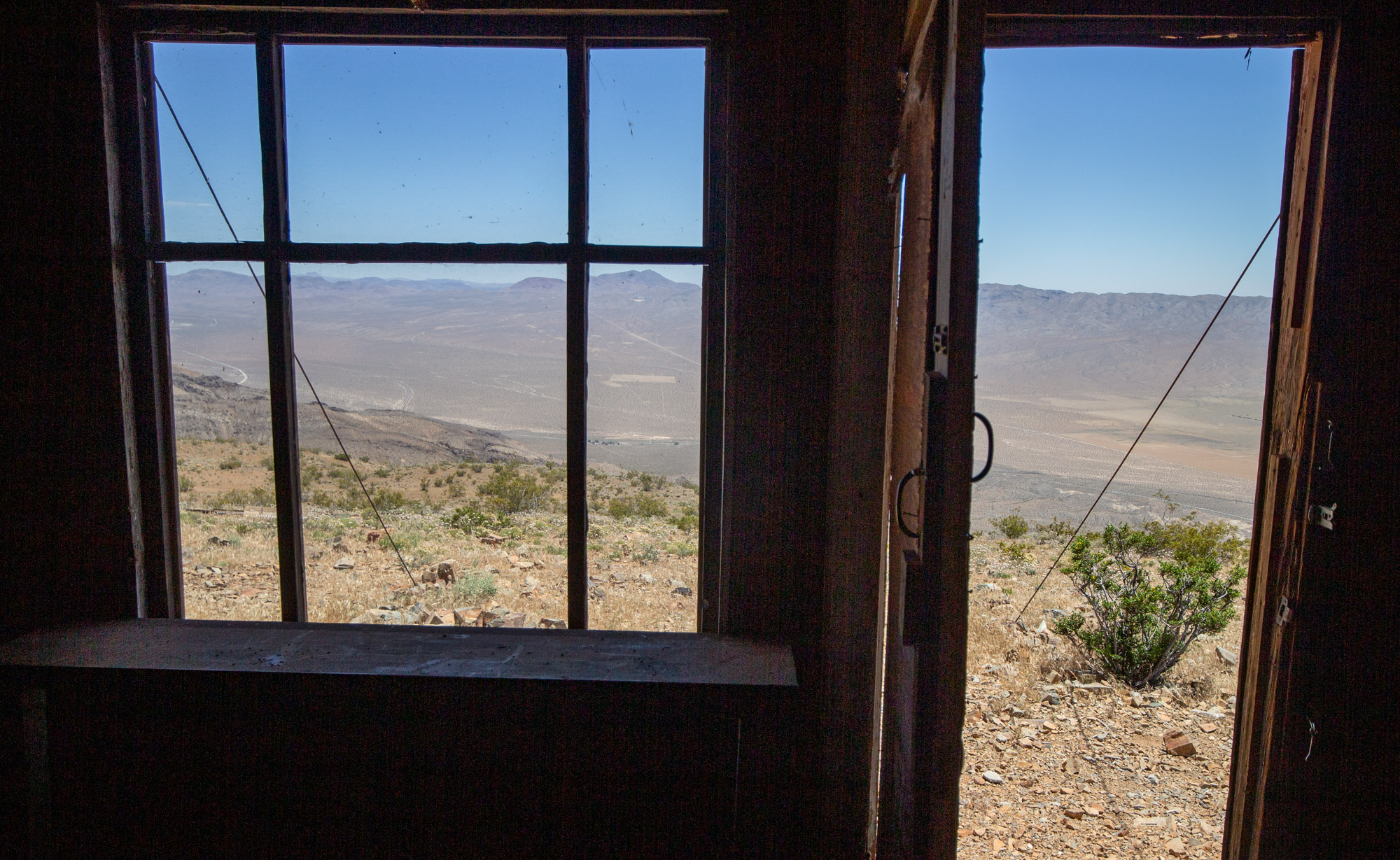
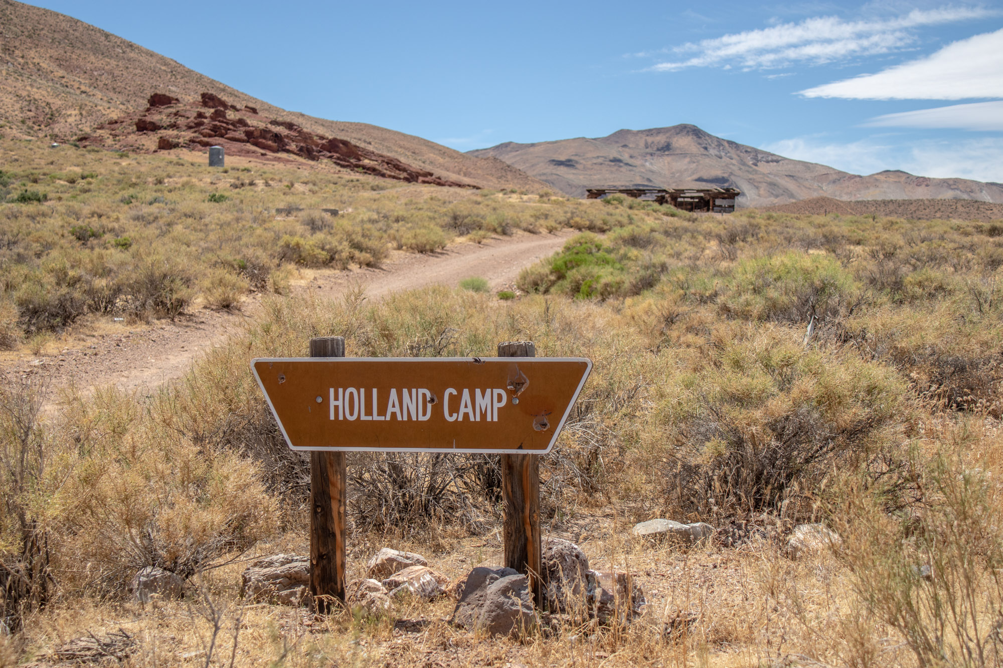
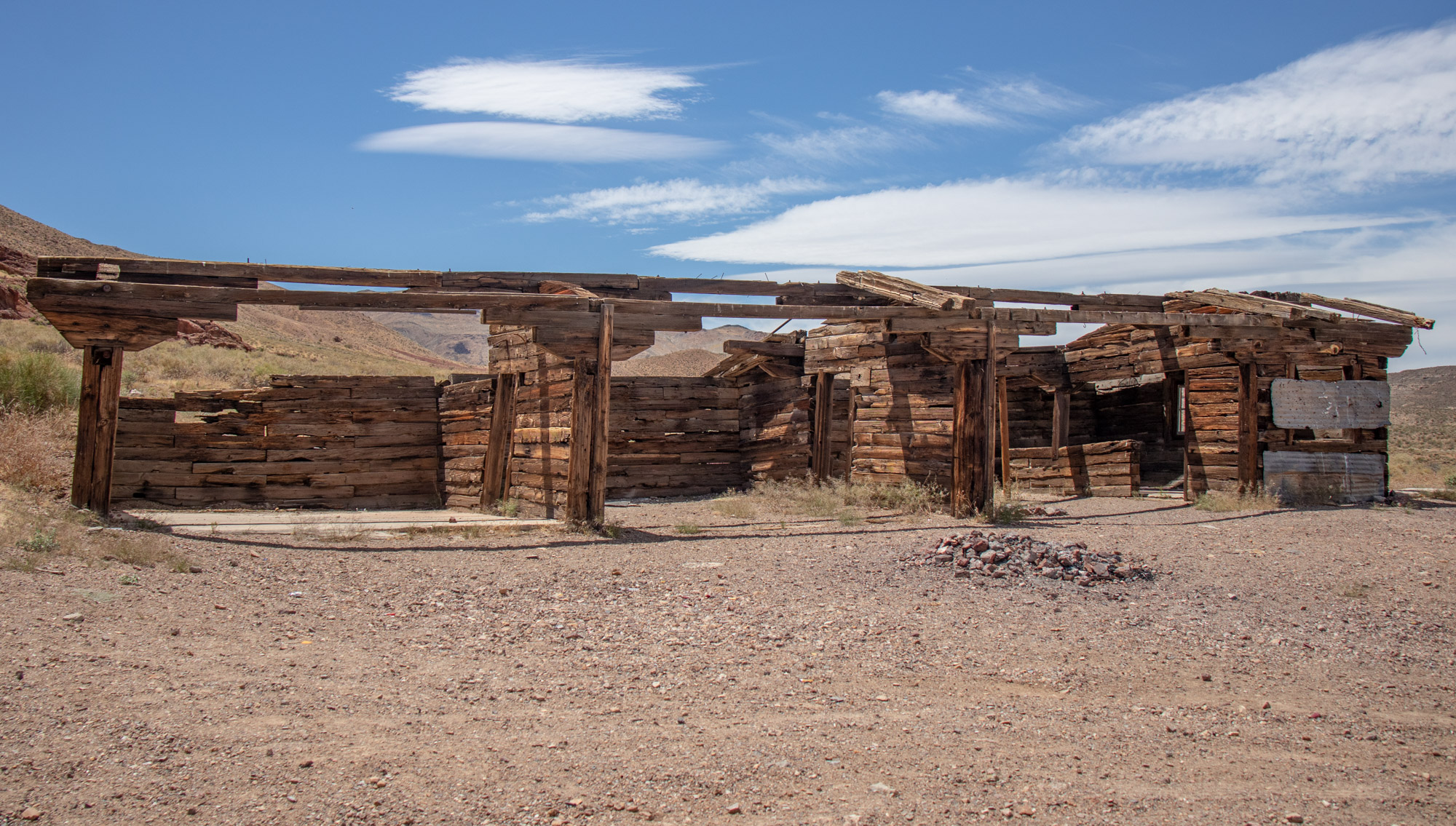
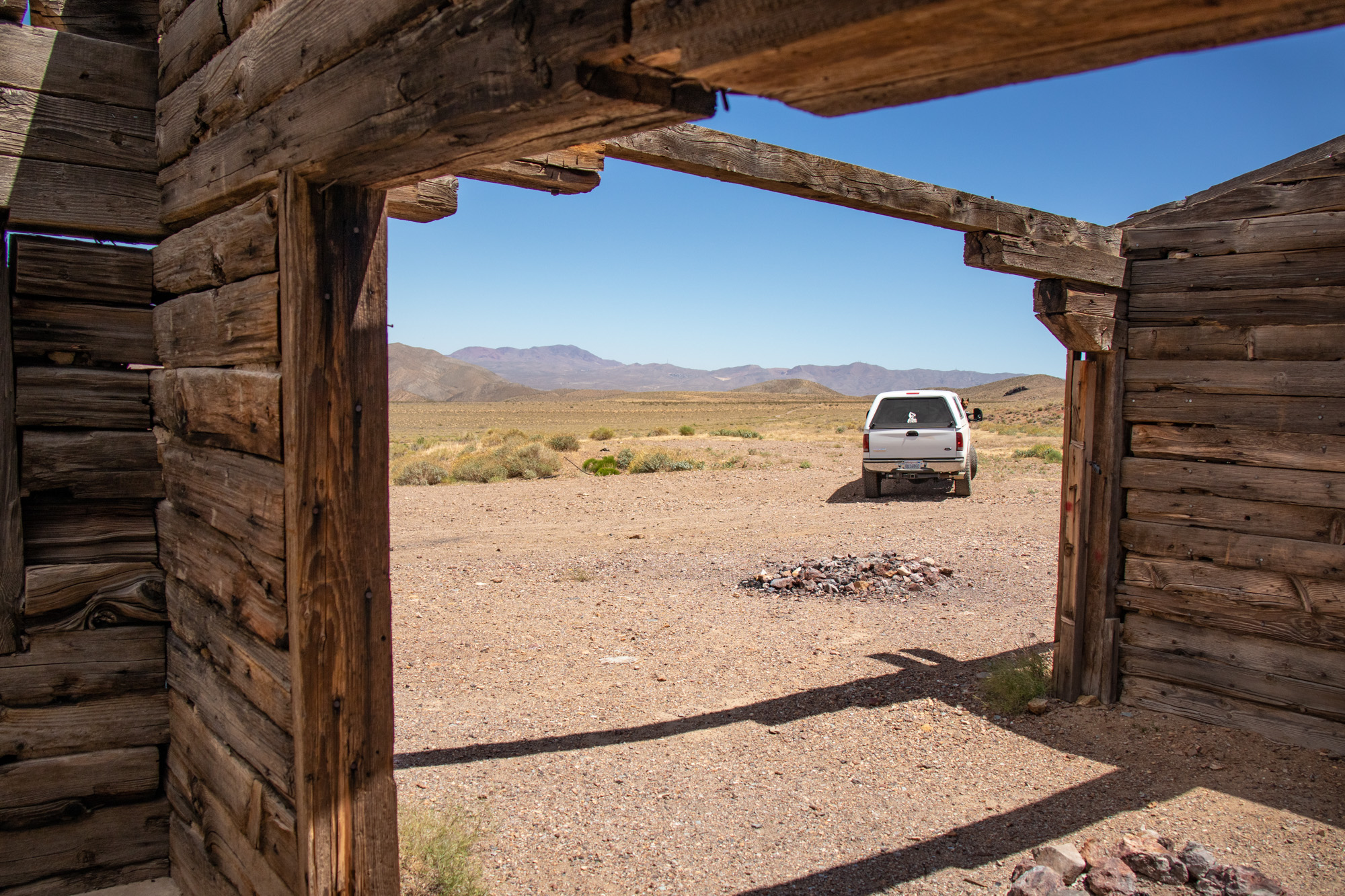
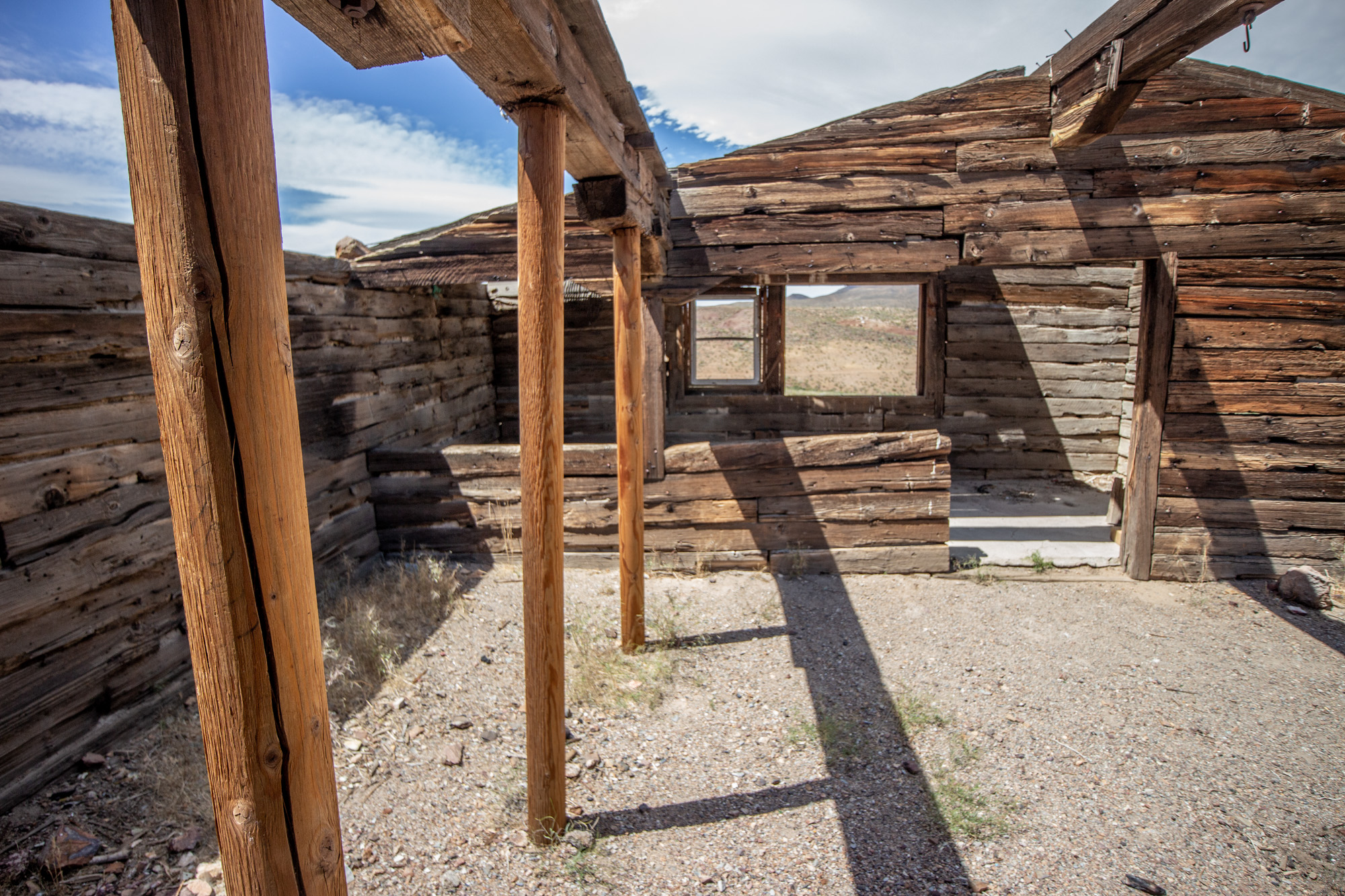
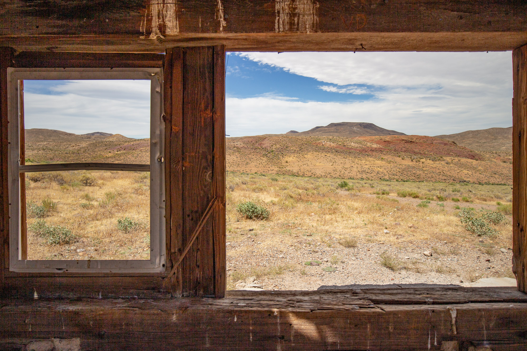
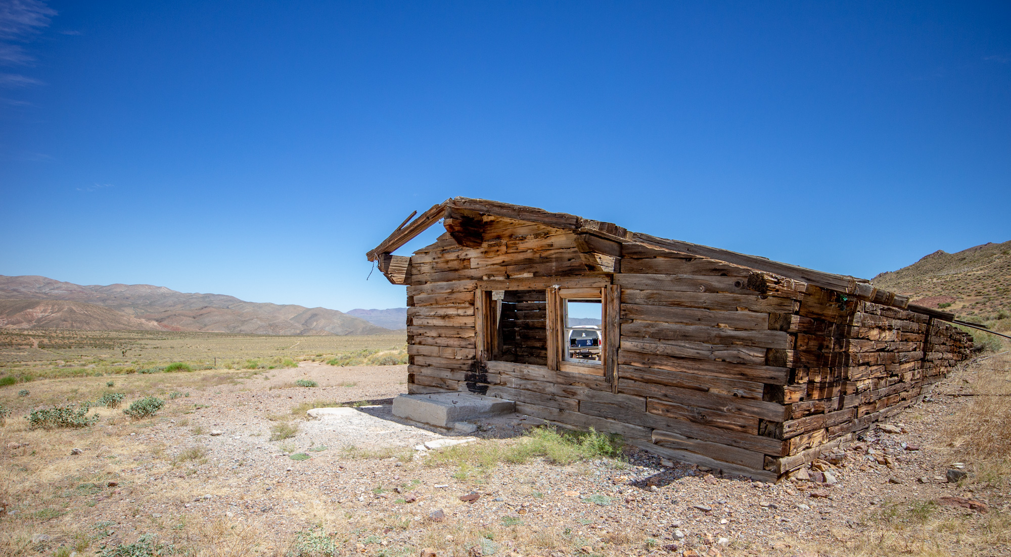
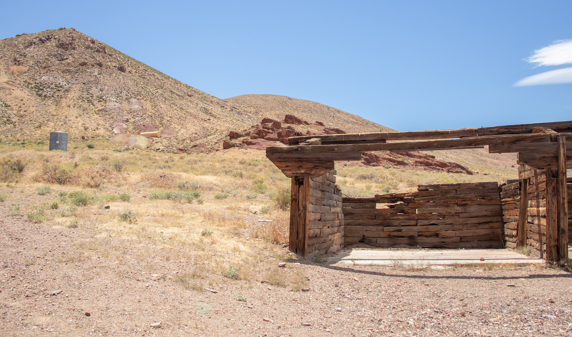
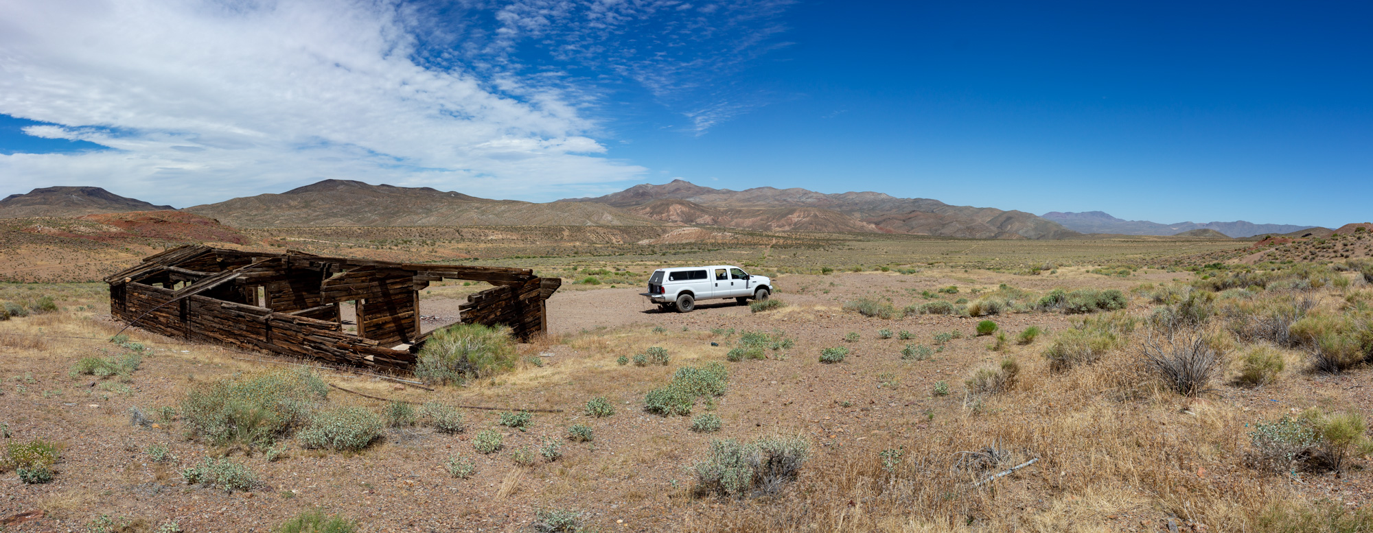
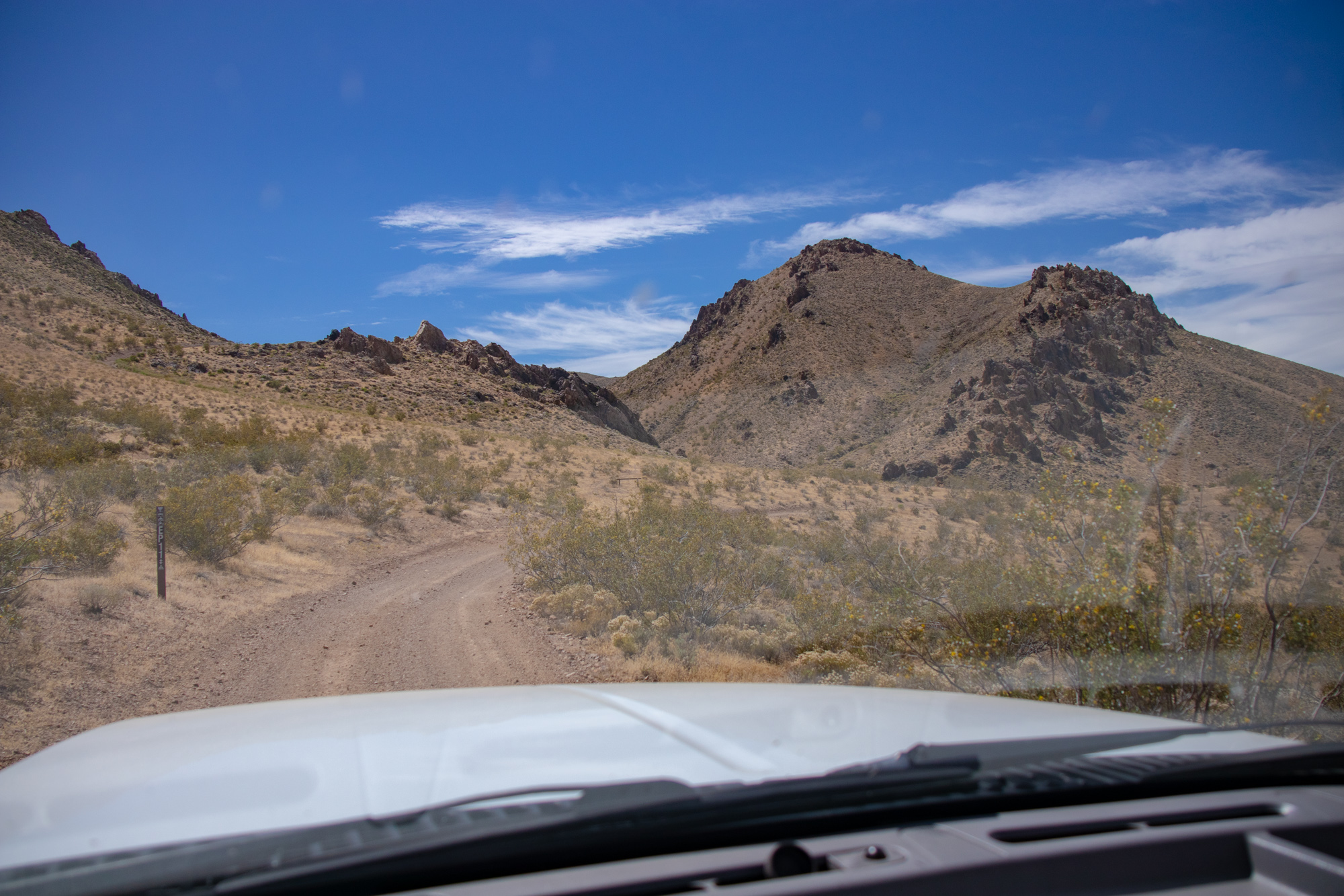
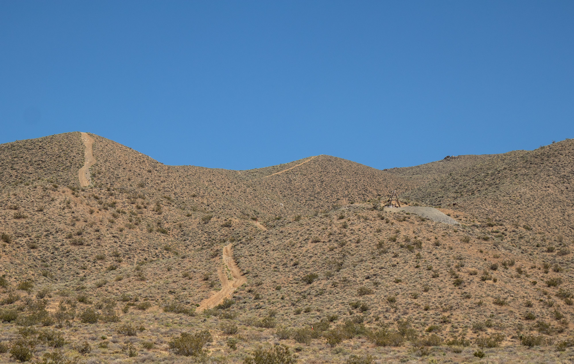
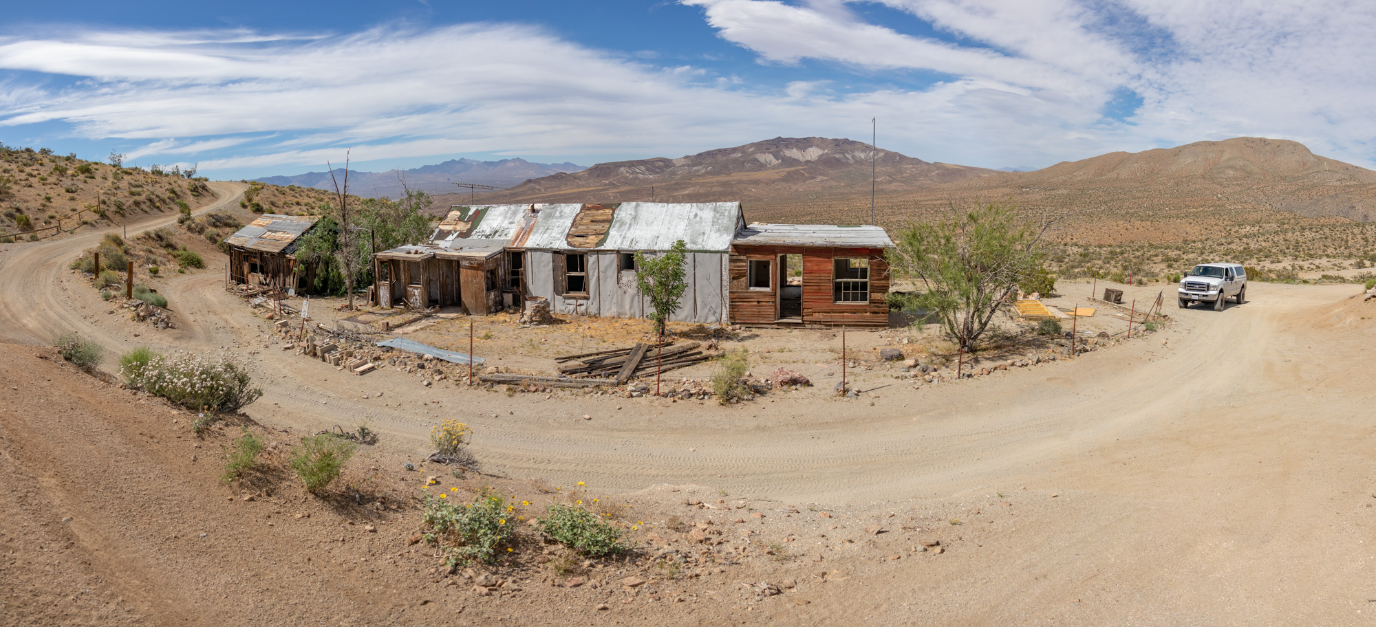
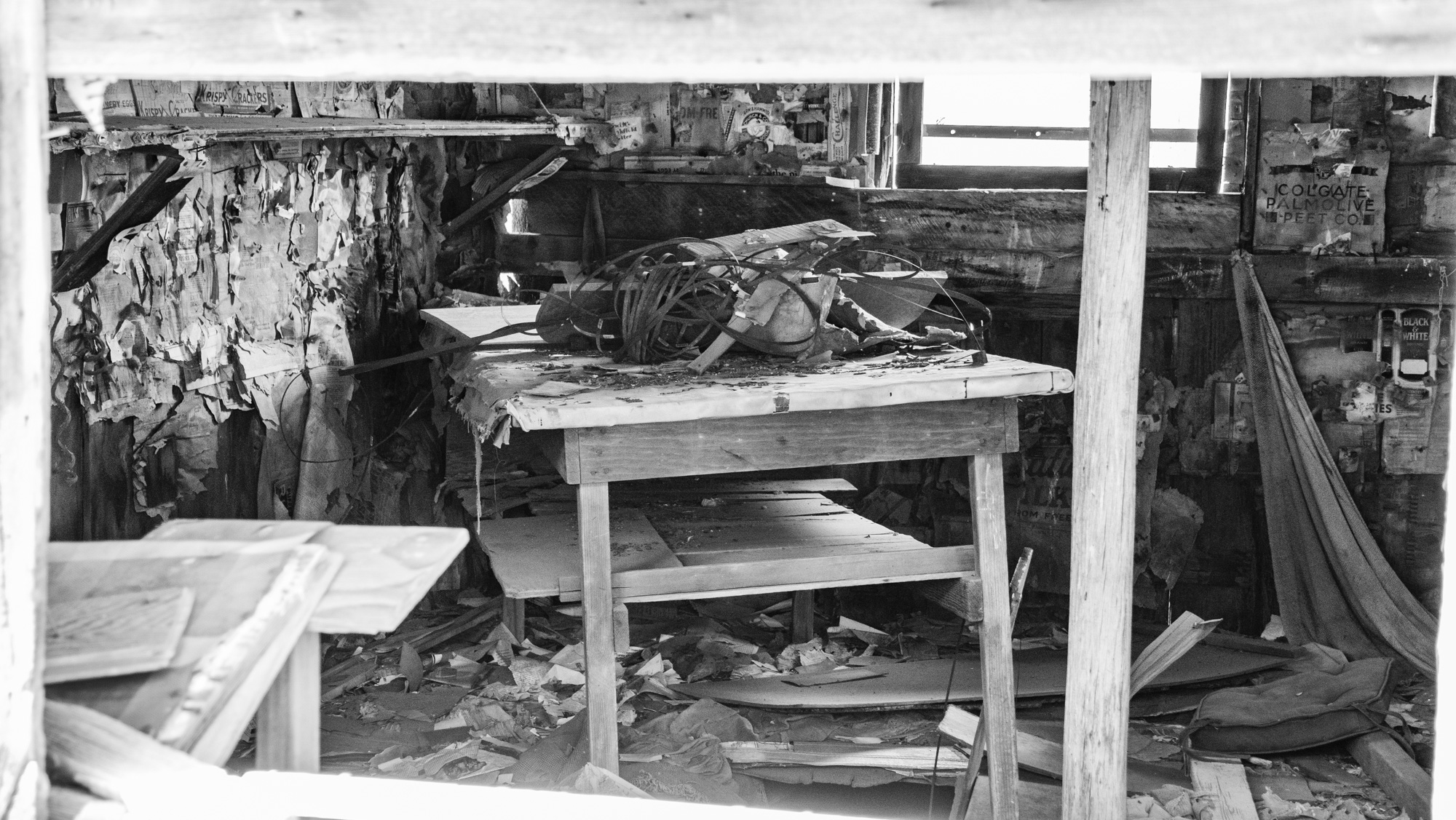
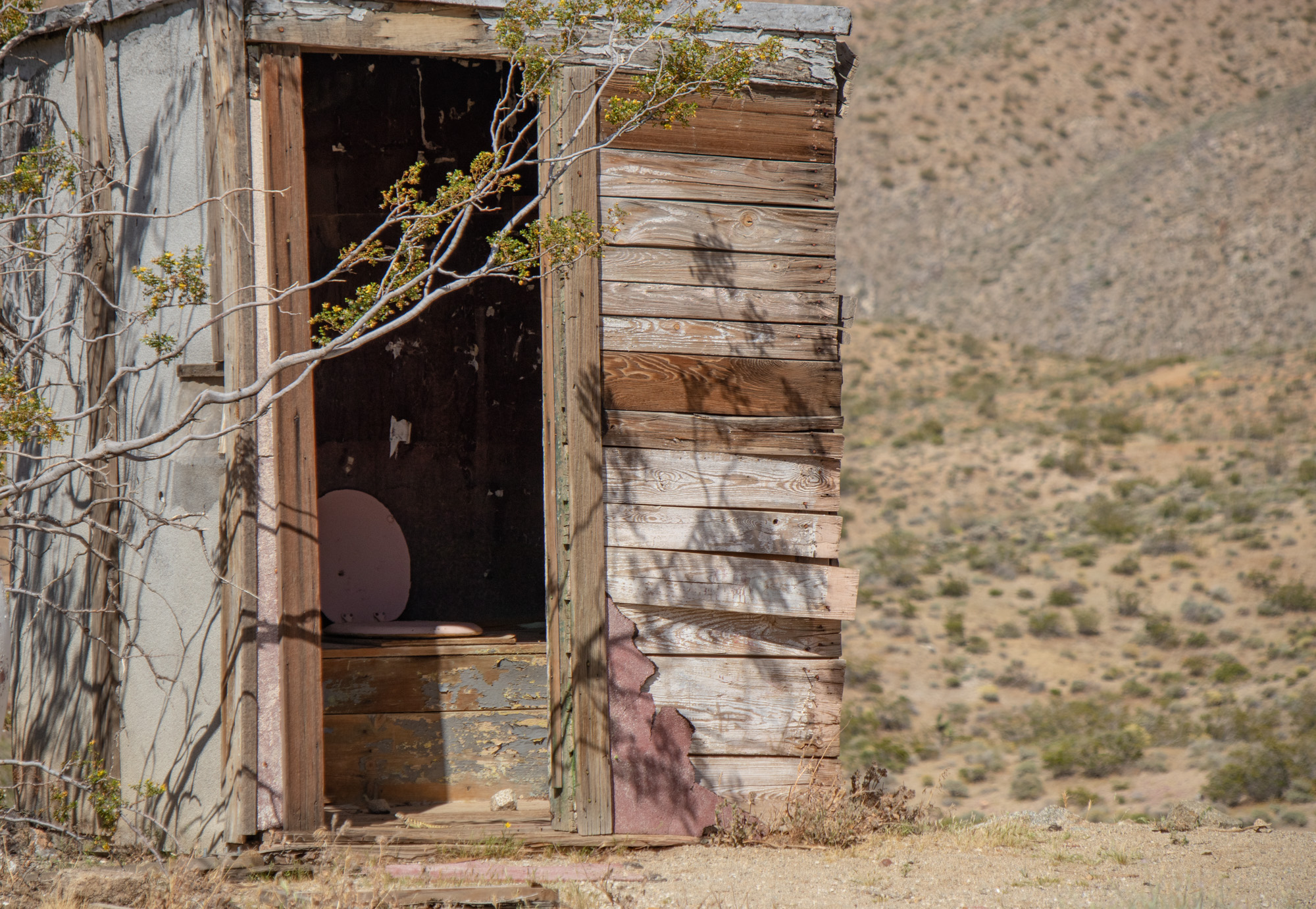
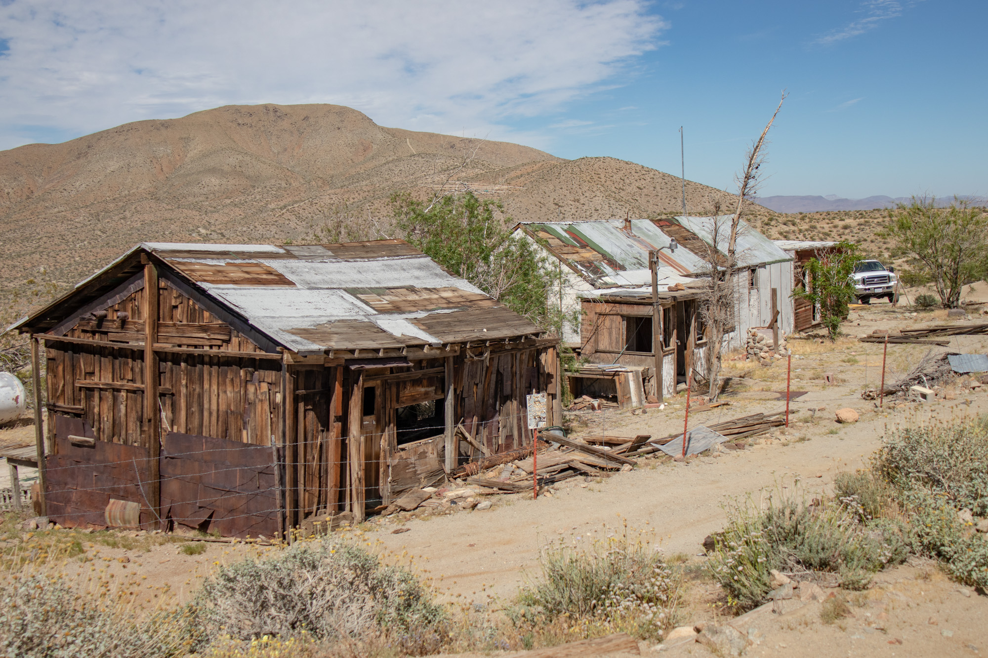
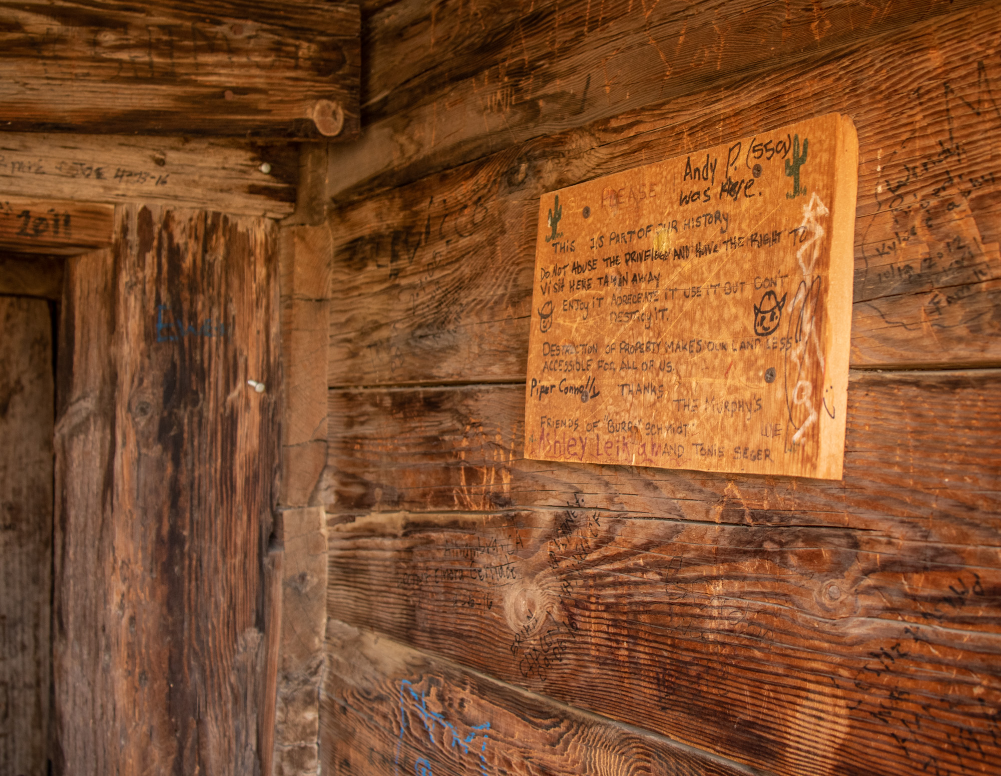
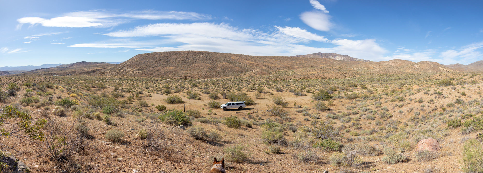
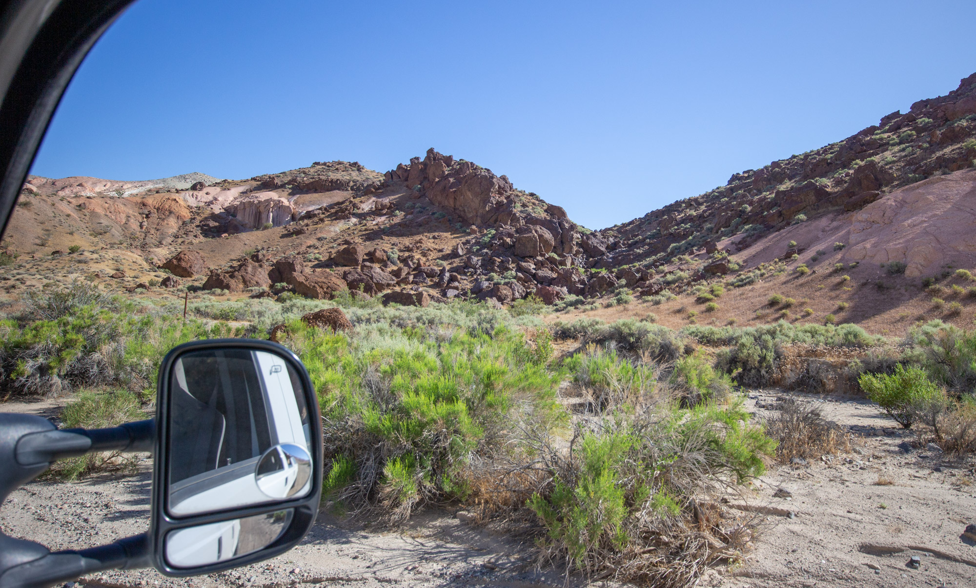
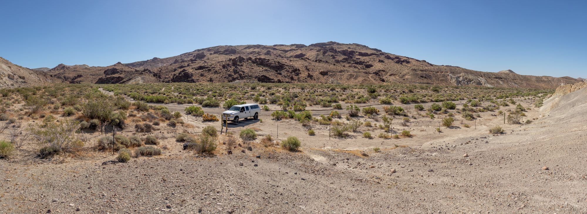
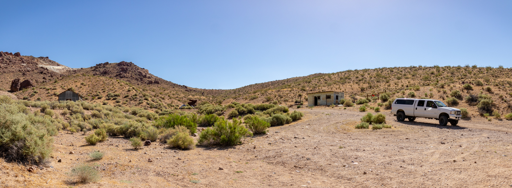
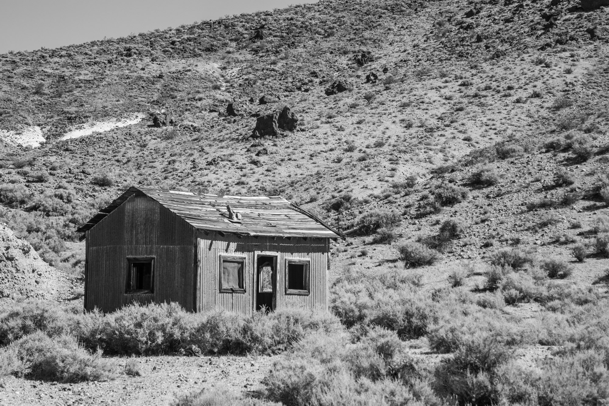
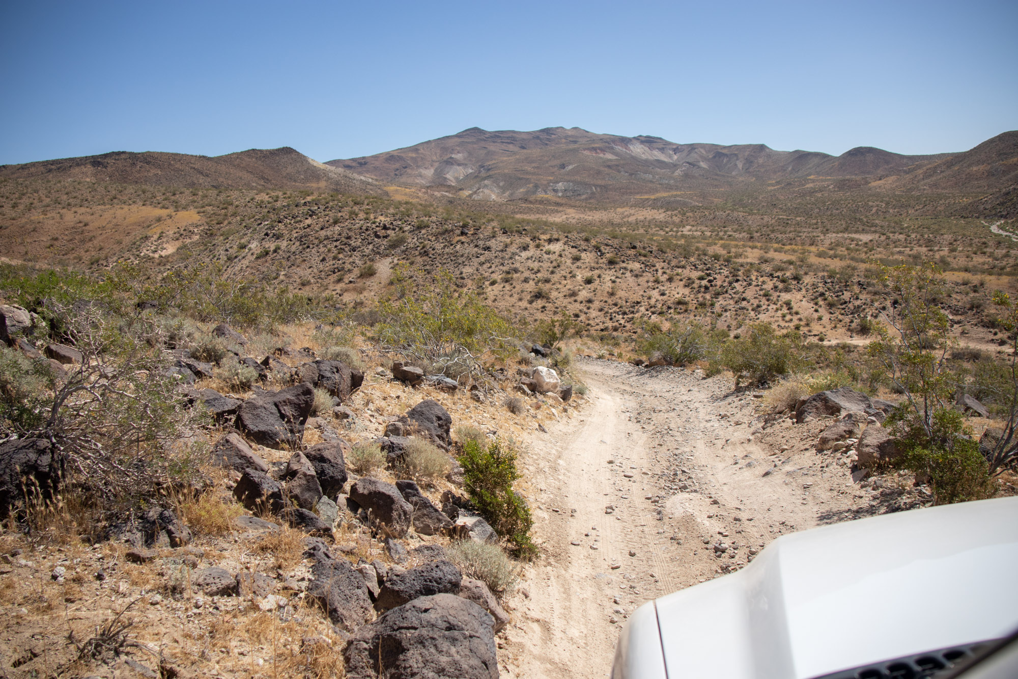
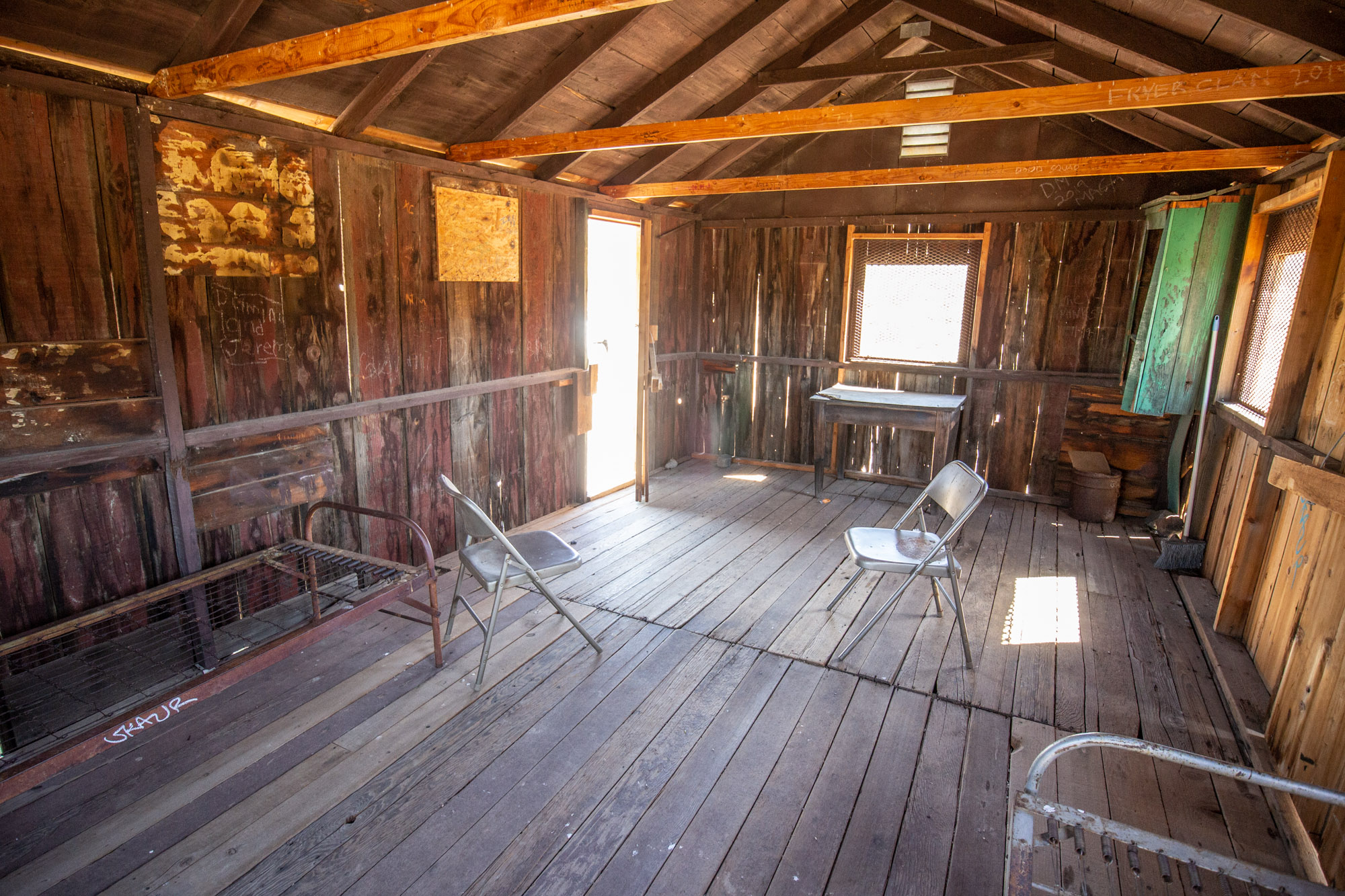
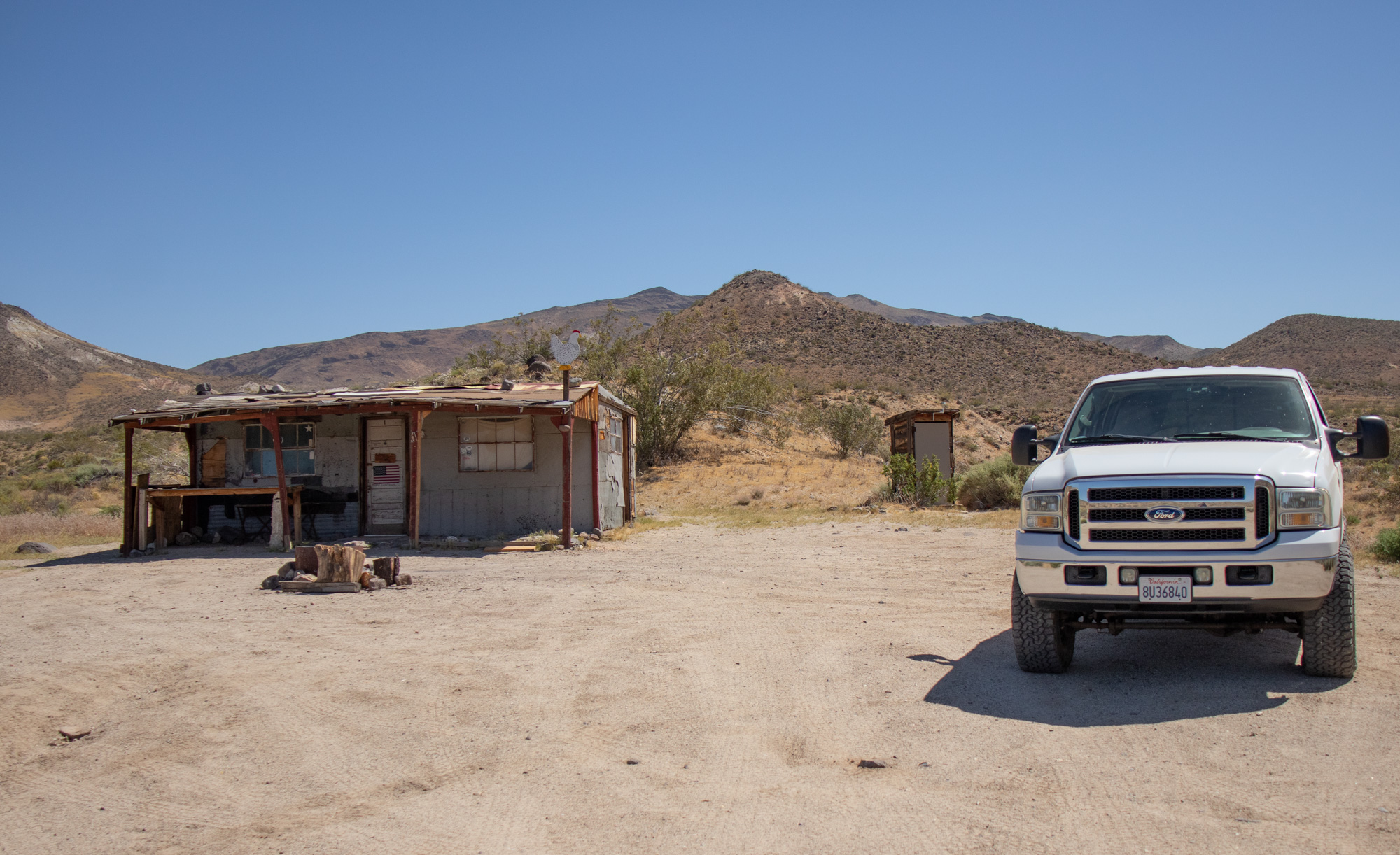
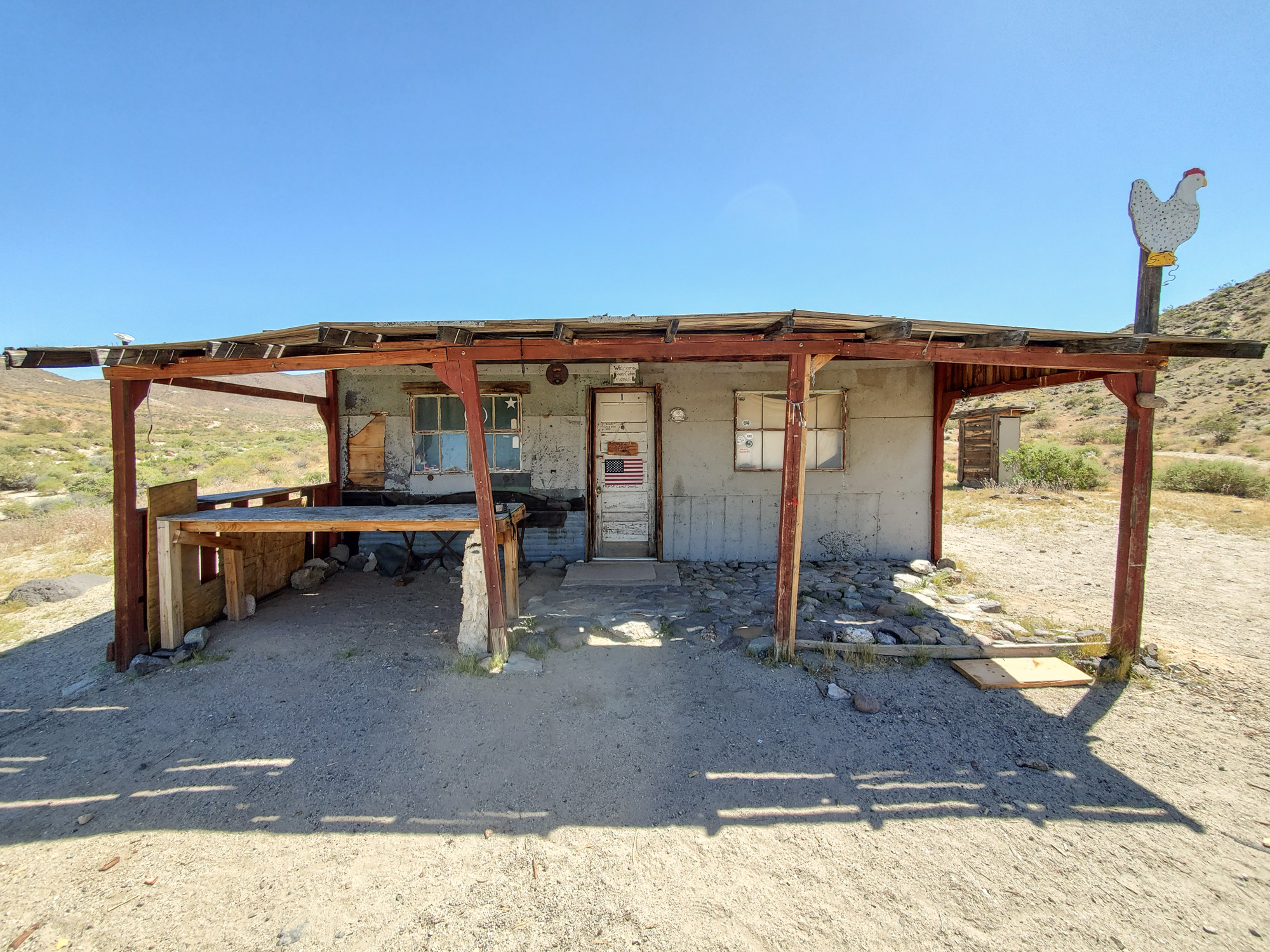
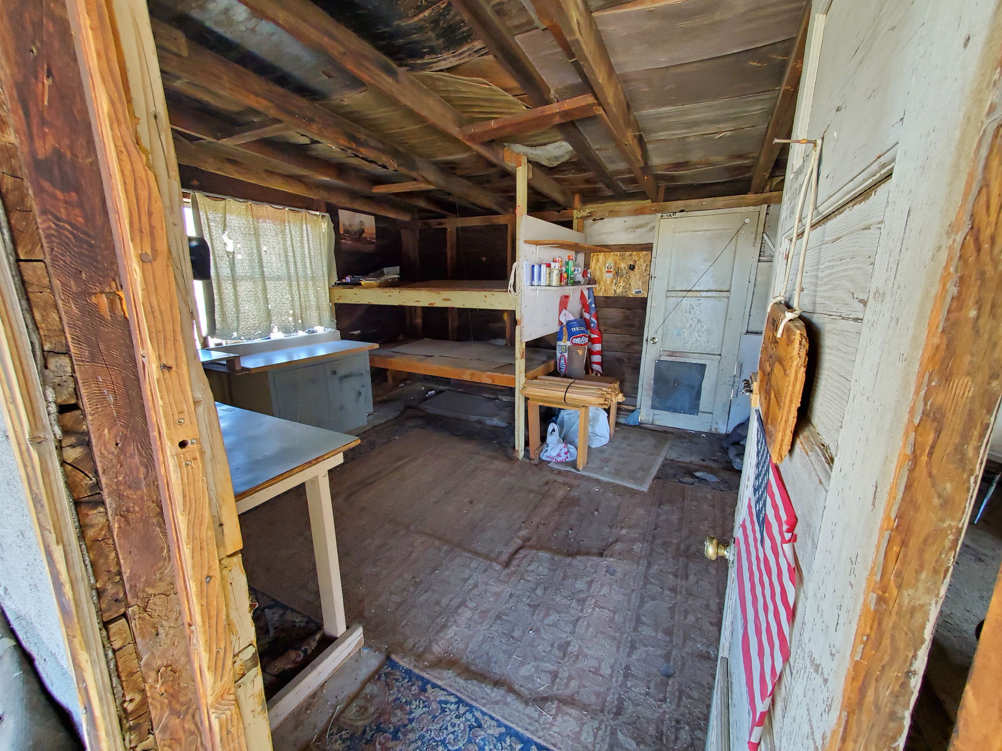
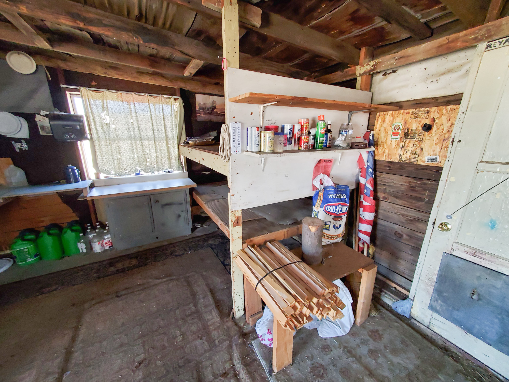
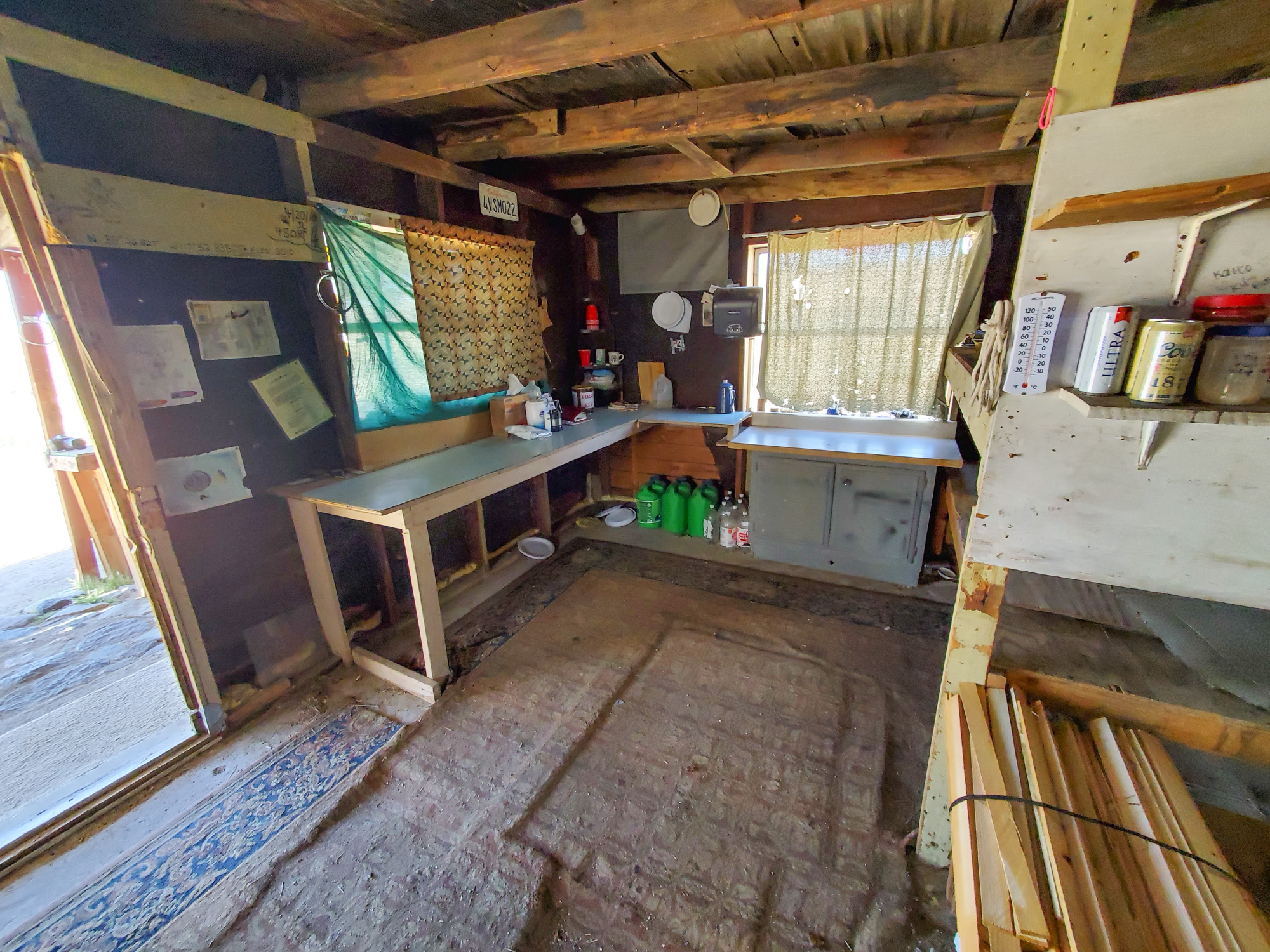
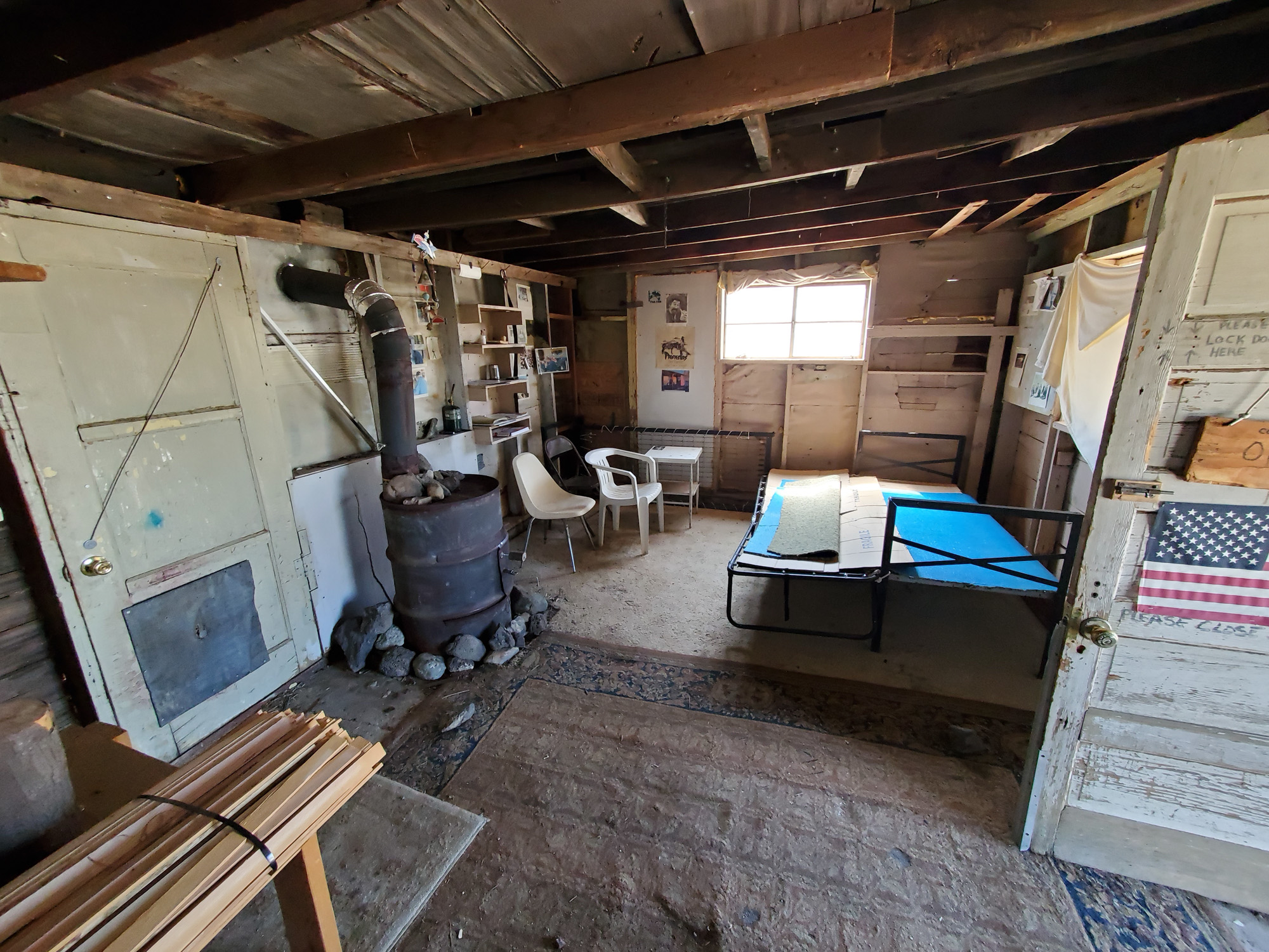
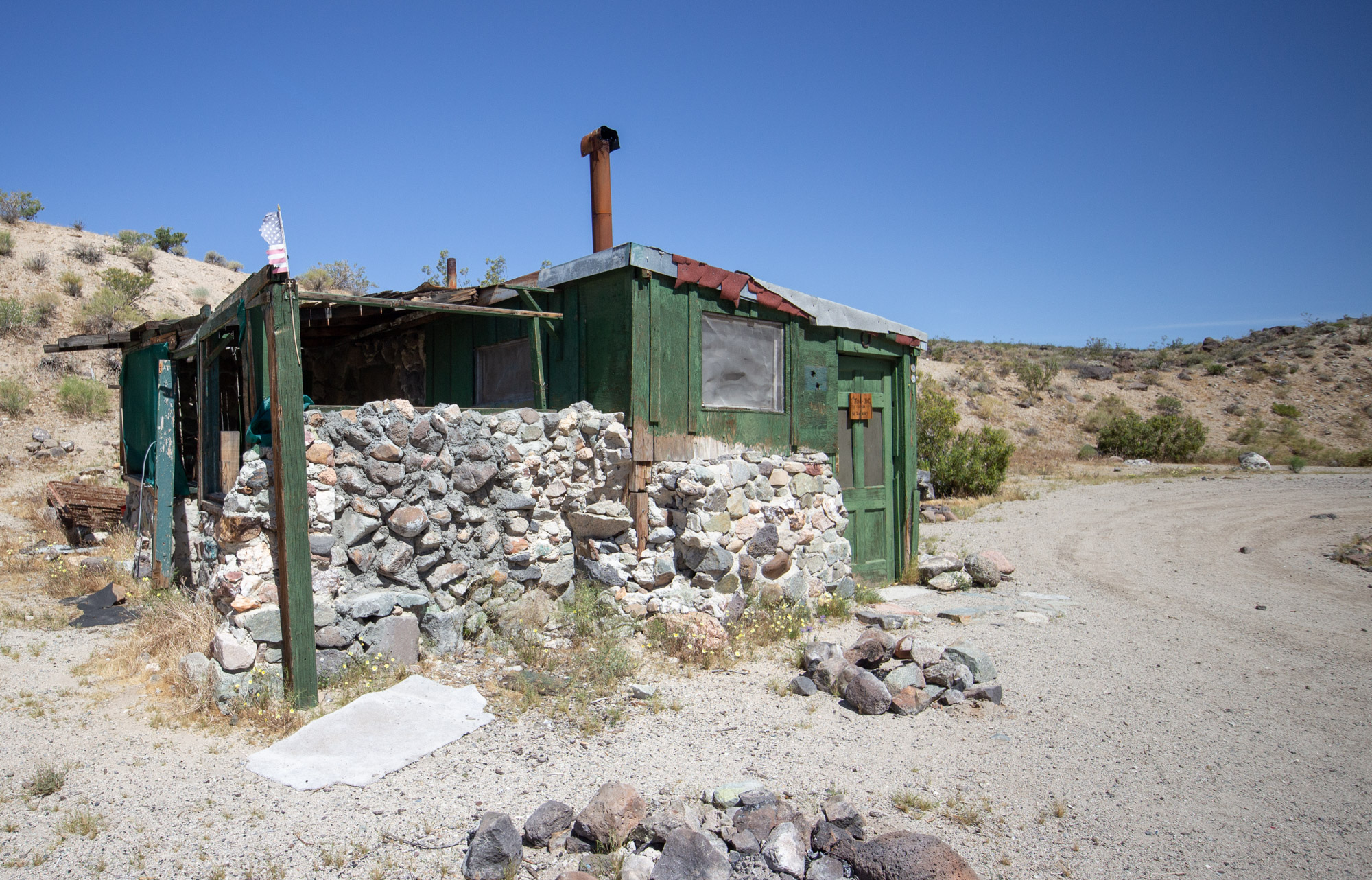
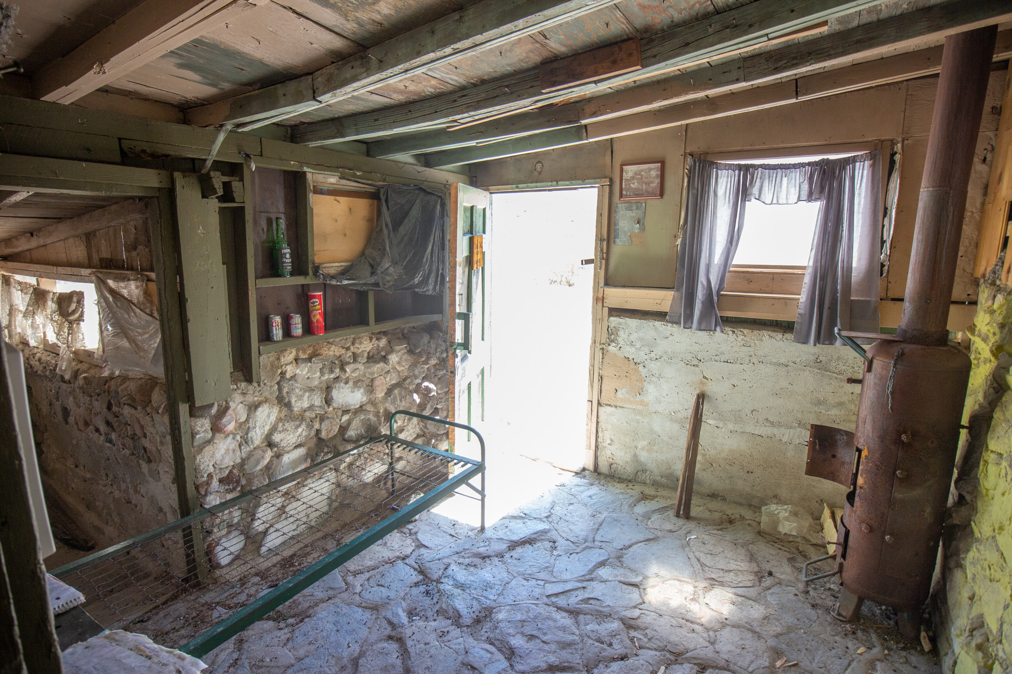
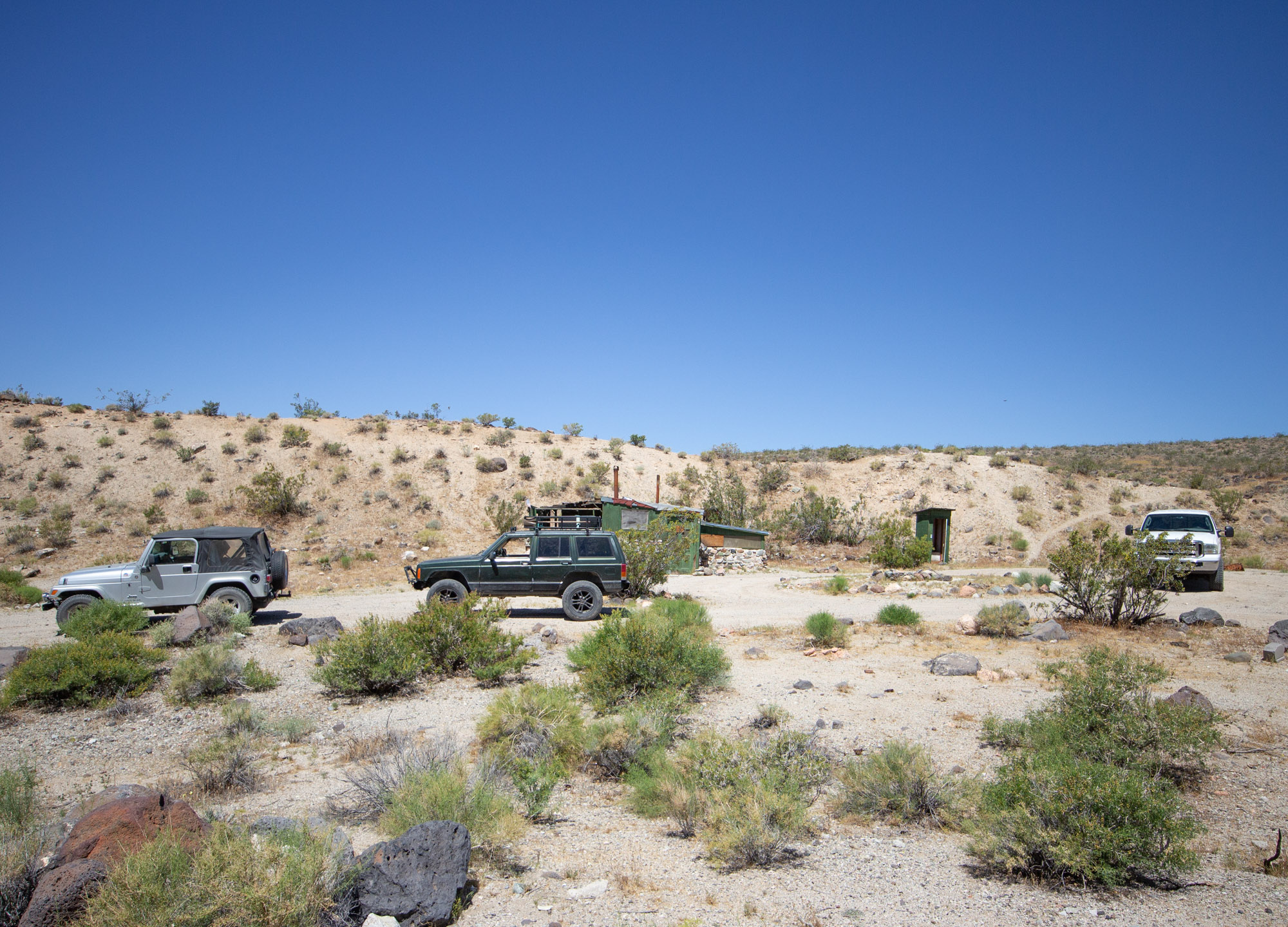
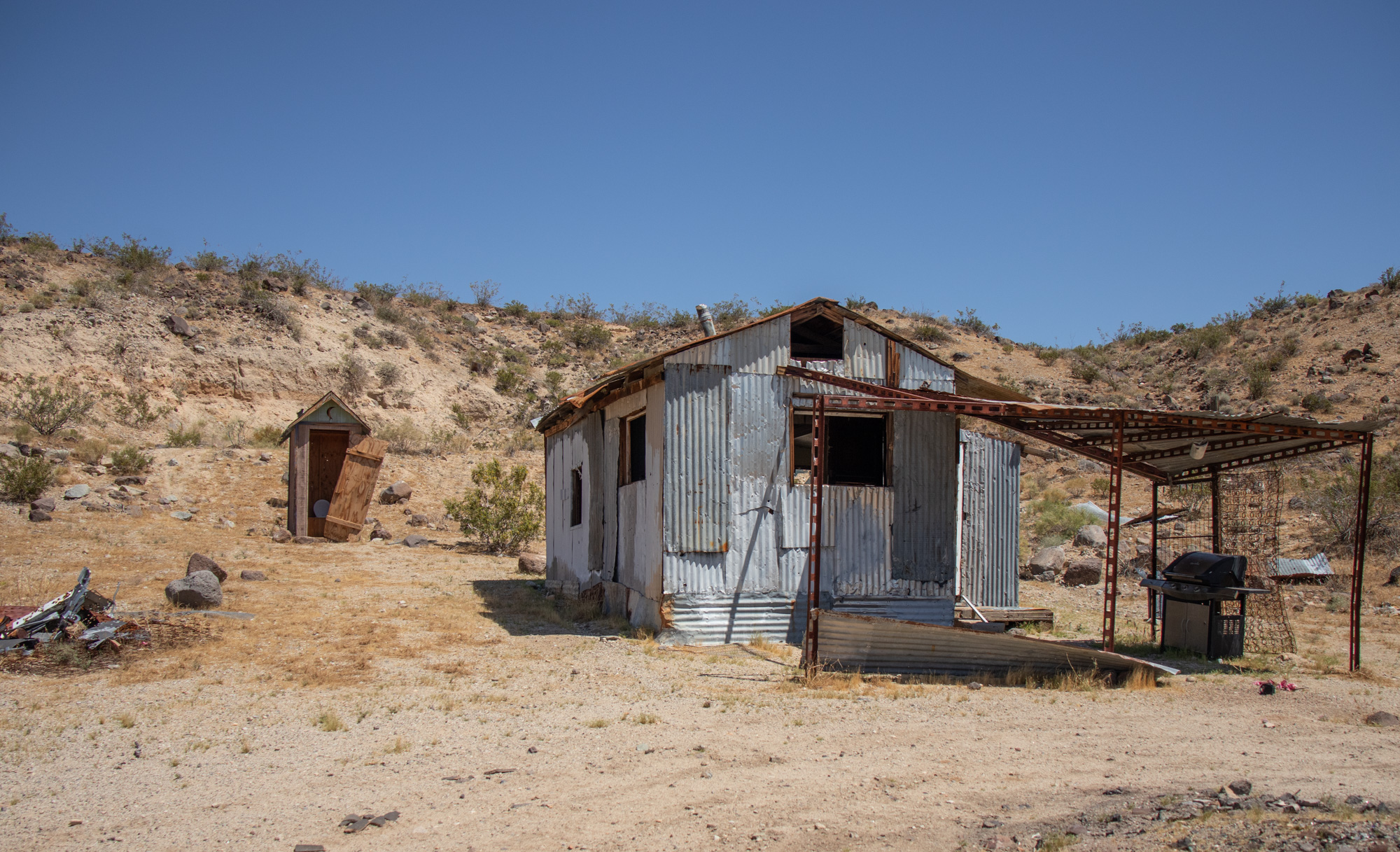
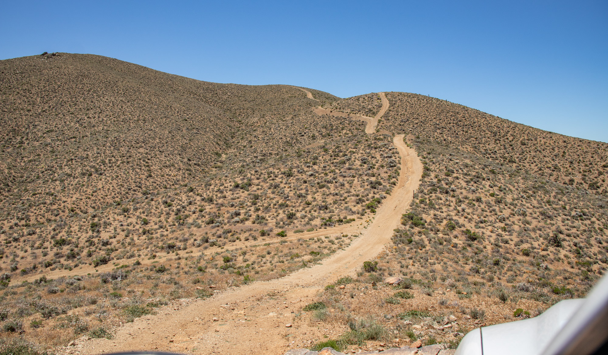
First place I wanted to check out was Walsh Cabin high up on the southern slope. EP204 looked to be the best way from all my research. Put the truck into 4-low and started climbing, not sure what to expect and hoping I could make it or turn around.

IMG_6701.jpg


IMG_6703.jpg

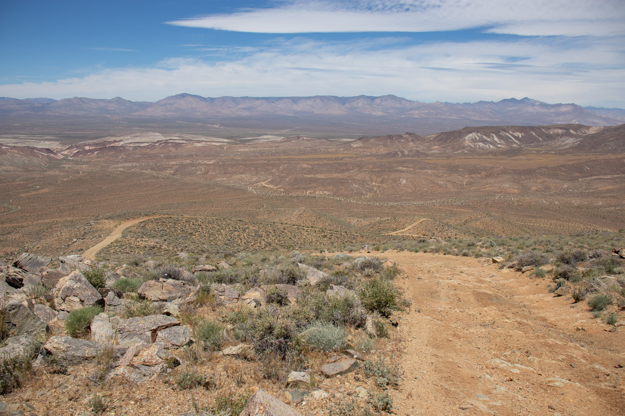
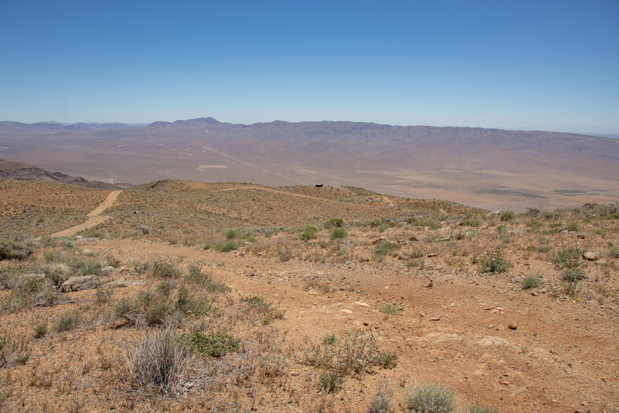
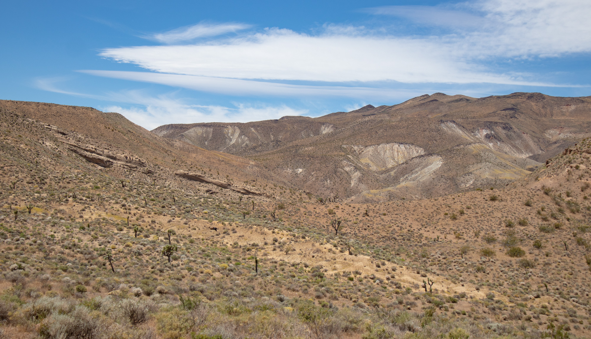
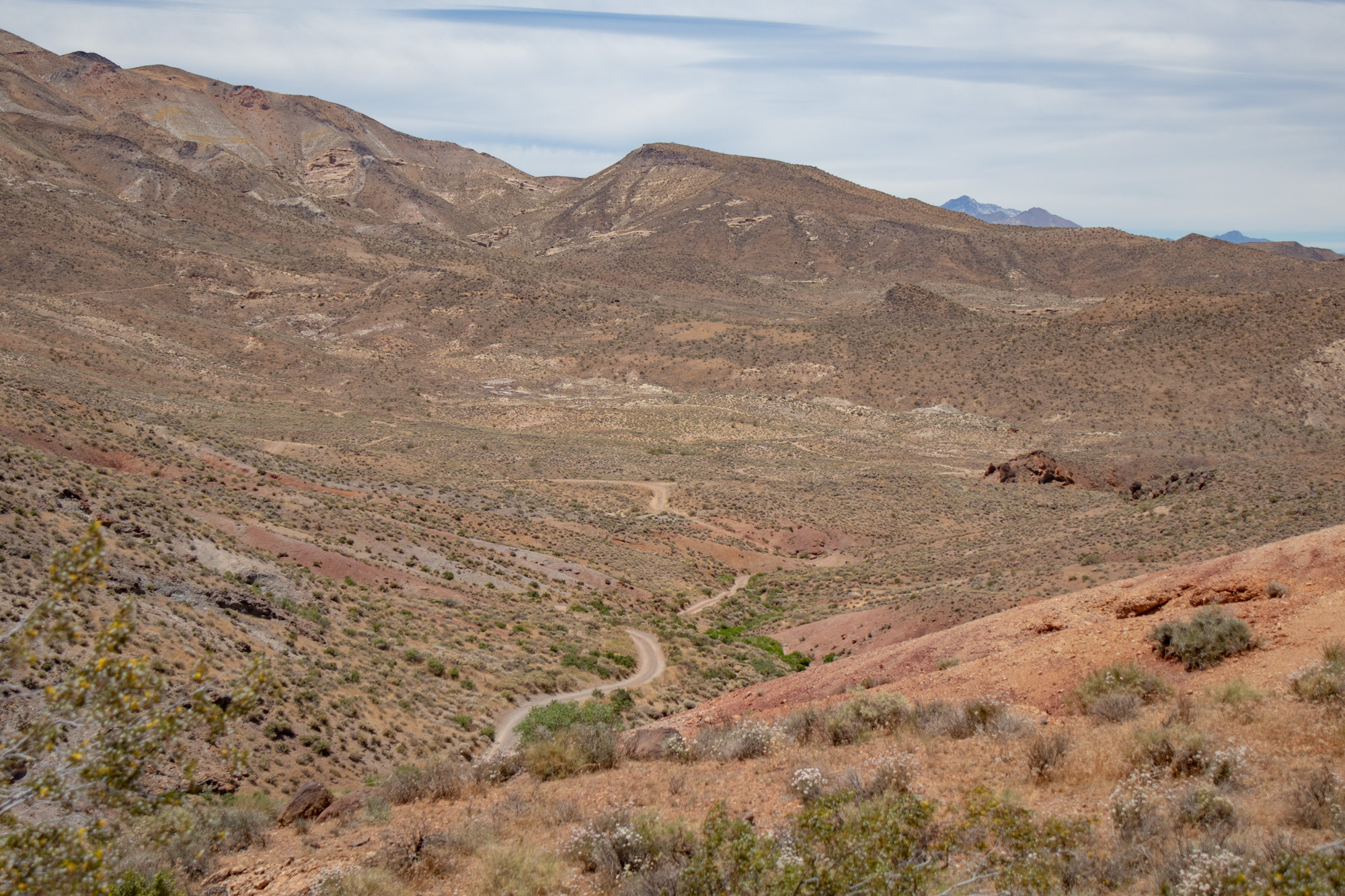
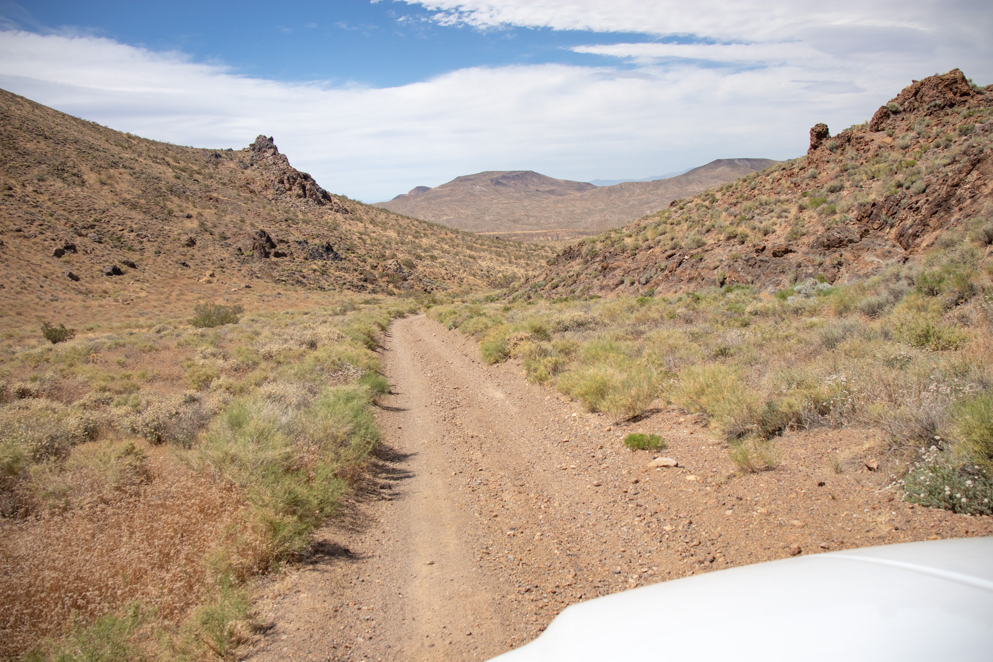
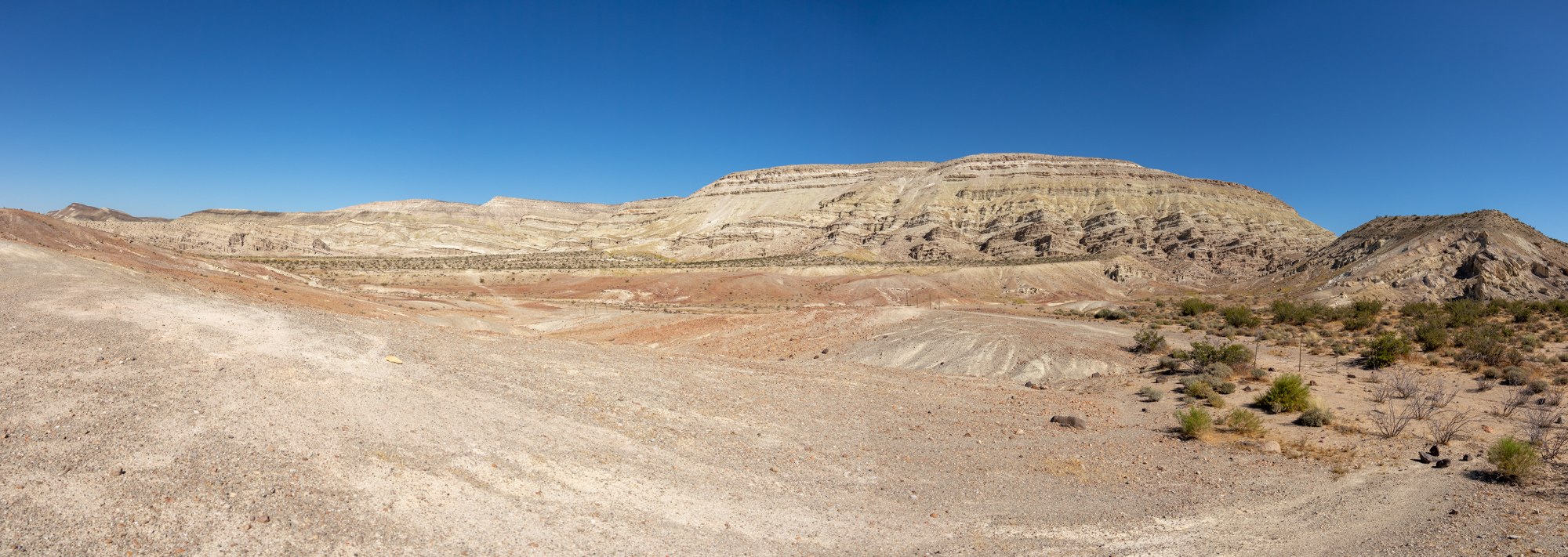
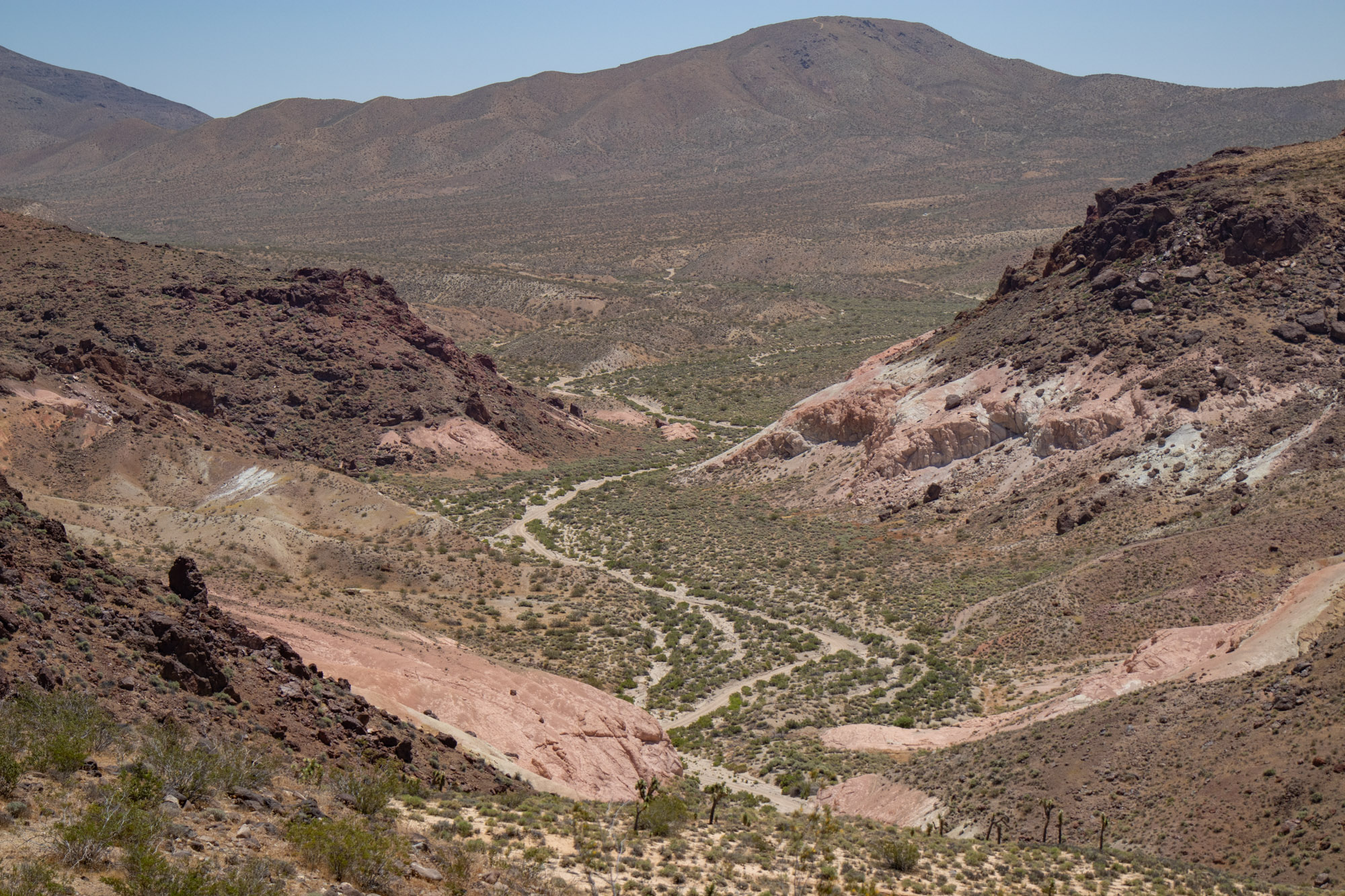
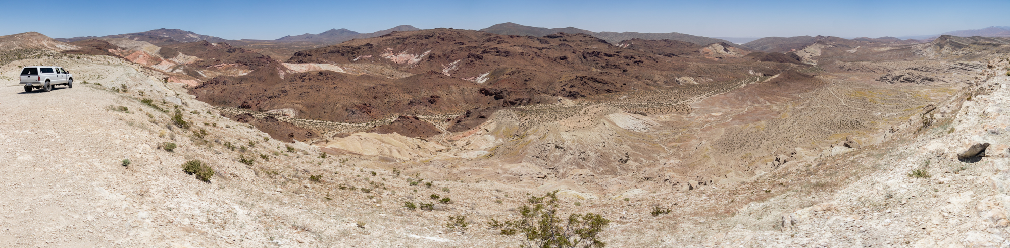
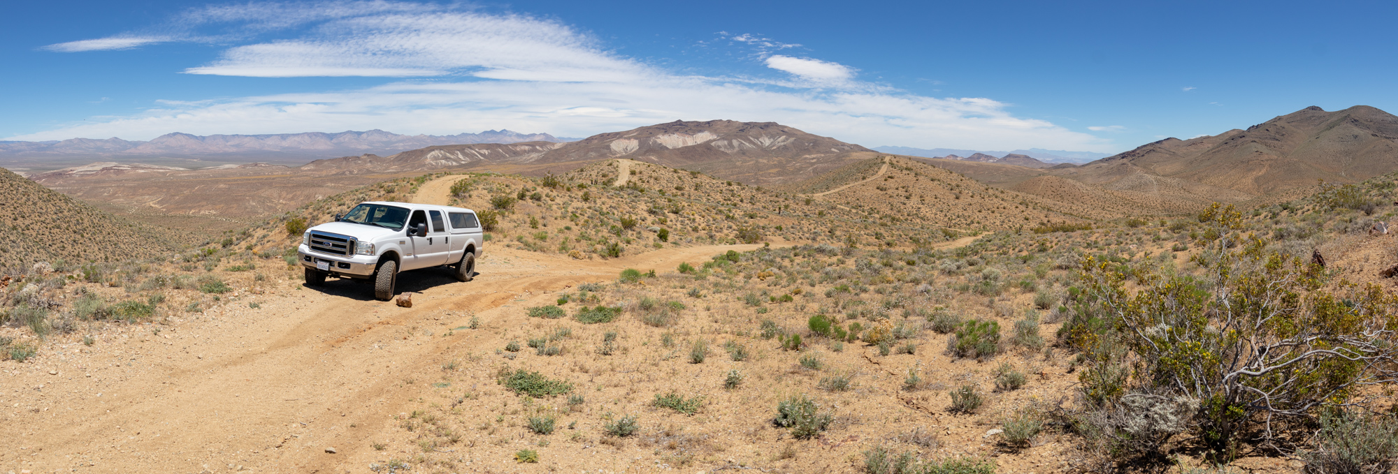
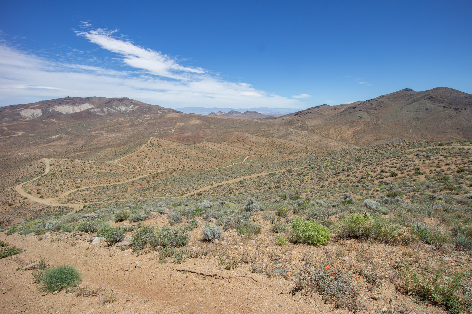
Mesquite Canyon (EP100) follows the base of the mountain towards Fremont Valley towards the right.


IMG_6705-Pano.jpg


IMG_6718.jpg

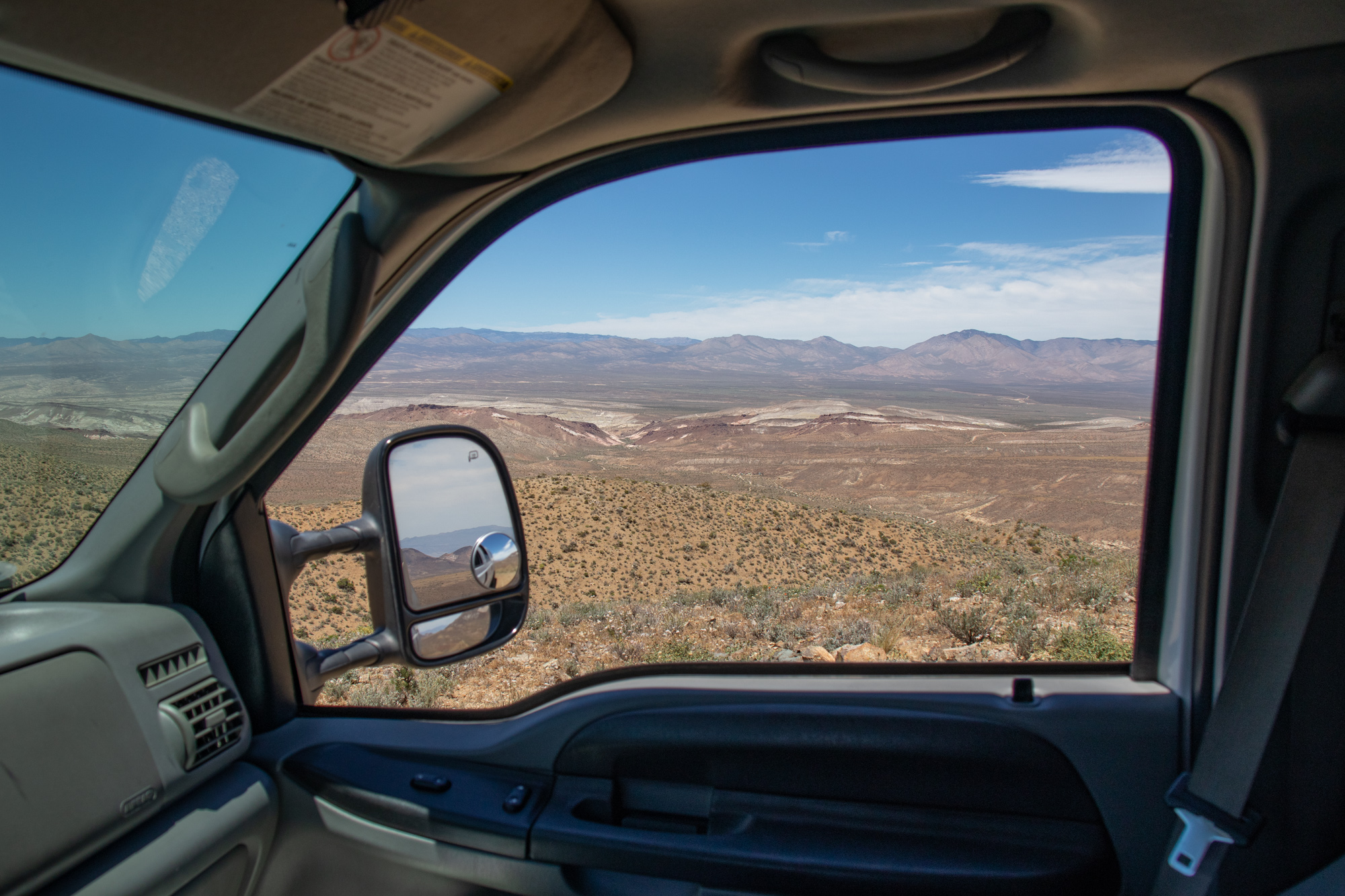
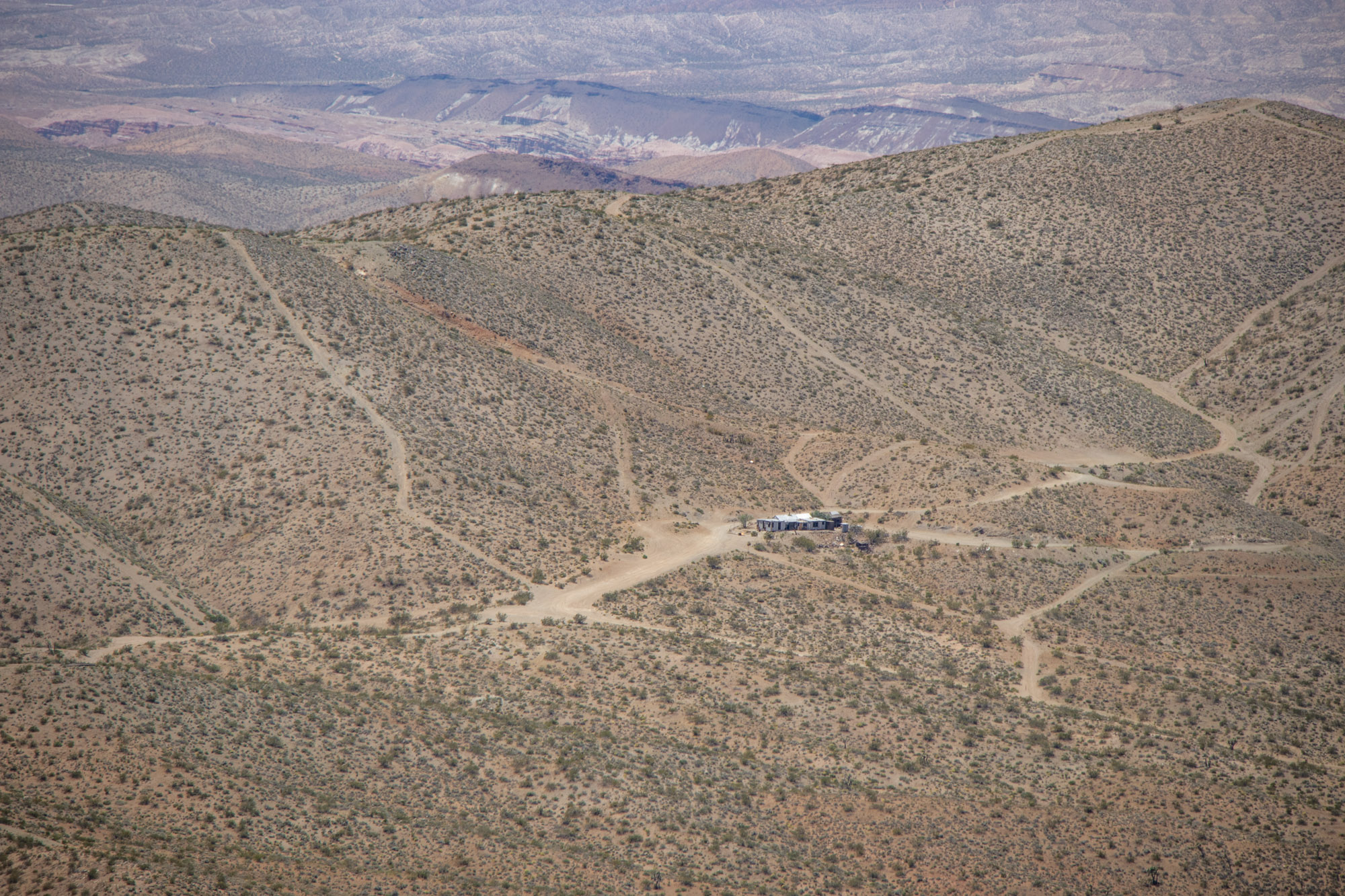
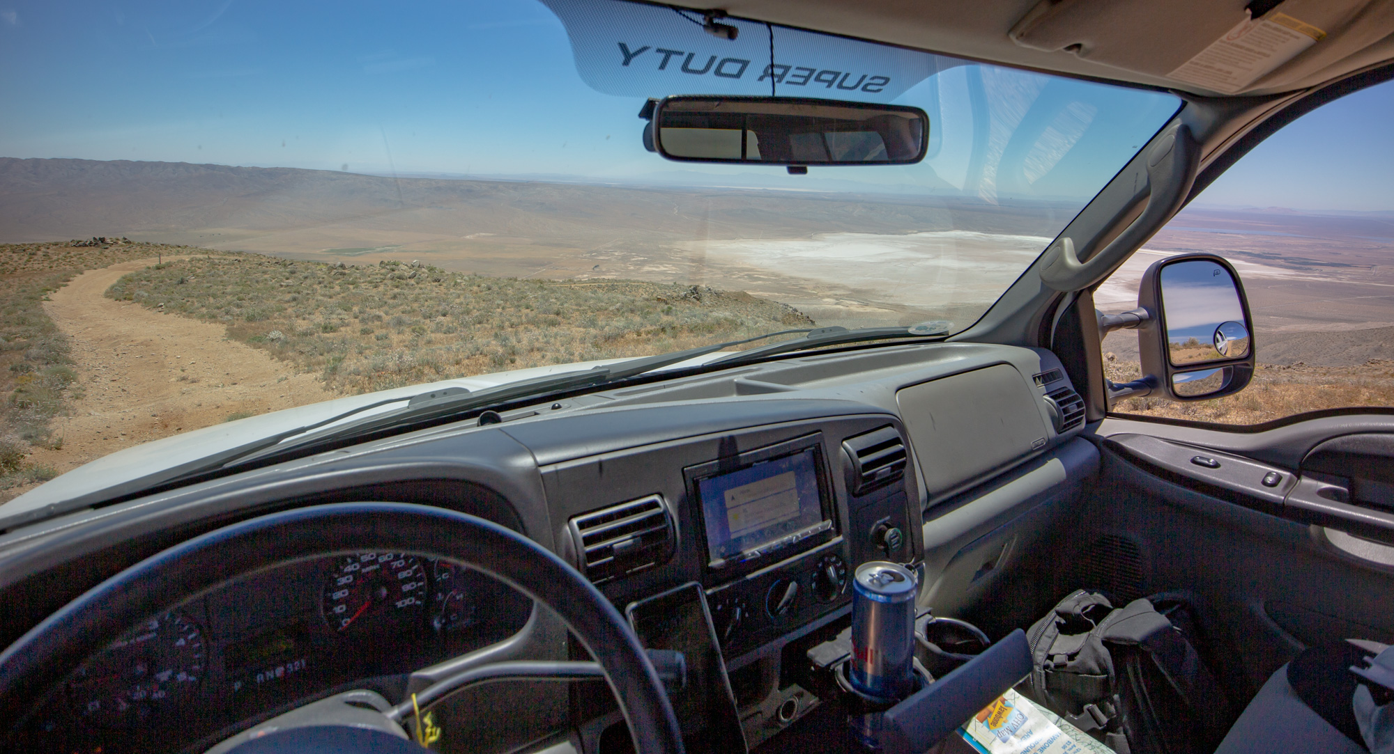
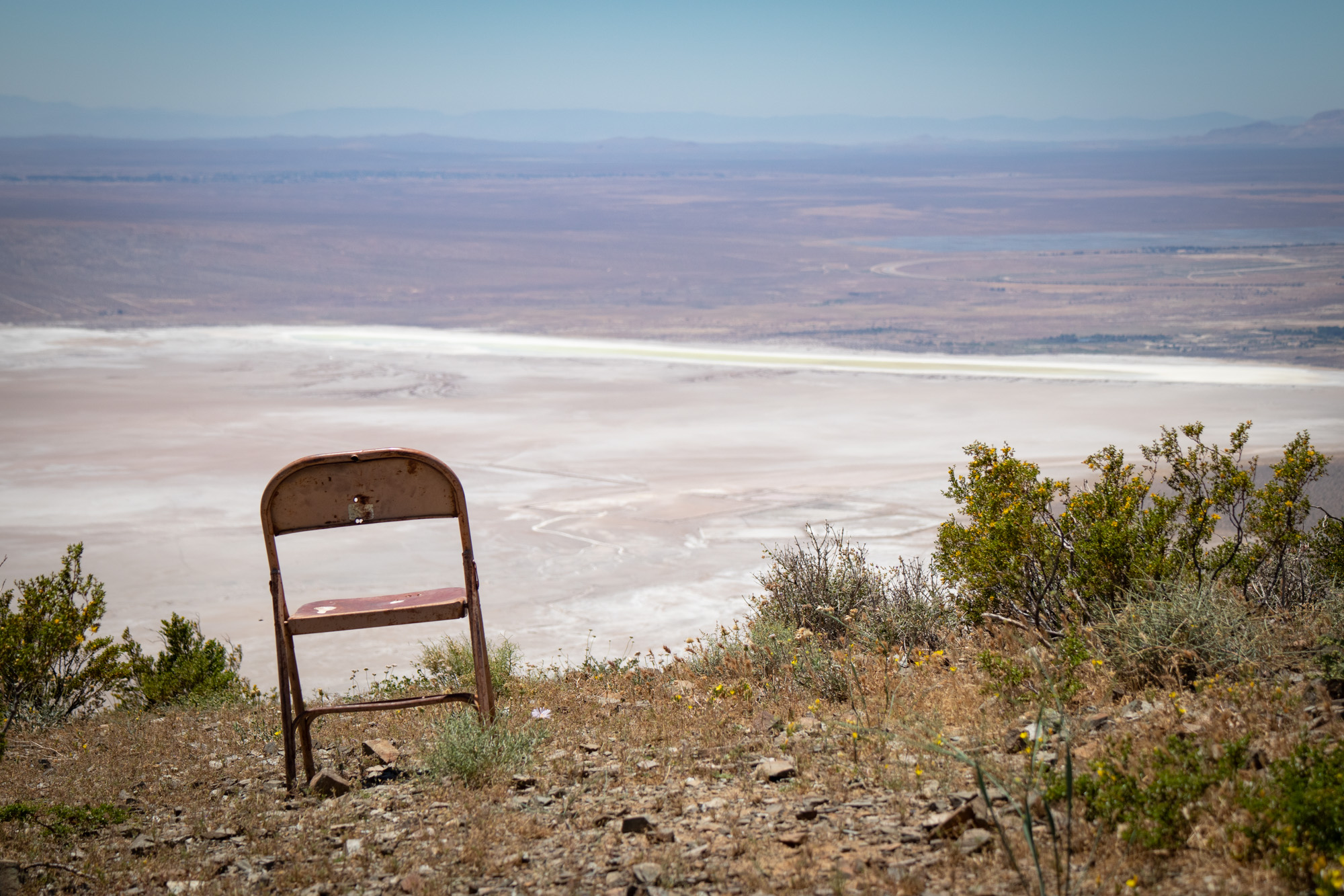
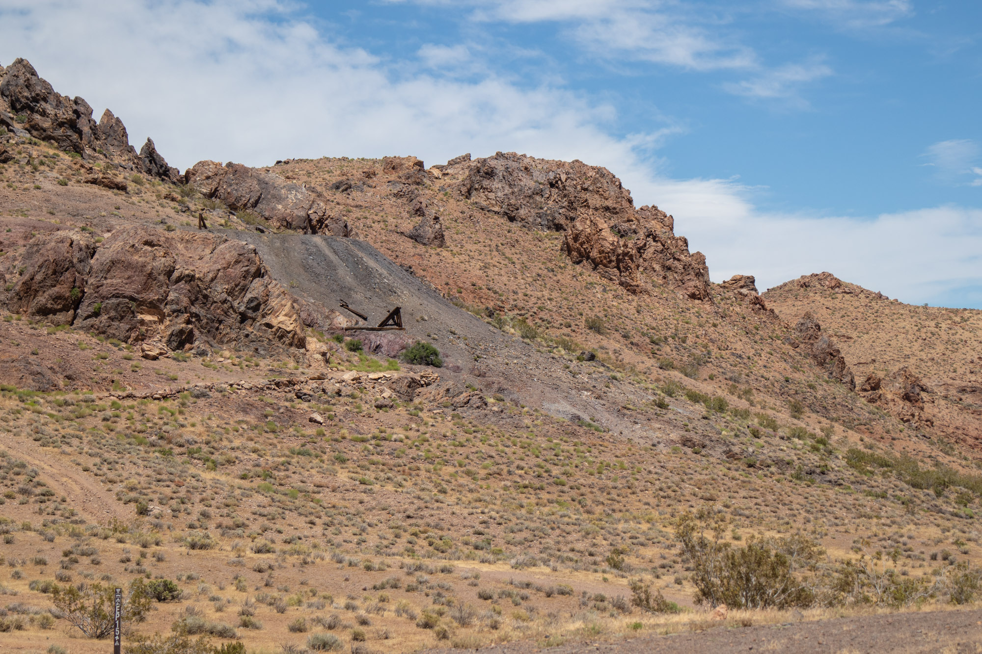
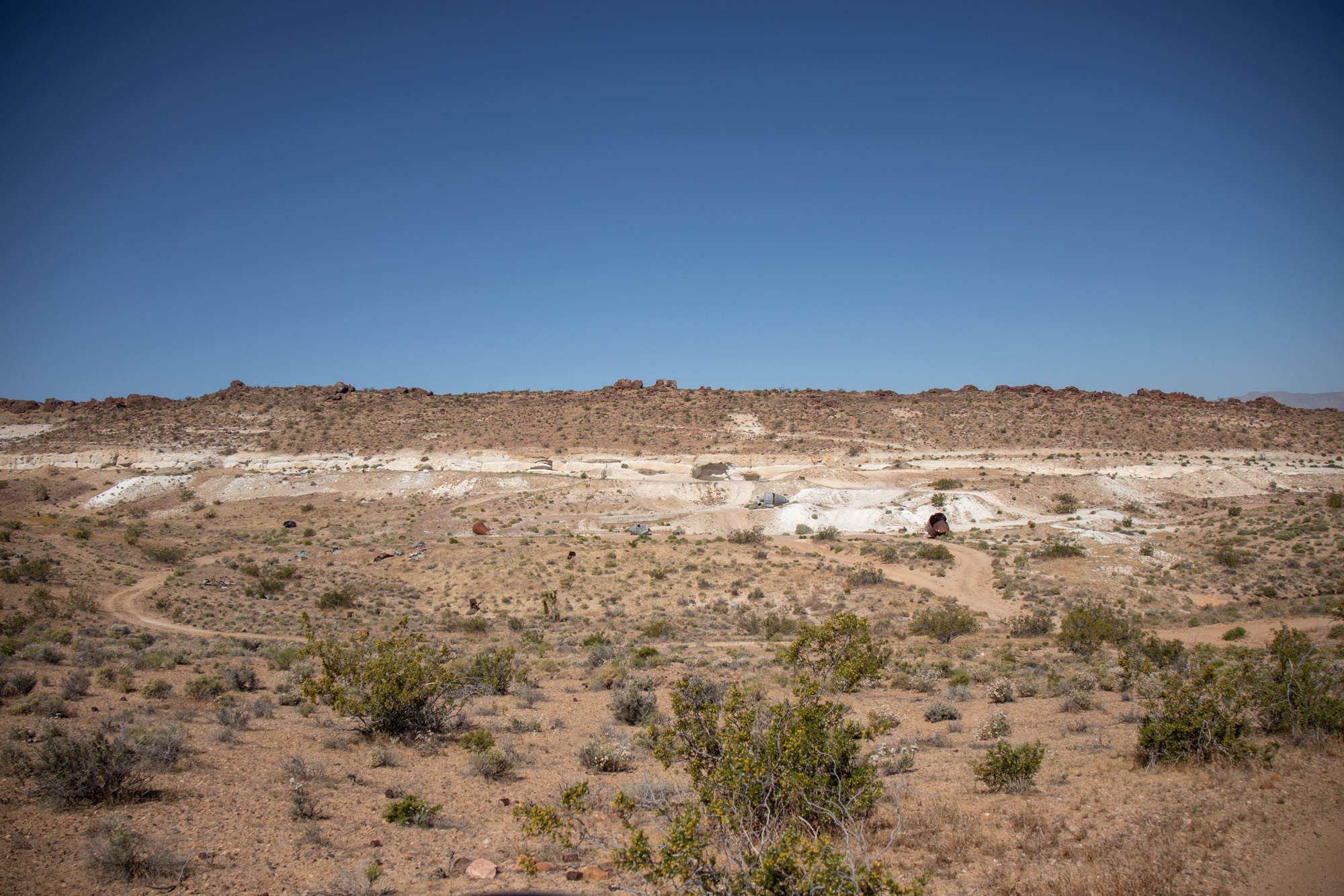
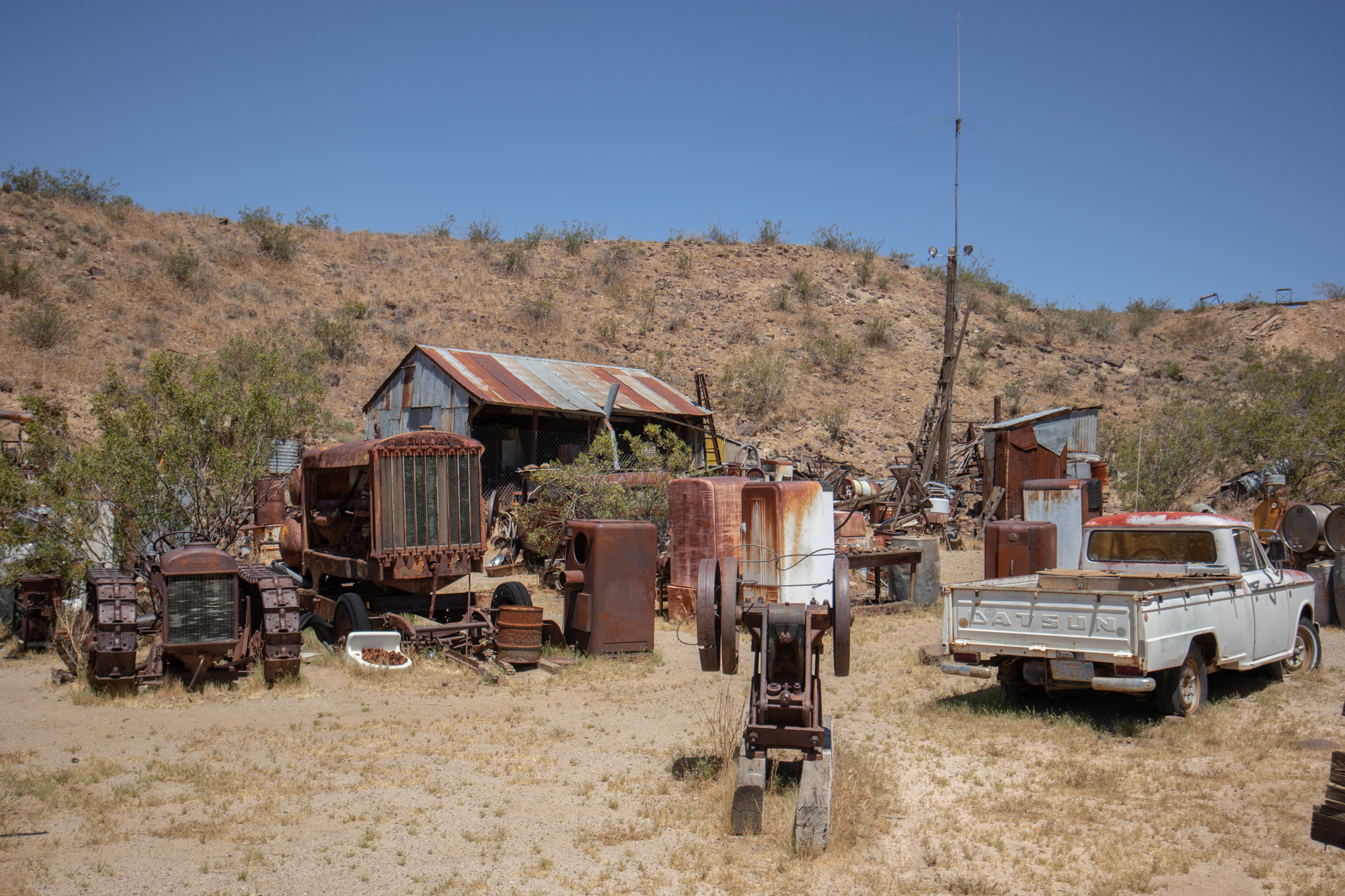
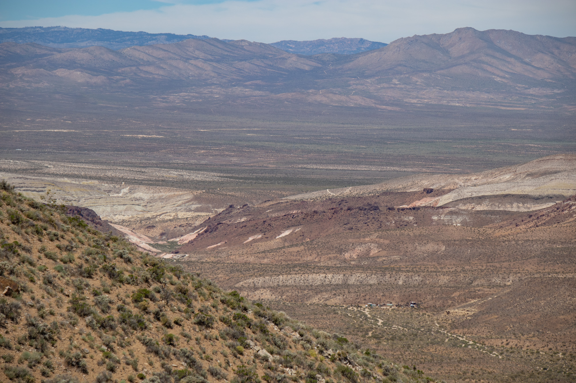
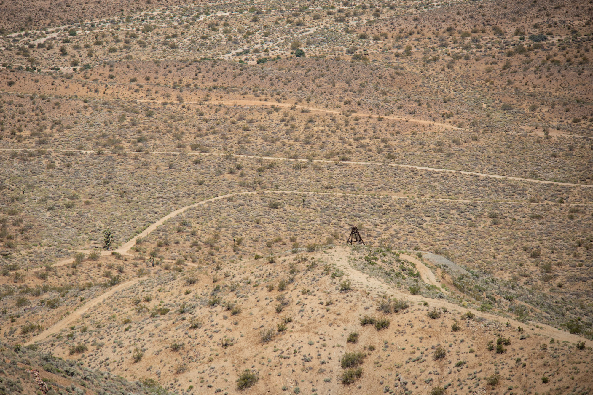
You can see the Old Dutch Cleanser Mine, Last Chance Canyon and Bickel's Camp far off in the distance.


IMG_6715.jpg


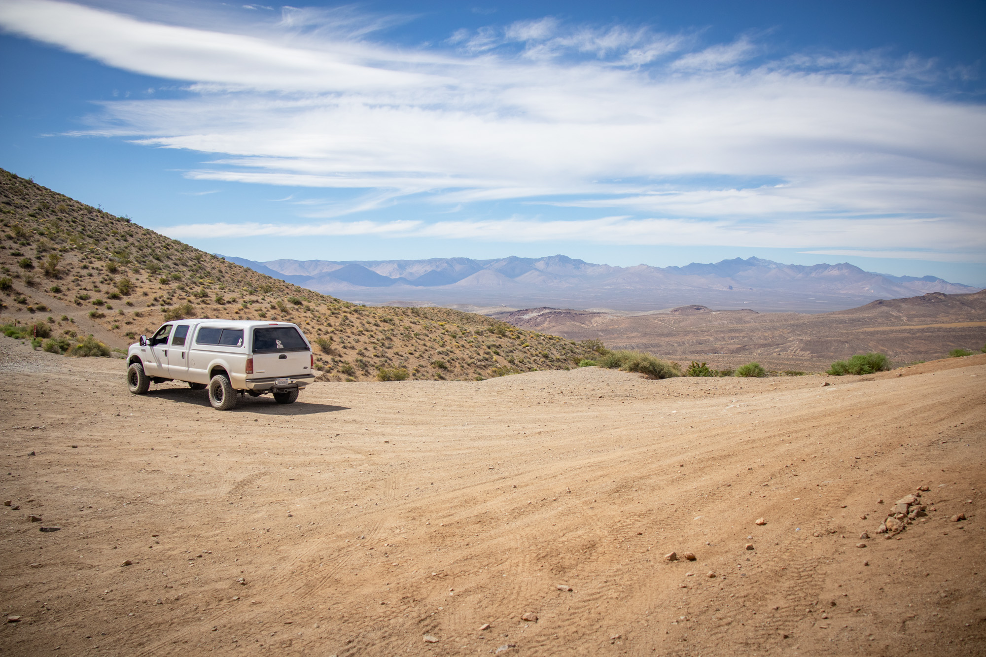
After finally reaching a spot that was as good as any, my stomach dropped a bit when I fully realized how much more there was to this climb. Don't get me wrong, had I been in the Tacoma or any of my previous vehicles I would do this in reverse, one tire fire, blindfolded and steer with my knee. Wouldn't have been a second thought going into it. But being by myself, testing out the trucks capabilities for the first time in a new area did made me second question myself. Decided to take a breather and scope it out on foot just to be sure what I would be getting myself into if I decided to go for it. The remaining climb didn't have any obstacles that would make it a challenge other than going up and keeping momentum. With that in mind, reassuring myself of my knowledge and experiences off-roading and doing a quick reality check I continued on.

IMG_6723.jpg


IMG_6717.jpg


IMG_8542.jpg


IMG_6719.jpg


IMG_6721.jpg

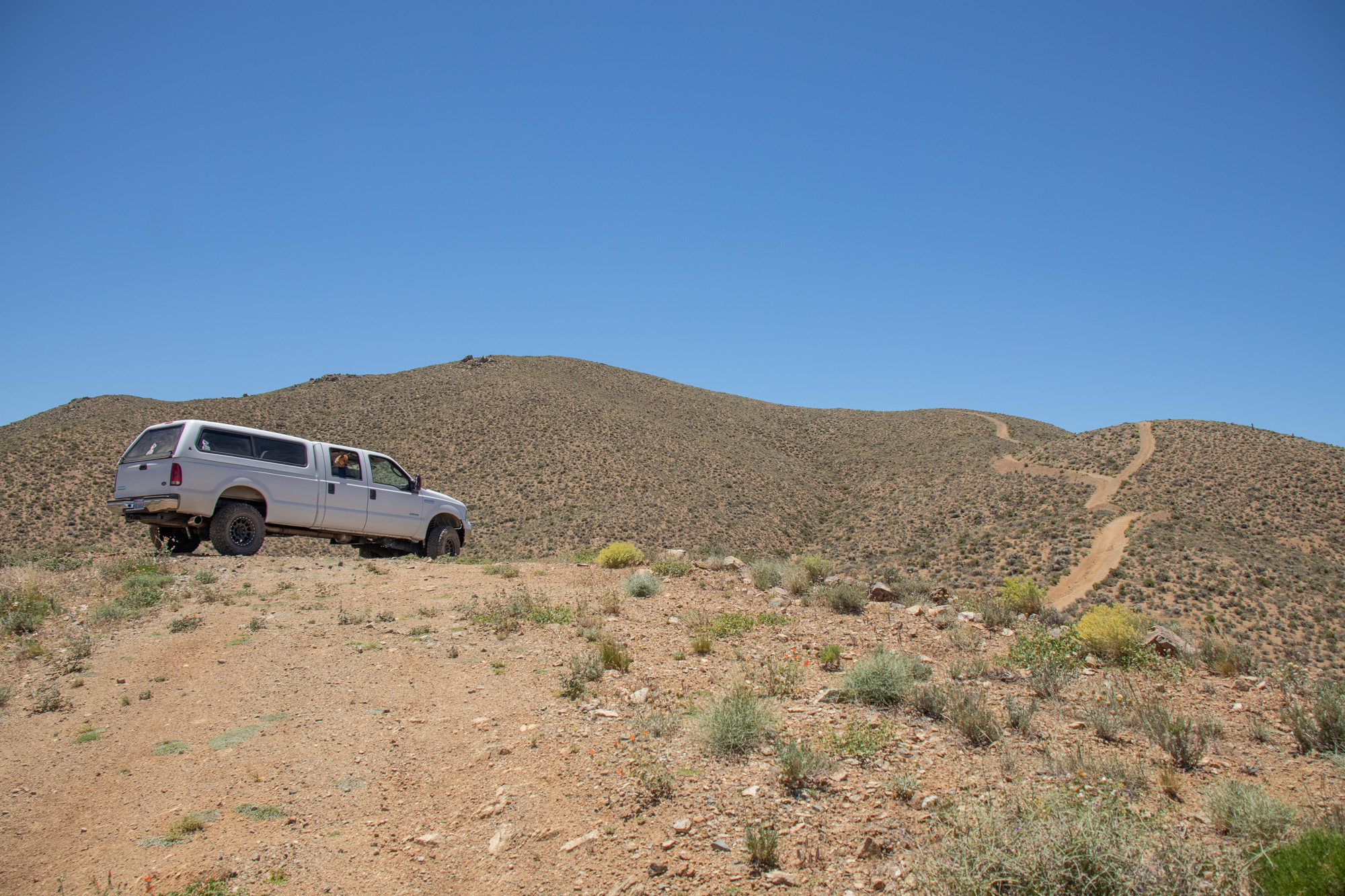
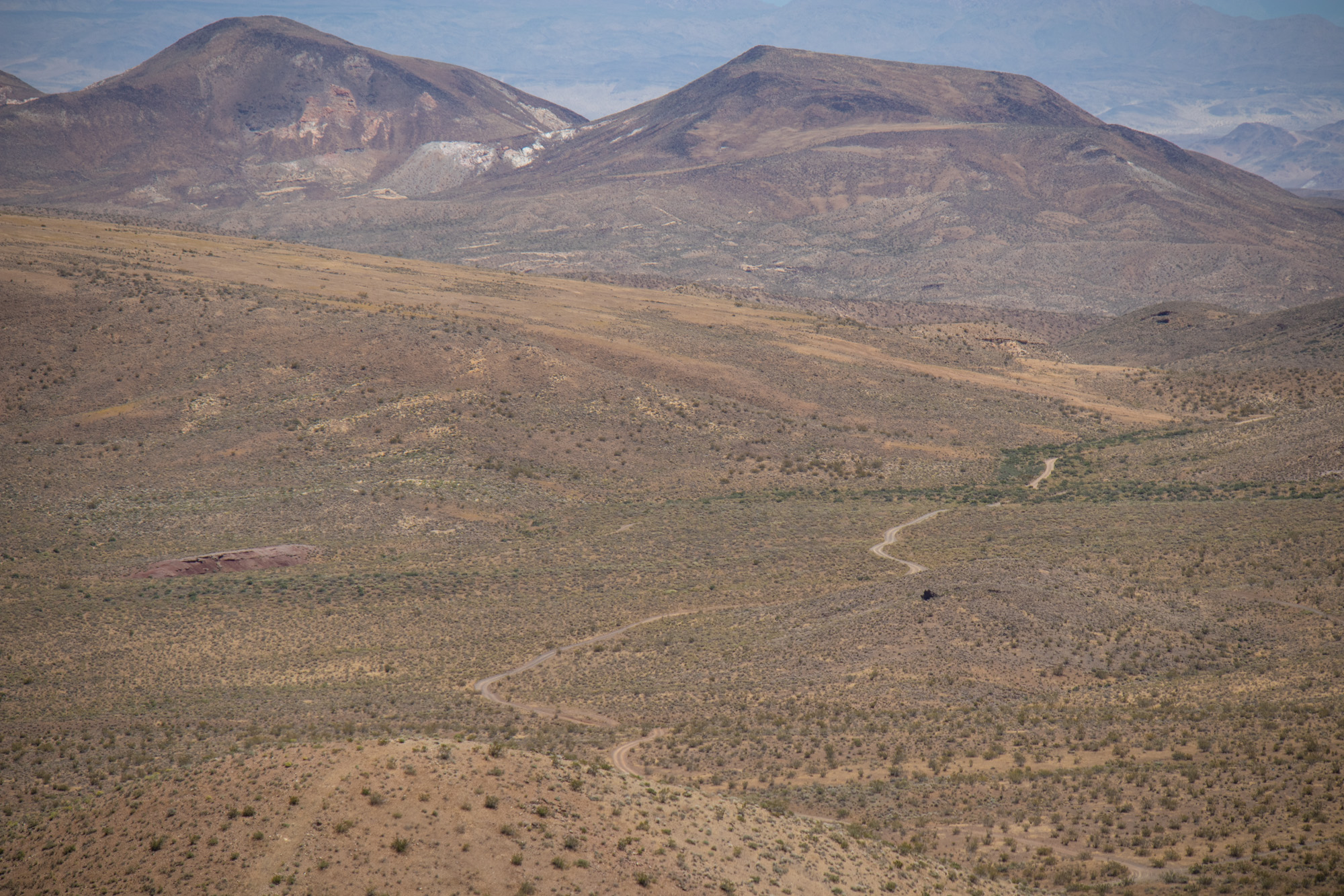
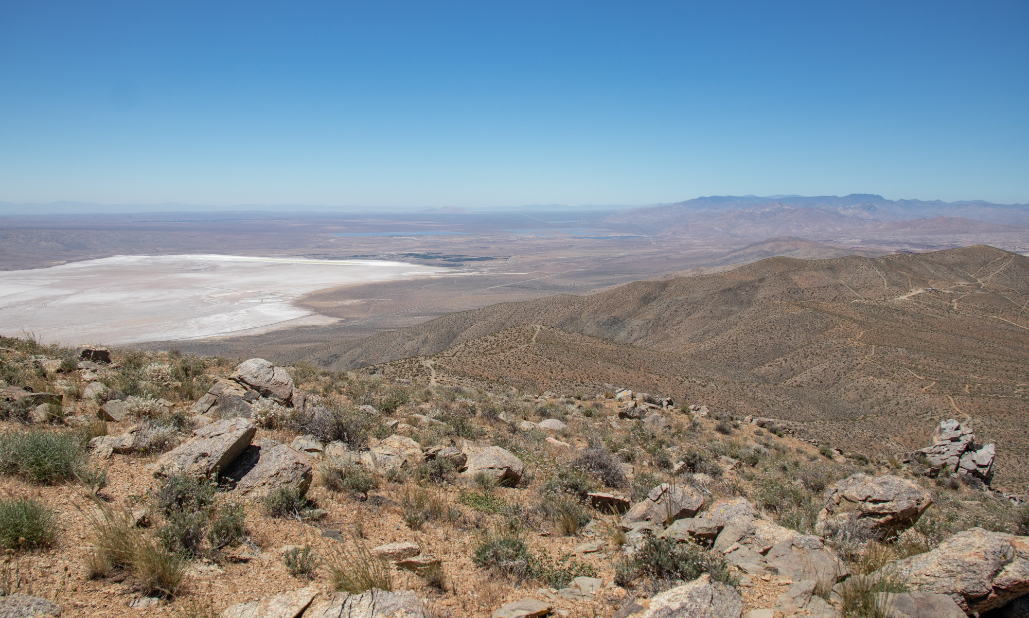
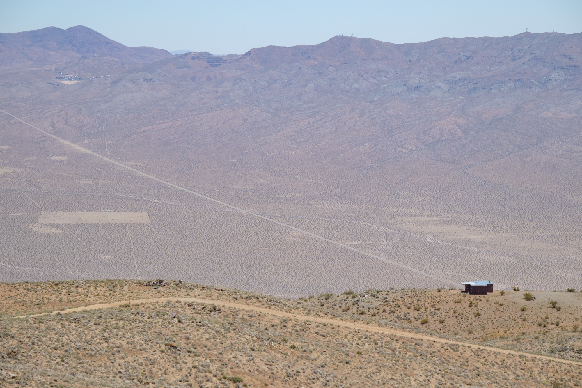
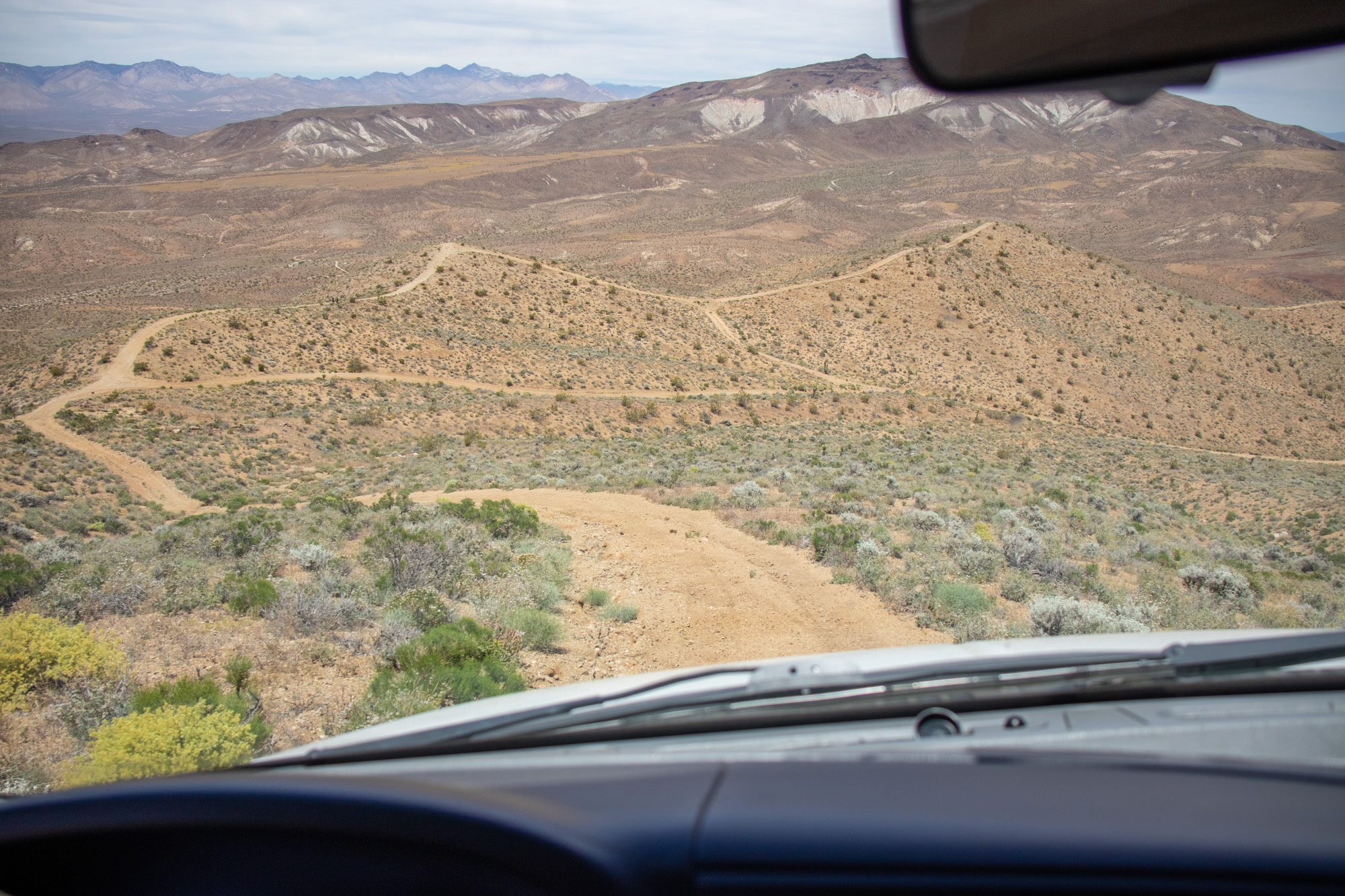
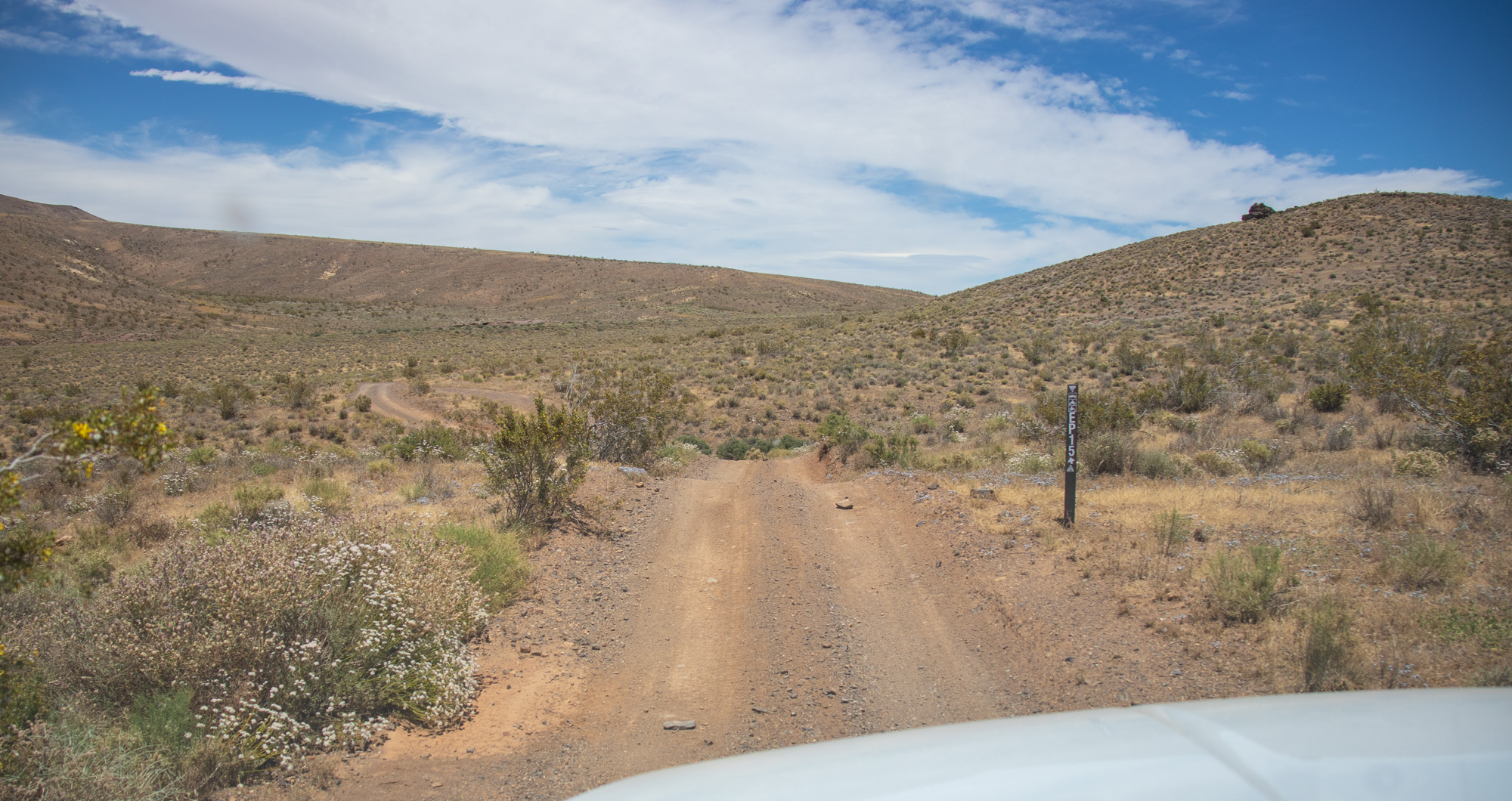
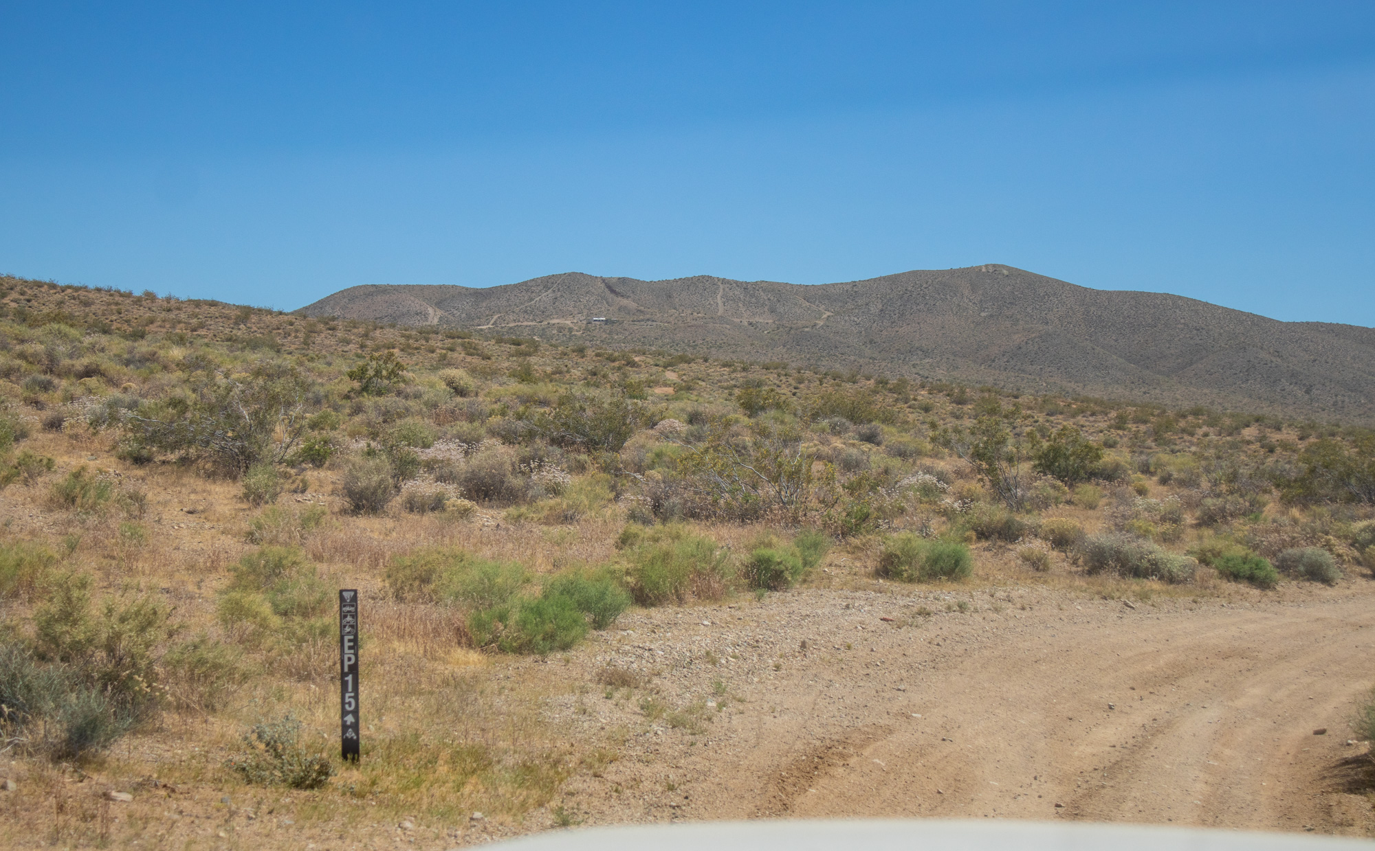
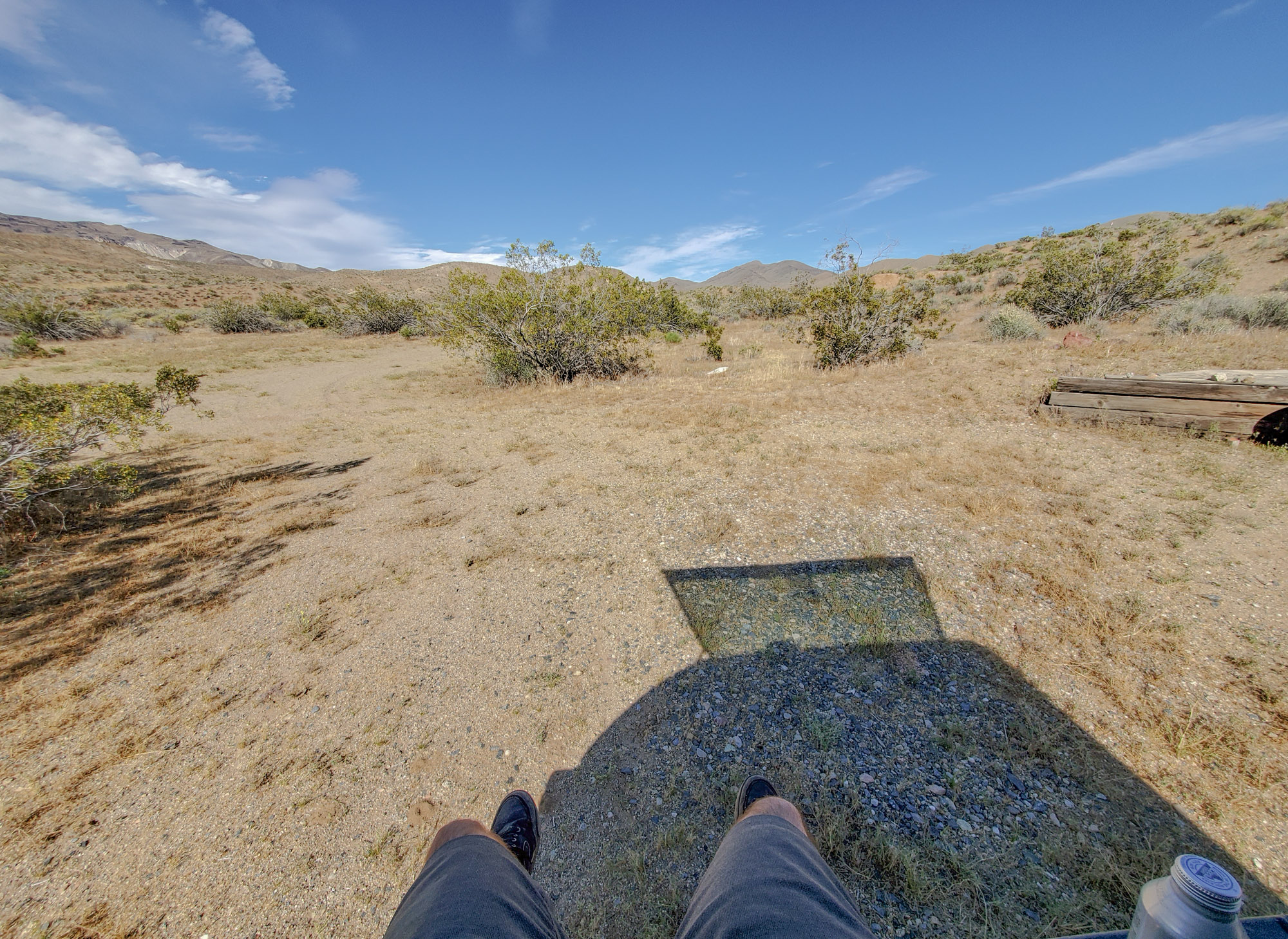
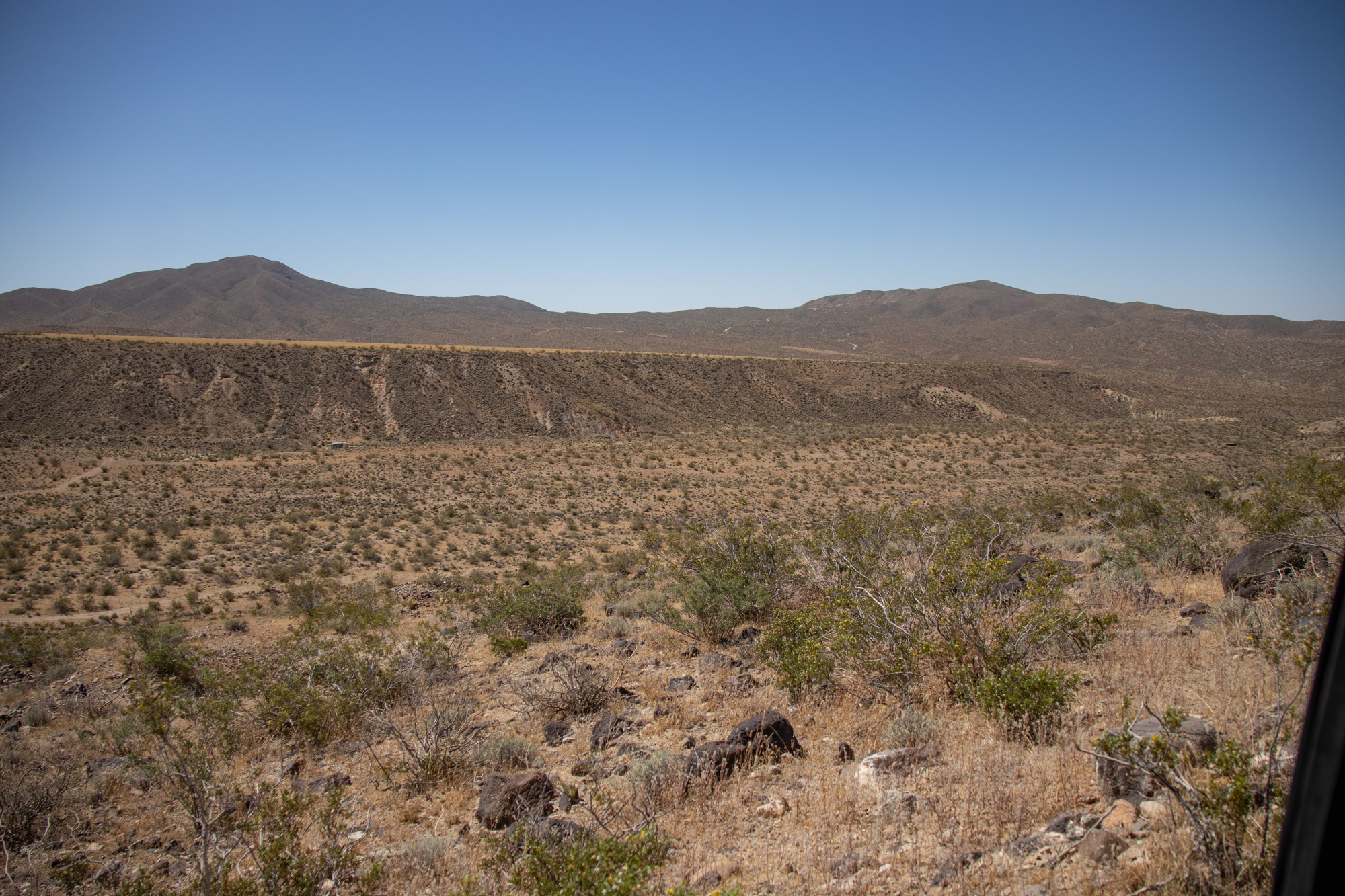
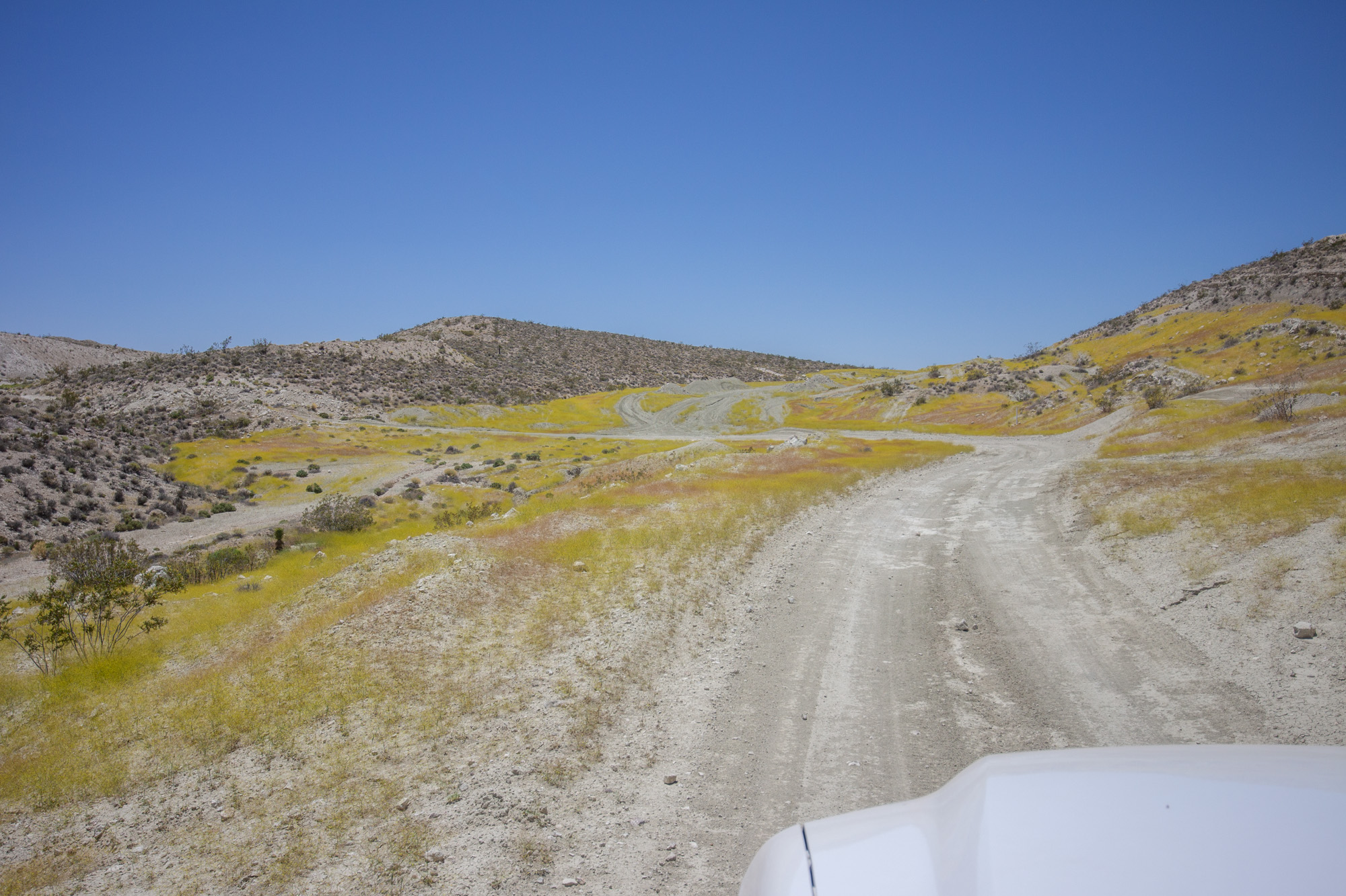
Looking down on EP15 - The "main" route through the area.
 

1MK

ExploreDesert
Once at top of the remaining big climb I got out to check out the surroundings. Views for days!

IMG_6730.jpg


IMG_6726.jpg

Looking back on the EP204.

IMG_6725.jpg

Burro Schmidt's Cabin off in the distance. The tunnel is right behind the small hill on the right.

IMG_6727.jpg

Looking South-West. Koehn Dry Lake Bed in Fremont Valley.


At this point you can also see the Walsh Cabin.

IMG_6731.jpg


IMG_6732.jpg


Easy drive the rest of the way to the cabin.

IMG_8551.jpg


IMG_6735.jpg


IMG_6741.jpg


I wasn't able to dig up any information on the Walsh cabin, either online or when I visited the Friends of Jawbone/Ranger station. Looking around the area and on maps doesn't look like much happened here in the form of mining other than a claim name of "Copperola Prospect" that supposedly shipped 30 tons of ore to a smelter in 1949.. There is a vertical shaft nearby, but you can see the bottom. Maybe filed a claim in order to build a cabin with a view? Nonetheless, it was extremely windy at this point. All the supporting cables make sense after being blown around while wandering.

Bummer it's in it's current condition as this would make one hell of a place to stay.

IMG_6745.jpg


20190607_124226.jpg


IMG_8560.jpg


IMG_8562.jpg


IMG_8563.jpg


IMG_8564.jpg


IMG_8565.jpg


IMG_8567.jpg


IMG_8571.jpg


IMG_6748.jpg


IMG_6746.jpg
 

1MK

ExploreDesert
After my fill of gusty wind it was time to get a move on. Backtrack down to Mesquite Canyon then connect with EP15 and head east. First, a quick stop to check out the small mine site next to the cabin.

IMG_6758.jpg


IMG_6756.jpg


IMG_6757.jpg


IMG_6762.jpg


IMG_6764.jpg


On EP15, first stop would be the Colorado Camp. Once used by gold miners seeking rest for the night after being out looking for their fortunes in the nearby hills of the surrounding desert, now nothing remains except a small foundation and a chimney stack.

IMG_6770.jpg


IMG_6771.jpg


IMG_8573.jpg


IMG_8578.jpg


Continued east on EP15, passing by a few mines along the way. The most notable being the Apache Mine which consisted of six copper claims and was established in the Goler Mining District in 1893, was also reopened for a short time during the 1920s.

IMG_8581.jpg


IMG_6780.jpg


IMG_6788.jpg

The Apache Mine


IMG_6790.jpg


IMG_6800.jpg


IMG_6802.jpg


IMG_8582.jpg
 

1MK

ExploreDesert
"The Holland Camp was first owned by Burro Schmidt, as part of his Copper Basin Group claim. But once he was engrossed by his tunnel project, Schmidt no longer tended to this claim and sold it to the trio of William Smith, Neil Brown, and John Hamblen. They began to develop Holland Camp in the late 1930s, but the site quickly died out in 1940." A mill at the camp in 1940 recovered a few ounces of gold and less than 100 pounds of copper.

IMG_6805.jpg


IMG_6808.jpg


IMG_6809.jpg


IMG_6813.jpg


IMG_8589.jpg


IMG_8590.jpg


IMG_8593.jpg


IMG_6812.jpg


DJI_0008.jpg


DJI_0003.jpg


DJI_0011.jpg


IMG_8596-Pano.jpg
 

1MK

ExploreDesert
Wanted to check out a couple old cars that are in the area before heading back on the EP15 towards Burro Schmidt's & Bickel Camp.

IMG_6822.jpg


IMG_6824.jpg


IMG_6826.jpg


IMG_6828.jpg


IMG_6830.jpg


IMG_6831.jpg


IMG_6834.jpg


IMG_6837.jpg


IMG_6838.jpg


IMG_6851.jpg

The headframe from the Zuna Claim that I spotted while going to Walsh Cabin.

IMG_6852.jpg

Burro Schmidt's

IMG_6860.jpg


"William Henry Burro Schmidt was frail and small of stature, yet he prospected around Kern County and established claims in the El Paso Mountains. In 1906 he began to dig, drill, and blast his way through the interior of the mountain. After 32 years, in 1938, a daylight was finally visible through the far side of the tunnel. Unfortunately he revealed no gold."

There's a great article on "Burro Schmidt" and his life's work at by Scott Schwartz and DesertUSA

IMG_6881-Pano.jpg


IMG_6893.jpg


IMG_6895.jpg


IMG_6906.jpg
 

1MK

ExploreDesert
Around the cabin and up over the back side of the small hill reveals the tunnel. I'll admit I chickened out going through, just something about the current mood of the desert brought on a Hills Have Eyes vibe.

IMG_6930.jpg


IMG_6925.jpg


IMG_6926.jpg


IMG_6933.jpg


IMG_6934.jpg


IMG_6935.jpg

View looking back from the tunnel.


Feeling like it was about that time to head to camp and relax for a bit, began the short journey back down the mountain and passed by Bickel Camp.

IMG_6936-2.jpg


IMG_6937.jpg


IMG_6940.jpg


Bickel Camp was closed, most likely because it was a weekday and getting later in the day. I continued to a camp spot up the way on EP30.

IMG_6943-Pano.jpg


IMG_6961.jpg


IMG_6960.jpg


IMG_6957.jpg


IMG_6958.jpg
 

1MK

ExploreDesert
Nice thing about no service and being solo, you can take the time to actually relax. Sound of the wind, rad scenery, no distractions, bit of reading/research and a few cold beers was exactly what I needed. Felt good to be in my element.

20190607_165604.jpg


IMG_6964.jpg


IMG_6972.jpg


As the sun set, the wind finally died down, finally. "Cooked" a dinner, started a camp fire and relaxed under the stars for a couple hours until the FMA (fast moving air) returned.

IMG_6980.jpg


IMG_6988.jpg


IMG_6996-1.jpg


IMG_6998-1.jpg


IMG_7002_PS-1.jpg


IMG_7005-1.jpg


In the morning quickly packed up and started the day. Drove towards Last Chance Canyon using EP15. I knew I'd only be able to go so far, due to time and trying to keep myself from being in a bad position. The further you go, the more obstacles you encounter including a decent slope called "Graduation Hill" and the wash/trail gets more rocky. Not something I was ready to tackle by myself or first trip in the truck.

IMG_7011.jpg


IMG_7015.jpg


IMG_7020.jpg


IMG_7025.jpg

Mmmm Ice Cream...


The trail gets sandy as it takes you by various small prospects, however they're overshadowed by the giant Old Dutch Cleanse Mine.

IMG_8610.jpg


IMG_8611.jpg


IMG_7041.jpg


IMG_7088-Pano.jpg

The Old Dutch Cleanse Mine is along the top ridge.

IMG_7074-Pano.jpg


IMG_7060-Pano.jpg
 

1MK

ExploreDesert
Dropping back into the wash is where I decided to turn around and make the drive back to the intersection of EP15/Last Chance Canyon and EP30.

IMG_7048.jpg


IMG_7051.jpg

Heading back up Last Chance Canyon.

IMG_7092.jpg


IMG_8619.jpg


At the EP15 & EP30 intersection there's a piece of a trammel to help point travelers where Schmidt's tunnel is.

IMG_7100.jpg


IMG_7099.jpg


IMG_7104.jpg


On a spur road close by a couple cabins, stone structure and well remain from the Broken Spade & Boulder claims.

IMG_7122-Pano.jpg


IMG_7128.jpg


IMG_7105.jpg


IMG_7130.jpg


IMG_7110-Pano.jpg
 

1MK

ExploreDesert
From here jumped back on the EP15 to do a portion of the Bonanza Trail. On the other side of the hill is the Holly Ash / Calsilco Mine, a large pumice deposit.

"During the late 1800's and early 1900's miners discovered the pumice which was used for cleaning material. There was fierce competition between multiple mines in regards to the pumice that was found here."

"The Calsilco deposit was first worked by a unidentified concern from 1919 to 1945, then briefly by the Insulpum Corporation, and since 1946 by the Calsilco Corporation. Total production is greater than 25,000 tons of raw material. The raw material was being mined intermittently in 1958, milled and bagged on the property, and hauled by truck to Los Angeles or rail siding. The finished products have been used in insulation and acoustical plaster, cleaning compounds, wood and paint fillers, toothpaste, soil conditioners, and oil-absorbing compounds."

IMG_7139.jpg


IMG_7141.jpg


IMG_7142.jpg


IMG_7143.jpg


IMG_7146.jpg


IMG_7147.jpg


IMG_7150-Pano.jpg


IMG_7162-Pano.jpg


IMG_7173.jpg


20190608_095300.jpg


Onto the Bonanza Trail

IMG_7177.jpg


IMG_7180.jpg


IMG_7182.jpg


IMG_7184.jpg

The Post Office in the distance


Dropping down into the Bonanza Gulch is quick and easy.

IMG_7188.jpg


IMG_7186.jpg

The Sears Cabin down in the Bonanza Gulch.
 

1MK

ExploreDesert
First stop - Post Office.

"Originally a post office built in the 1930's to serve the community around and in Bonanza Gulch, the Post Office suffered from vandalism in the early 2000's. After being nearly destroyed, the BLM and historic cabin volunteers rebuilt and restored the cabin in 2006."

IMG_7193.jpg


IMG_8629.jpg


IMG_8628.jpg


IMG_8624.jpg


IMG_8626.jpg


Onward to the Sears Cabin.

IMG_7197.jpg


IMG_7204.jpg


20190608_102419.jpg


20190608_102443.jpg


20190608_102504.jpg


20190608_102508.jpg


20190608_102551.jpg


20190608_102525.jpg


IMG_7200.jpg

Looking further down the gulch the Jon-Jac Cabin becomes visible.
 

1MK

ExploreDesert
Short drive down the trail and I stop at the Jon-Jac cabin. Was there only a couple minutes before 2 vehicles rolled in and parked. 2 gentleman got out, introduced themselves and gave me a bit of history while exploring. Members of the Hi-N-Lo Off-Road group, they had previously done quite a bit of work to this cabin in the early 2000's.

IMG_7205.jpg


IMG_8630.jpg


IMG_7207.jpg


IMG_8632.jpg


IMG_8633.jpg


IMG_8636.jpg


IMG_8637.jpg


IMG_8642.jpg


One more cabin lays within the gulch, but not in the same condition as the previous three. Failed to find any information on the cabin or nearby claims.

IMG_7208.jpg


IMG_7213.jpg


IMG_7219.jpg
 

1MK

ExploreDesert
Finally onto Bickel's Camp. I was glad to see the gates open and a caretaker on site as that's the only time visitors are welcome on the property.

"This depression era mining camp was founded by Walt Bickel in 1934. Walk mined placer gold in the area using unique tools and methods he experimented with and perfected. He kept busy studying astronomy, edible plants, geology and the archaeology of this fascinating area in the El Paso Mountains".

There's a dedicated website to the Bickel Camp - https://www.bickelcamp.org

IMG_7254-Pano.jpg


IMG_7253.jpg


IMG_7231.jpg


IMG_7233.jpg


IMG_7234.jpg


IMG_7238.jpg


IMG_7239.jpg


IMG_7249.jpg


IMG_7244.jpg


IMG_7245.jpg
 

1MK

ExploreDesert
You could potentially spend hours here depending on how much you want to see. But for me it was time to make the trip home even though I had originally planned to camp again somewhere in the area. The harsh wind and covering all the main areas I wanted to see this trip made the decision a easy one. There was one last stop along the way, and that's the Old Dutch Cleanse Mine.

IMG_7266.jpg


IMG_7277.jpg


IMG_7284.jpg

Rad little overlook on the way to the Old Dutch offers a nice vantage point of Last Chance Canyon. On the top of the mountain in the distance you can see a small bit of trail, EP204, the way up to Walsh Cabin.

IMG_8644.jpg


"Pumicite production from the property began in 1923 under the auspices of the Cudahy Packing Company. Material was removed from underground workings along wide drifts on a vein height up to 21 feet from floor to ceiling. The large side-by-side portals of these workings on the face of the white outcrop are still completely intact.

During the early mining period hand labor was used to remove slabs of the semi-hard, brittle material for placement in 1-1/2-ton side-dumping cars pulled up out of the mine into daylight by burros. Twelve men were employed to produce 100 tons of pumicite per week. While remote western ores were hauled to shipping centers by burro or mule-team, the ore from The Old Dutch Cleanser mine was lowered to loading bins over a 475-foot- long inclined rail tramway. Evidence of this unusual conveyance is easily observed today, most safely from the lower roads.</em>

From the base of the rail tramway the mined rock was trucked to a siding on the Southern Pacific Railroad seven miles due south of the mine. The tramway on the western workings was shut down when a road was built to the eastern workings on the same vein. Truck loading was then employed near the working portals. Rail cars delivered the ore to Los Angeles, where it was ground and blended with other material to produce a disinfecting scouring powder. </em>

The product was and is widely known throughout the U.S. as Old Dutch Cleanser, a domestic kitchen and bathroom scouring agent. Beginning in 1947 the manufacturers obtained their pumicite from other sources." [Mine-Engineer]

Just the view of Last Chance Canyon is worth the detour.


IMG_7317.jpg


IMG_8647-Pano.jpg


IMG_7319.jpg


20190608_123812.jpg


IMG_7289-Pano.jpg


It was off to find pavement and begin the journey home. Followed markers for Sierra View Road towards Jawbone Station until it met Highway 14.

IMG_7323.jpg


IMG_7325.jpg


Felt great to be back exploring and definitely can't wait to go again. This trip was the perfect kick in the ass to continue the adventure.

Until next time!
 

Forum statistics

Threads
185,914
Messages
2,879,585
Members
225,497
Latest member
WonaWarrior
Top